January — it’s cold, it’s snowing, it’s wet. The perfect time take your feet off the pedals for a moment, to plan ahead, to decide what you want your cycling year to look like. As a little inspiration for those brighter times in the year ahead, here’s an A to Z of local cycling highlights… both the peaks and puddles.
The glorious bike-shaped triangle between Stockport, Macclesfield and Buxton offers such a diverse mix of places, trails and lanes to discover. Perhaps you’ve ridden every one a million times, but if you’re new to cycling, it can be daunting just finding them.
It took me years to master a knowledge of enjoyable routes, which feel “safe” enough, in this special place between town and country, and now I want more people to discover and start riding them, too.
Hopefully, letter-by-letter, it won’t be too obvious. (Spoiler alert: M won’t stand for Monsal Trail, but you’ll certainly see it mentioned here.)
Some letters offer endless choices, others few at all. I’ll probably miss a load of great spots out. The main idea is to give a broad enough range of places and potential rides, to remind us of what an awesome landscape this is and give that ping of desire to get out and explore a little beyond our comfort zone, as soon as we can.
Which ones are on your to do list this year?
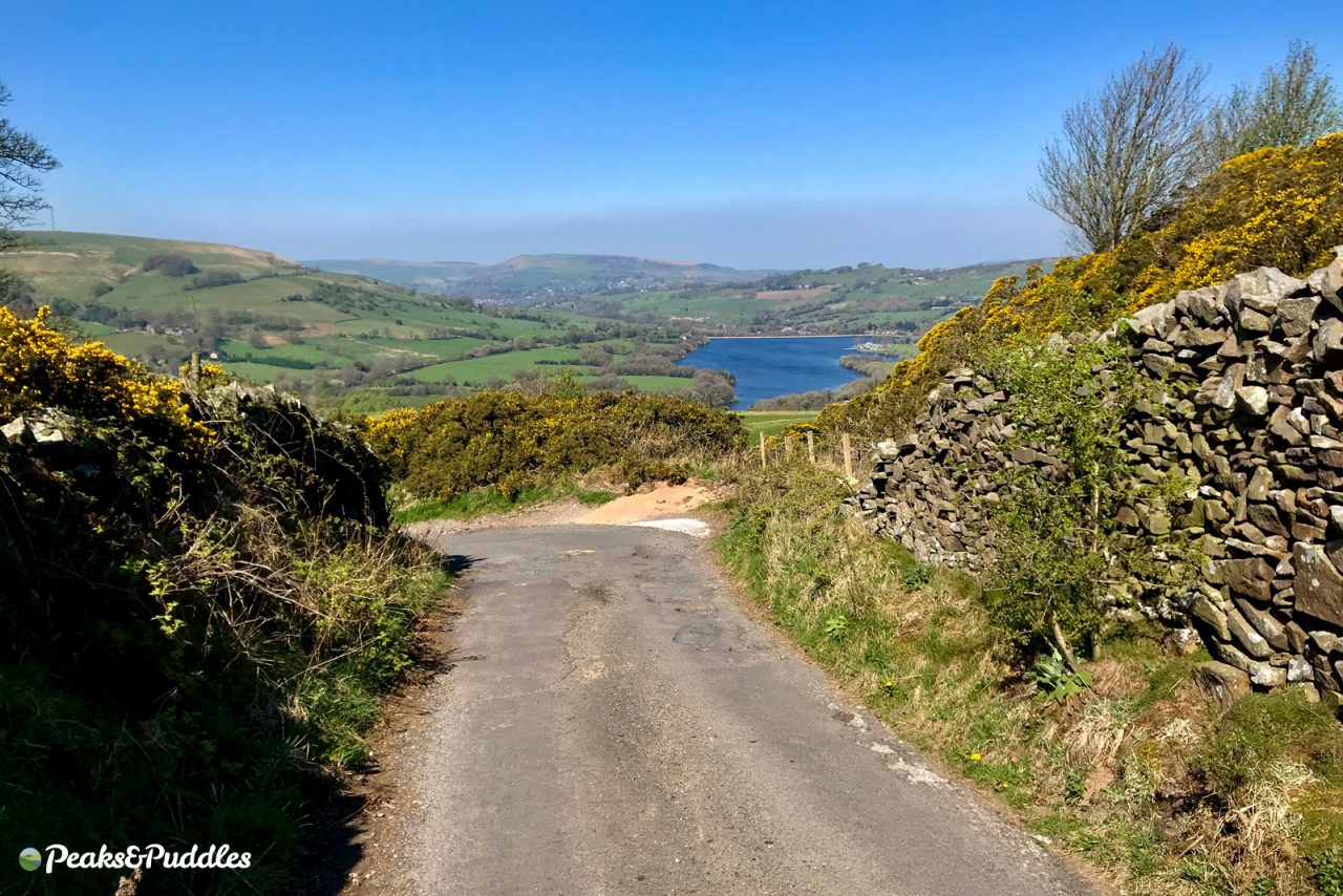
A is for… Ashopton
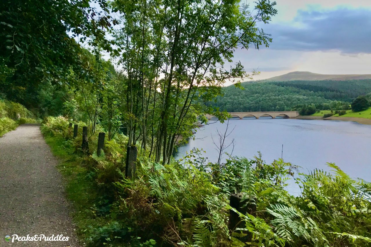
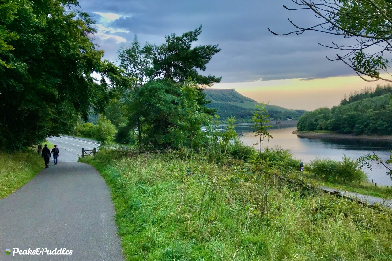
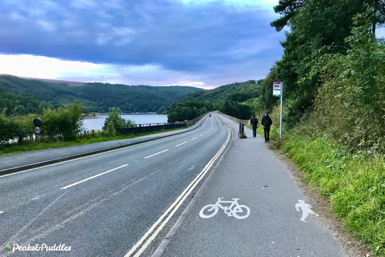
- Featured route: Upper Derwent Valley
Poor Ashopton. Despite the thousand upon thousands who drive across its viaduct on the A57 Snake Pass, or visit its reservoirs, few rarely say its name in favour of simply: “Ladybower”.
But it’s Ashopton which is the true gateway to the Upper Derwent Valley, a village cruelly flooded (like the more well-known Derwent) in 1944 for the enormous reservoir project.
The construction included the Ashopton Viaduct carrying the road itself and yes, this really is a viaduct. Though its arches hang low to the reservoir in wetter months, the piers strike deep downwards right into the flooded valley. Astonishing pictures show the viaduct rising into the sky at the same time as the village’s buildings below were mostly levelled to the ground.
It now also marks a special place in local cycling, as one of the very few examples of actual road cycle infrastructure in the High Peak. Gosh, yes! It’s, err, half a pavement — that ends at the sometimes busy road to Fairholmes, where you’re on your own — but it’s useful and welcome all the same.
- Find on OpenStreetMap
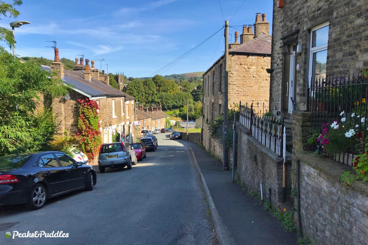
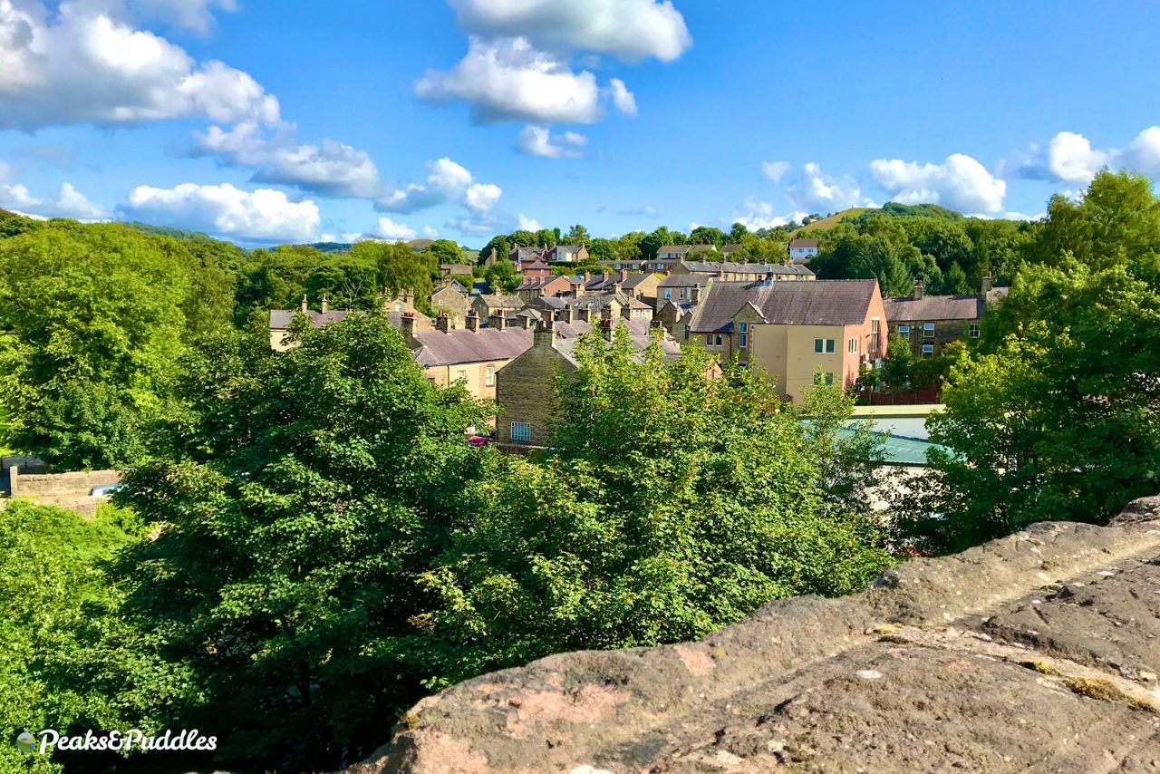
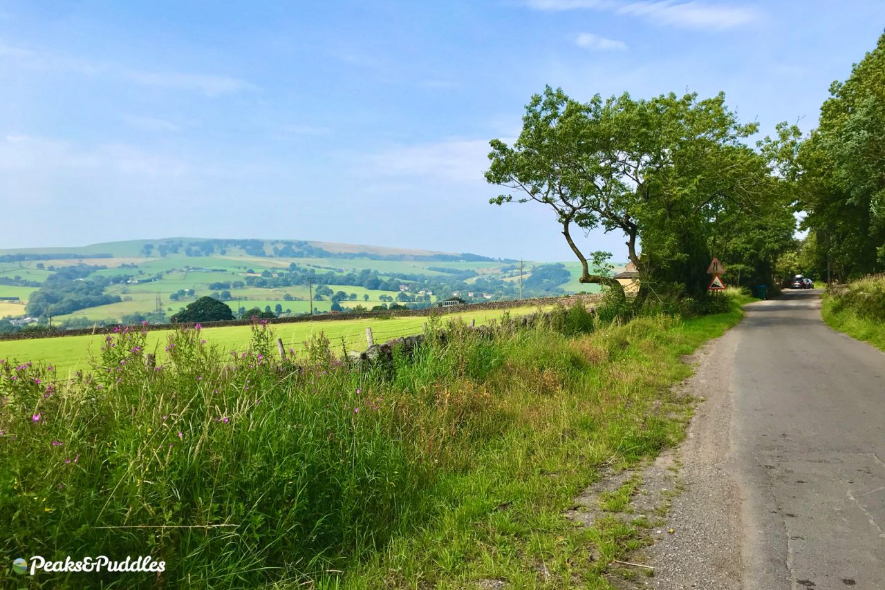
B is for… Bollington
- Featured routes: Middlewood Way, Beginners’ Brickworks
One look at the Cheshire village of Bollington with its gritstone houses, tightly packed and climbing the hillside, and you could be forgiven for thinking you’d crossed into Derbyshire. This is oh-so-flat Cheshire’s own edge of the Peak District, just as dramatic, just as hilly — if not more so!
The torturous Blaze Hill climb begins right here from the top of the town, and the Brickworks climb of “Tour of Britain” fame is not far away if you branch off the other way to Pott Shrigley (which would’ve been a fabulous “P” if I didn’t have something even better in mind).
For something lighter, climb atop the 23-arch viaduct, saved only by a local campaign, to ride the Middlewood Way a delightful 7 miles uninterrupted to Marple. My first cycling experiences were always starting at the other end and let me tell you, making it to this viaduct for the very first time was a Big Deal.
- Find on OpenStreetMap
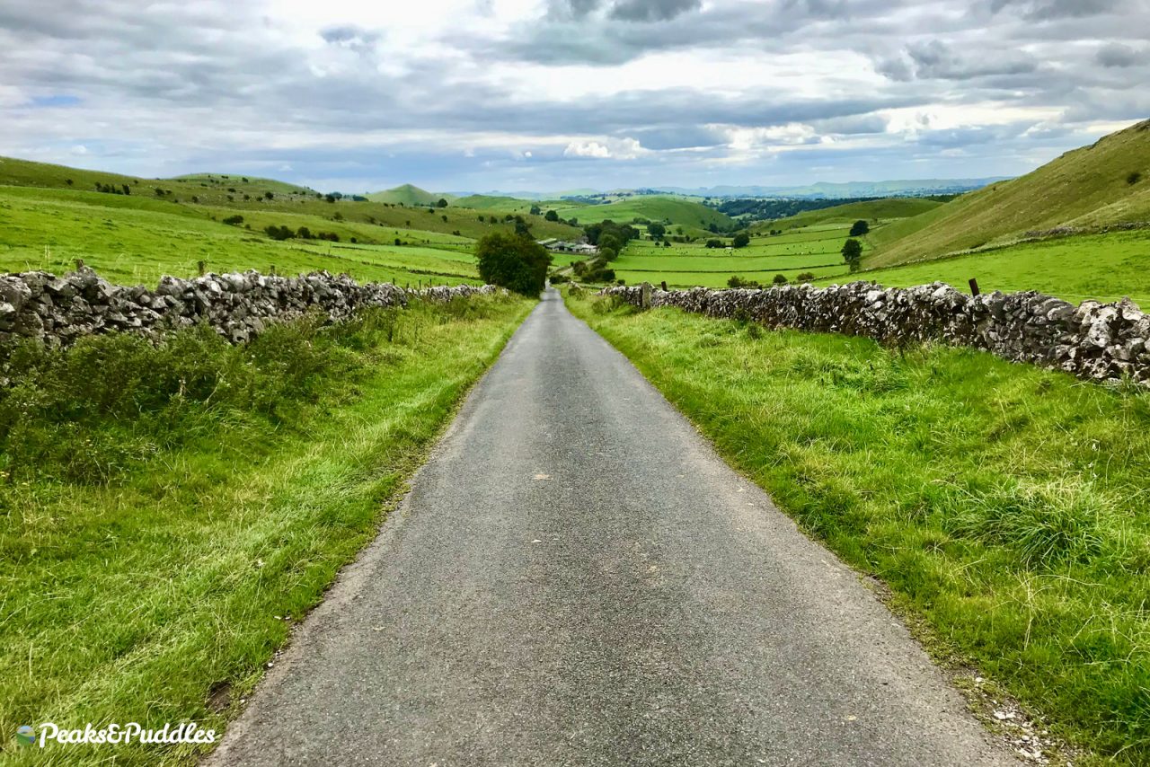
C is for… Combs
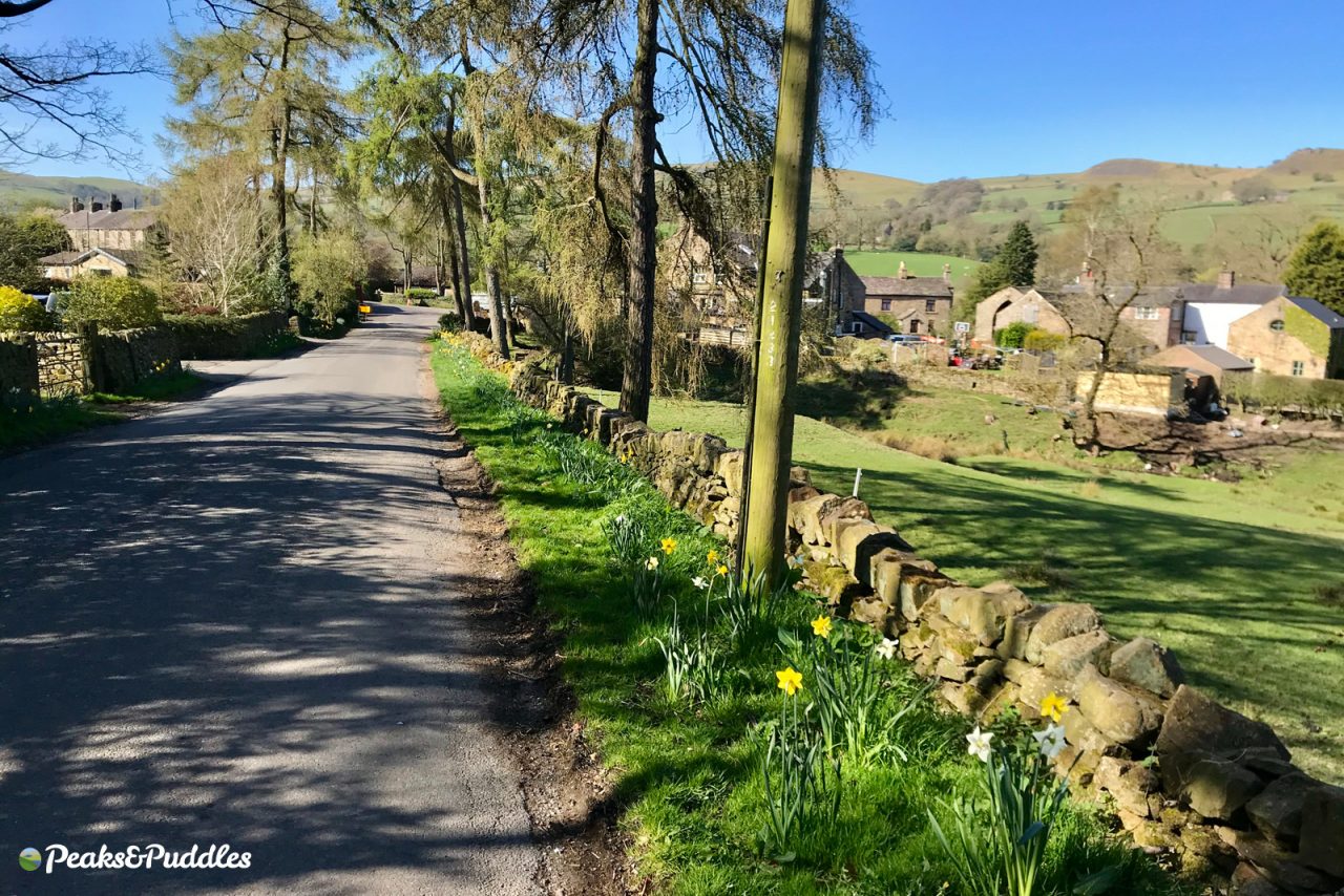
- Featured route: Peaks and Perry Dale
A scenic, almost hidden village near Chapel-en-le-Frith with a popular pub and plenty of walks is also a gem for cycling, perhaps little known outside the local area.
The lane down into the village is enjoyable in itself and somehow always longer than you remembered. Be warned, though: hugged by the enormous moorland plateau of Combs Moss, the hills beyond are ridiculous.
The practically vertical climb up Cowlow Lane to Castle Naze (OpenStreetMap^) is one of two rewarding you with spectacular views of the reservoir below, which feeds the Peak Forest Canal.
The other, titled Lesser Lane (OpenStreetMap^) as if some cruel joke, is no less-of-a challenge. As you approach it around the narrow, twisting lane, it suddenly appears ahead of you climbing into the sky like the never-ending chain lift of a record-breaking roller coaster. If you make it to the top of there without stopping, you’re essentially superhuman.
If you decide to descend either lane, much care is needed for the gravelly surface and narrowness. This is no time to go light on the brakes.
- Find on OpenStreetMap
D is for… Dolly Lane
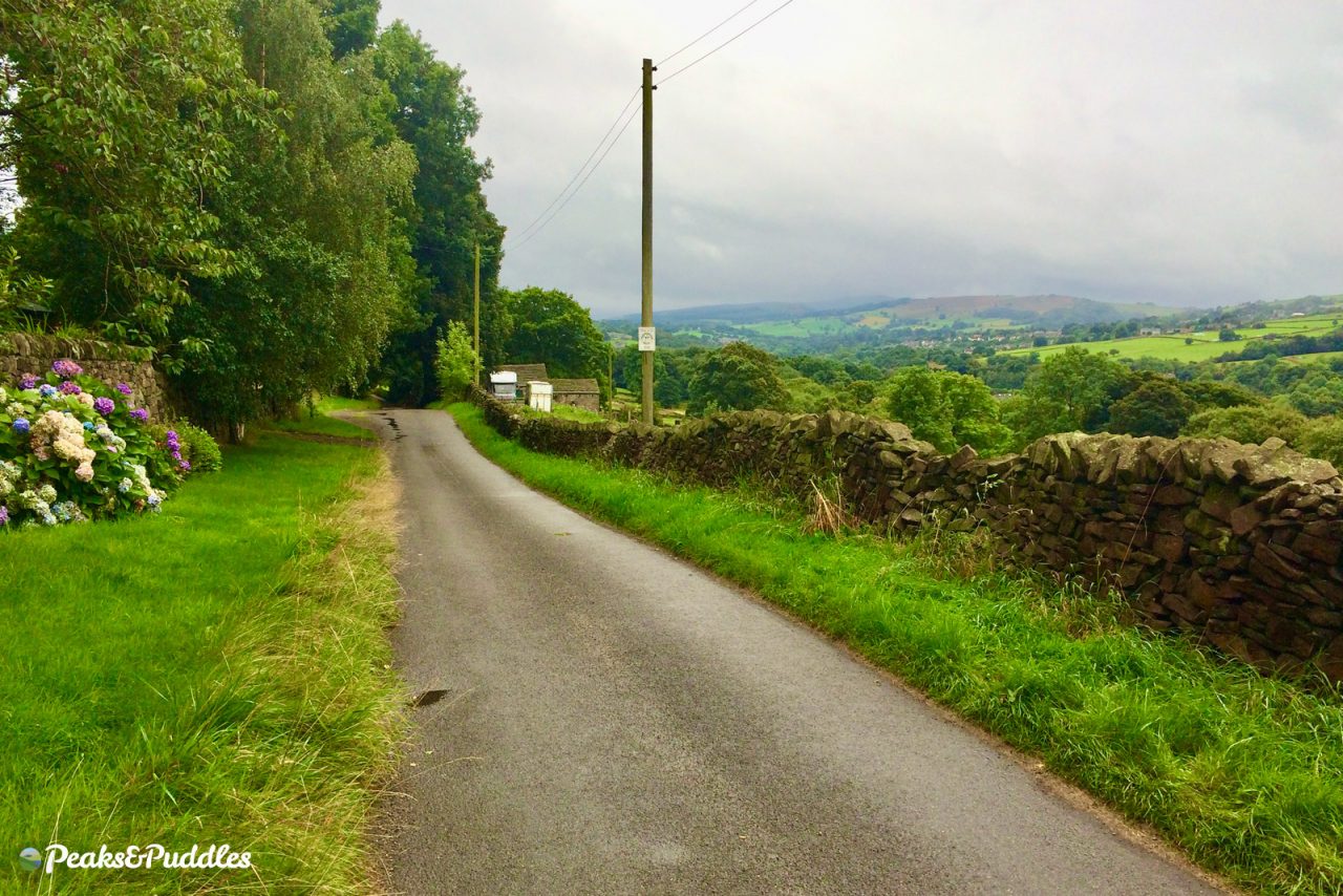
- Featured route: Buxworth Bypasses
Once surrounded by coal pits and the huge Gowhole railway sidings, the jazzily-named Dolly Lane (well hello, Dolly!) is now simply a minor lane dipping across the hillside between Buxworth and New Mills. However, it’s the perfect balance of ups and downs — and the excellent rural views — which make it shine.
Besides an excellent way to avoid some of the worst parts of the A6 for cycling, being on the other side of the valley gives you a whole new perspective on the landscape. Looking across at Furness Vale, the A6 just a distant thundering line on the hillside, everywhere seems so much more rural.
Riding it out of New Mills can seem an unforgiving slog, though. Starting from Buxworth instead gives you a sizeable hill at the start, yes, but then lovely dips and drops all the way to Marsh Lane, where you can head right into New Mills or left to join the canal.
It used to be part of Route 68, the Pennine Cycleway, on the National Cycle Network (and is still signposted as such), before Sustrans cleared up their map last year and delisted that entirely, along with other routes which didn’t suit their new criteria. Given there are no other NCN routes nearby, that seems a shame, but at least it’ll forever be on the big cycle map in our heads.
- Find on OpenStreetMap
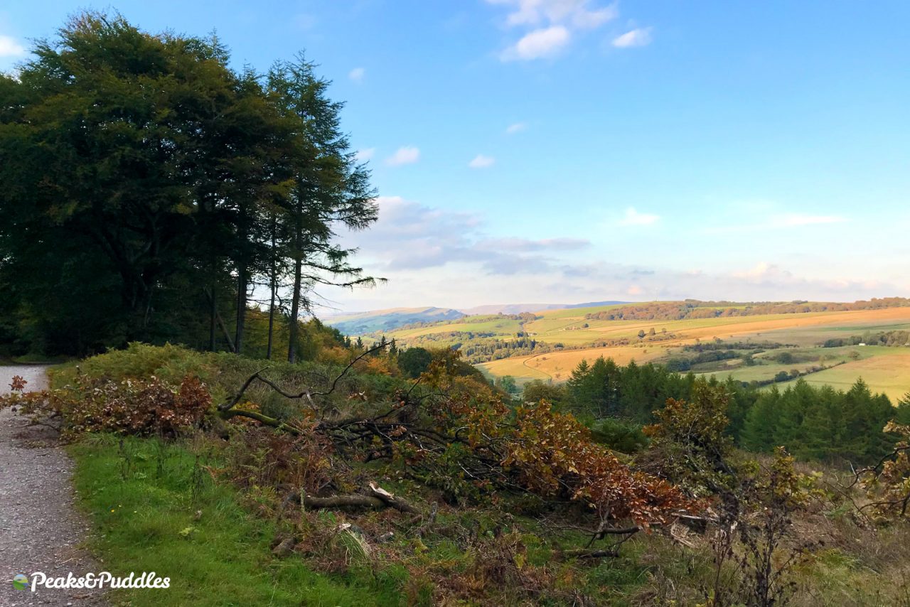
E is for… Earl Sterndale
Near the head of the Upper Dove Valley just south of Buxton, crossing the apex of the bowl which surrounds the spa town seems to lead you into a different kind of Peak entirely, where the jagged “dragon’s back” stands majestically alongside glorious empty lanes for cycling.
These rare real “peaks” of the Peak include the instantly recognisable Chrome Hill, Parkhouse Hill and the bizarre, pyramid-like High Wheeldon.
The White Peak Loop cycle route (which isn’t yet, in fact, a loop) passes through Earl Sterndale giving elevated glimpses over these beastly peaks and making for some of the most awe-inspiring riding in the National Park. I finally made it out here under my own steam last year, and it’s a wonder I didn’t pick up a billion flies for the way my jaw was permanently dropped on the handlebars.
Continuing south, following the signposted “WPL”, you can climb up and over to easily reach the more trundling railway curves of the High Peak Trail heading far off south, trans-Peak.
- Find on OpenStreetMap
F is for… Fernilee
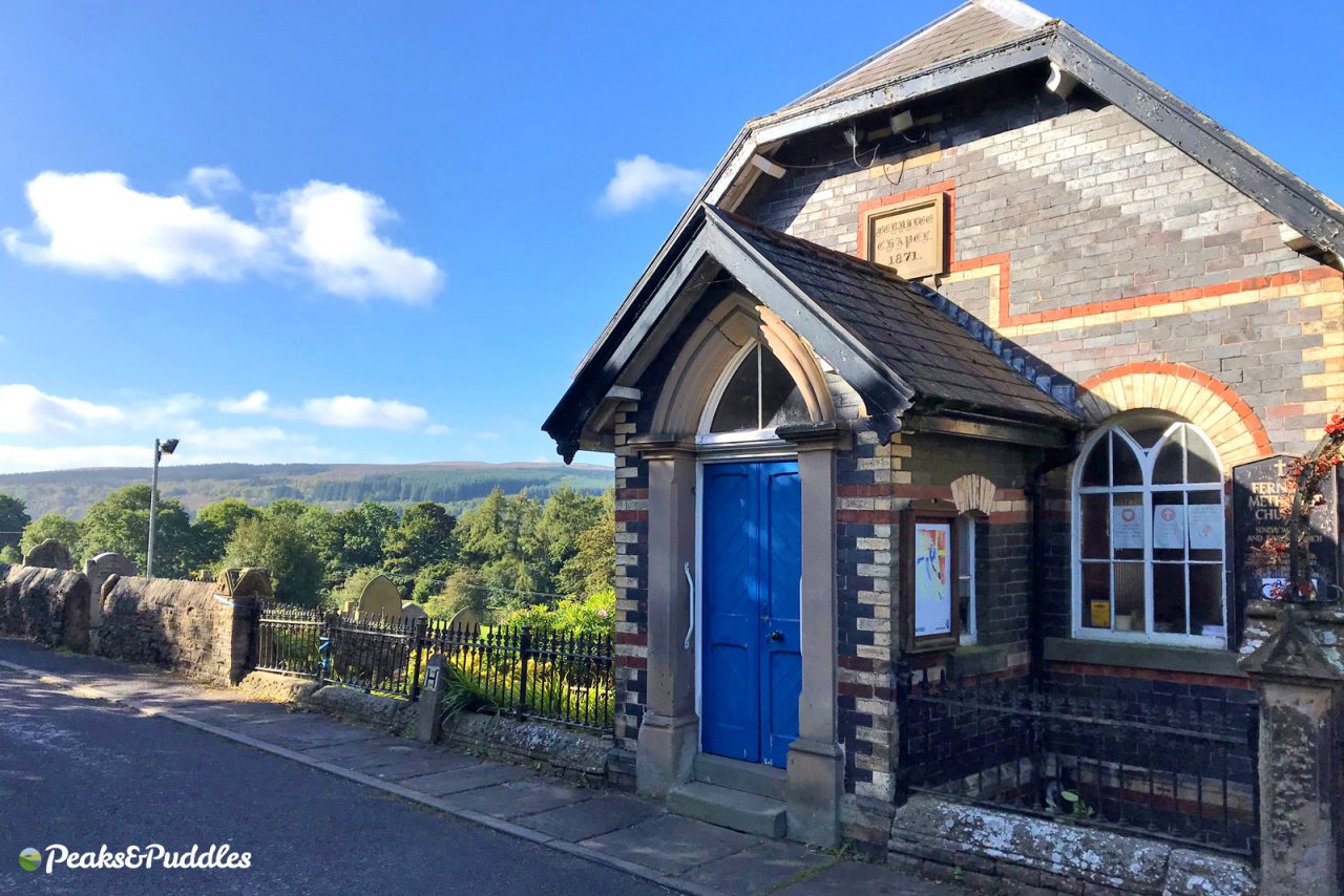
- Featured route: Goyt Valley Grinder
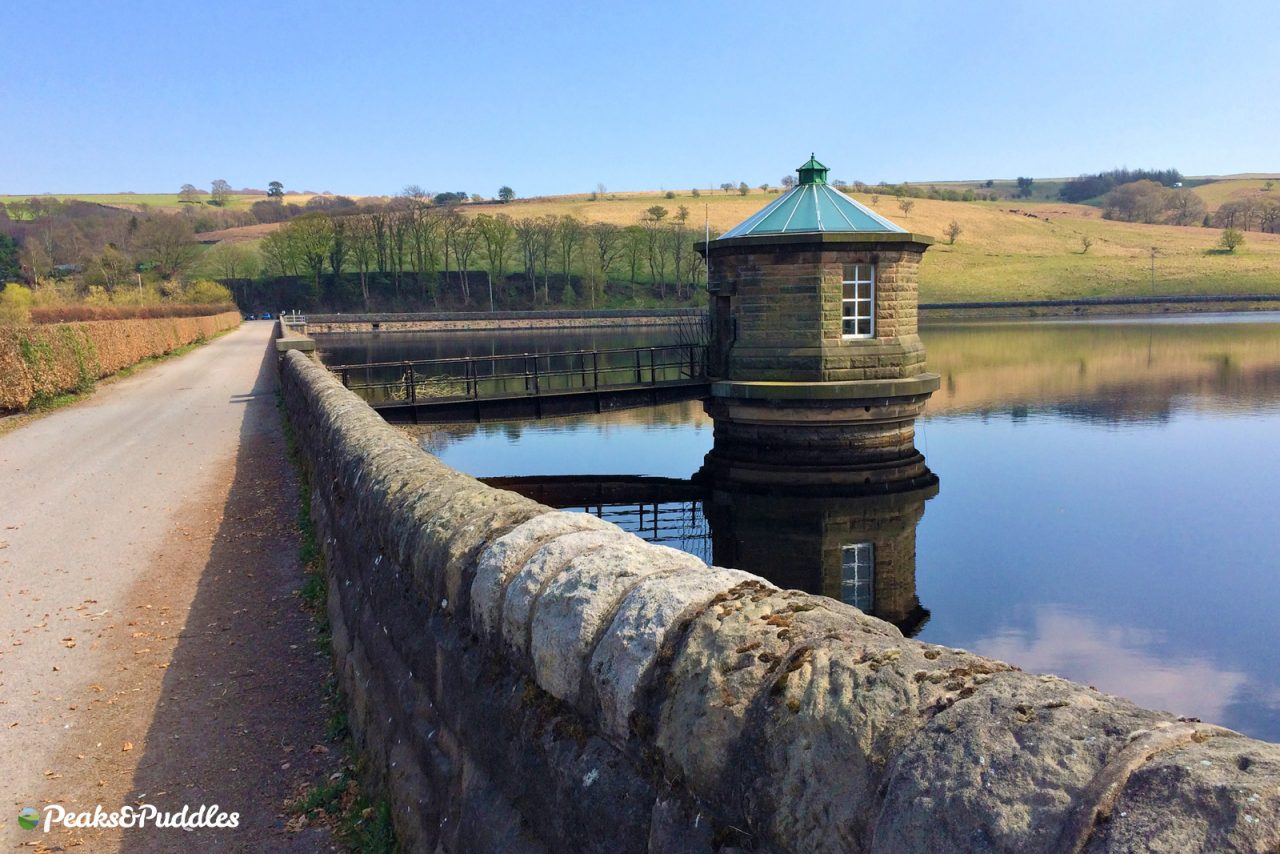
On the surface just a small hamlet of houses and a pub, Fernilee marks the exact boundary of the Peak District National Park, with exciting and challenging cycling in all directions for road, gravel and mountain biking. Following Elnor Lane or the Shallcross Incline steeply out of Whaley Bridge, you can reach this gateway to the Goyt Valley reservoirs avoiding the traffic, if not the climb, with only a short hop across the intimidating A5004 Long Hill required.
Once at the reservoir dam, you’ve two imperfect yet enjoyable routes for cycling. The first is the obvious trail straight ahead on the left, eastern side, which was once the trackbed of the Cromford and High Peak Railway (OpenStreetMap^).
This was upgraded by a Peak District group and the landowner, United Utilities, with a fresh, smooth (if a bit loose) surface not long ago, but despite constant use by cyclists the two failed to agree on (or didn’t bother thinking about) access for bikes, and so there’s a frustrating gate to navigate.
Meanwhile, the gravel fire track through the forest on the western side below Hoo Moor (OpenStreetMap^) is quite a rarity in the mostly open rolling countryside of the Peak District. The only downside is the steep, steep climb back up the side of the valley from the other side of the dam to reach it.
- Find on OpenStreetMap