Loop the majestic Ladybower, Derwent and Howden reservoirs on mostly off-road trails and minor roads, passing the famous dams and cutting through forests to an old packhorse bridge in the isolated moors of the Upper Derwent Valley.
Route details
- Distance
 15.1 miles / 24.3 km
 - Elevation Gain
 278 m / 911 ft
 - Time allow 2 ½ hours
- Difficulty
 Moderate
 - Terrain 45% Off-Road Path Traffic-free trails, towpaths & cycleways 55% Road Quieter lanes, sometimes brief busier roads 0% Unpaved Bumpier tracks & bridleways
- Suited to
 All Bikes
  Gravel Bikes
  Mountain Bikes
 - Notes Generally very good gravel paths, sometimes roughened by forestry works. Several bridleway gates.
- Suggested Start Ashopton S33 0AX SK 1951 8646
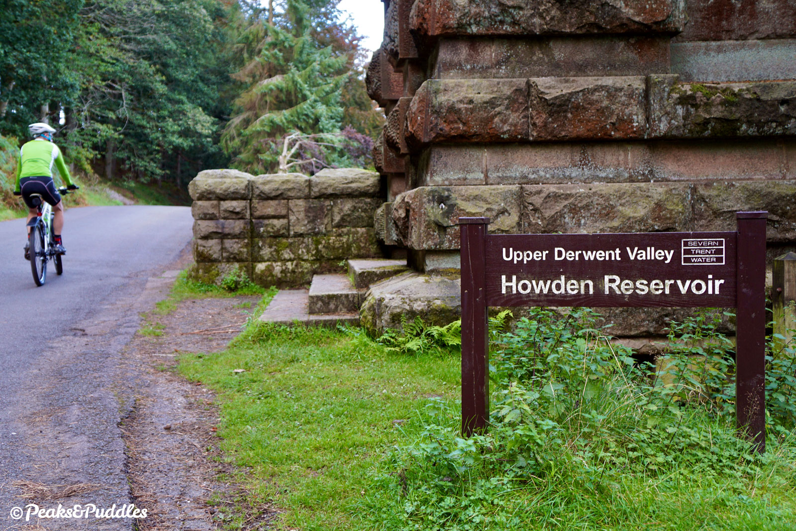
- Places Ashopton, Bamford, Derwent Reservoir, Fairholmes, Howden Reservoir, Ladybower Reservoir, Slippery Stones, Upper Derwent Valley, Yorkshire Bridge
- Attributes Bridges, Car parking, Circular loop, Cycle hire, Ideal for electric bikes, Reservoirs, Rivers, Short sharp climbs, Views of hills and peaks, Woodlands and forests
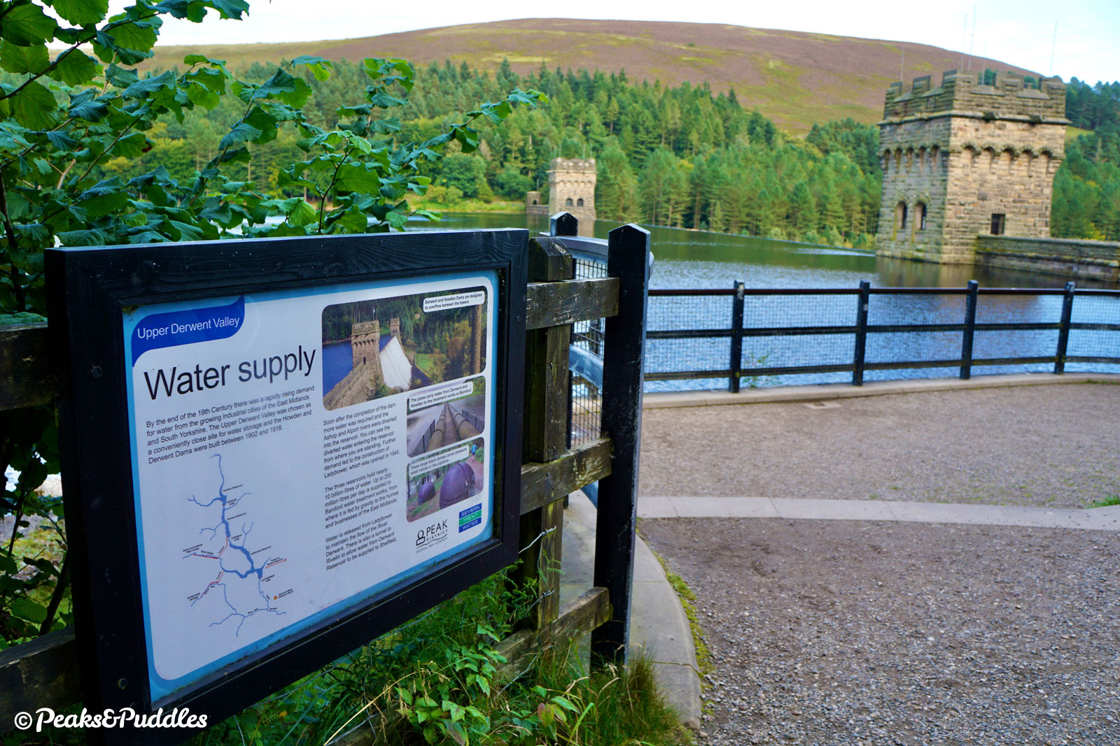
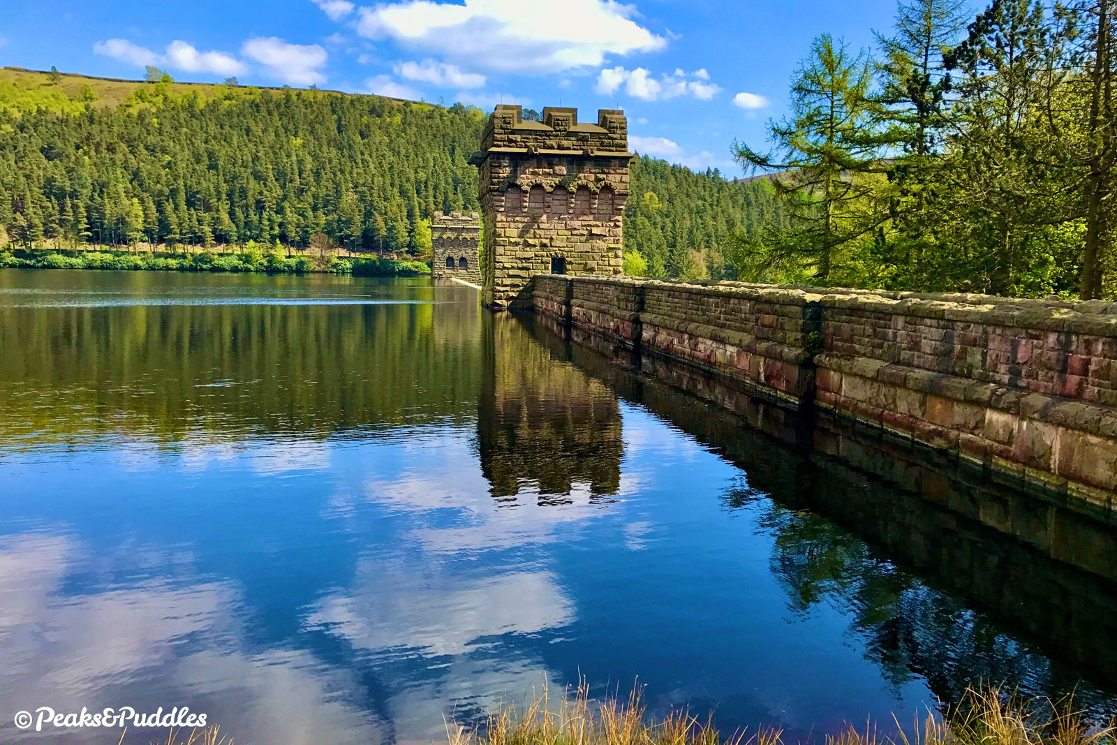
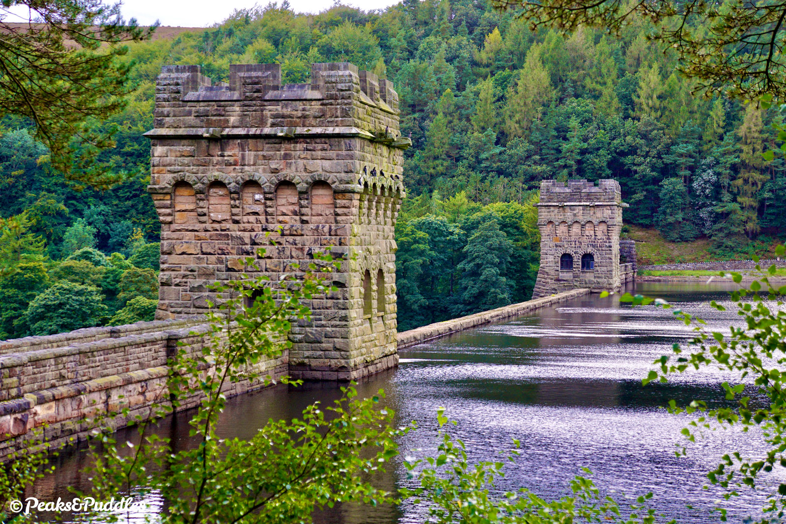
Over 100 years old, the evocative gothic towers of the Howden and Derwent dams continue to hold back the waters like castle ramparts seeing off a siege. But to satisfy the needs of people and industry in the cities of Sheffield and the East Midlands, they weren’t enough.
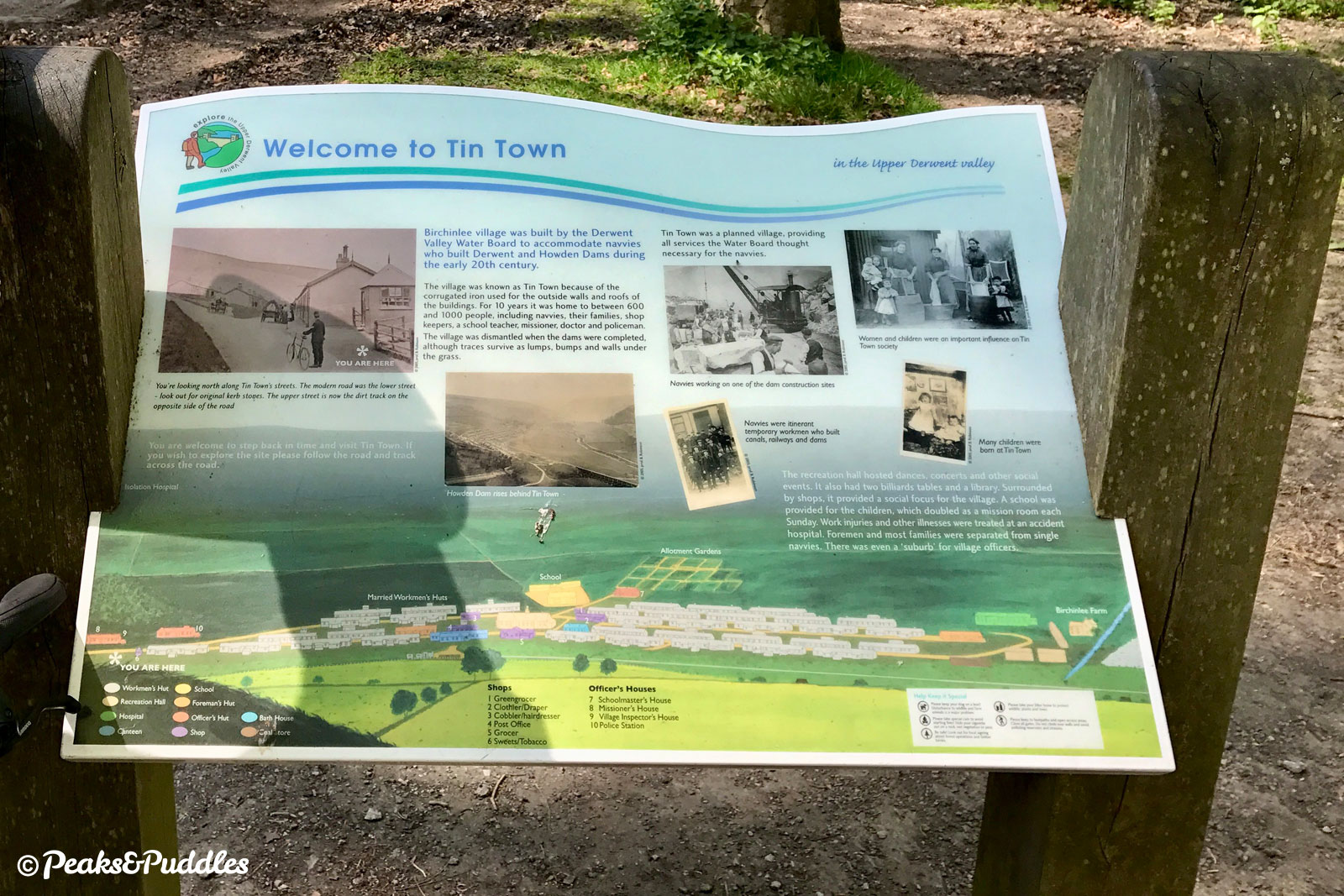
The initial reservoirs had been built between 1901 and 1916, in the Derwent valley chosen for its depth, narrowness and access to gritstone; perfect for dam-building. A 7-mile railway from the mainline at Bamford brought workers and materials to the construction site, with its own “Tin Town” of corrugated iron huts creating a temporary village at Birchinlee.
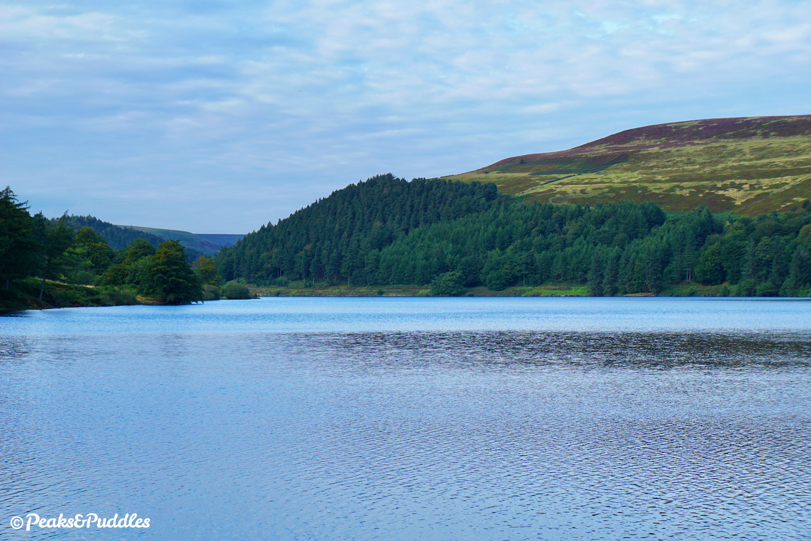
Laid with 5 tonne stone blocks at their core, the solid masonry dams were then sealed with cement and finished with their attractive stone outer layer. Yet it’s the third, lower reservoir which is most named today: Ladybower. Perhaps because it was the largest built in Britain at the time, but also the most controversial.
Flooding this part of the valley would submerge the villages of Derwent and Ashopton, and require huge new road bridges to be built over the water, but in 1935 work began. Residents were re-housed, many to new houses just south of the dam, while graves in Derwent churchyard were exhumed and reburied in Bamford.
Unlike the fanciful stone dams further north, Ladybower is a more conspicuous clay-cored embankment, though with deep concrete cut-off trenches stretching into the ground and hills either side. Remarkably, due to its national importance, construction continued throughout the Second World War, albeit with completion delayed to 1943, and the reservoir finally filled and opened by King George VI in 1945.
The war, of course, gave the reservoirs another lasting claim to fame: the Dambusters. With plans to launch the deadly Upkeep “bouncing bomb” on dams in the Ruhr valley of Germany, the RAF 617 Squadron used the Derwent dams on practice missions to trial flying just 18 metres above the water’s surface.
Derwent’s gothic stone towers were even eerily similar to those of the Möhne reservoir dam, which was eventually hit in the daring “dam busters” raids, known officially as Operation Chastise. Though the damage and catastrophic flooding succeeded in briefly setting back steel production and water supplies for the Nazi war effort, an estimated 1,600 civilians lost their lives, along with 53 aircrew.
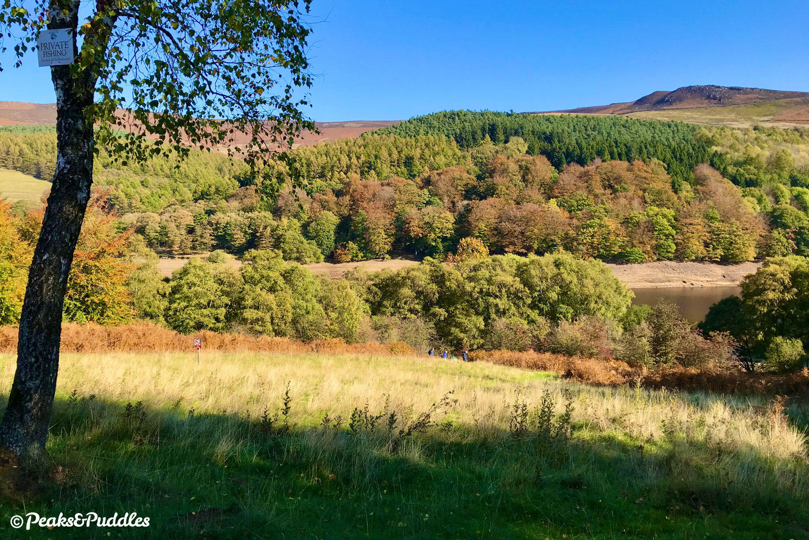
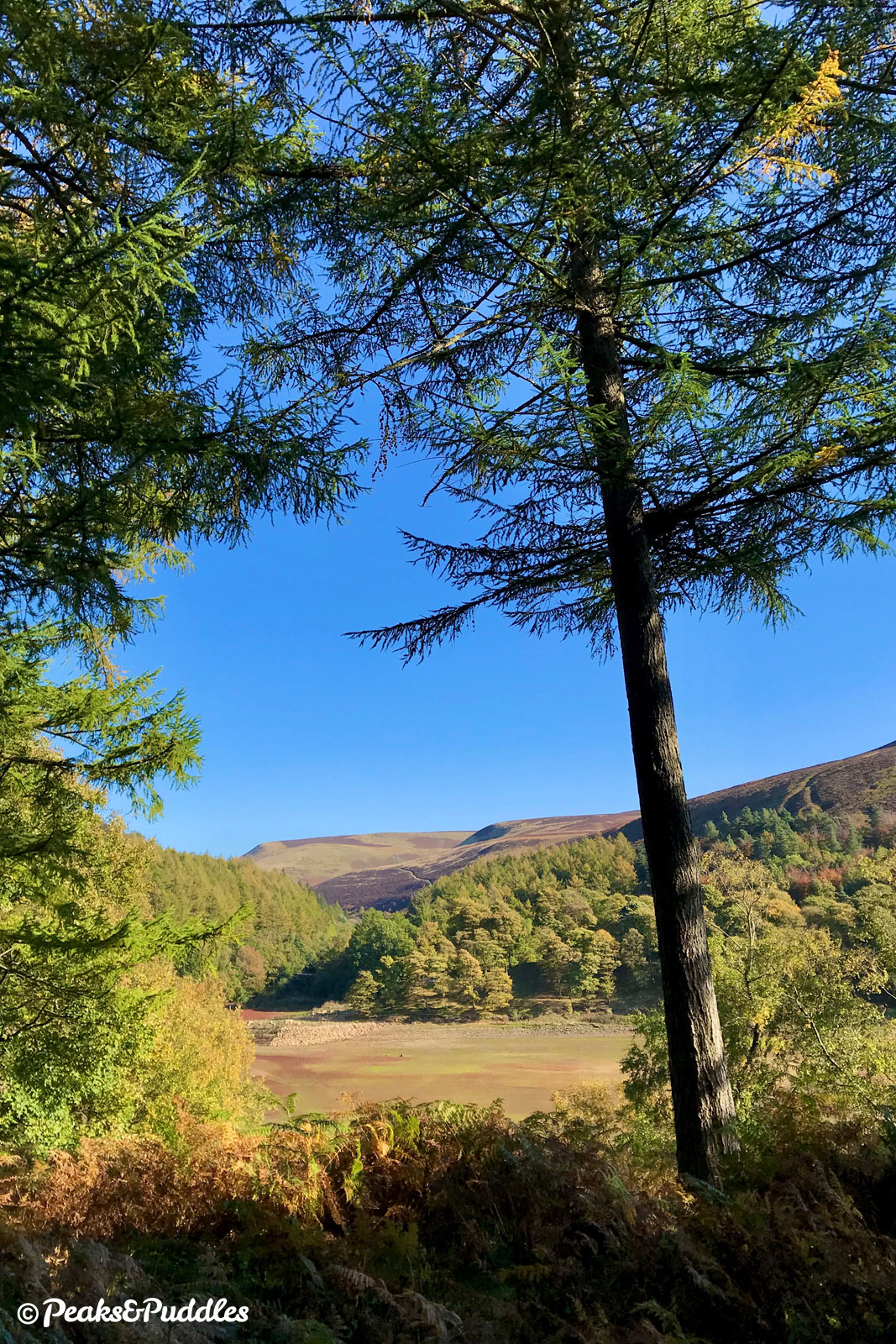
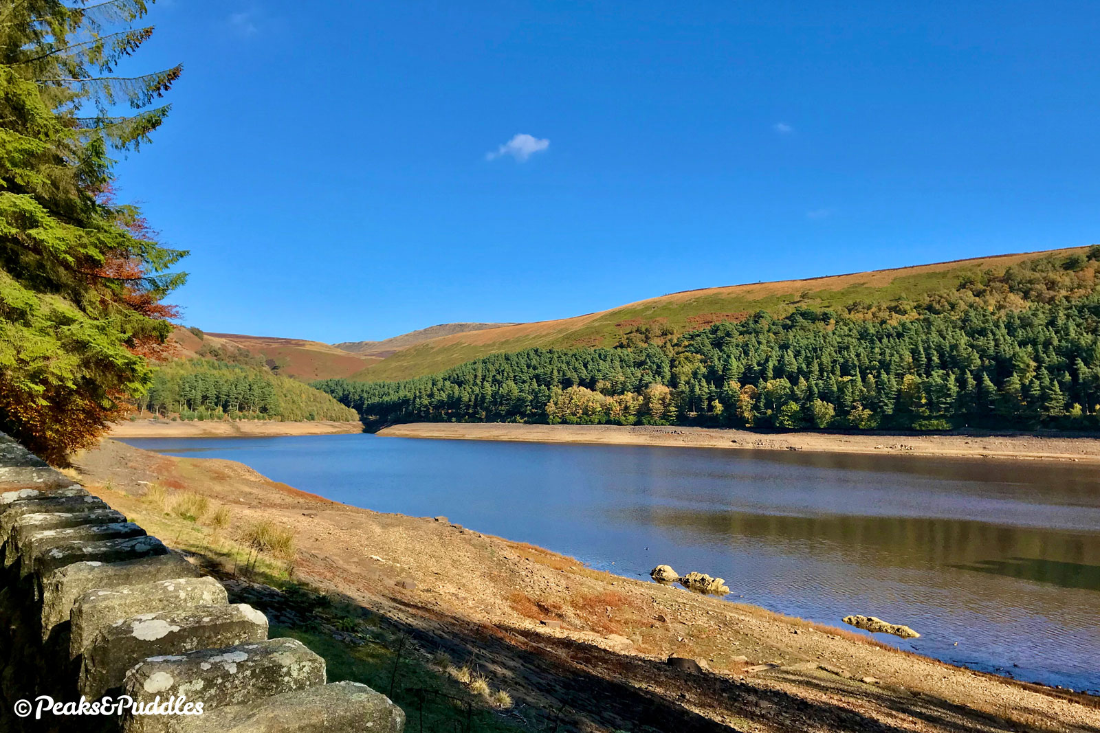
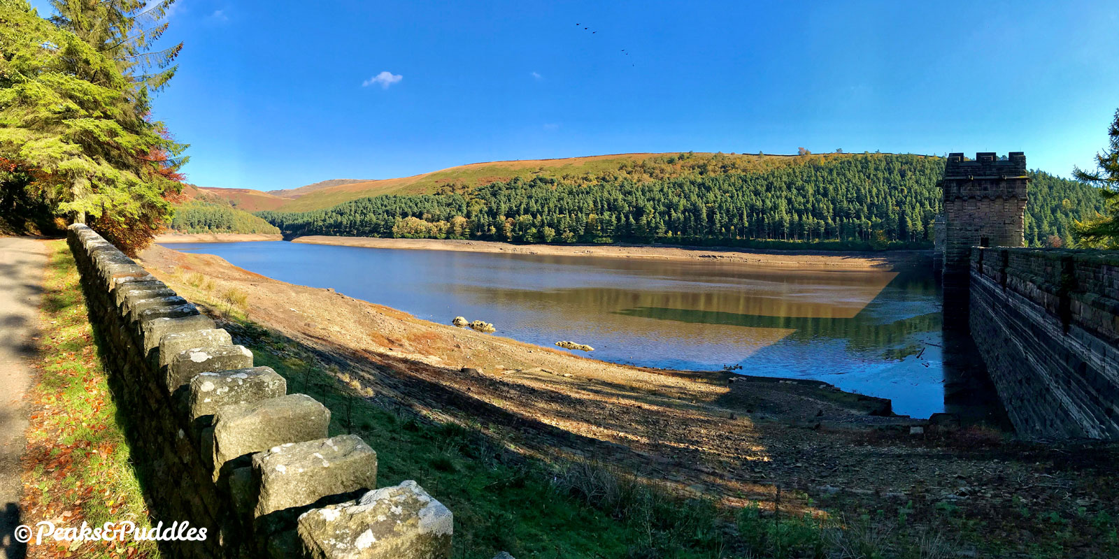
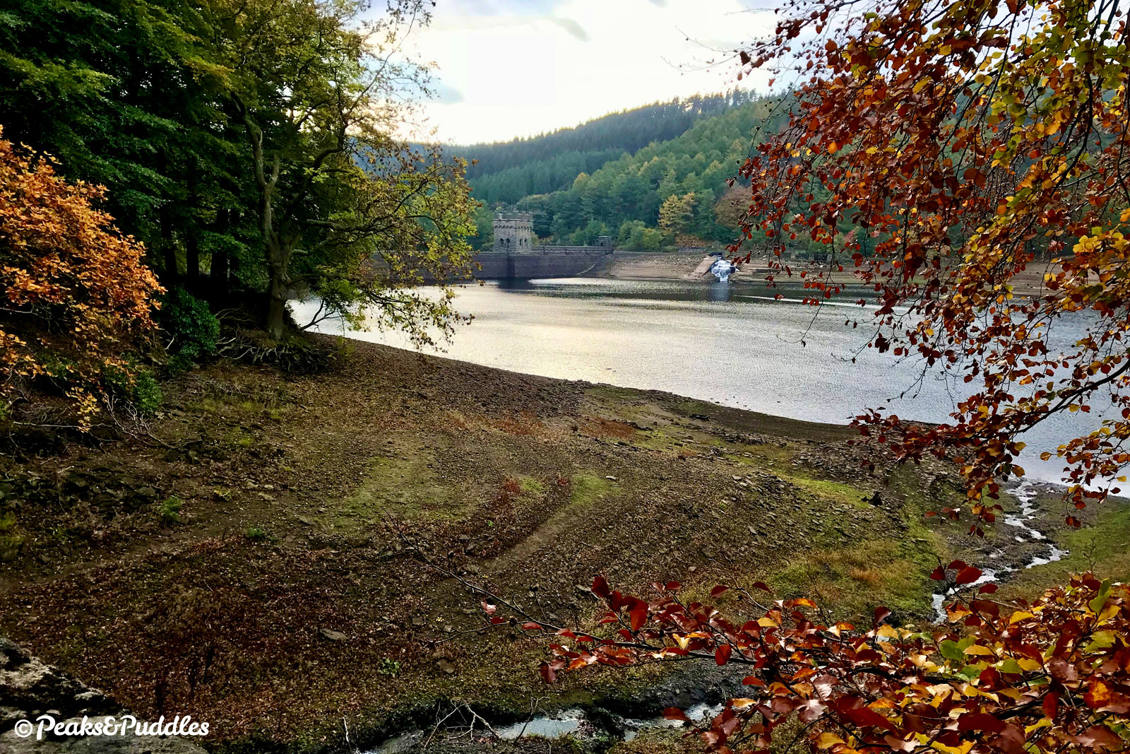
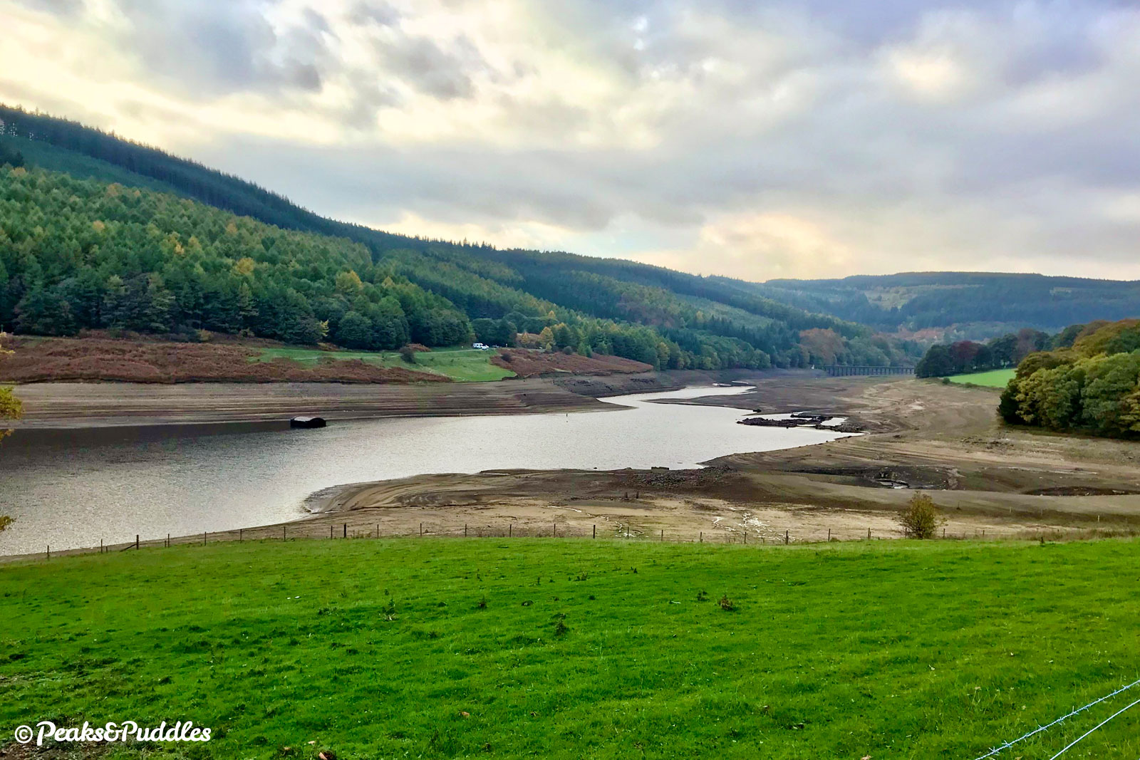
Today, the valley is just as famous for its low waters, when remnants of the Derwent villages are hauntingly visible on the bed of Ladybower Reservoir. The village’s church tower had originally been left intact, but was blown up in 1947 when low water levels first hit and it was deemed a hazard.
A more consistent tide has been the flood of visitors to the area — estimated around 2 million per year — drawn by the Peak District’s largest body of water, its surrounding woodlands and moors, myriad of pathways and easy road access from neighbouring cities.
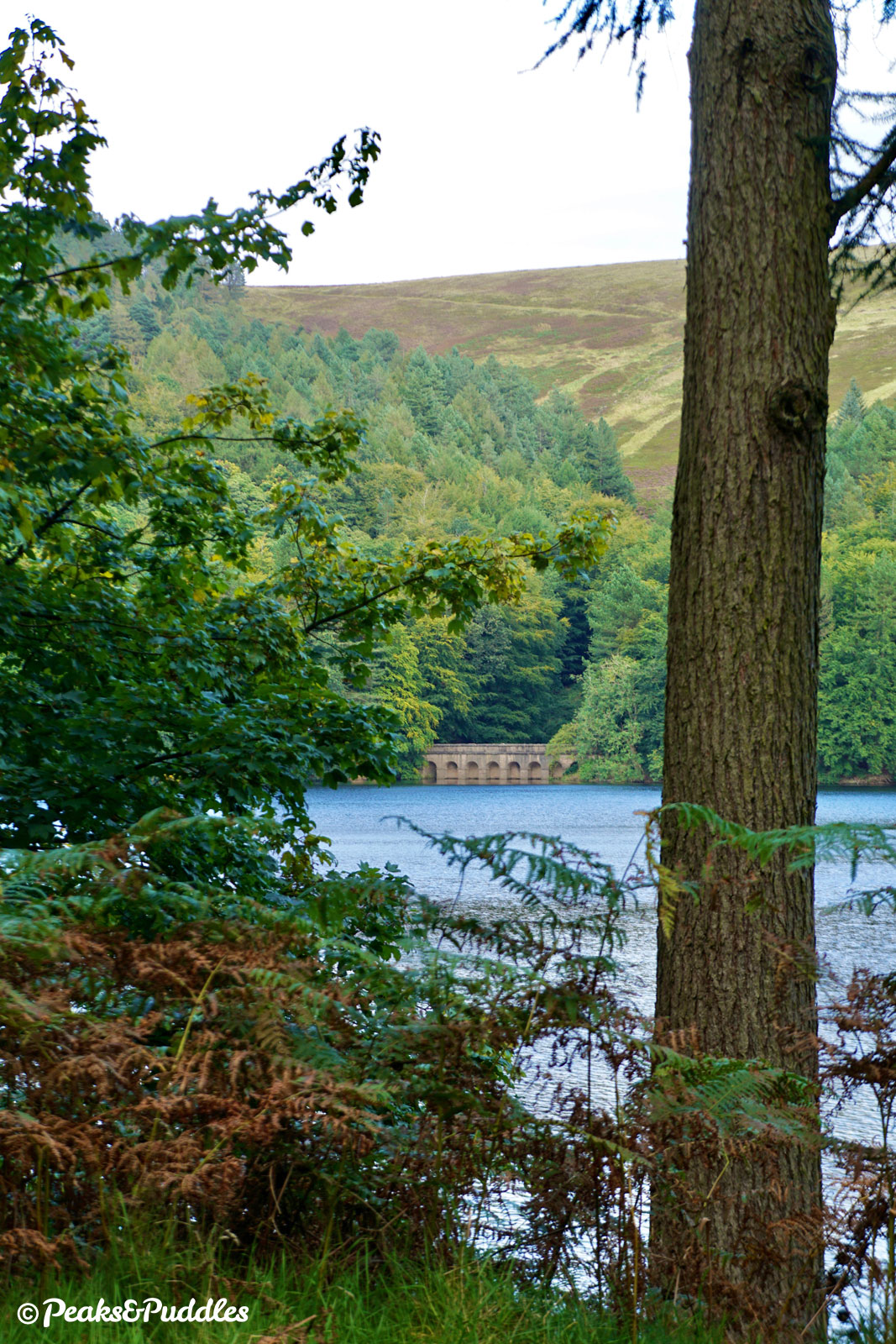
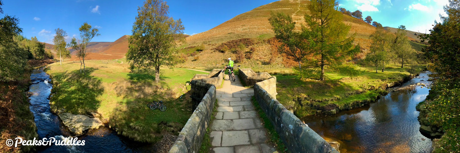
One nearly-submerged piece of village life is visible to those visitors year-round: the 17th Century packhorse bridge, which was taken apart and moved stone-by-stone to sit at Slippery Stones, where it now allows us to cross the head of Howden Reservoir and complete a loop of this truly special valley.
Route map
Where to start
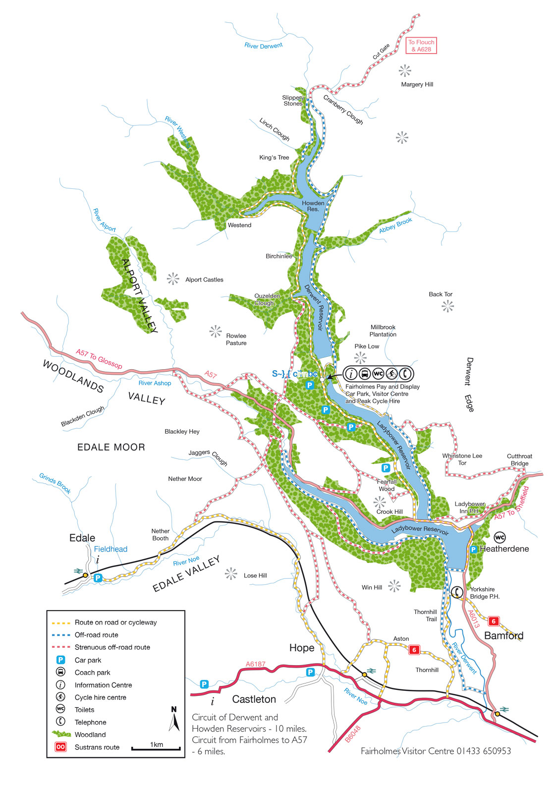
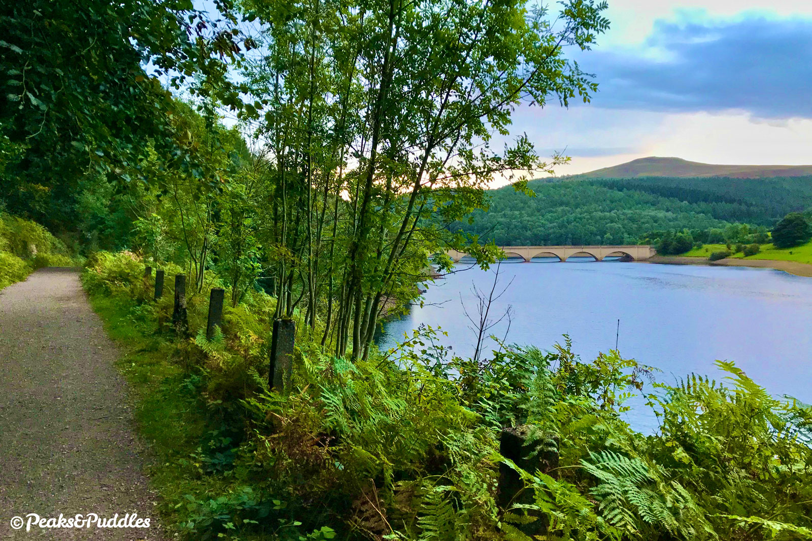
The Ashopton Viaduct is the gateway to the Upper Derwent Valley, carrying the busy, narrow and twisting A57 Snake Pass road over Ladybower Reservoir. Luckily it has a large shared pavement space, linking with others heading up the valley from Bamford, which is the best place to link in by bike.
As well as the Thornhill Trail described below, National Cycle Network Route 6 crosses the valley at Yorkshire Bridge, linking (rather strenuously) from Castleton, Hope and Sheffield.
By train: Bamford railway station is quite close to the Upper Derwent Valley, but still a couple of miles south of the Ladybower Dam. There is, however, a good link up the valley thanks to the Thornhill Trail, which occupies the line of the railway used to build the reservoirs themselves. Follow Station Road briefly north from the station, then turn left into Water Lane to pick up the trail. After walking over the Ladybower Dam, there’s a good shared foot/cycleway along the A6013 and A57 to the Ashopton Viaduct and the start of this route.
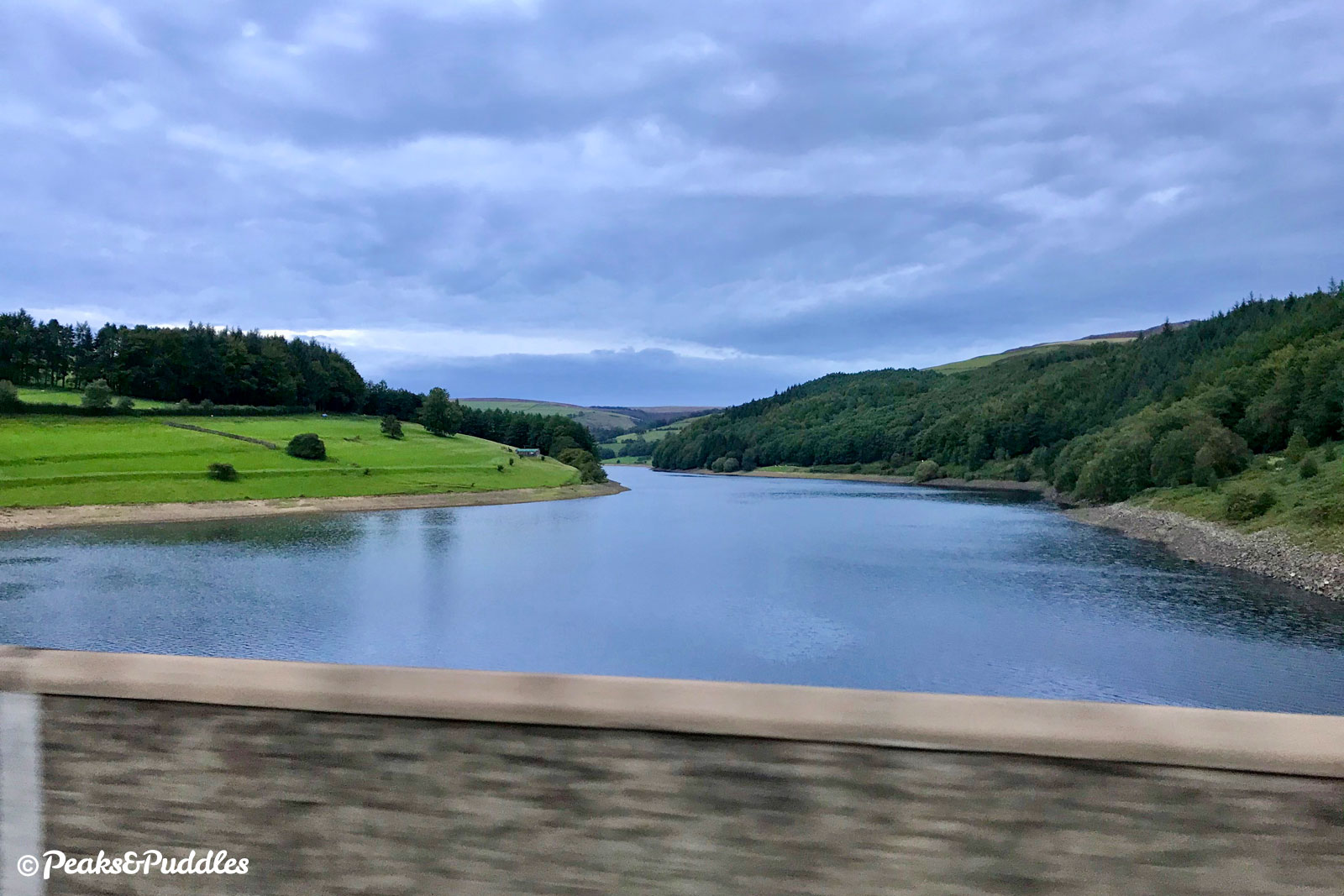
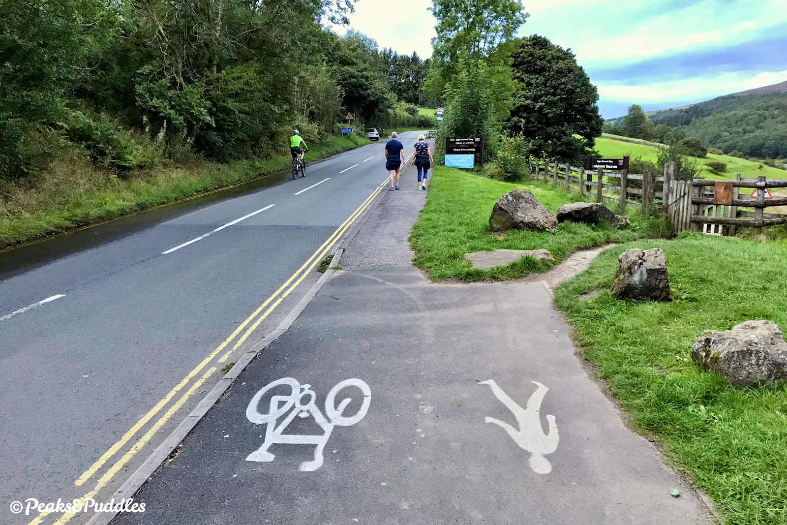
By car: Fairholmes Car Park is the main pay parking base operated by Severn Trent Water, 2 miles north off the A57 at Ashopton. Before you reach it, there are a few other smaller Peak District operated spots along the same minor road: Bridge End Car Park, Hagg Side Car Park and Derwent Overlook Car Park, all pay parking. Heatherdene Car Park on the other side of Ladybower Reservoir provides more pay parking overspill and is linked by an off-road foot/cycleway to the Ashopton Viaduct. There are also a few free (but heavily prized) lay-bys on both the minor road to Fairholmes, the A57 and the A6013, though the latter two are rather unpleasant for unloading bikes beside thundering traffic.
Cycle hire: The Peak District National Park’s Derwent Bike Hire Centre is based at the Fairholmes visitor centre near the Derwent Dam. Unfortunately there’s no bus service out here except for when the Hope Valley Explorer service is running on selected dates in summer. See more Peak District Cycle Hire tips.
Things to note
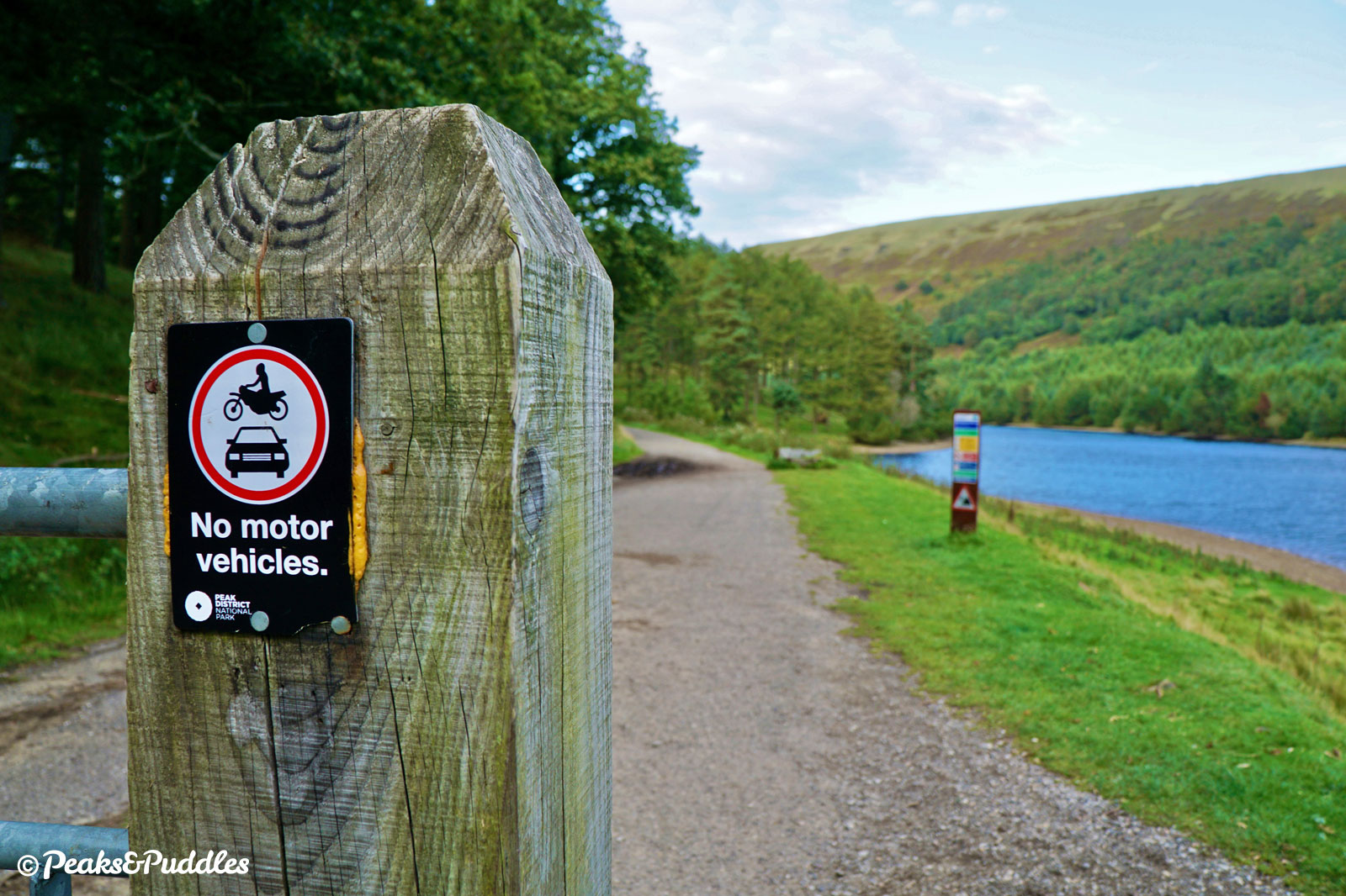
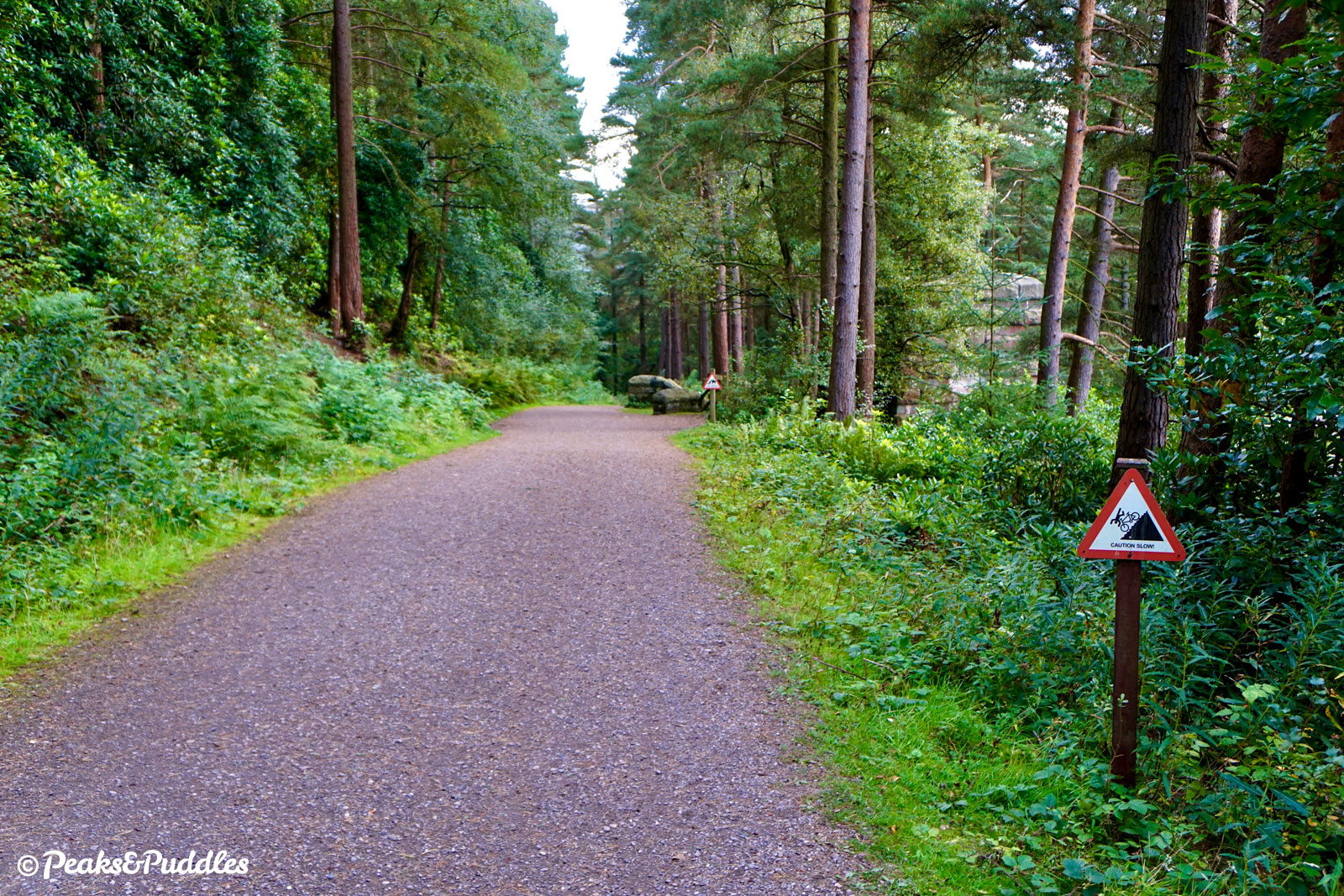
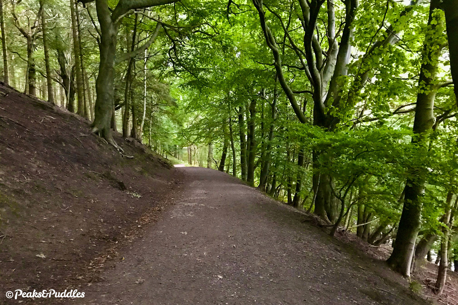
- This loop uses a mixture of sealed tarmac roads and off-road paths, which vary in surface type. Though mostly compacted stone similar to other trails, it’s slightly bumpier in places and can be a little puddled after wet weather. The bumpiest section is now between King’s Tree and Slippery Stone, just as the trail heads off-road. After Slippery Stones, recent resurfacing has smoothed the path considerably. Depending on your tolerance, you might even now find it doable on a standard bike with sensible touring tyres, but it’s still far better suited to gravel bikes and hardier.
- For some inexplicable reason, no-one has thought to properly complete the loop with an off-road cycle path on the western side of Ladybower Reservoir, north of the Ashopton Viaduct, so this section has to be tackled on the minor road, amongst traffic heading to the main visitor centre. It’s not the worst road but it is surprisingly long, can be busy at peak times and seems to invite some fast driving. Derbyshire County Council, Peak District National Park and Severn Trent Water really should work together on an off-road alternative.
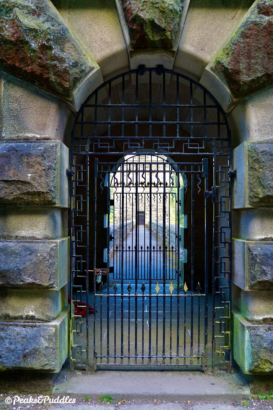
- It’s possible to adjust the route using a lane which drops down to cross in front of the Derwent Dam, perhaps cutting out that on-road section alongside Ladybower Reservoir (see ‘Other route options’). Do note that the Howden Dam further north has no public access across, so the Derwent and Howden reservoirs can only be completed as one loop.
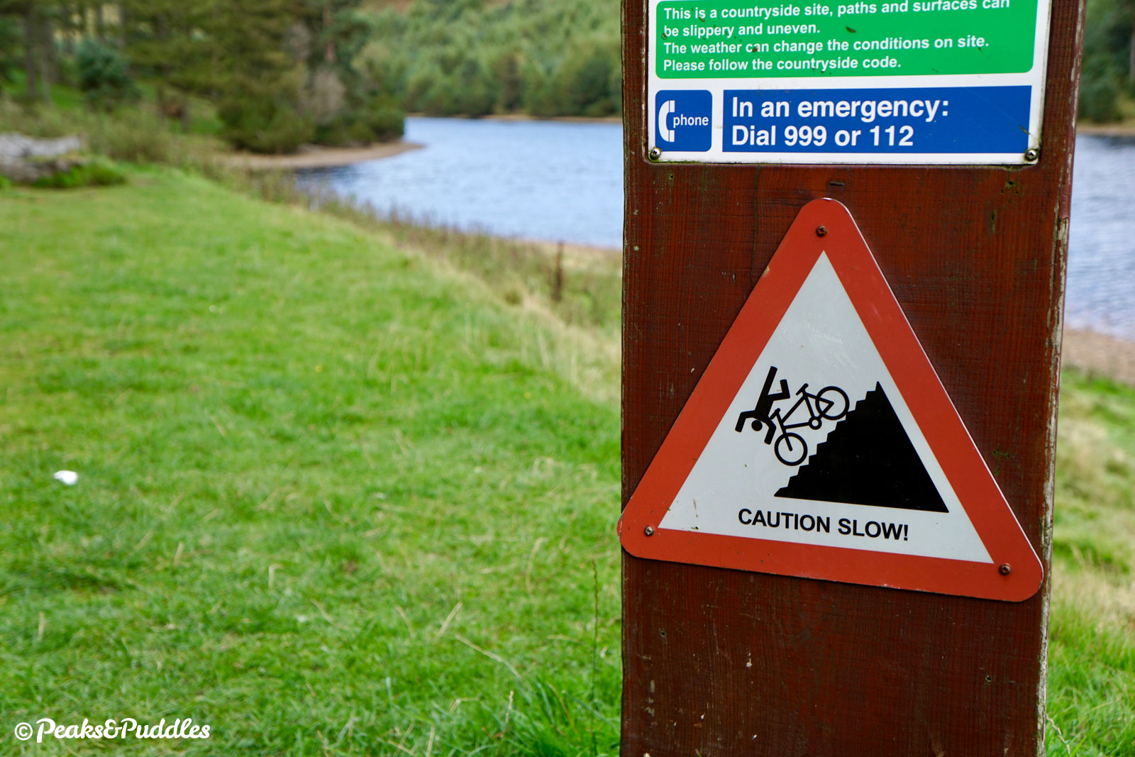
- If you can, avoid riding at peak middle-of-the-day times on weekends and bank holidays. The road into Fairholmes gets very busy with traffic and drivers desperately looking for parking spots, and the trails become busier and less enjoyable to ride too. Visitors begin to vanish almost completely come 5pm and the area is far quieter throughout weekdays, too. On long summer evenings, it’s a blissful place to be.
- Toilets: next to the visitor centre at Fairholmes.
Route stage-by-stage
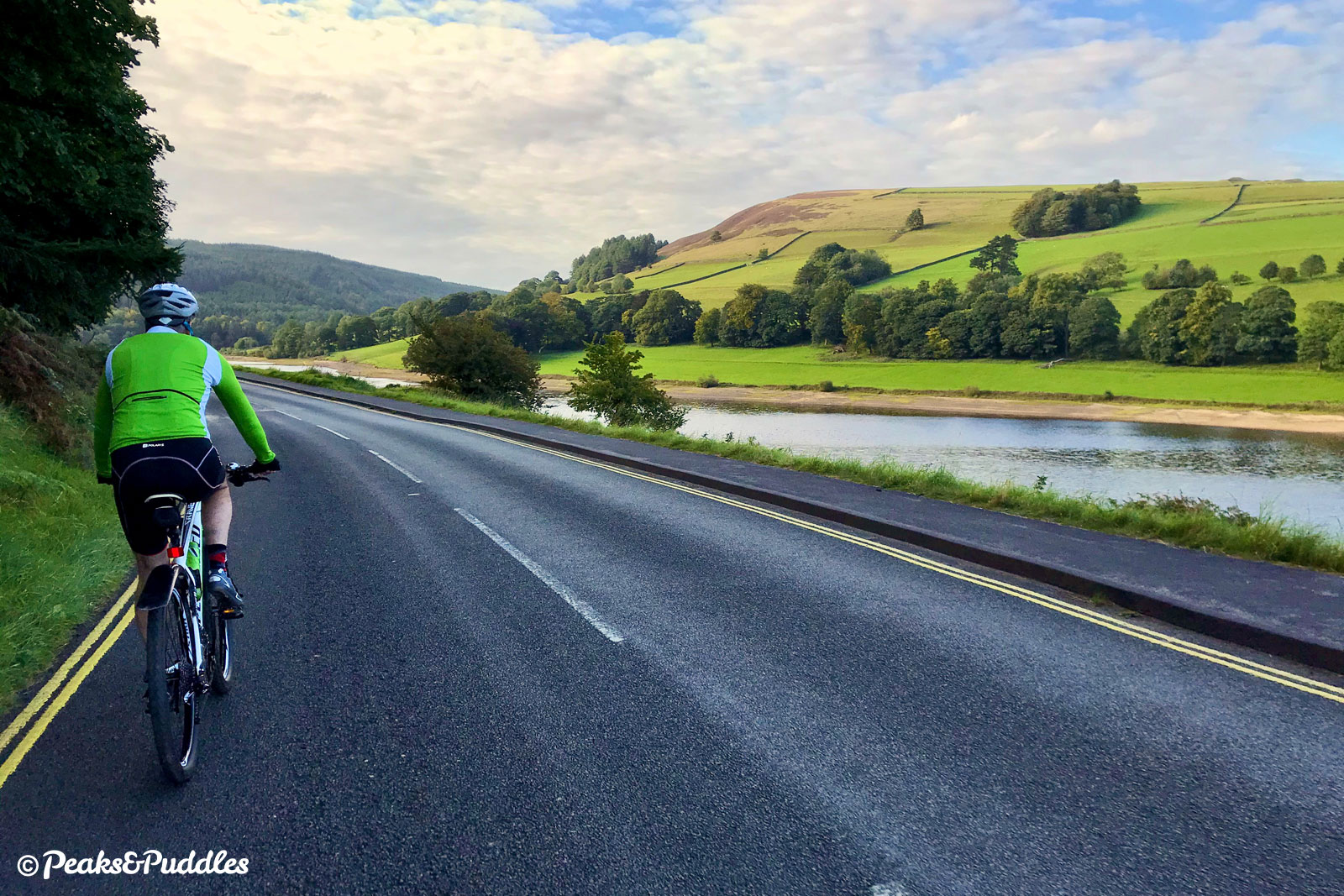
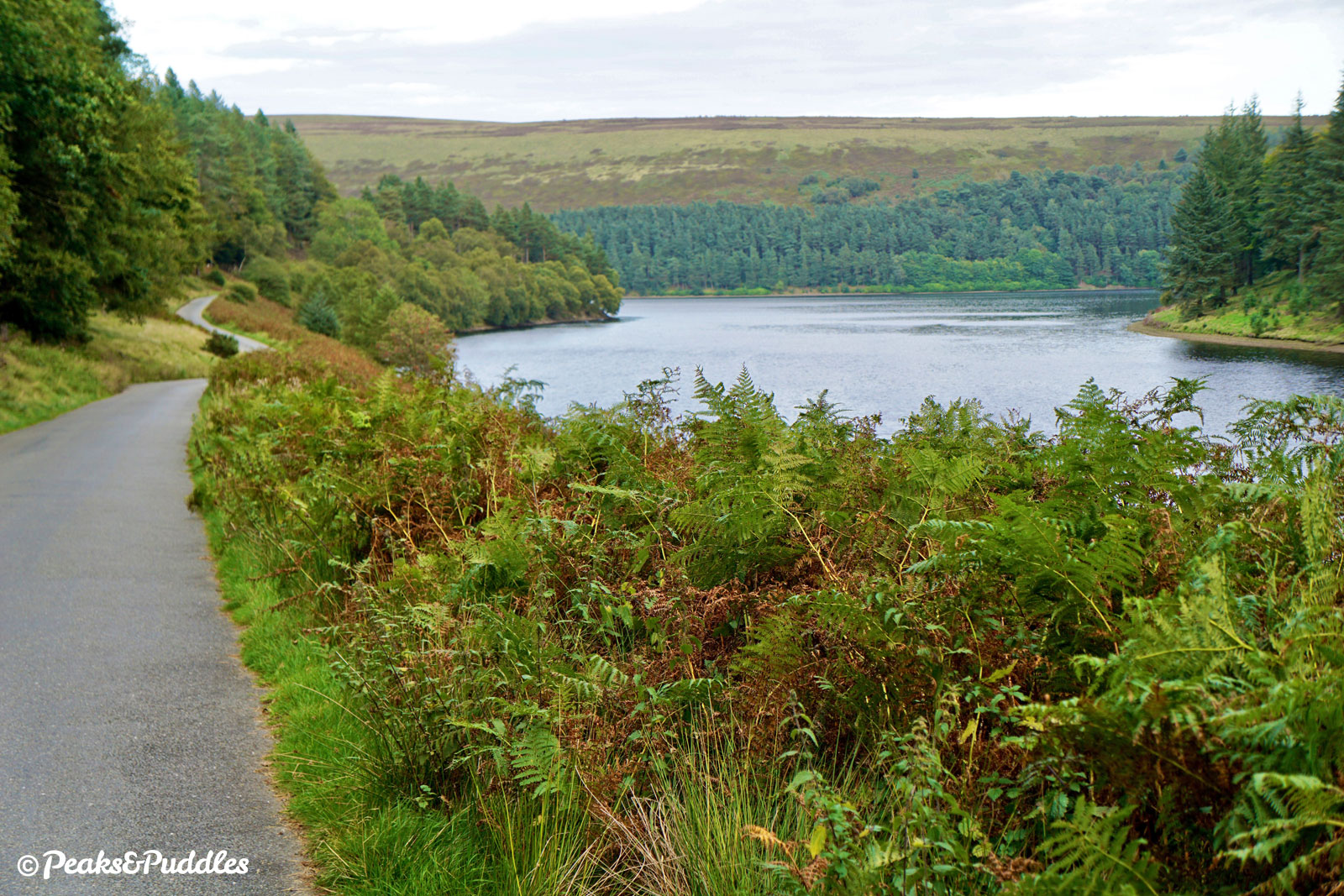
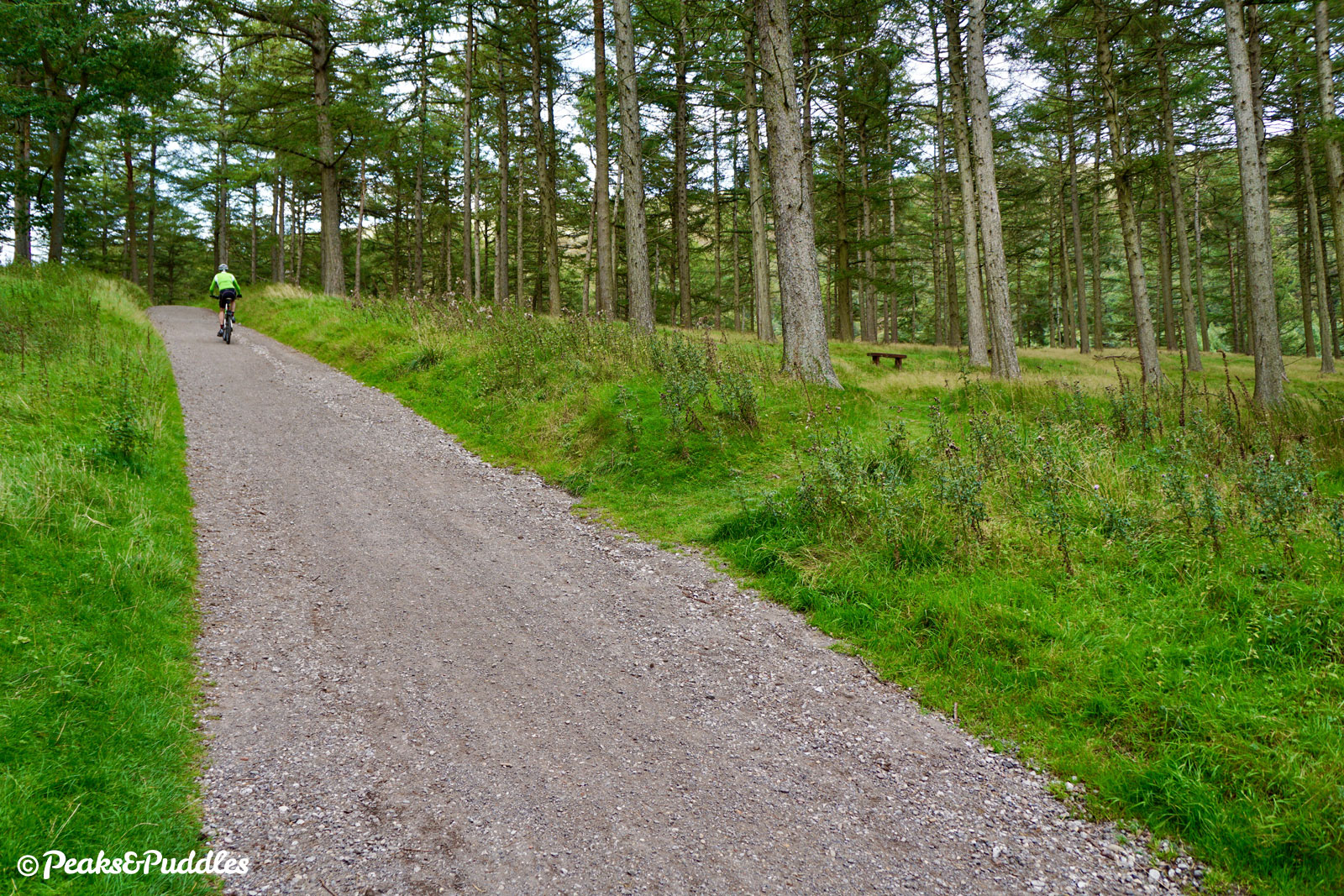
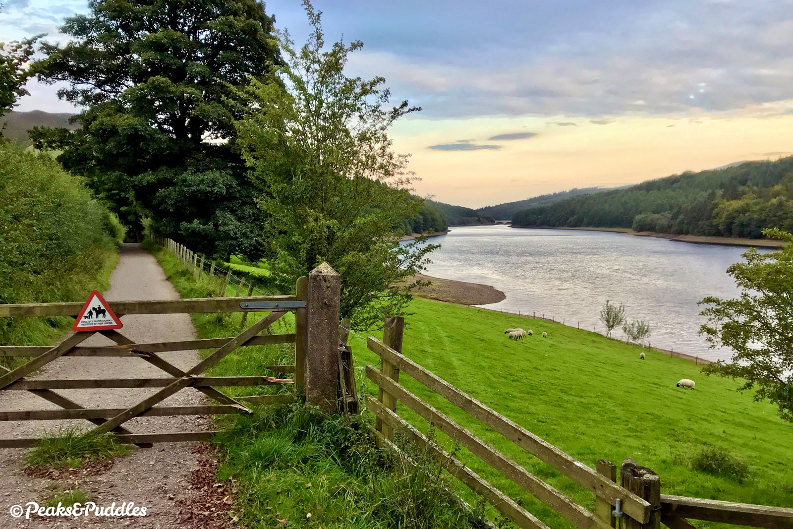
- Cross the Ashopton Viaduct using the shared foot/cycleway on the northern side, above the deep waters of Ladybower Reservoir. At the other side, the path continues slightly into the main Upper Derwent Valley access road, but then spits you out unceremoniously with a dropped kerb. Neither the pavement beyond here nor the footpath below have cycle access, so join the road and begin a short initial climb. Crossing a cattle grid, the road curves up the hillside, ever higher above the reservoir.
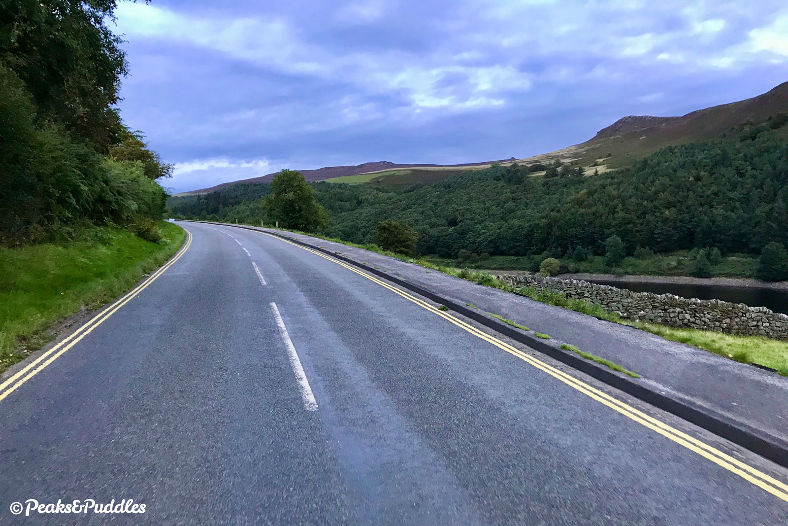
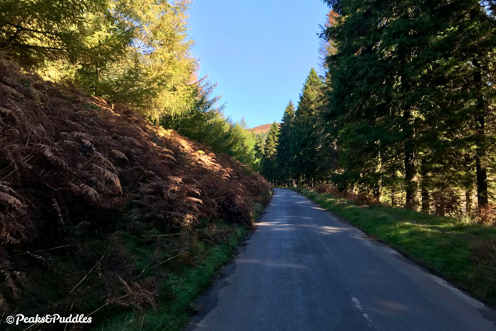
- Beyond a bus lay-by, the road thankfully switches tack and begins a graceful descent through Fearfall Wood, though there are further undulations alongside Lee Wood and out onto a wide open vantage looking across the reservoir. On the left, just before Bridge End car park, is Derwent Woodlands War Memorial, commemorated in the 1920s after the First World War but moved here in the 1940s as the village below was submerged. Following the road back into the trees, it continues mostly downhill past Derwent Overlook car park.
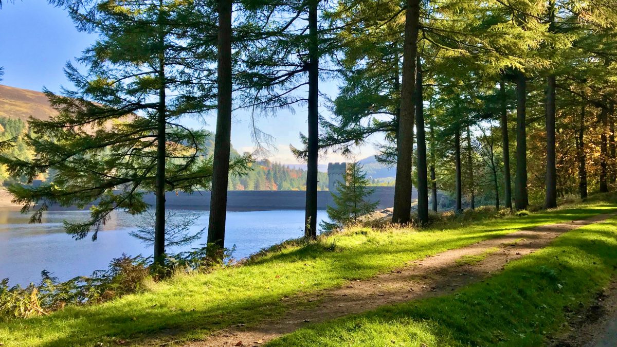
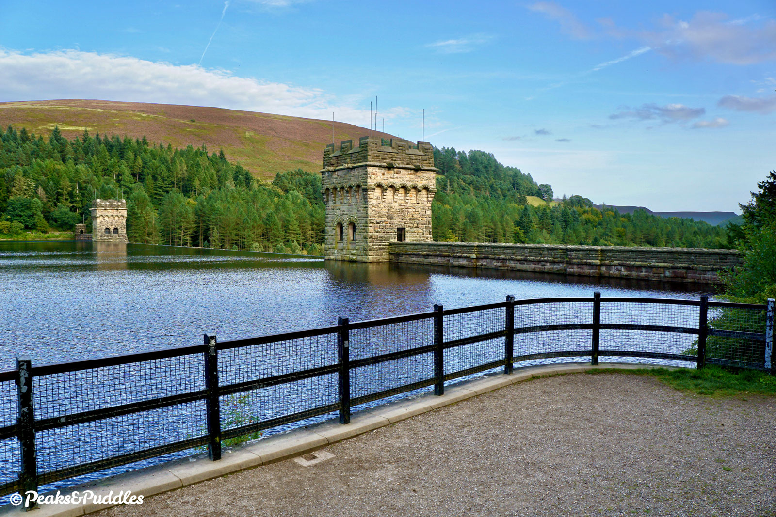
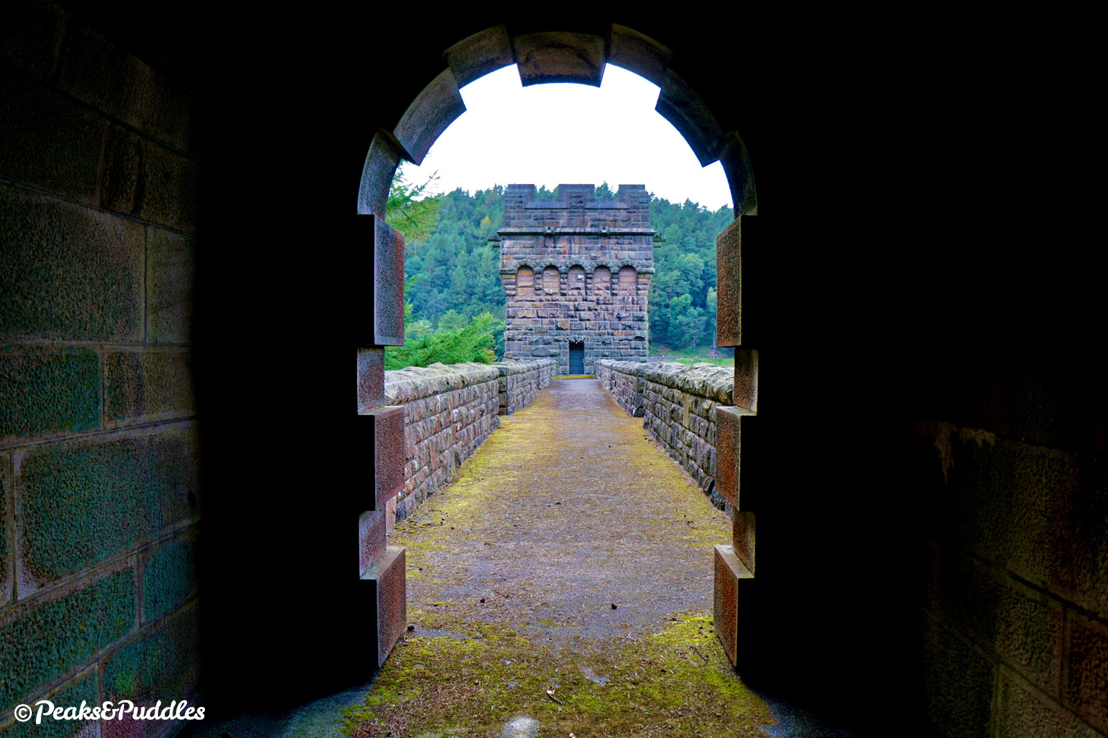
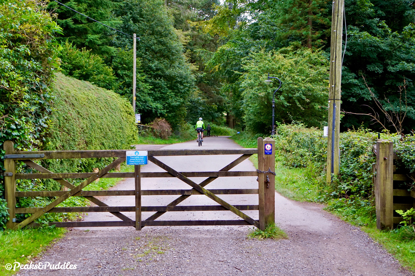
- Fairholmes, the main visitor centre and bike hire serving the valley is soon approached. At the small roundabout, continue straight ahead through the gate, passing the “road closed” signs which prevent most drivers from continuing further on this narrow road at certain times. The lane immediately begins a very noticeable ascent to meet the side of the Derwent Dam.
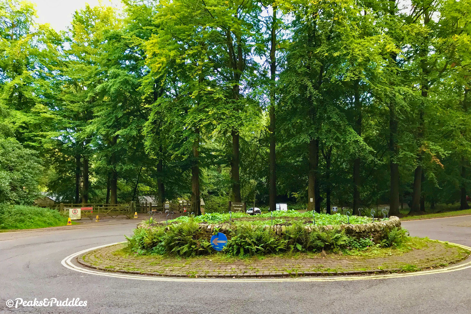

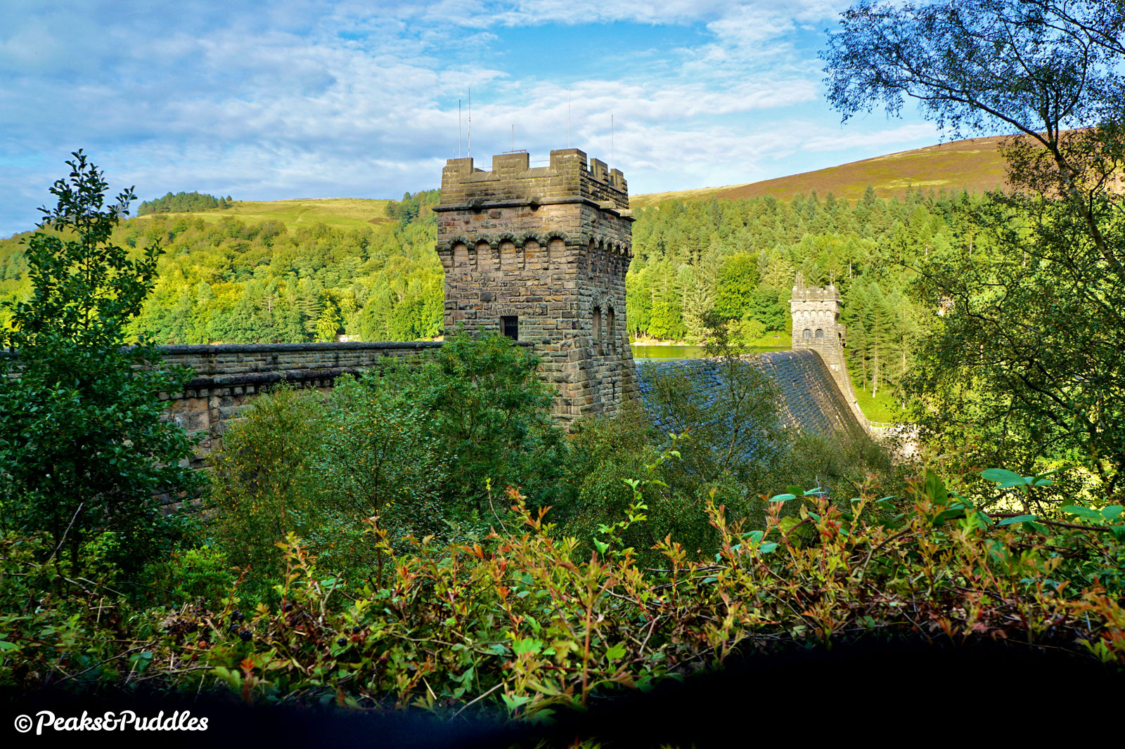
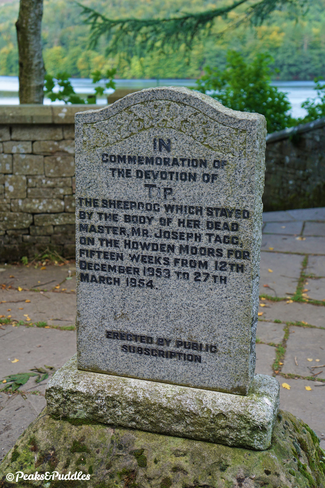
- Alongside the impressive gothic towers of the dam wall, there’s a large viewpoint over the Derwent Reservoir. A little further along, the poignant stone is a Memorial to Tip, the Sheepdog whose owner Joseph Tagg perished on the moors above and who stayed alongside him for fifteen weeks in the 1950s.
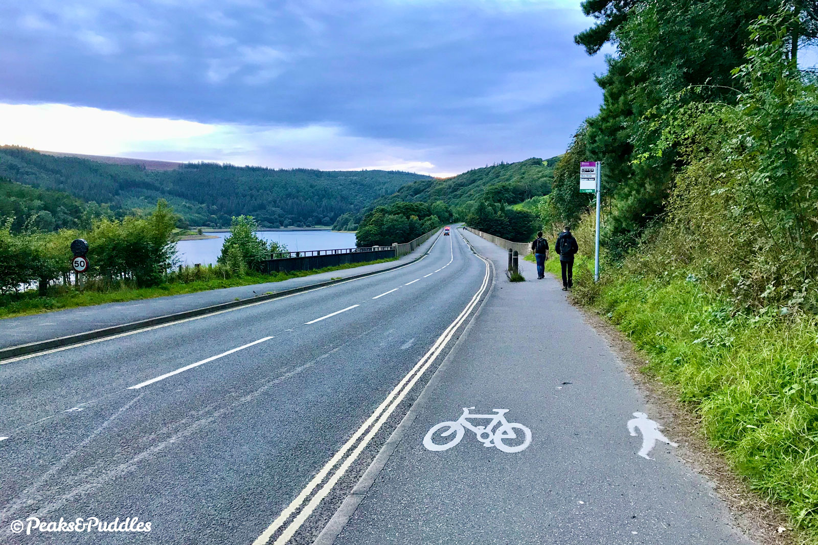
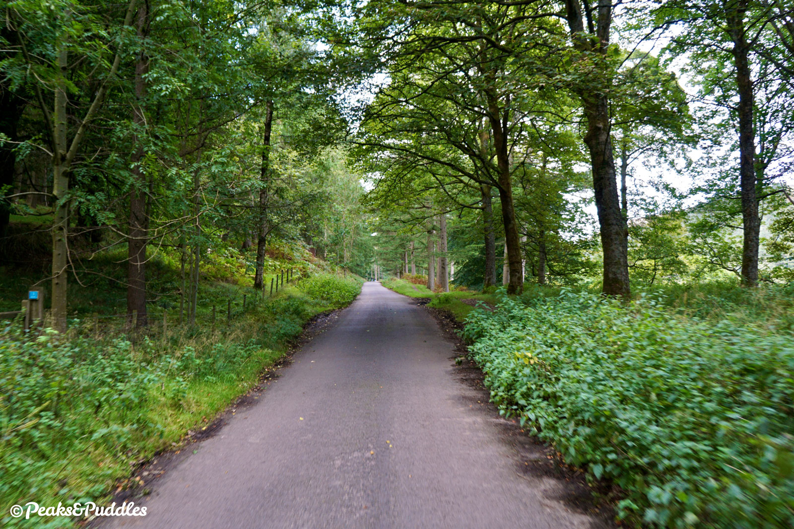
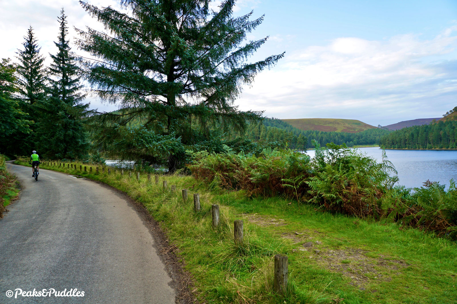
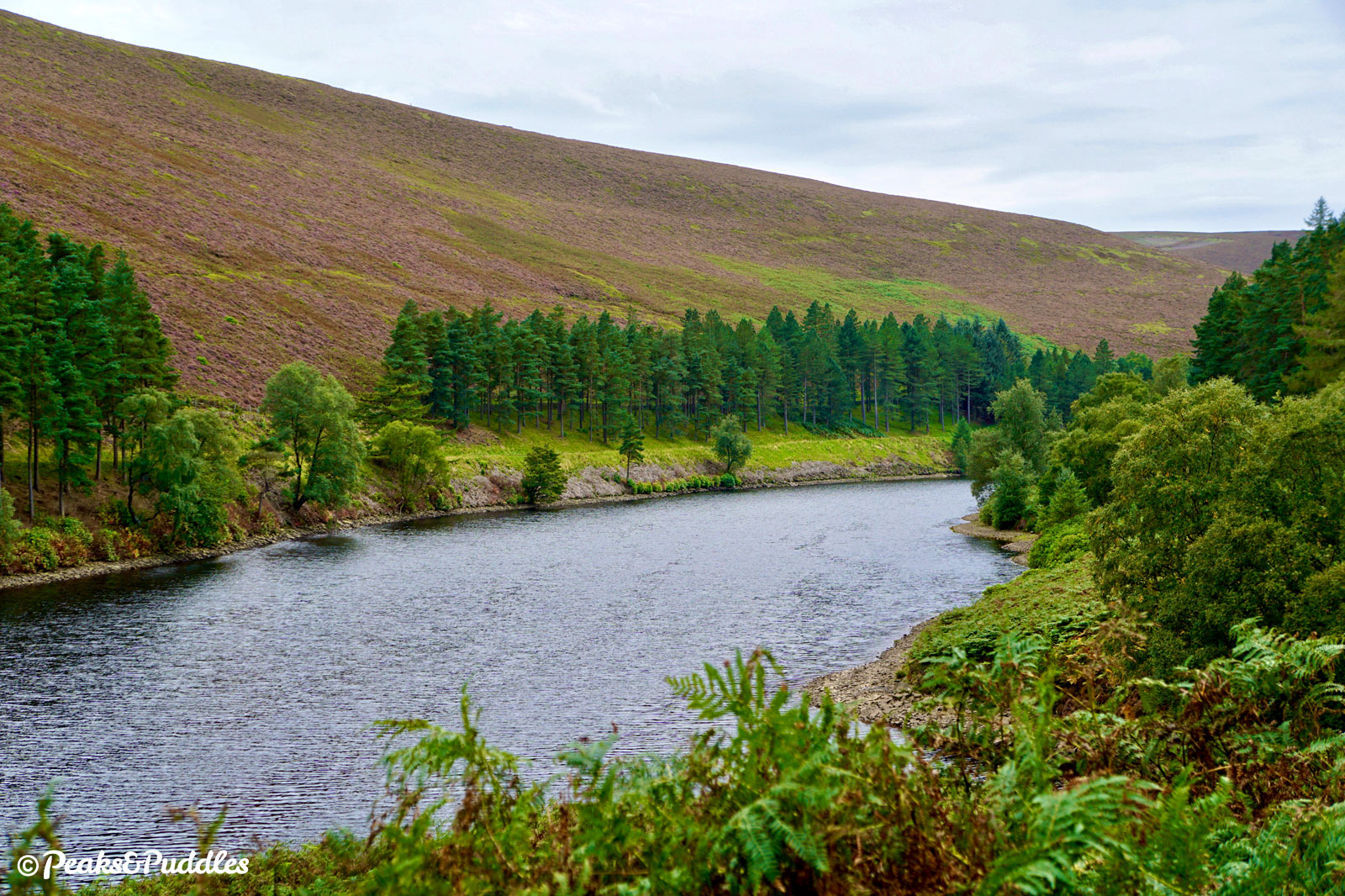
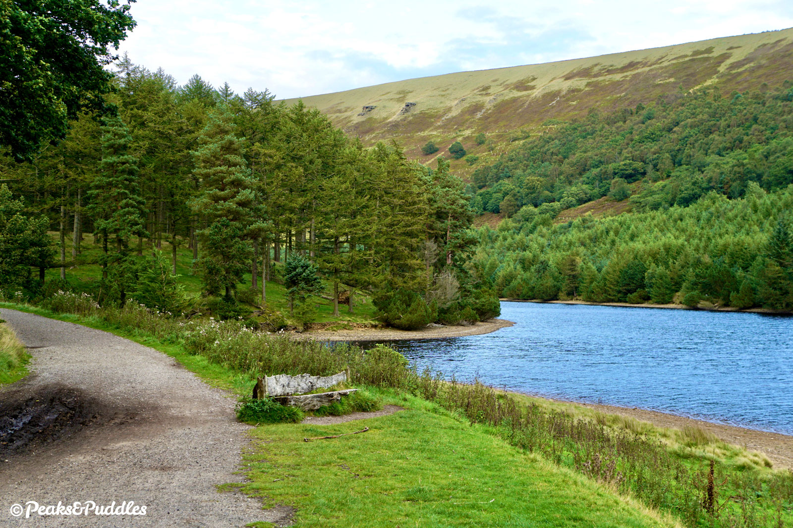
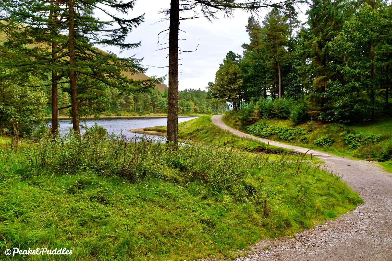
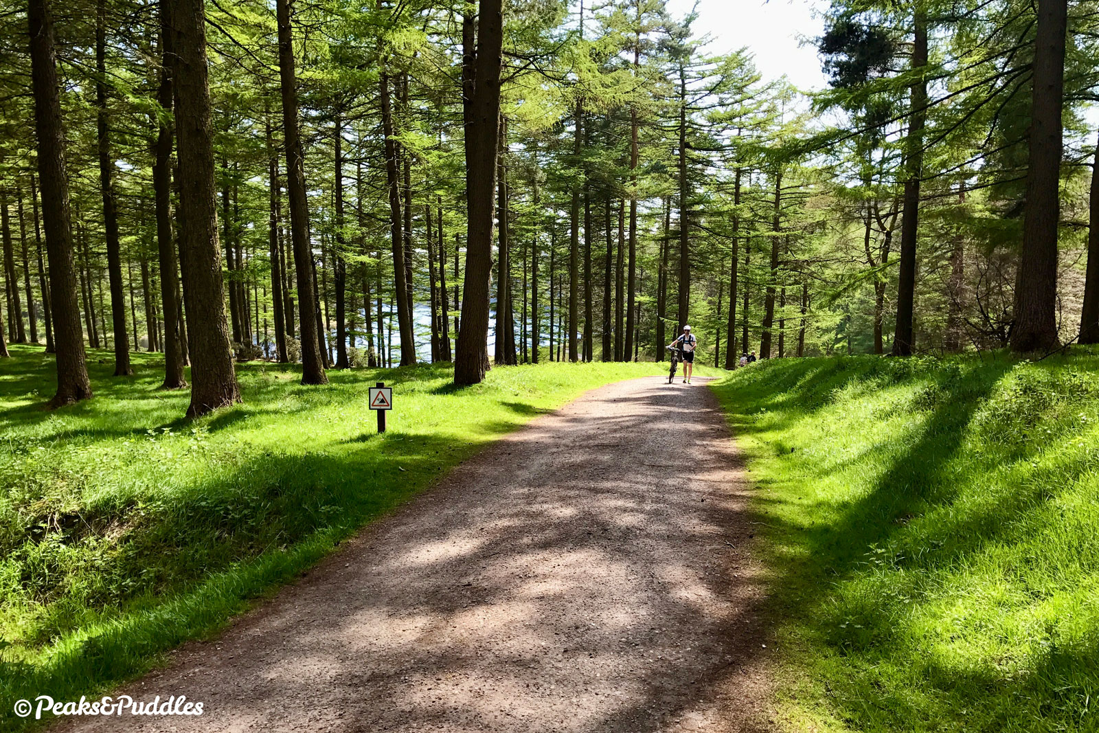
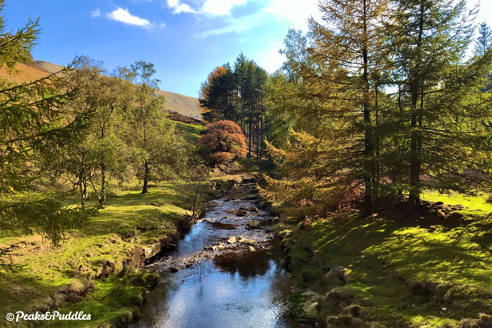
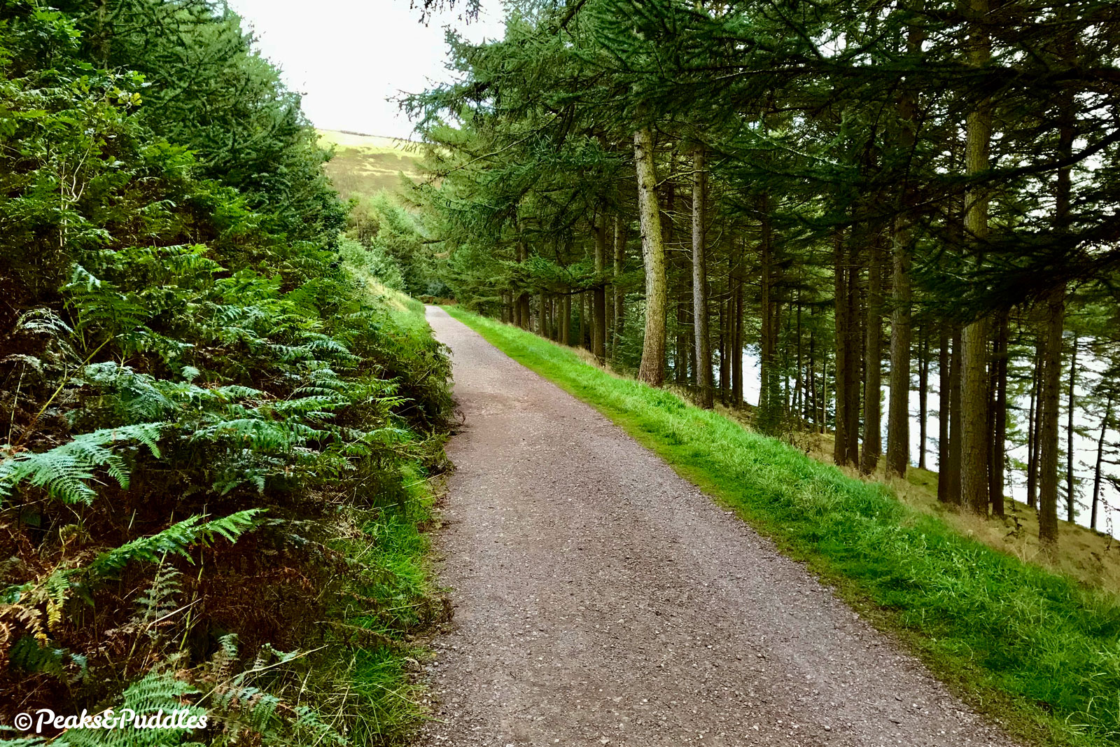
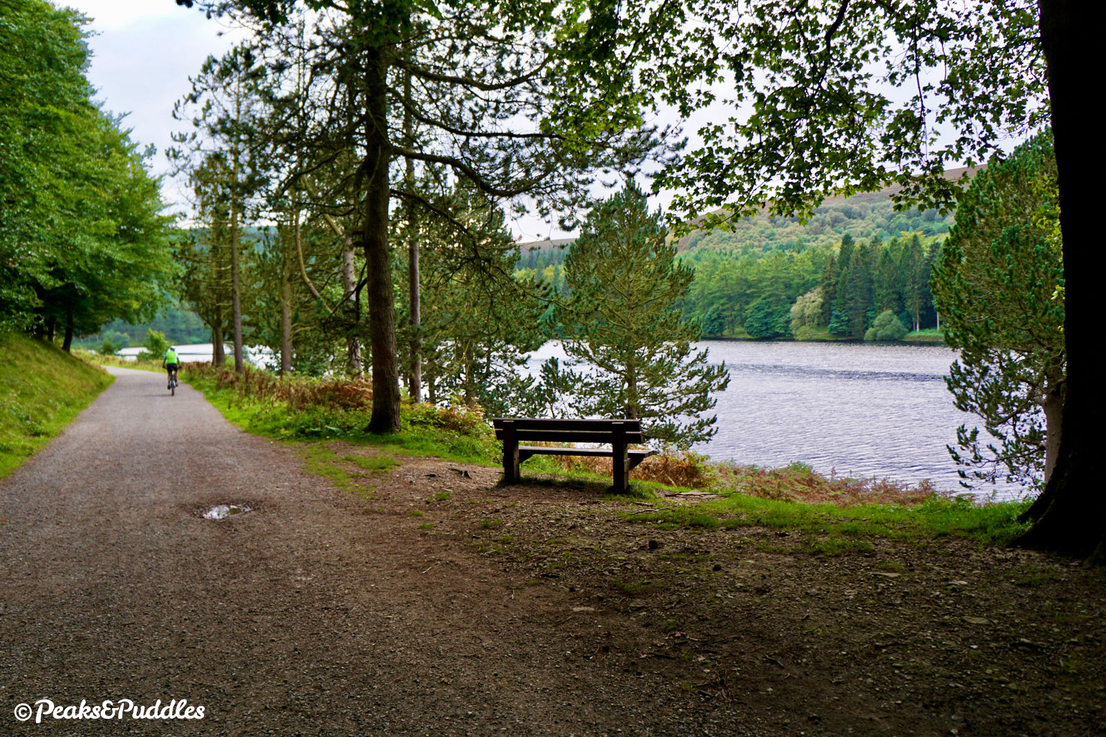
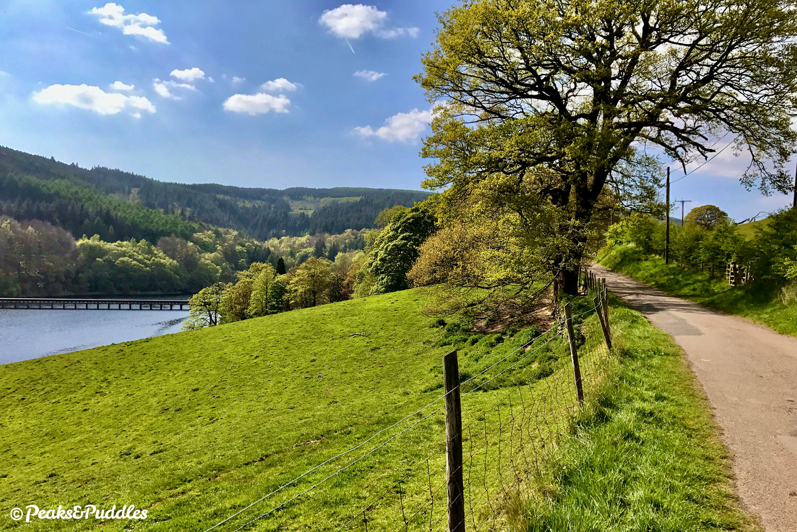
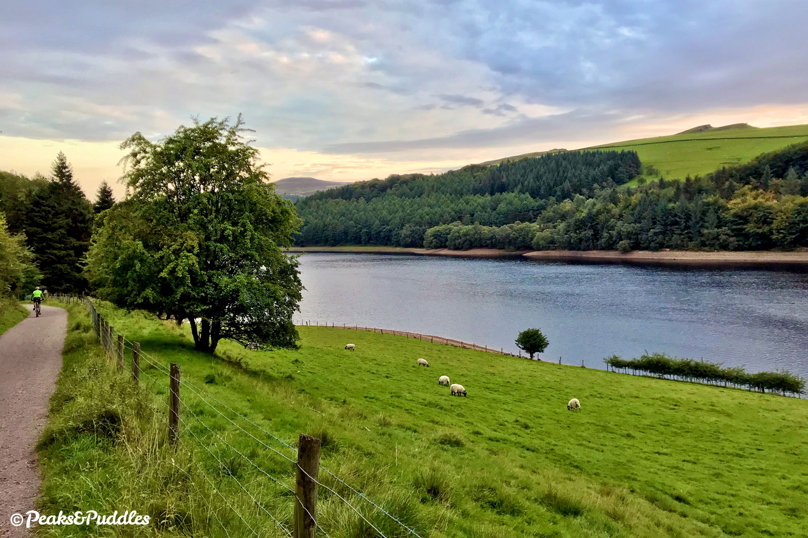
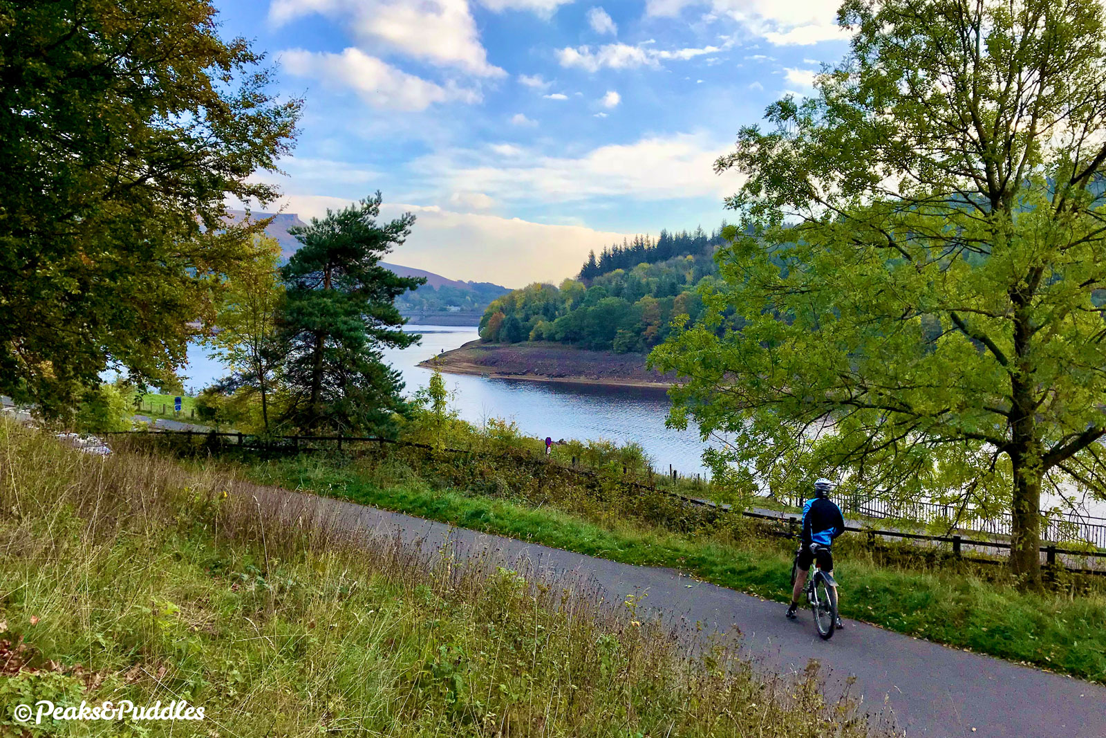
The lane now skirts beautifully through the trees along the western shore of the reservoir, passing Nabs Wood and Gores Farm. After dipping around the inlet of Ouzelden Brook, it passes Birchinlee, where the “Tin Town” which built the dams was once sited.

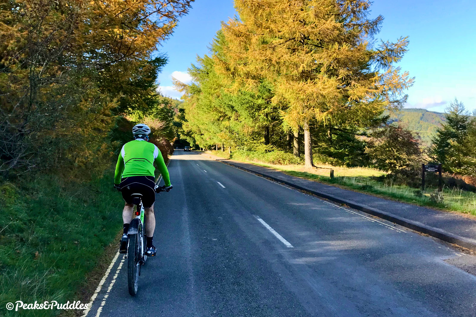
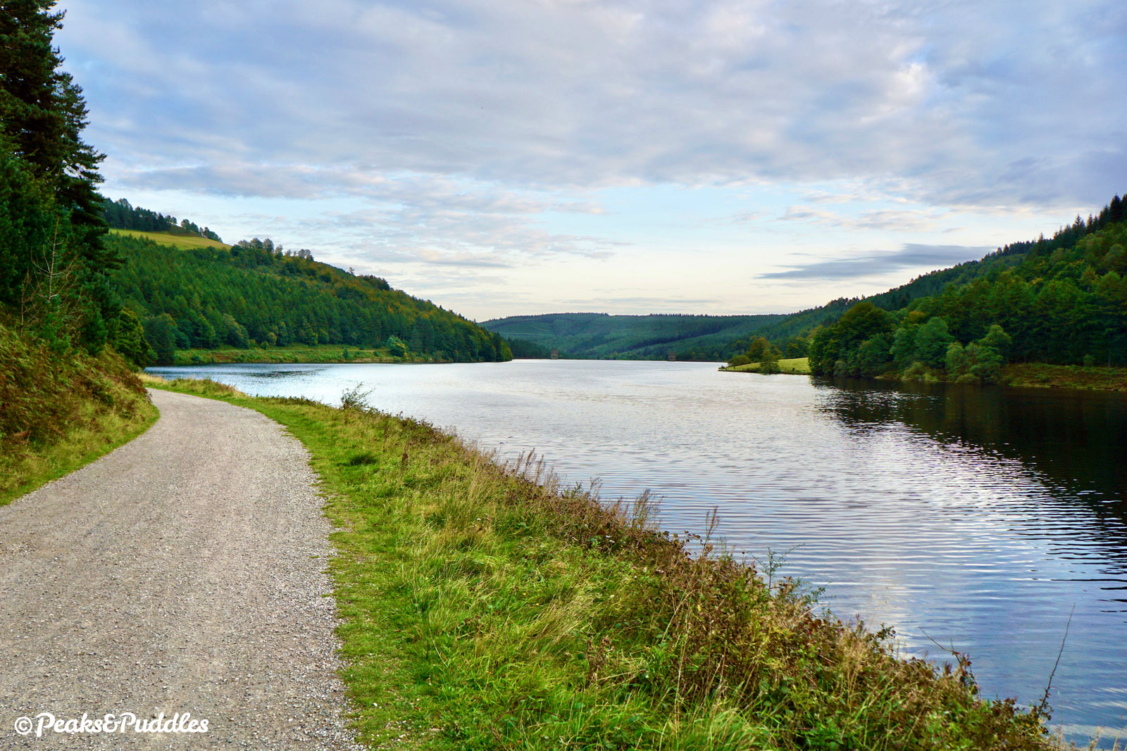
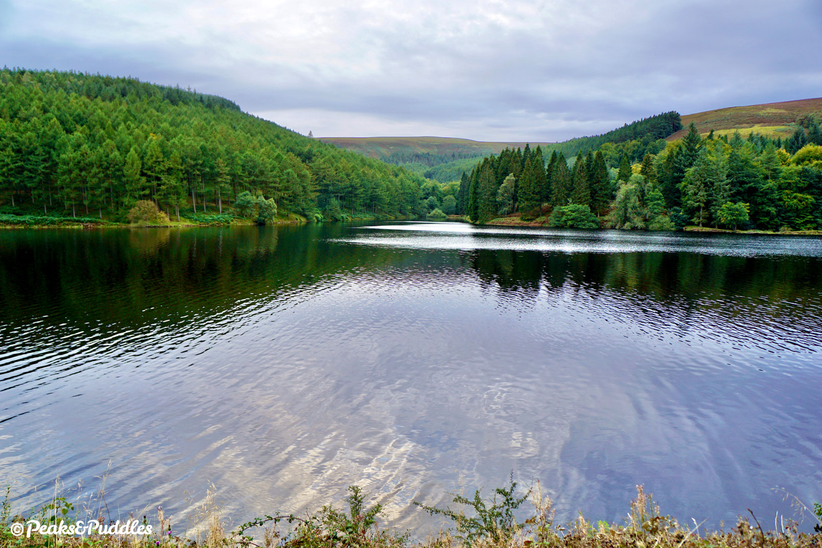
- The approach to the Howden Dam is another modest incline and yet, though just as impressive in style as the Derwent, the dam isn’t given the same prominence, being quite hidden by trees from many trees. Beyond, the route begins to really take on a wonderfully wild feel, climbing around a westerly bend below Fox’s Piece towards the inlet of the River Westend, diverting quite some way away from the main reservoir. This beautiful diversion sees the road drop down to a bridge over the river, its waters flowing down from Bleaklow into the reservoir, before returning back along the opposite bank.
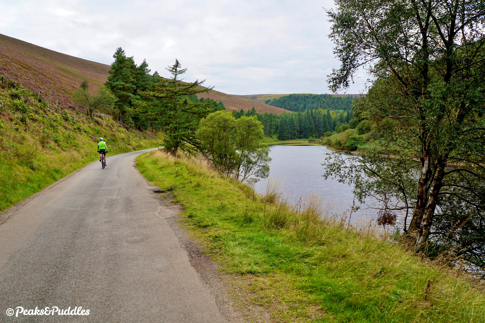
- A small but sharp climb leads around the north westerly corner of Howden Reservoir to the end of the road route at King’s Tree. The Royal Oak in the middle of the turning point was planted by King George VI at the opening of Ladybower Reservoir in 1945.
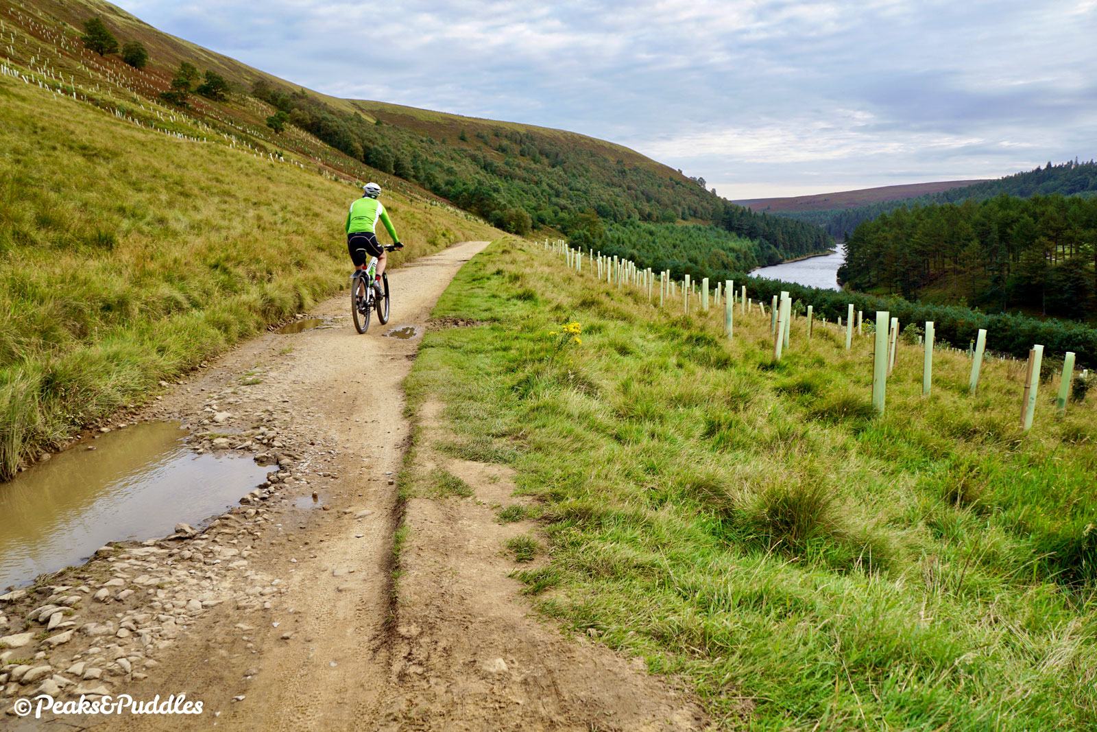
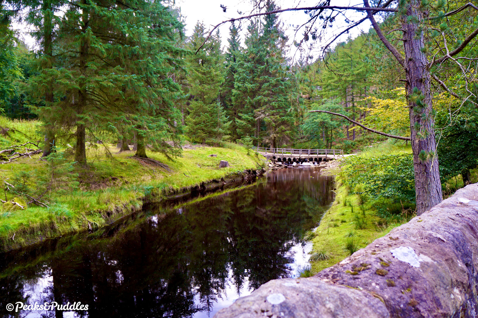
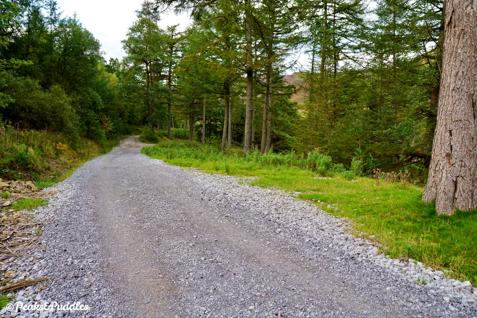
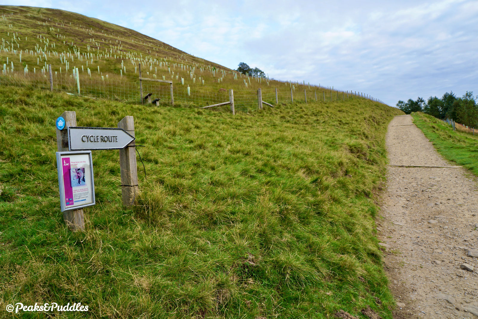
From here, the cycle route continues through the bridleway gate ahead and down an immediate gravelly drop into Linch Clough, followed by a stern hill up into the plantation on the other side. The now stoney surface takes the route up beside open moors before dropping substantially down to the very head of the reservoir.
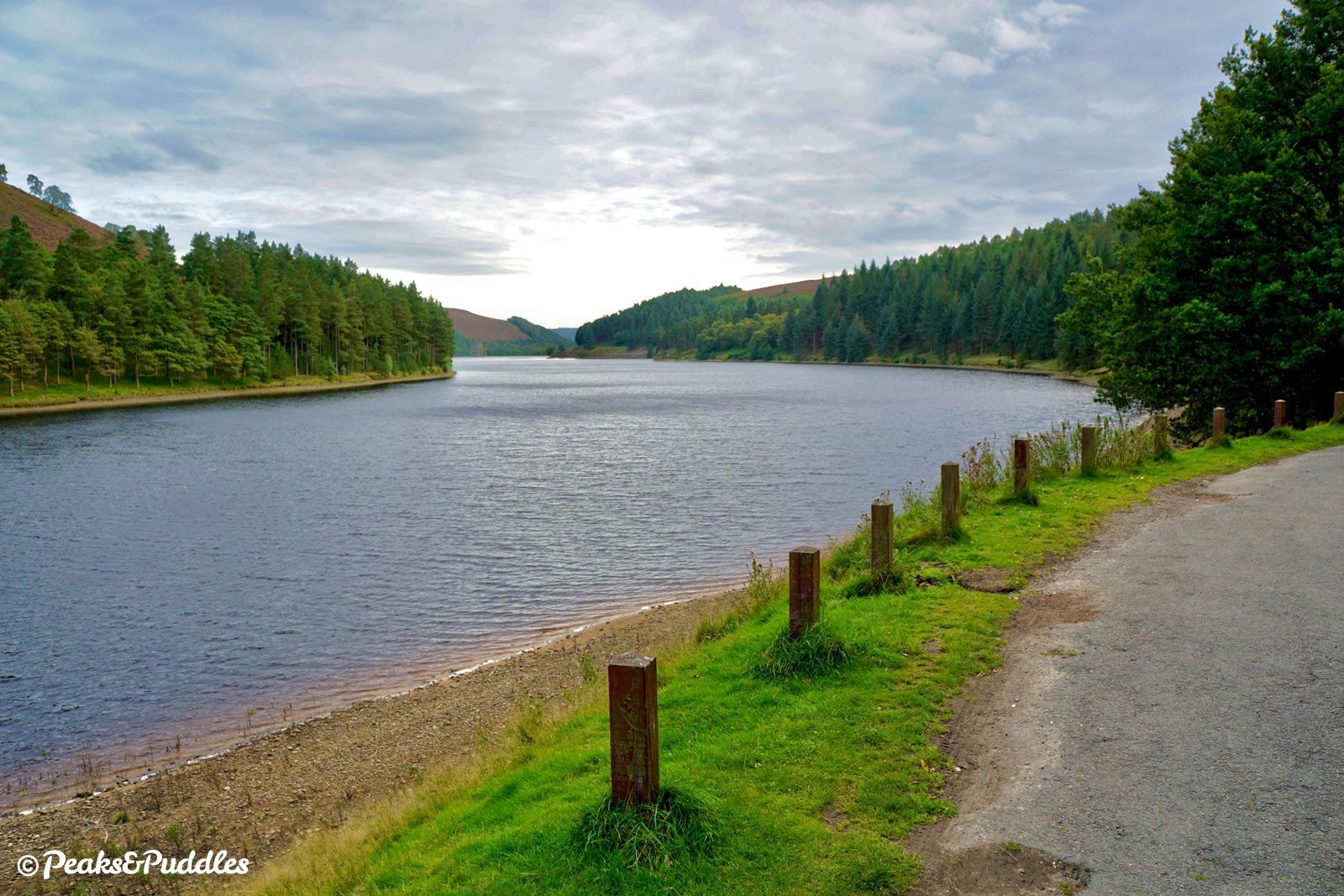
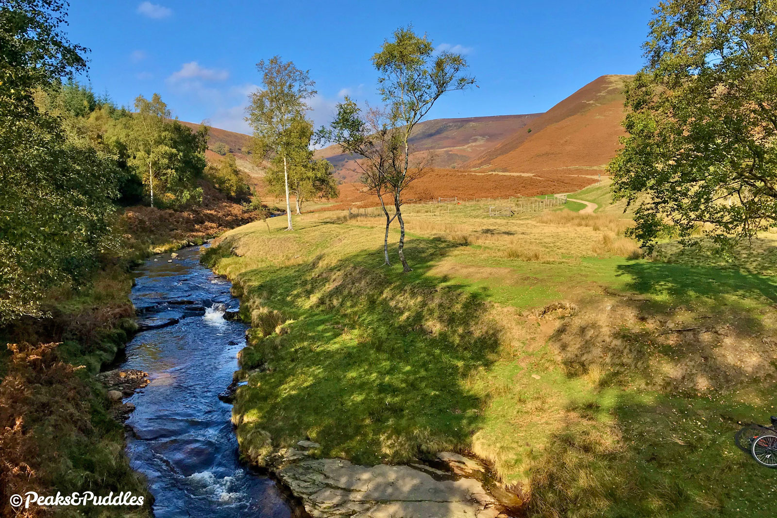
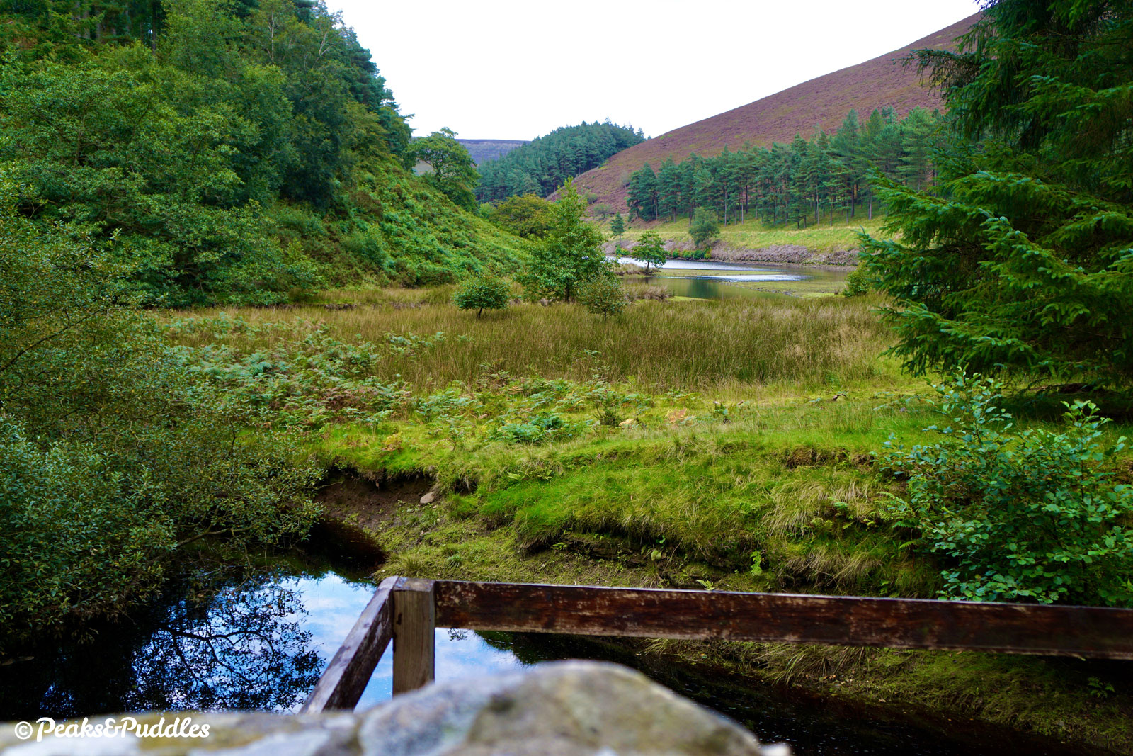
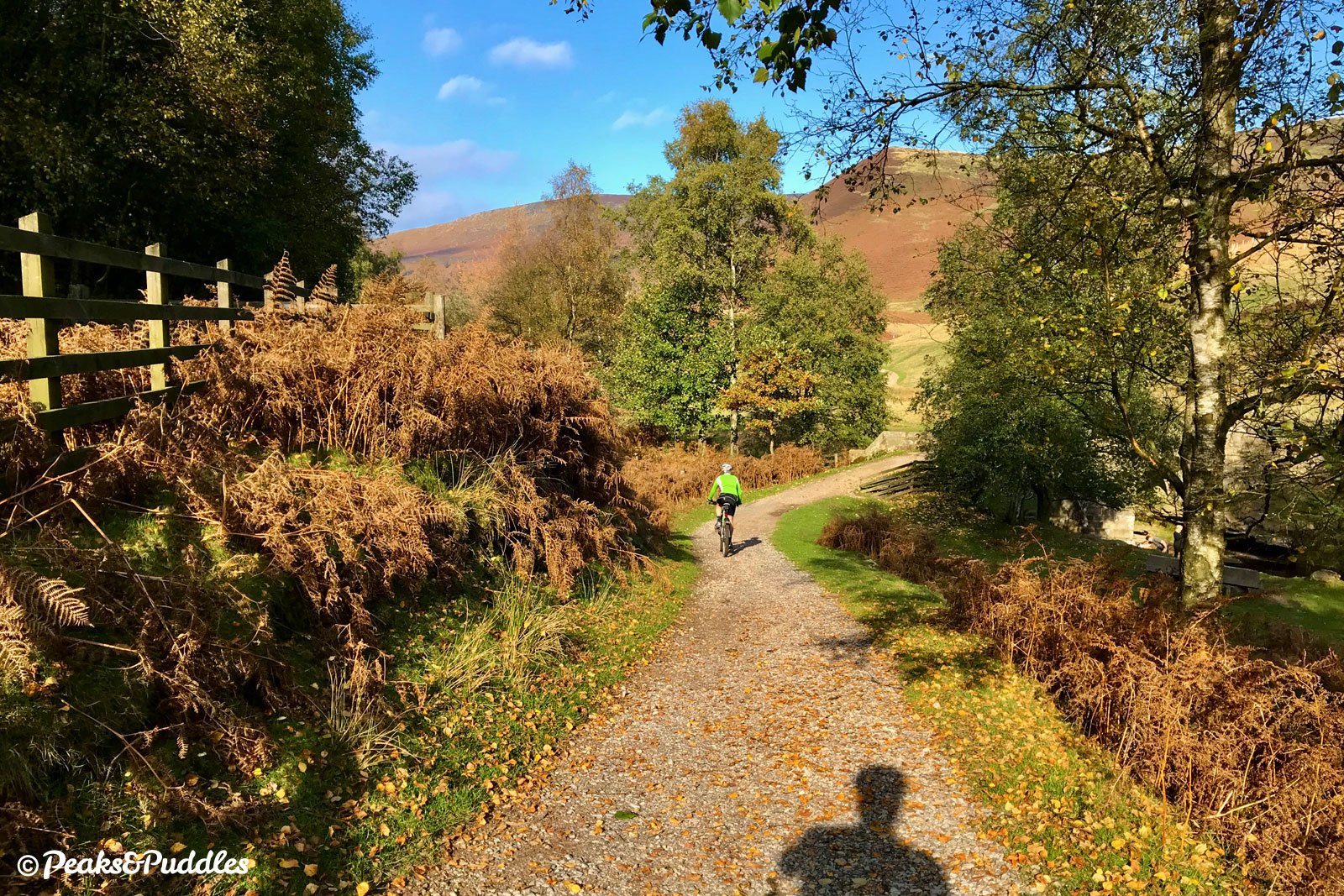
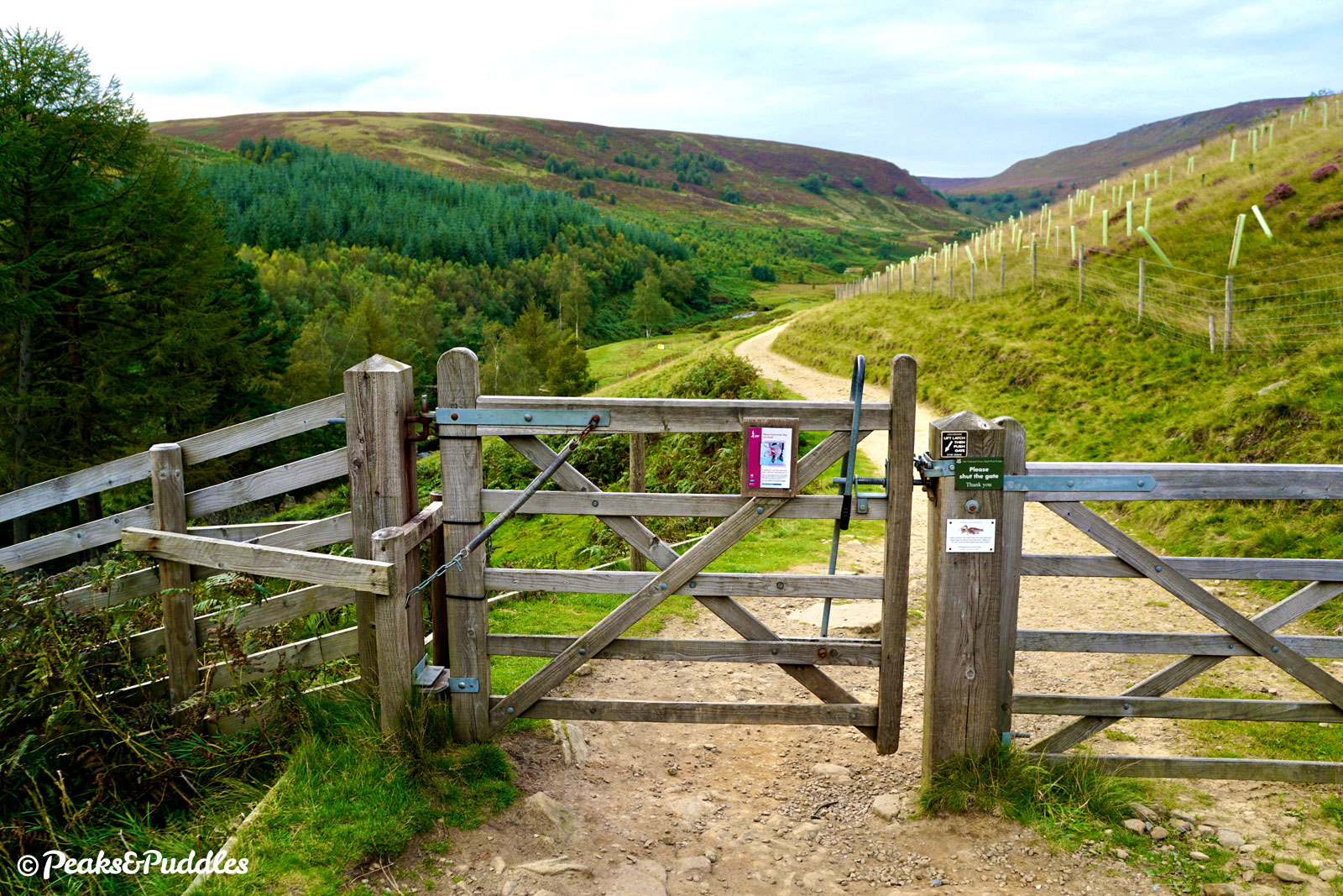
- Approaching Slippery Stones, ignore signs which may try to point you down to a ford and instead continue straight ahead, down a final drop to the reconstructed packhorse bridge. This fantastically picturesque spot sees the waters of the River Derwent itself flowing down into the reservoirs from the spectacular, bleak Howden Moors.
Though it might seem as if all routes end here, this is where the renowned Cut Gate bridleway begins its journey over the barely-tamed moors to Langsett. For the Upper Derwent loop, it marks the most northerly point. A sharp double-back takes the route up a keen, slightly bumpy hill.
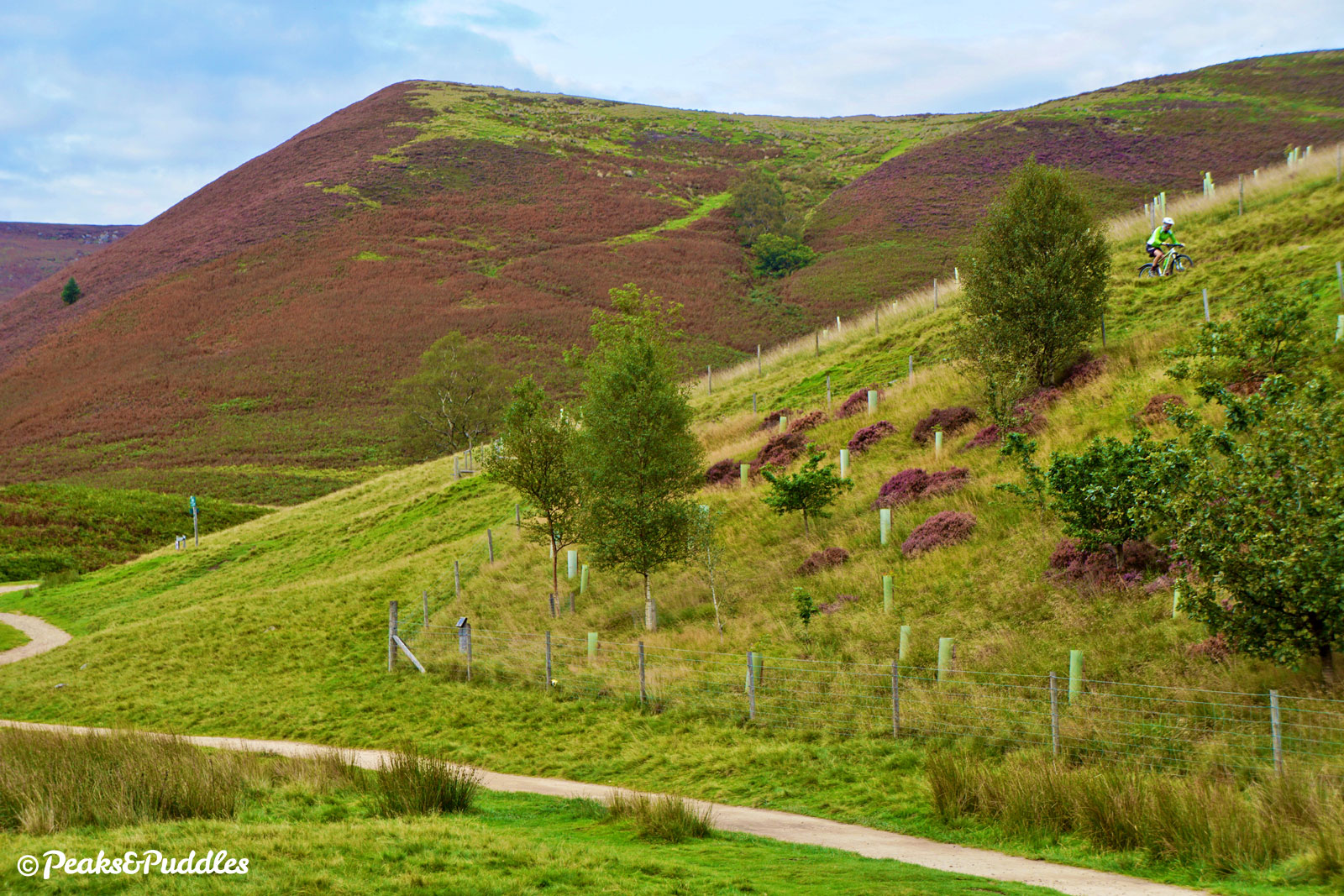
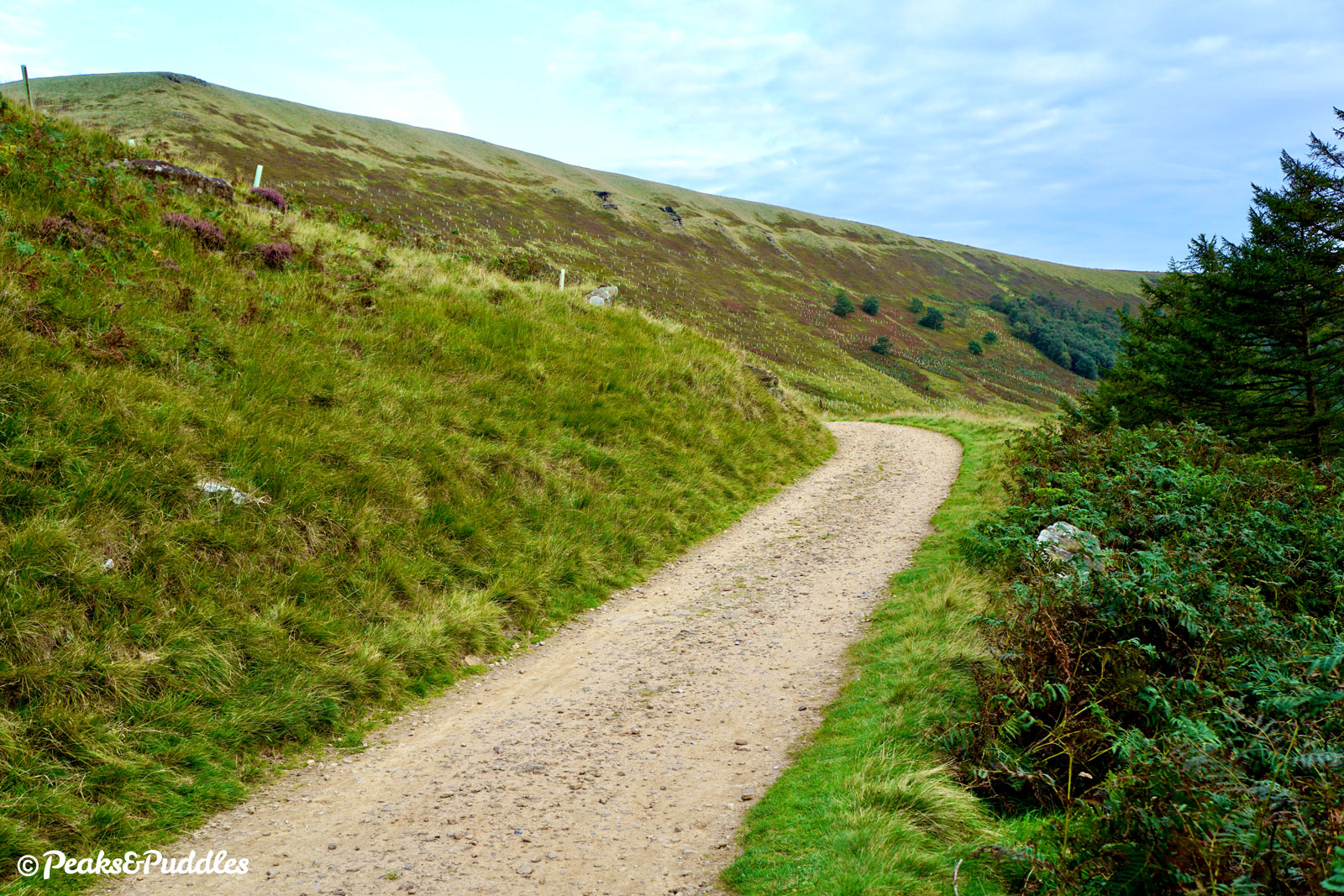
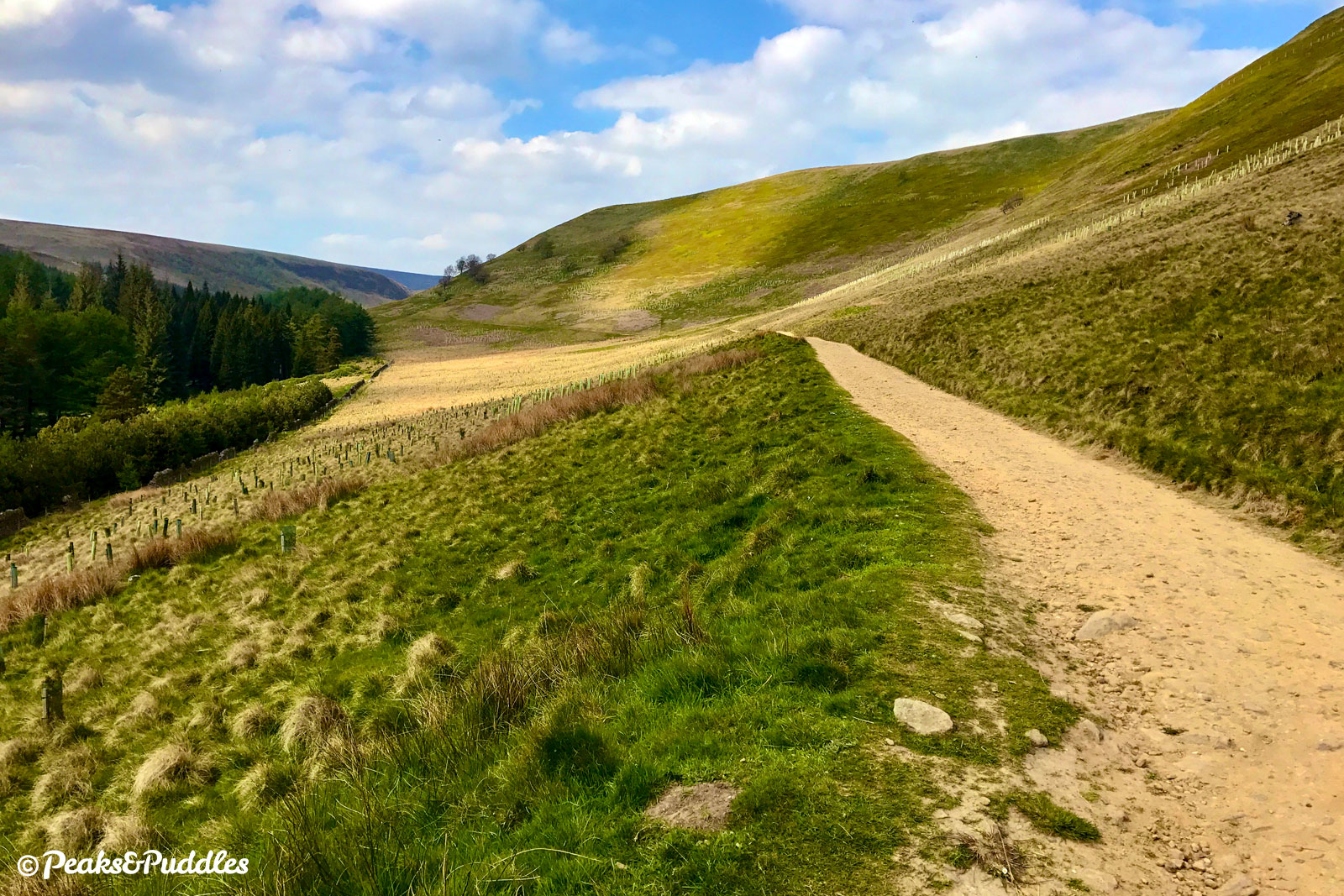
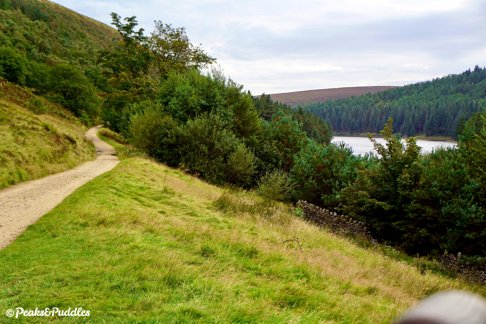
- The bridleway passes through the first of a few gates and sweeps stunningly down around Cold Side below Long Edge. As Howden Reservoir comes back into view, it enters into Ronksley Wood and now begins a solid amble south, on a smoother trail-type surface, back down the valley. At each inlet and clough, it dips inwards, sometimes with sharp drops and modest climbs. Both dams can be admired from the opposite side, at distance, while beside Derwent there’s a wide open, unobstructed view across the waters.


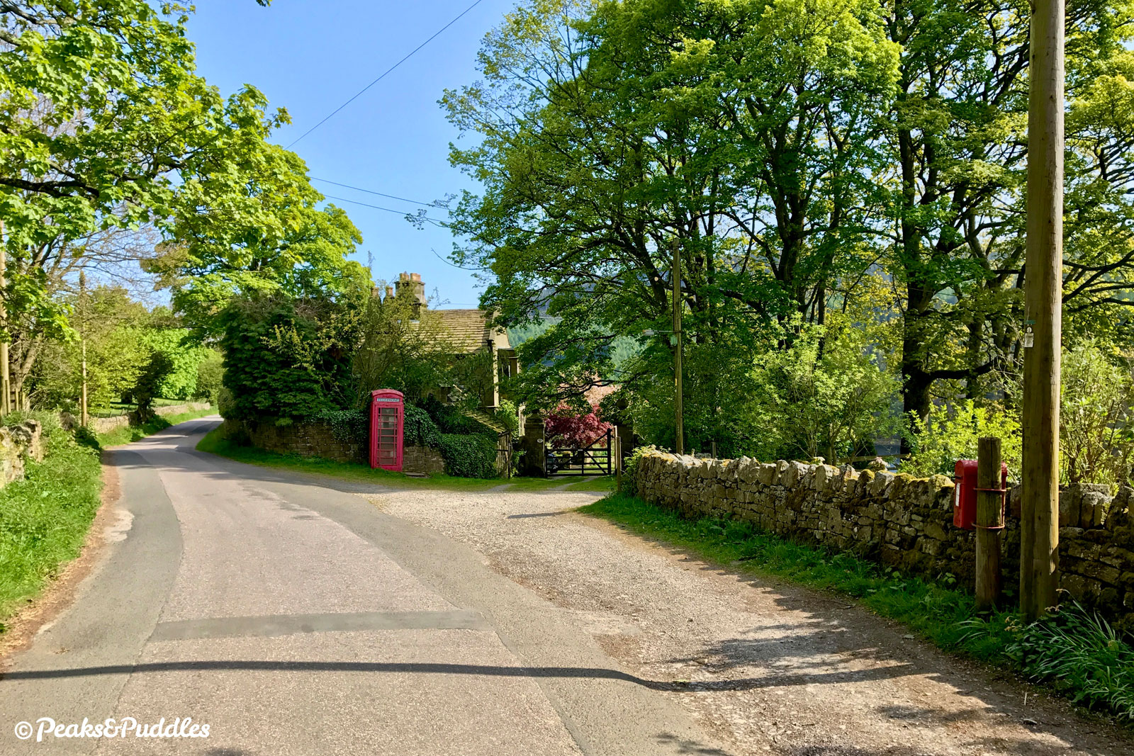
- Soon after the Derwent Dam, the bridleway joins a minor road serving the remaining cottages and farmsteads of Derwent village. (As it does so, the right turn leads down and back across to Fairholmes, see ‘Other route options’.) Continue ahead, passing a red telephone box at Jubilee Cottages.
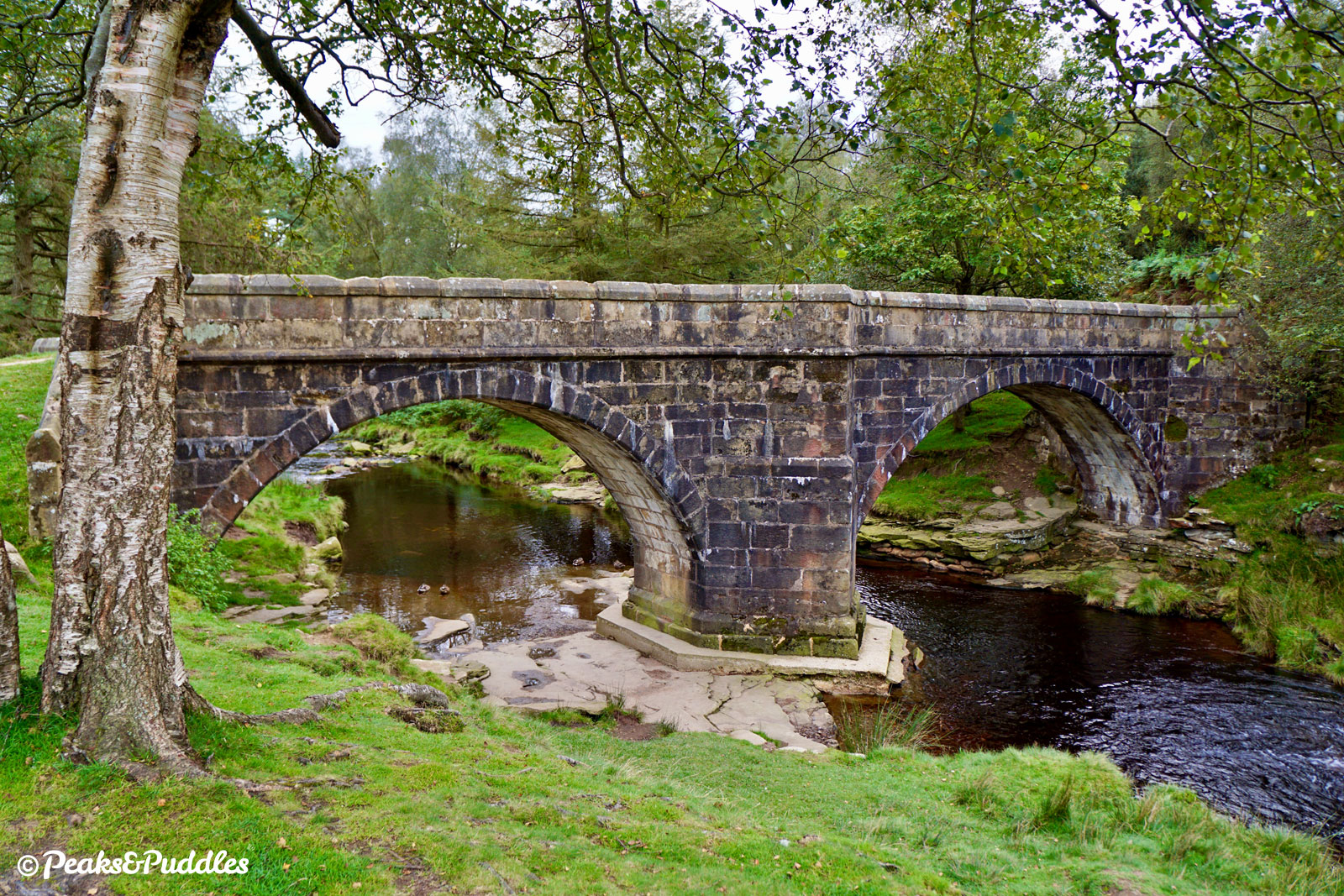
- As it drops down to cross a bridge at Wellhead, the lane reverts to a bridleway, though vehicles may still be encountered on its rougher surface for a short distance yet. The climb immediately following is steep and gravelly.
- Through a gate, the trail is now traffic-free again as it dips into Grainfoot Clough and cuts through its final woodland back to Ashopton, completing the loop.


Other route options
- Ashopton Off-Road — If you’d prefer to avoid the road from Ashopton to the Fairholmes visitor centre, then don’t cross the Ashopton Viaduct and instead stick to the eastern side of Ladybower Reservoir for both outbound and return route. Just after Jubilee Cottages where Derwent Lane forks, follow it left and down into the valley, in front of the spectacular Derwent Dam itself, then back up to the other side, turning right to continue the upper valley loop.
- Fairholmes Loop — If starting from Fairholmes Car Park rather than Ashopton, then a complete loop of just the Derwent and Howden Reservoirs, missing out the parts around Ladybower Reservoir featured in the main guide, totals 10.4 miles (16.7 km). On the return leg, follow the lane down in front of the Derwent Dam to complete the loop.
Found this guide helpful?
Please consider chipping in the price of a coffee to help pay the bills and support my work. Or become a Peaks & Puddles Plus supporter to get access to exclusive routes and pages in return.
Original photography, words and design by Anthony Sheridan unless indicated otherwise. Found this guide helpful? Buy me a coffee to help keep the wheels turning!
The all-important disclaimer: While great care and attention has been put into gathering these routes, ensuring details are accurate and determining their suitability, all information should be used as a guide only and is not a replacement for using your own judgement or research when setting out on new adventures. Peaks & Puddles/the author cannot be held responsible for any issues that may arise from the riders own decision to ride a section of indicated route.
Always ensure your equipment is safe and legal for use and that you are well prepared, carrying everything necessary including access to a good map. Follow the Highway Code and the Countryside Code at all times. Respect the landscape, the wildlife and the people you encounter. And after all that, have fun!