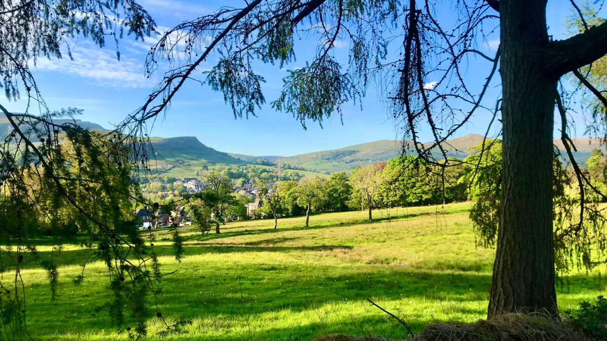
Taking in two favourite hilly cycling lanes either side of Buxworth in the central High Peak, this figure-of-eight loop is the perfect add-on to a ride down the Peak Forest Canal and its Tramway Trail, if you want to stretch your legs that bit further.
Route details
- Distance
 6.8 miles / 10.9 km
 - Elevation Gain
 216 m / 708 ft
 - Time allow 1 hour
- Difficulty
 Moderate
 - Terrain 30% Off-Road Path Traffic-free trails, towpaths & cycleways 70% Road Quieter lanes, sometimes brief busier roads 0% Unpaved Bumpier tracks & bridleways
- Suited to
 All Bikes
  Gravel Bikes
  Mountain Bikes
 - Notes Tight canal towpath and narrow lanes with a couple of steep descents. Steps to return to towpath at Furness Vale.
- Suggested Start Furness Vale SK23 7QR SK 0086 8361
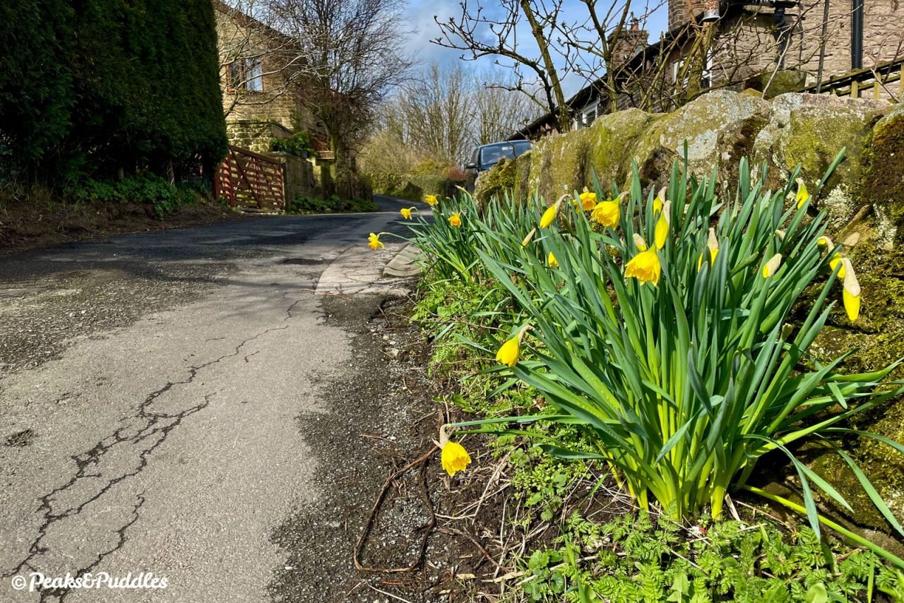
- Places Buxworth, Chinley, Derbyshire, Eccles Pike, Furness Vale, High Peak, New Mills, Whaley Bridge, Whitehough
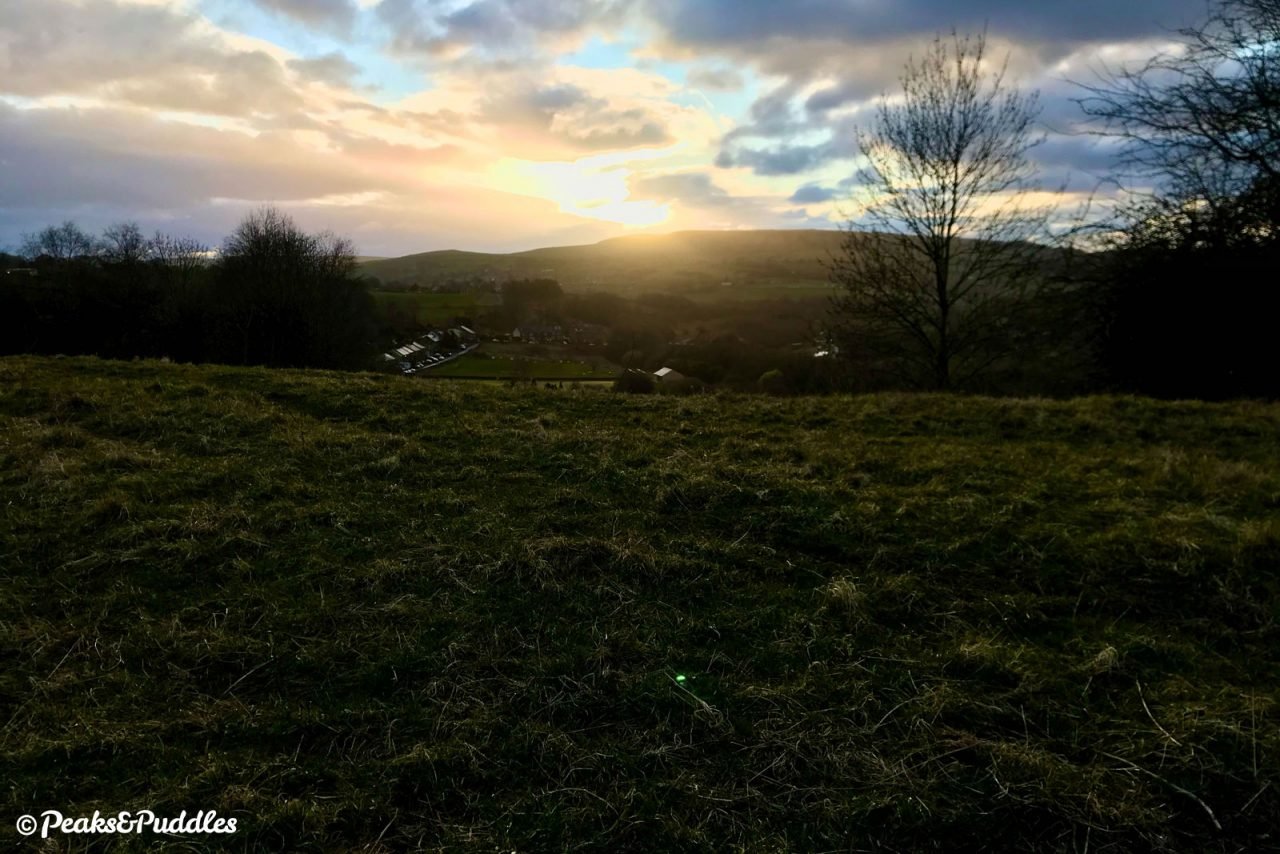
- Attributes Accessible by train, Bridges, Canals, Circular loop, Family-friendly, Ideal for electric bikes, Industrial heritage, Pubs and cafés, Railways, Rivers, Short sharp climbs, Suitable for older kids, Towns and villages, Views of hills and peaks
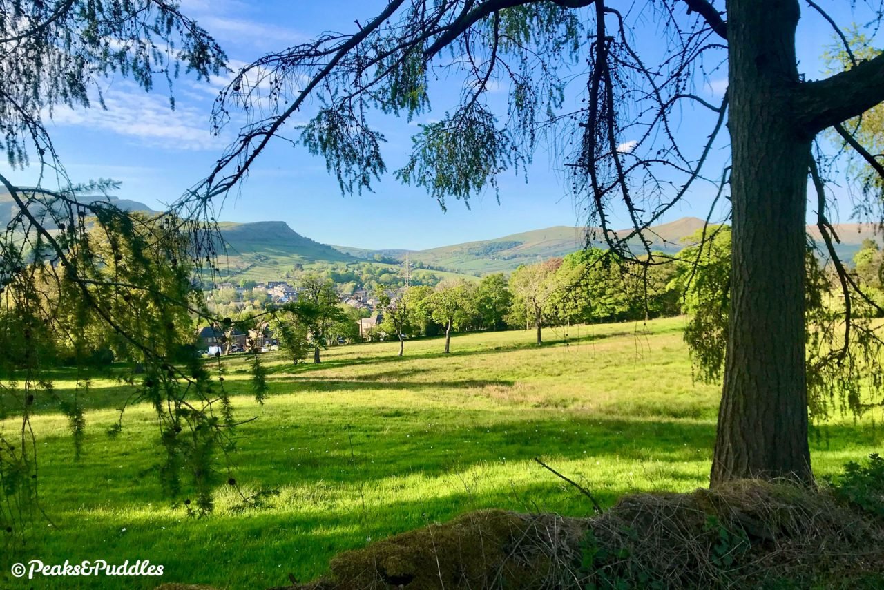
What’s in a name? Perhaps “Buxworth Bypasses” isn’t a very evocative title for what is a very scenic and fun romp, part-way up the sides of Eccles Pike and Chinley Churn. In the late 1920s, the residents of then “Bugsworth” weren’t happy either.
Believing the name to be somewhat ugly, on 16th April 1930 they eventually succeeded in renaming their village to Buxworth, associating it more with the stately spa town of Buxton. Even the railway station, now long since closed to passengers, was renamed.
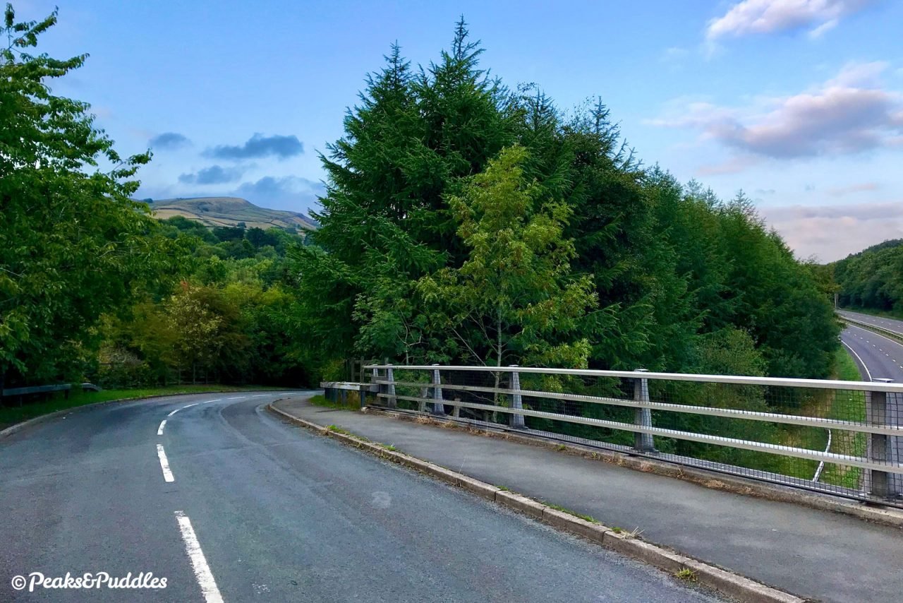
Then, in a cruel twist of fate, over fifty years later, the village was ingloriously split in two by a dual carriageway. The A6 Chapel-en-le-Frith Bypass sliced right through the area in the late 1980s, cutting along the Black Brook valley despite being a reprieve for the main road on entirely the other side of Eccles Pike.
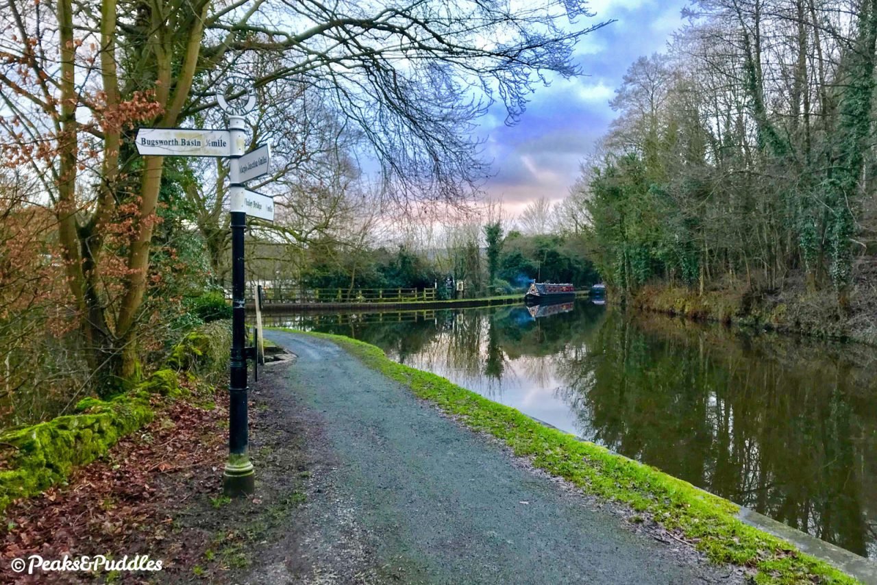
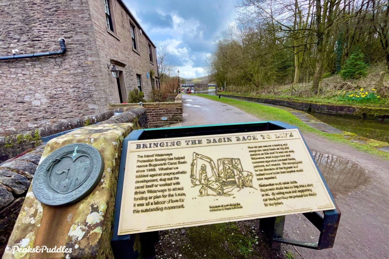
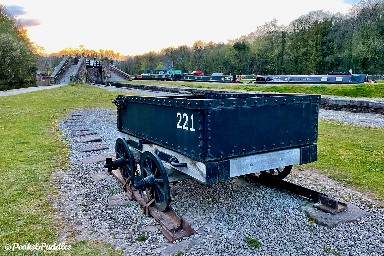
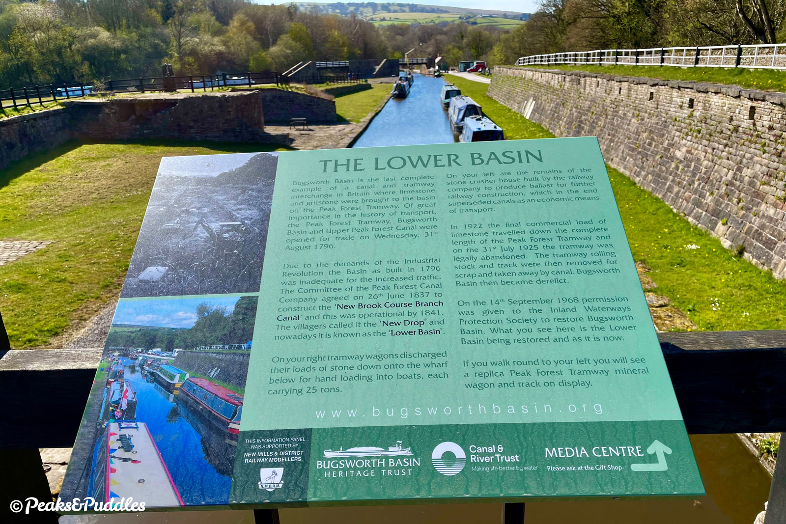
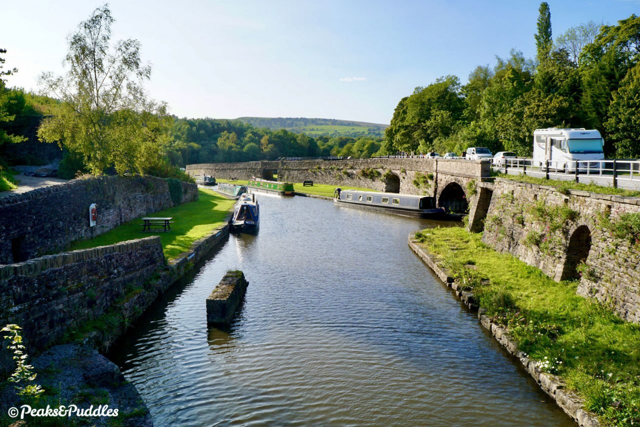
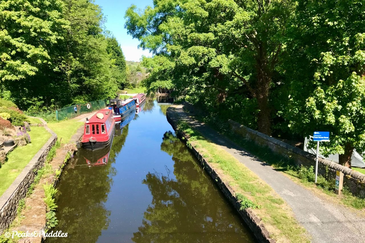
In that swathe of destruction, it’s remarkable that both the derelict transshipment basin at the end of the Upper Peak Forest Canal and the course of the Peak Forest Tramway escaped relatively unscathed, both included in this route. The reborn wharf is now a popular attraction for the village and still known as… Bugsworth Basin.
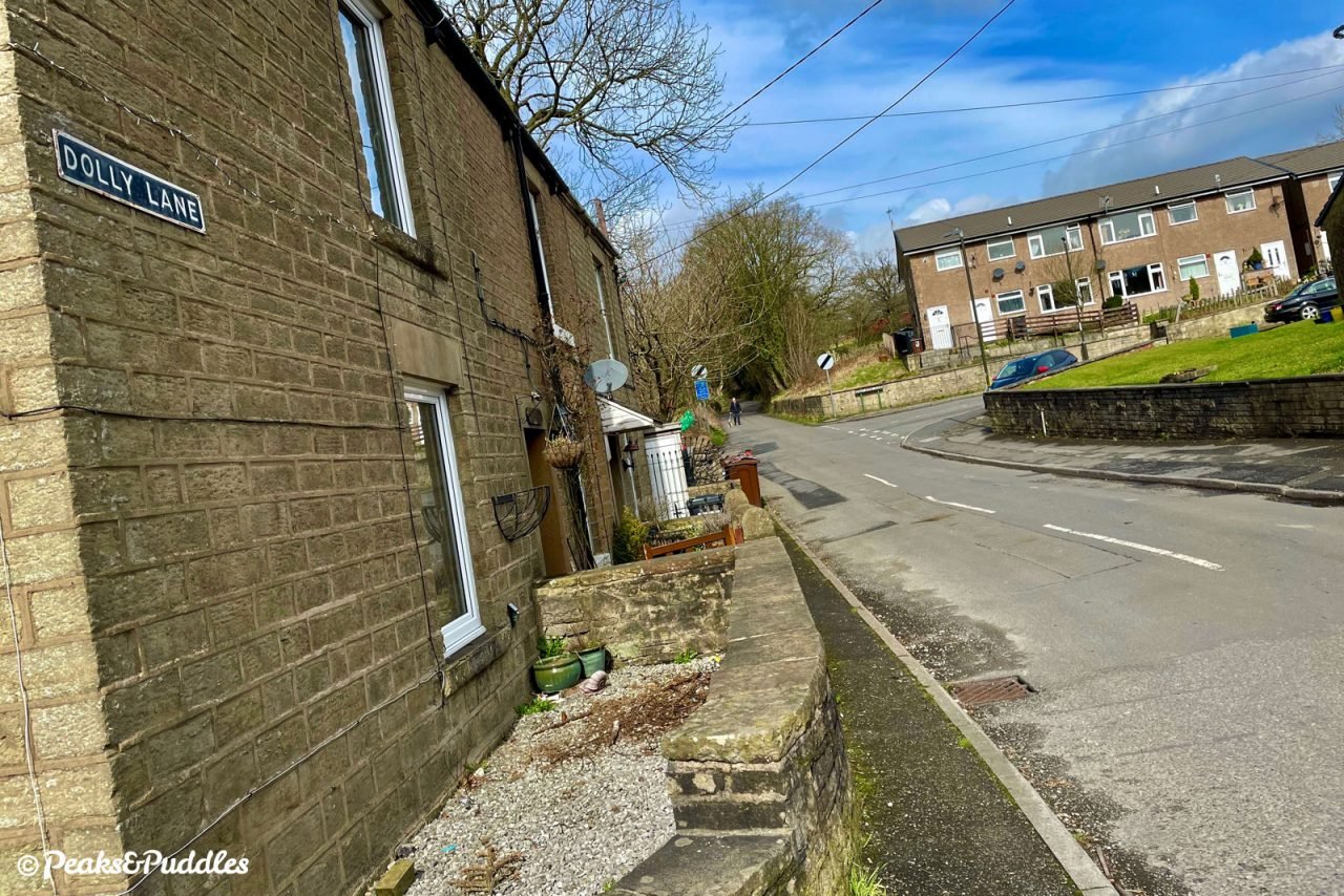
The history of the other half of this route is harder to spot. Despite the area around Dolly Lane being home to several collieries and coal pits in the 19th Century, including a tramway from Dolly Pit down to the lime kilns at Bugsworth, it’s today a thoroughly grassy, green hillside.
One local legend is that the pit, and then the lane, took its name from a young woman who, following an ill-fated love affair with a mine worker, threw herself to her death down the mine shaft.


Today, the new A6 certainly makes itself known audibly, but decades of tree growth have concealed it fairly well from the two halves of the village and the glorious hills around it. Though it’s legal to cycle on, it should be avoided at all costs.
This route on quiet and moderately challenging lanes alongside shows that by leaving the car at home and bypassing the bypass out to the Peak District, there’s so much more to explore, so much closer to home.
Route map
Getting there
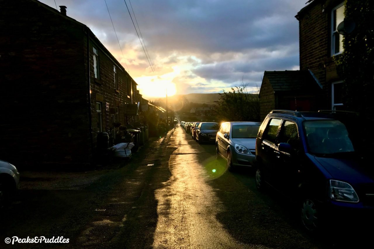
As an add-on to the Upper Peak Forest Canal cycle route, anywhere along the canal provides a perfect starting point — even as far back as Marple or beyond. The mapped route here starts at Bridge 31, Station Road in Furness Vale, and returns you to the same spot, so you can rejoin the canal back to where you began.
If you start further back from Victoria Street, New Mills, the total return route becomes 9 miles (14.5 km), or from Redhouse Lane, Disley 11.2 miles (18 km), or Marple Junction 16.9 miles (27.2 km), making for a very worthwhile ride out.
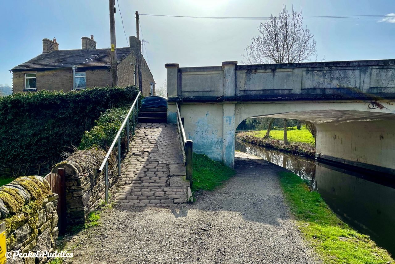
Note that if you’re coming from the Whaley Bridge branch of the canal, you’ll need to lift and carry your bike over a narrow bridge at the junction for Bugsworth Basin, or use steep cobbled ramps and a tunnel underneath, to access the towpath to the basin. Bings Road (signposted Route 68) offers an alternative step-free, but very steep, route over Silk Hill to Buxworth.
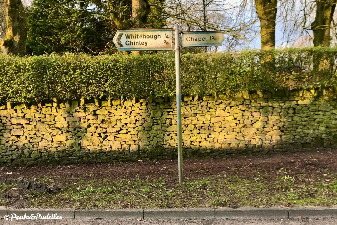
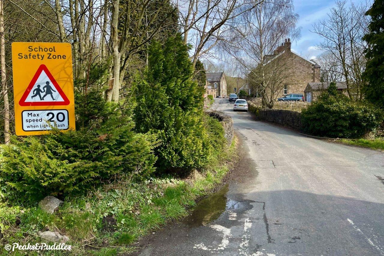
From Chapel-en-le-Frith, Crossings Road and Whitehough Head Lane provide a good link in, never too busy with traffic, but be prepared for a climb home. From Chinley, head straight down Green Lane then continue up Whitehough Head Lane. (Start at Stage 4 for both and loop back.)
By train: Furness Vale railway station is just a few metres up Station Road at Bridge 31, where the route begins, making it a perfect way to access these hills.
By car: There’s no particularly advisable parking at Furness Vale. If you don’t want to start further back along the Upper Peak Forest Canal, best to find a spot at Bugsworth Basin and begin where this route joins the Peak Forest Tramway Trail — see that guide for access tips.
Things to note
- From Station Road at Furness Vale, the only access onto the canal is by a few narrow stone steps followed by a short cobbled ramp; you may need to lift your bike.
- At Bugsworth Basin, the surface alongside the canal is briefly quite coarse limestone with a few potholes.
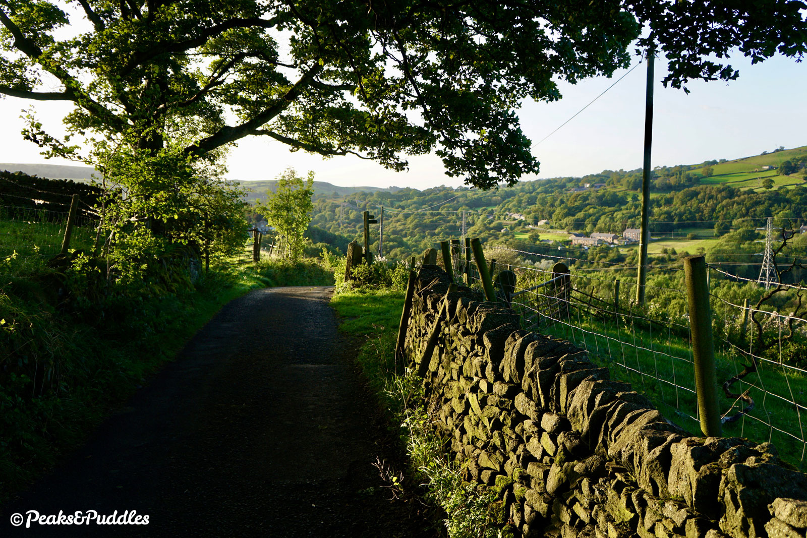
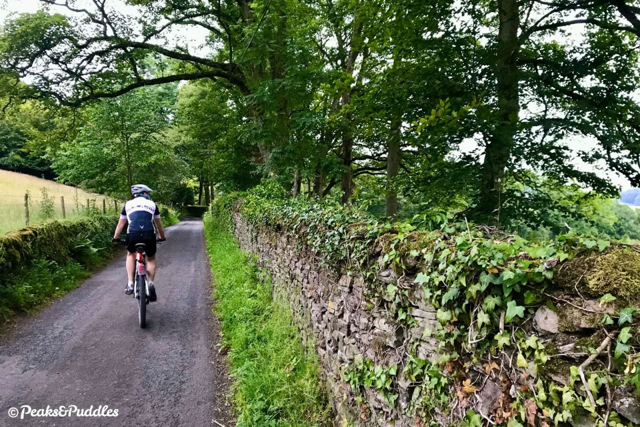
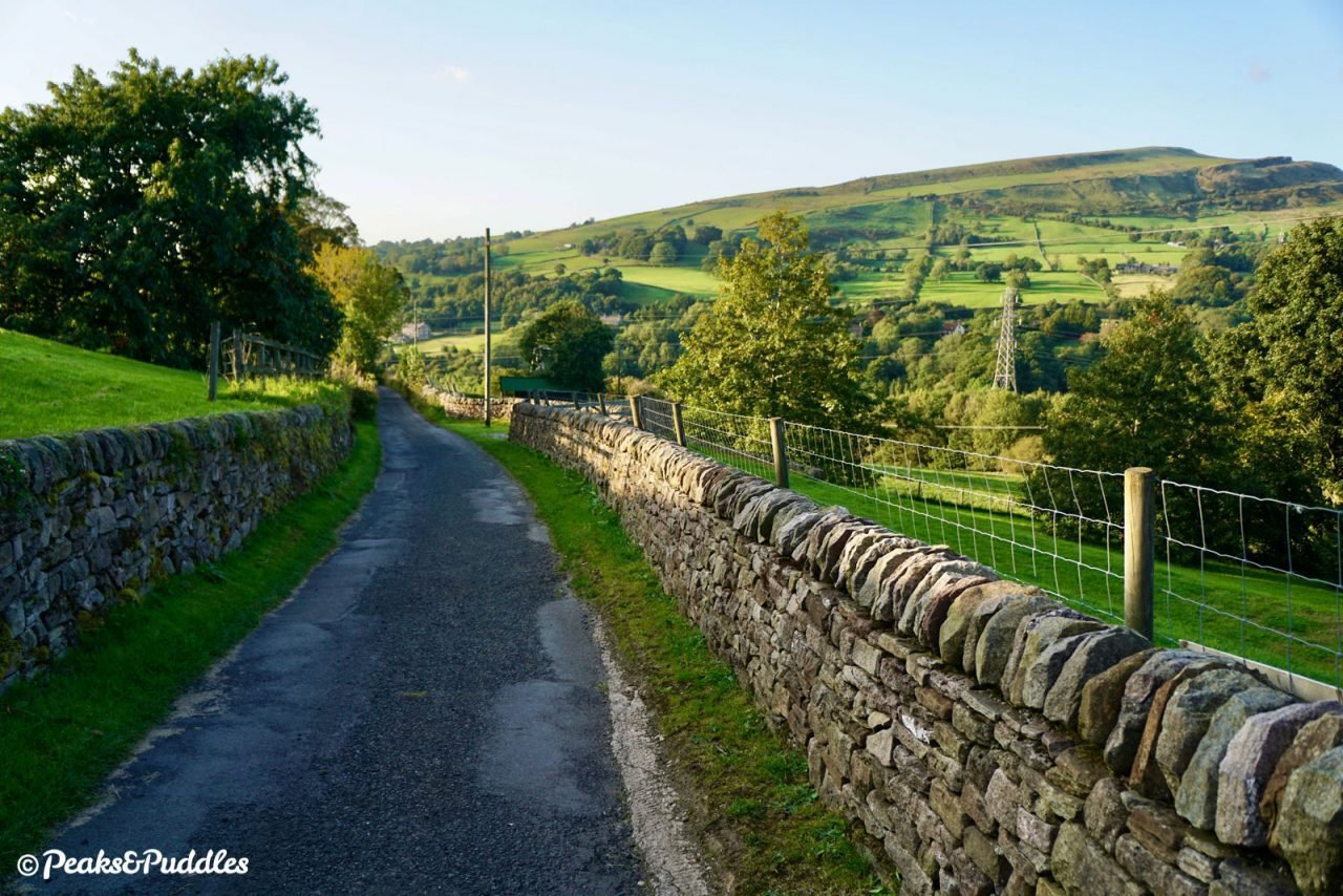
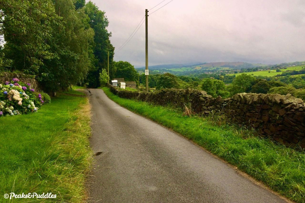
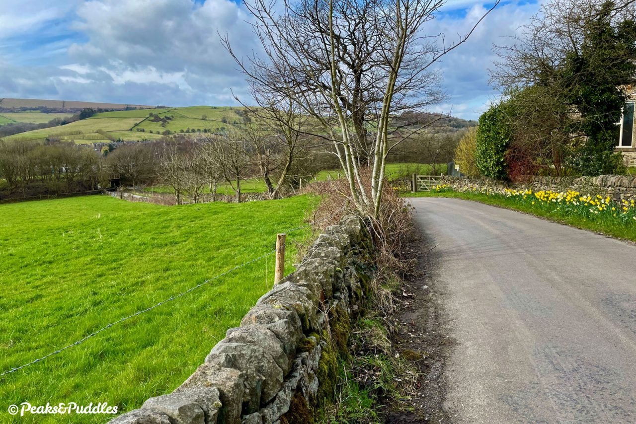
- Back Eccles Lane although beautifully quiet for cars is very narrow with downhill dips and quite a few blind bends, so don’t be tempted to roll into an excessive speed — hands on the brakes!
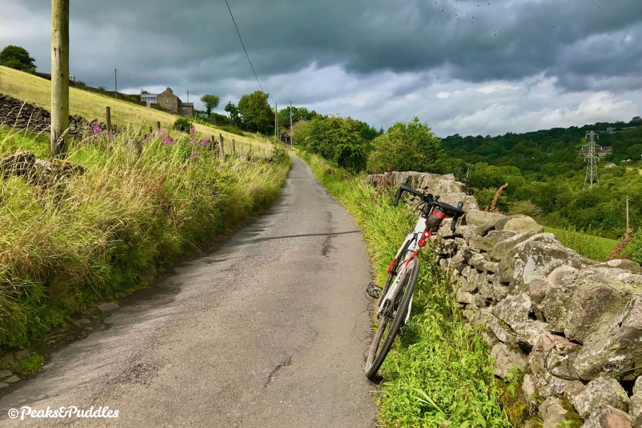
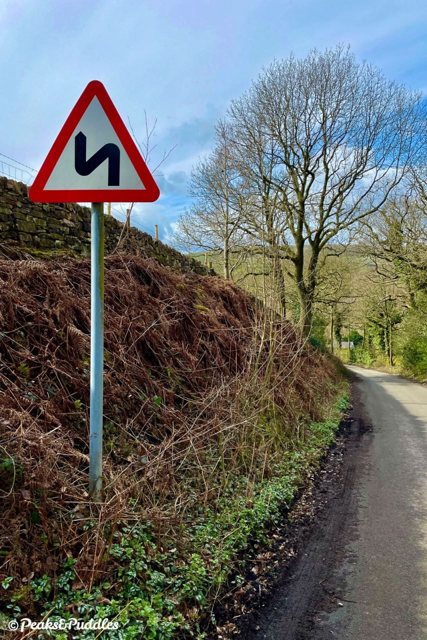
- Dolly Lane is slightly wider and more gently rolling, though does have one notable steep downhill section after Hillside Farm, with a sharp blind bend at the bottom, to be taken steady.
- See the Upper Peak Forest Canal cycle route and Peak Forest Tramway Trail cycle route guides for more tips about these specific sections. Remember to take it easy on these shared paths, especially the narrow canal, and slow right down when passing others. From behind, always ask to pass well in advance by bell or a friendly voice and wait until a signal that you’re welcome to pass.
Found this guide helpful?
Please consider chipping in the price of a coffee to help pay the bills and support my work. Or become a Peaks & Puddles Plus supporter to get access to exclusive routes and pages in return.
Route stage-by-stage
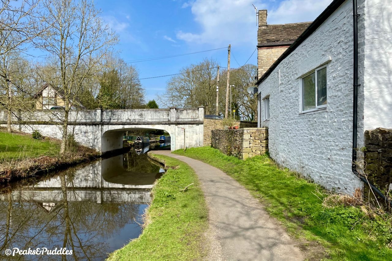
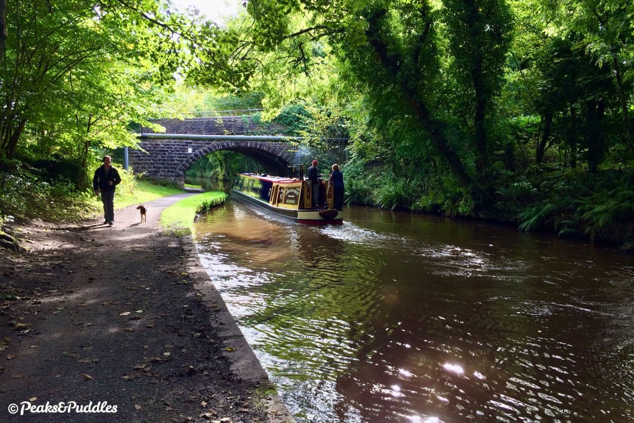
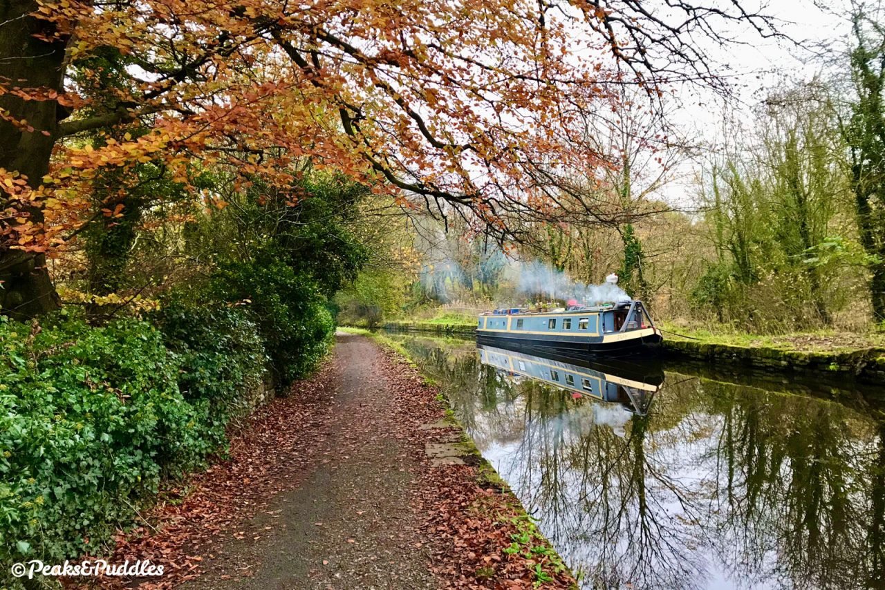
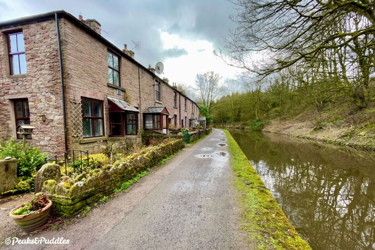
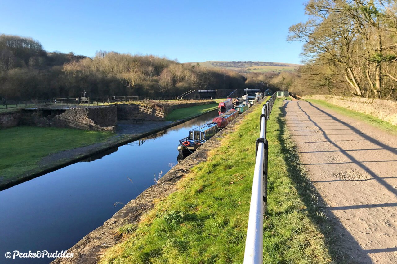
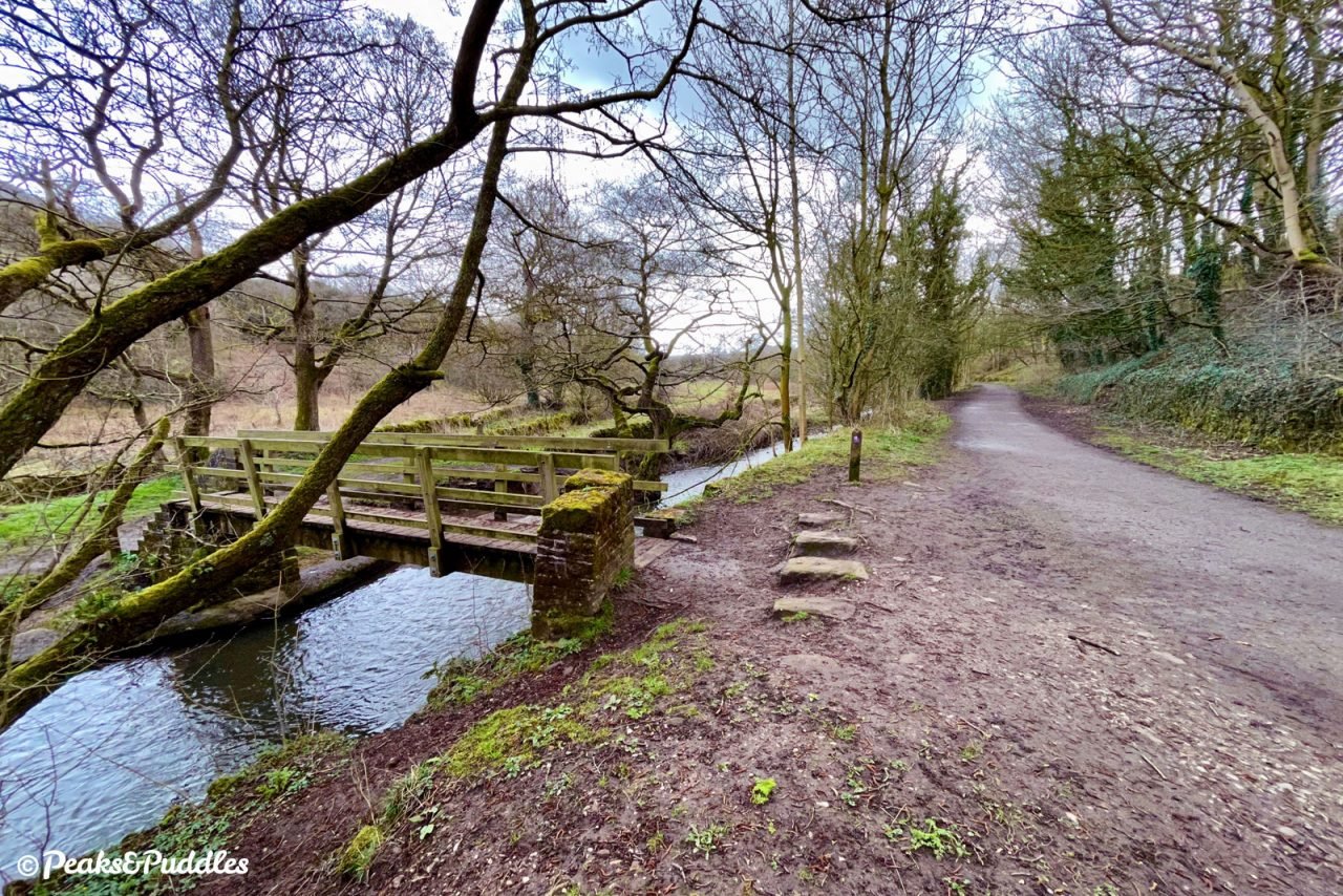
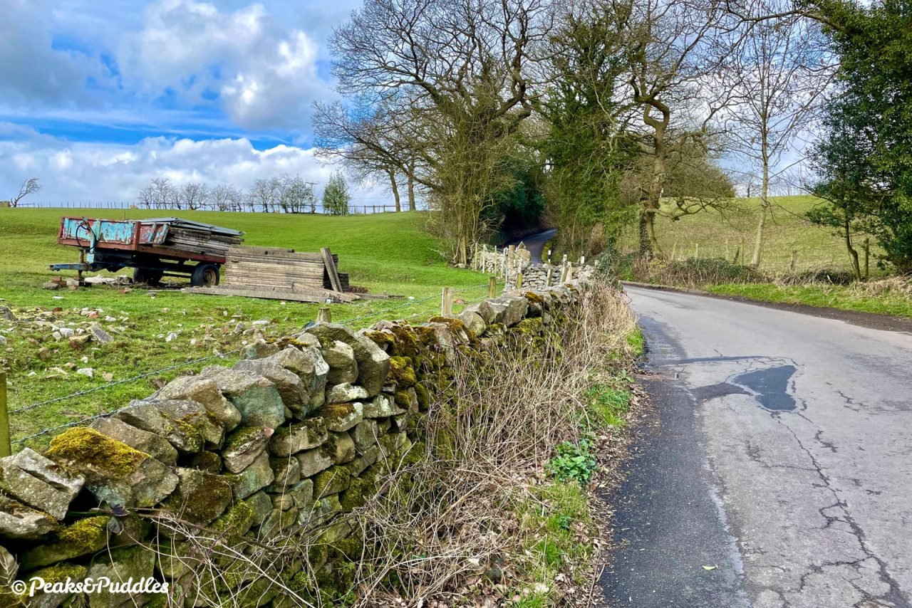
- From Bridge 31 of the Upper Peak Forest Canal in Furness Vale, where Station Road crosses, continue south under the road along the gently meandering towpath. At Whaley Bridge Junction, where the canal splits into two, stay on the towpath around the bend and under the footbridge, onto the Bugsworth arm. This traverses the easy-to-miss Bridgemont Aqueduct before the A6 Chapel Bypass crosses on a modern bridge above. The path then rounds a bend to present a terrace of cottages ahead. These are nicknamed “Teapot Row” as, so it’s said, the occupants used to empty their teapots into the canal (and, knowing how much Derbyshire folk like their tea, this could well have been an hourly event).
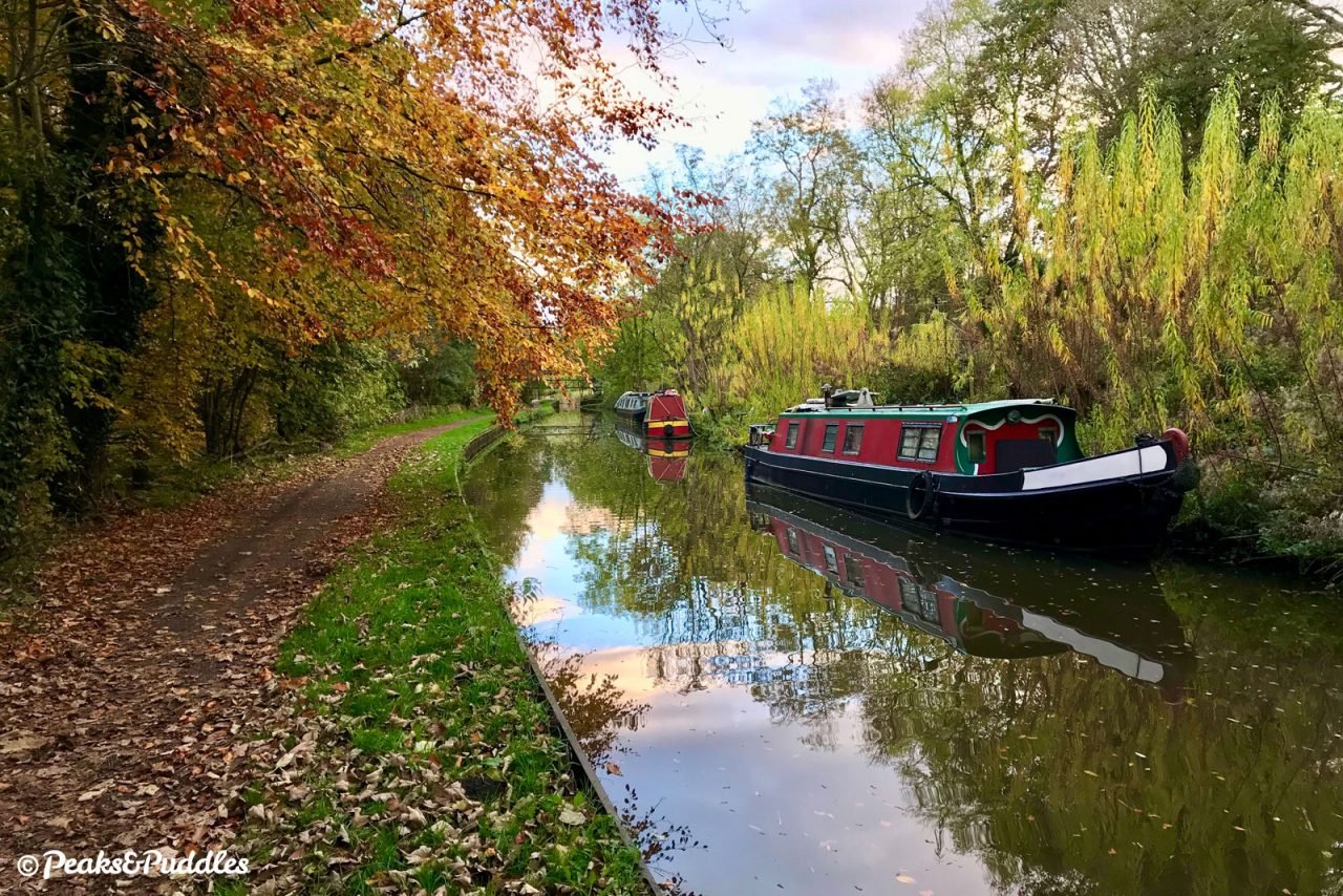

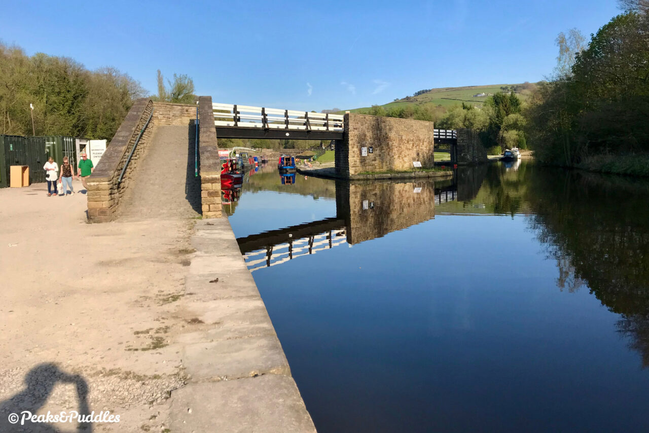
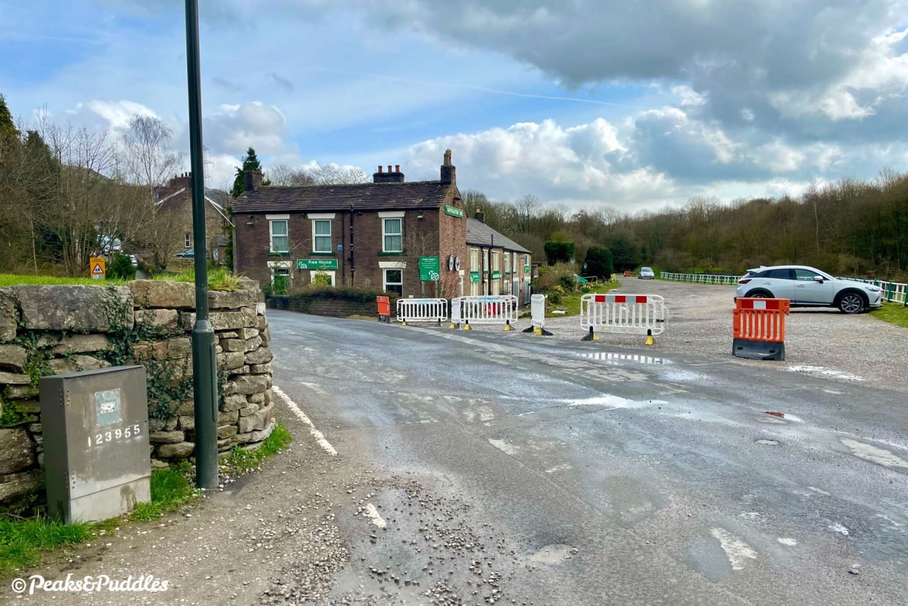
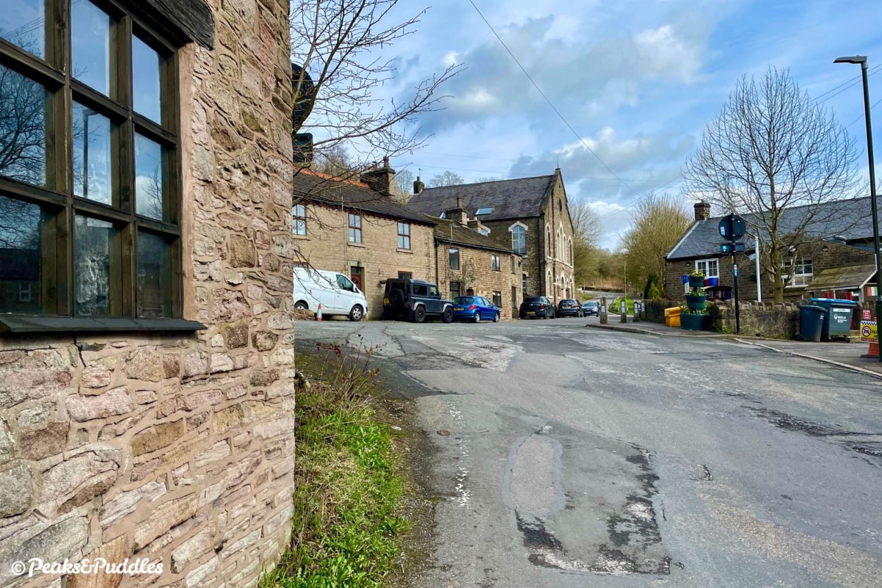
- Entering Bugsworth Basin, the surface turns to looser, coarser stone through the wharf area. Pass the reconstructed bridge and a small shop building, then the rows of moored narrowboats, to climb quickly and bumpily upwards over another small arm of the wharf. Approaching the Navigation Inn, take care crossing this lane as cars can speed through, then continue across the pub’s parking area to the start of the Peak Forest Tramway Trail.
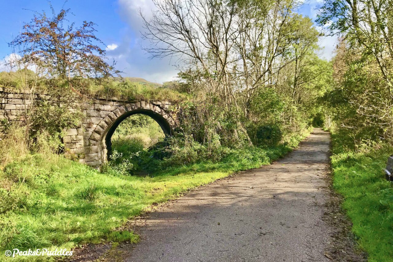
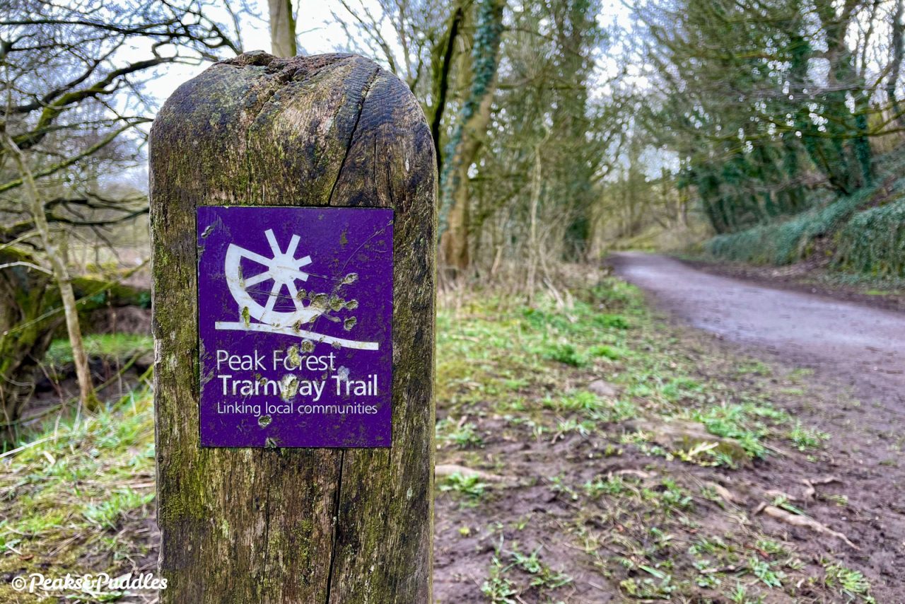
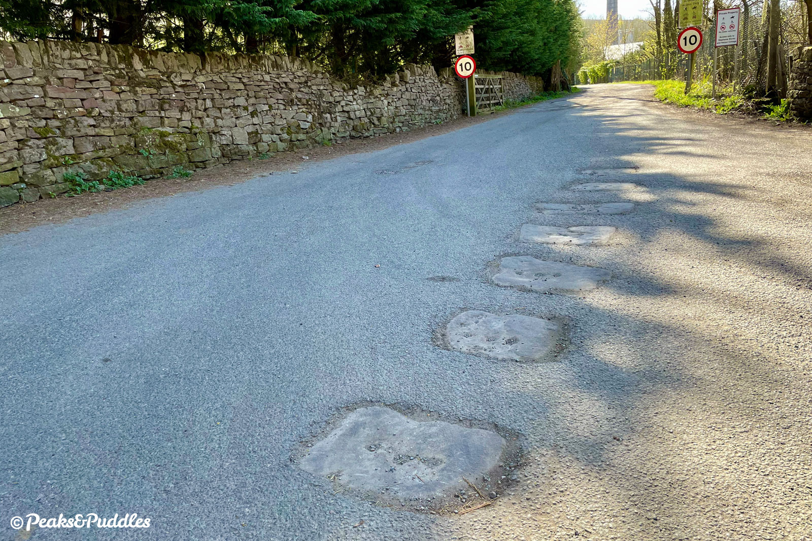
- Join the Tramway Trail, heading right, on tarmac at first and then compacted stone. Part-way along, you pass the impressive embankment and double skew-arch bridges of a tramway branch which veered north to a set of lime kilns. Continue through an a-frame barrier and the sudden bleak industrial yard of Stephanie (Whitehall) Works, snaking between the many potholes, until you reach a minor lane.
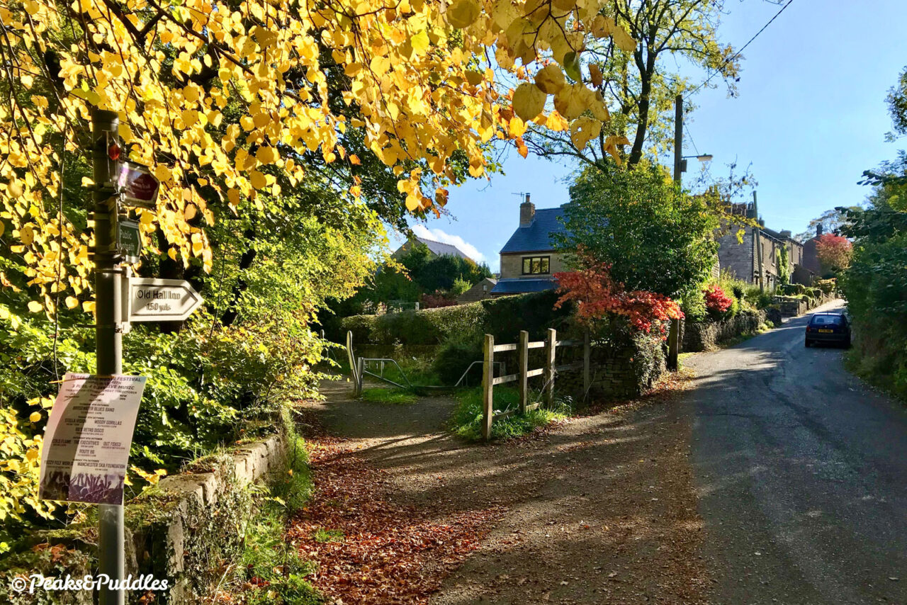
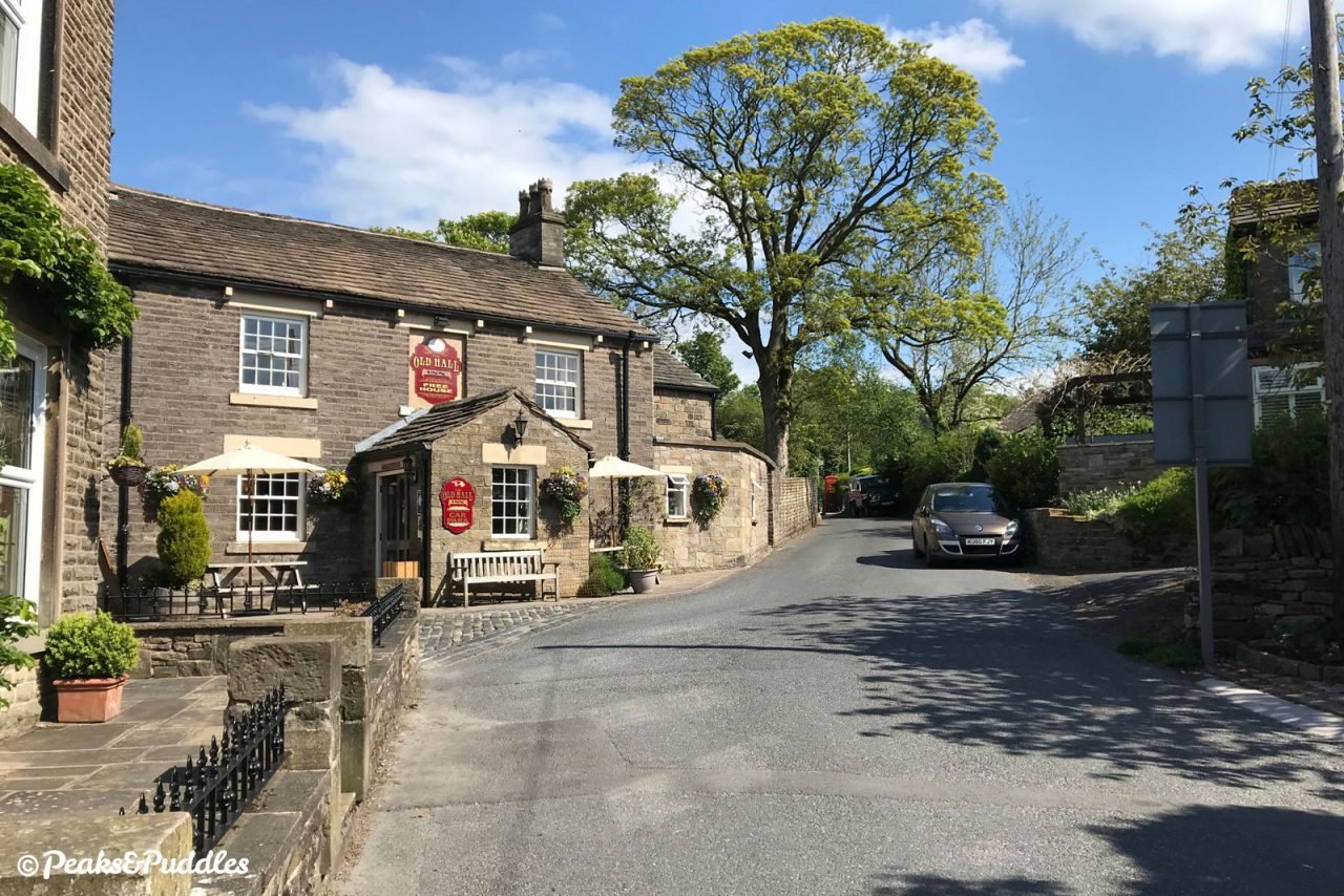
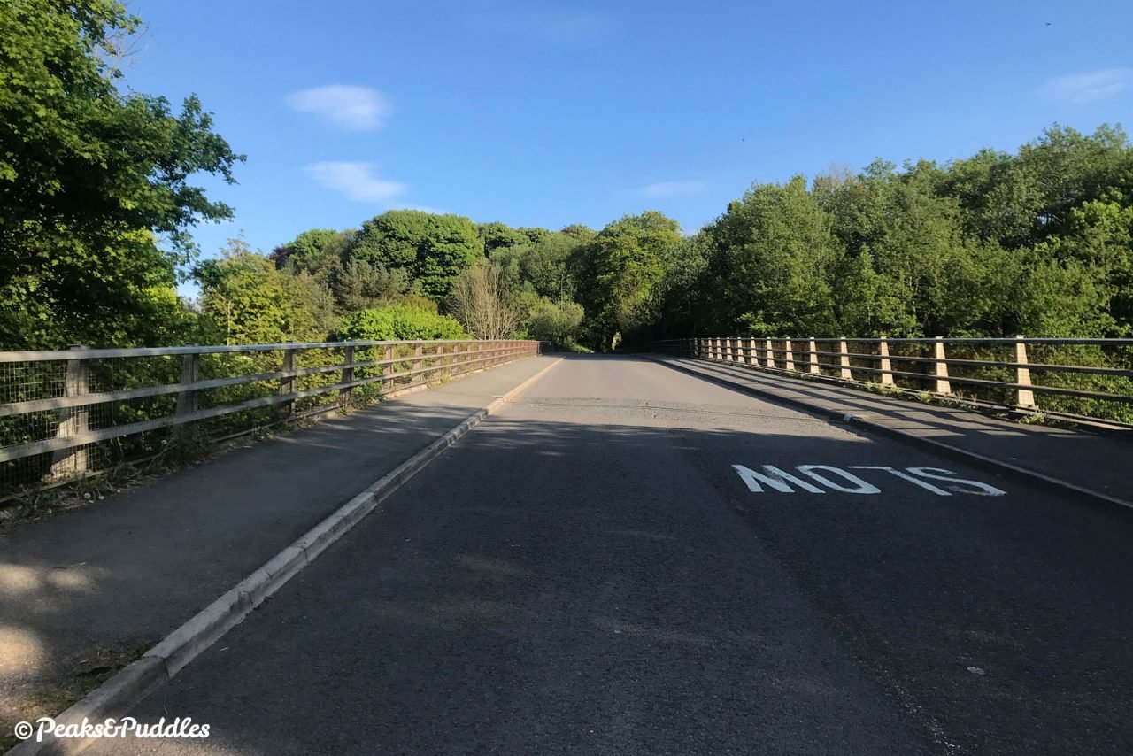
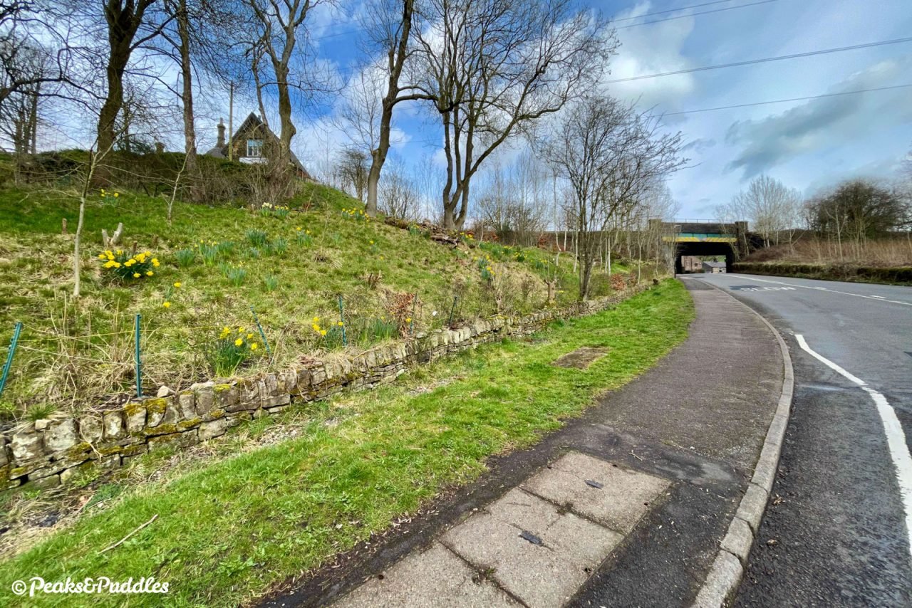
- Turn right and begin to climb immediately into the popular little honeypot of Whitehough, huddled around The Old Hall Inn. At the junction, with the pub’s separate Paper Mill Inn ahead, turn right and climb again on Whitehough Head Lane. This is a wide and generally quiet road with plenty of space to take your time pedalling, as you soon leave the hamlet and climb over the Chapel Bypass on a ramped bridge. Continue all the way up, over a couple of humps, until the road eventually starts to veer left.
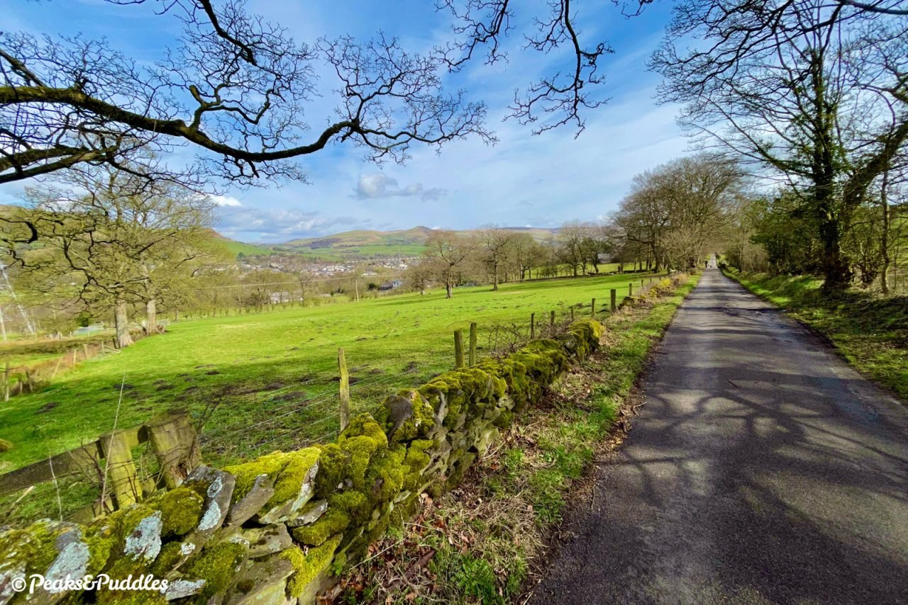
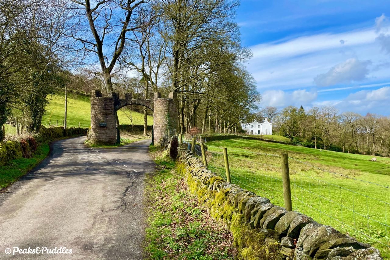
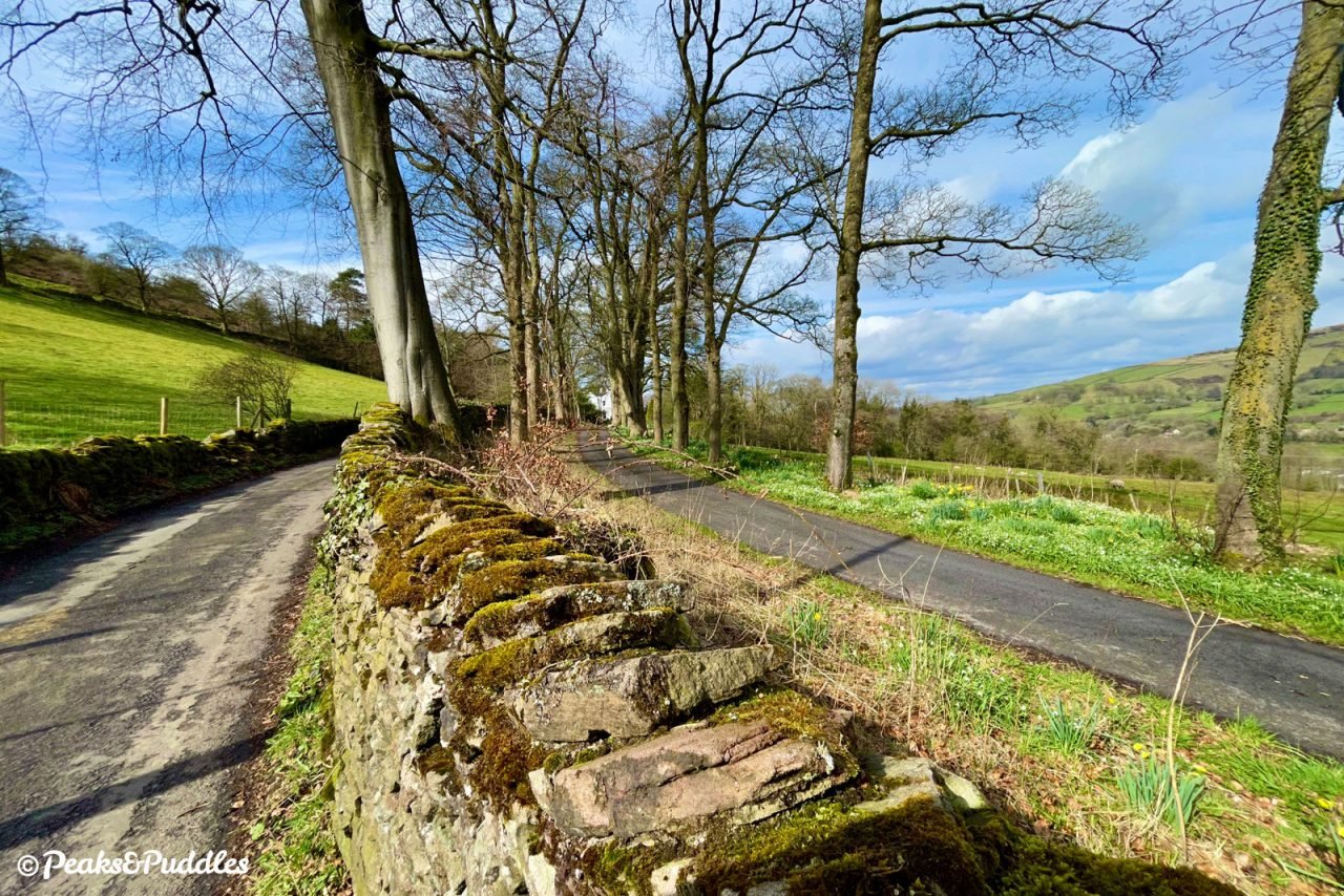
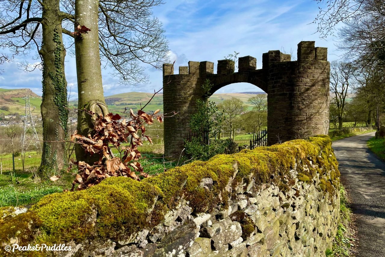
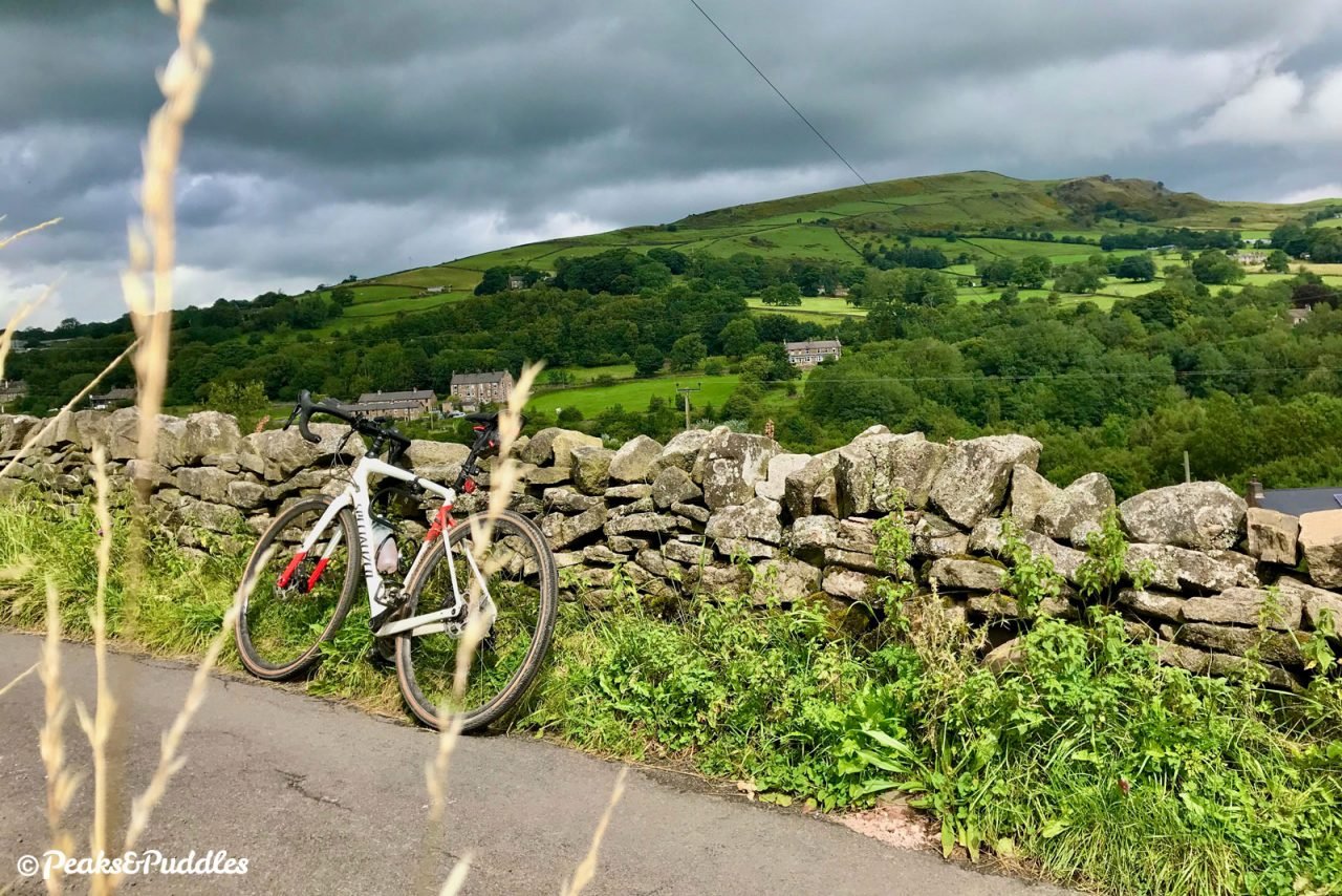
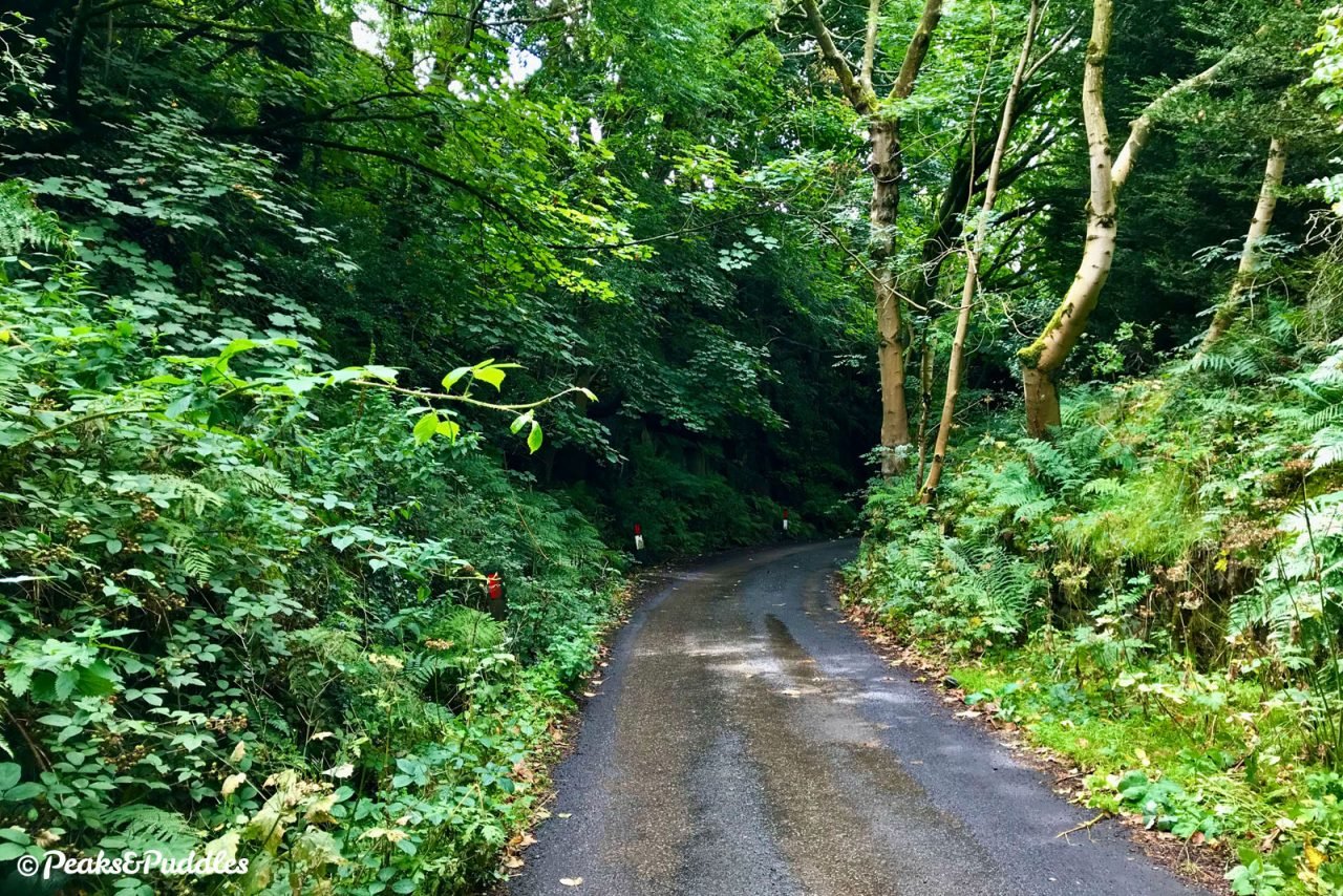
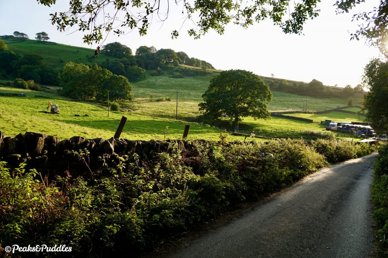
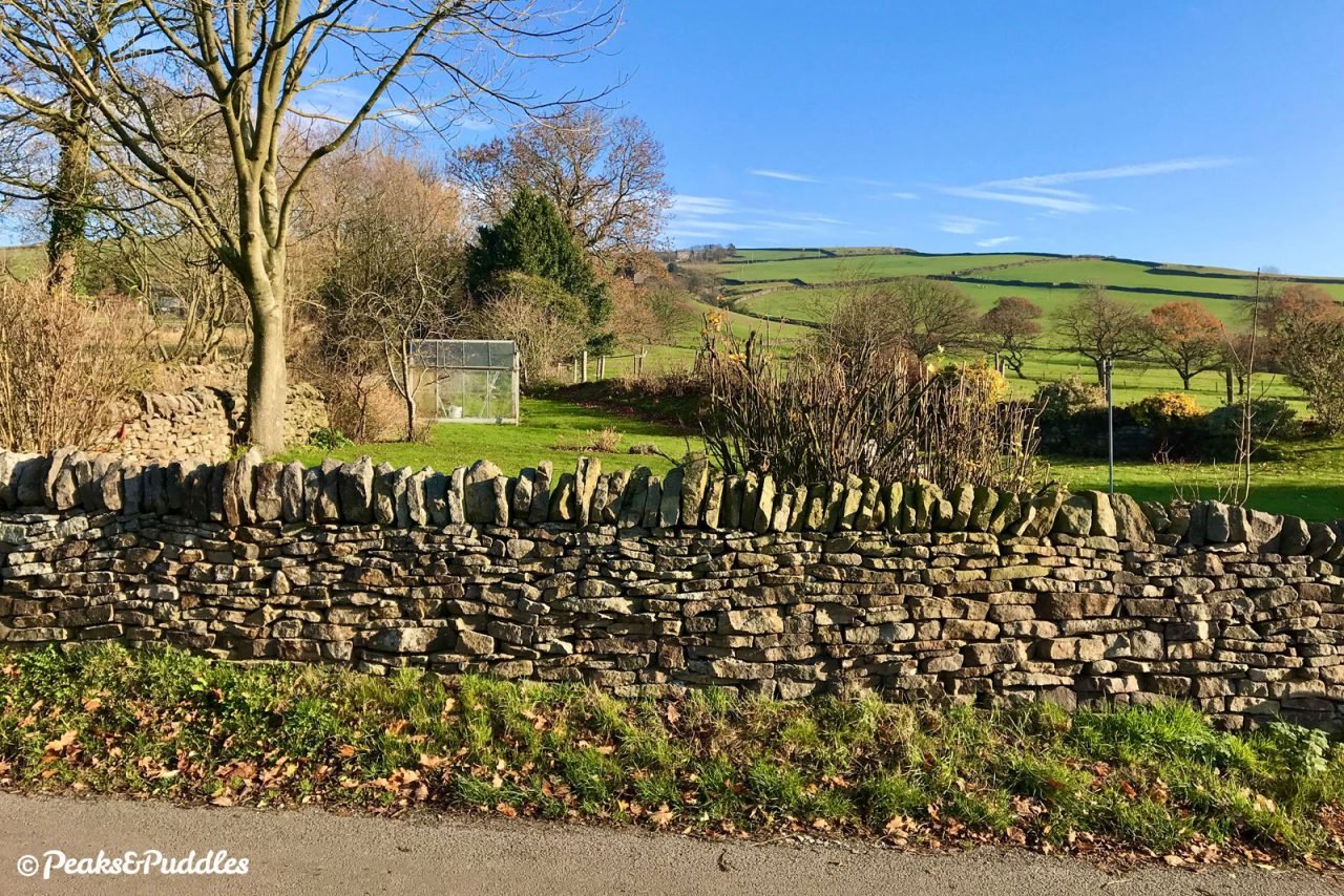
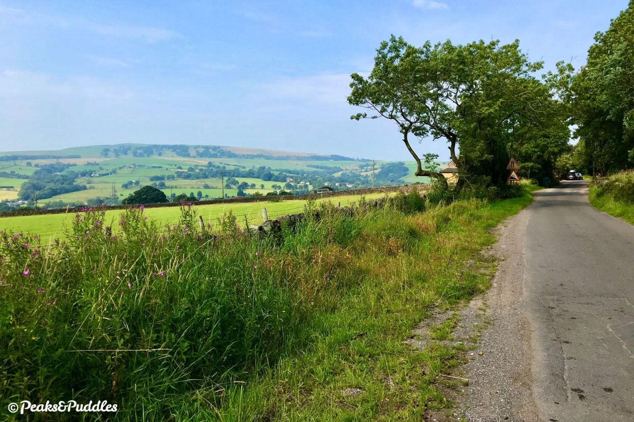
- At this bend, turn right into Back Eccles Lane, signposted as a single track road. Follow this narrow lane as it bends left and then, at a minor crossroads, with the side of Eccles Pike impressively ahead, continue right. A gorgeous, long, tree-lined lane now opens up, made all the more impressive by the trees on the right framing views over Chinley to the swirling peak of Chinley Churn and Cracken Edge. An unusual castellated entrance arch comes into view ahead, then the crisp white Georgian façade of Eccles House which it belongs to. The lane instead ducks timidly away to the left, getting ever narrower between stone walls, then cuts through the tiny hamlet of Eccles Fold. With the stunning views now opening out to include the peak of South Head, it then dives suddenly back down the hillside, the view ahead often obscured by vegetation, only to climb back up again to another nook known as Crist.
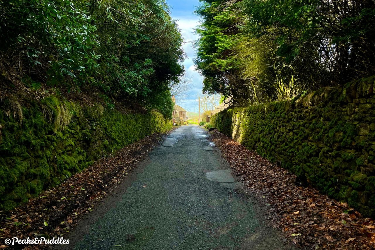
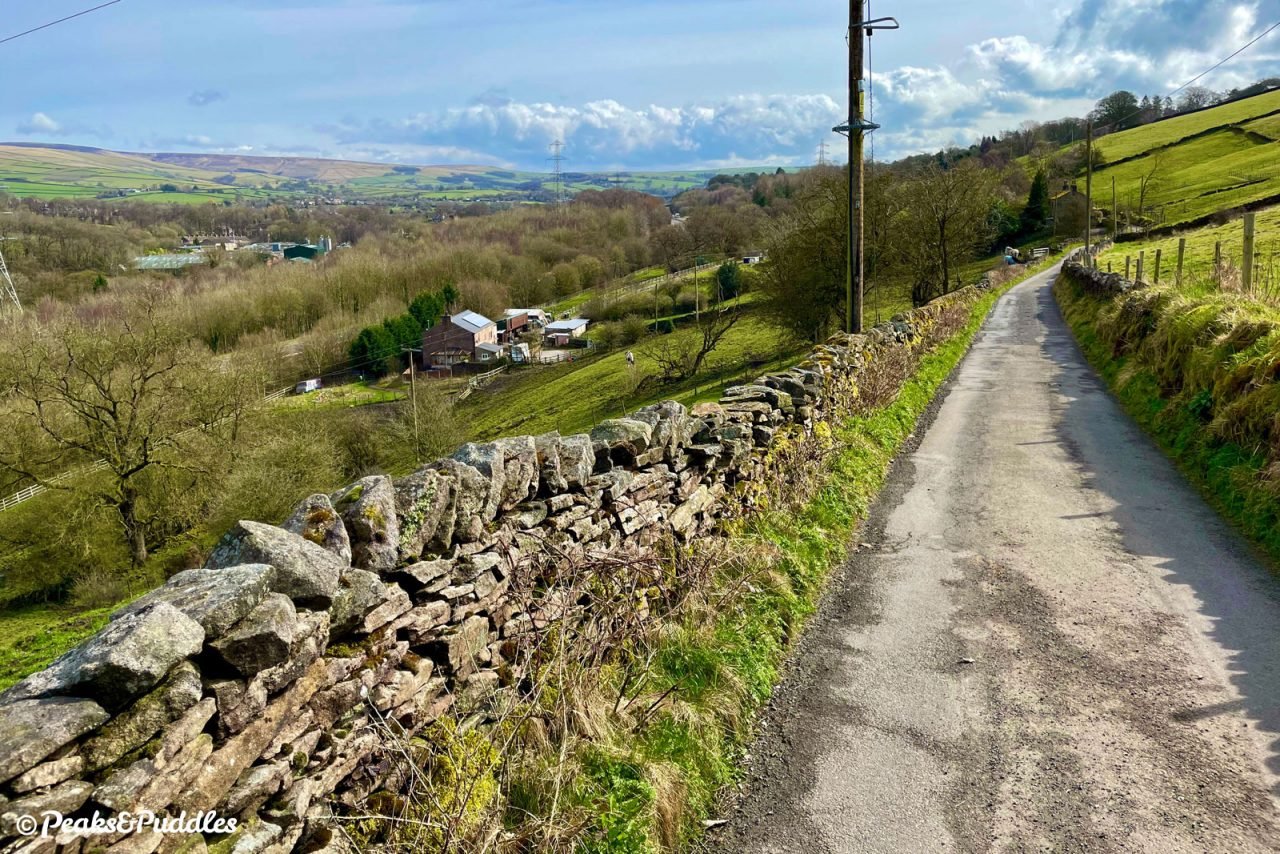
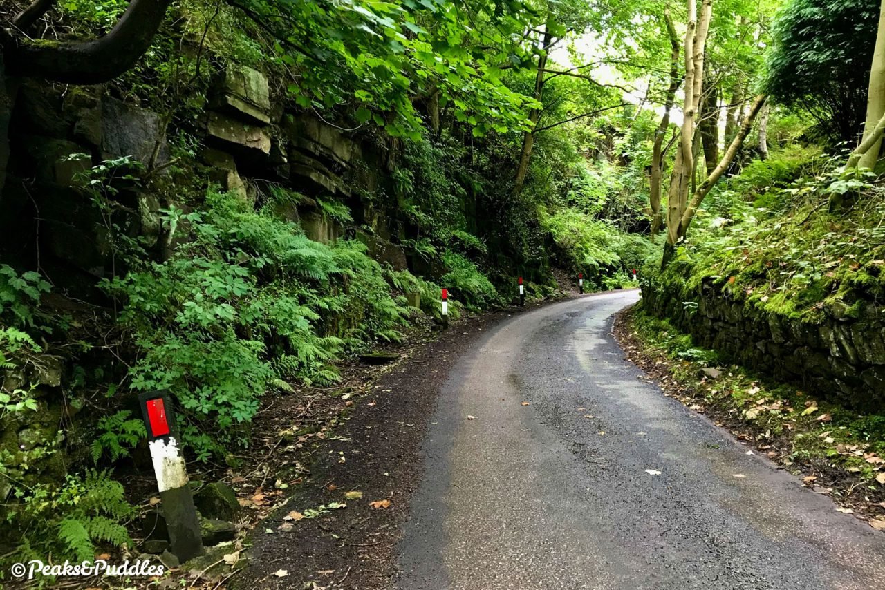
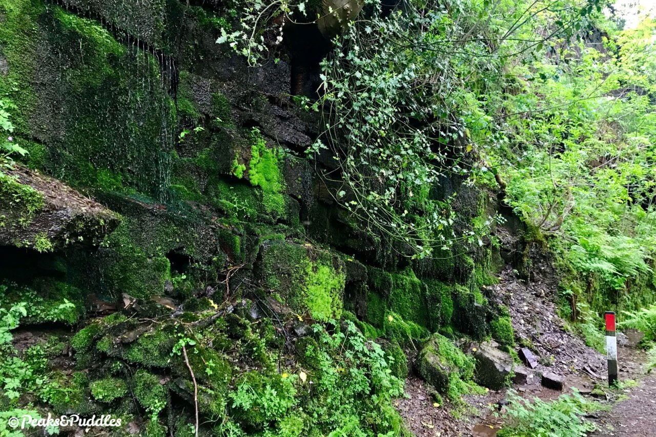
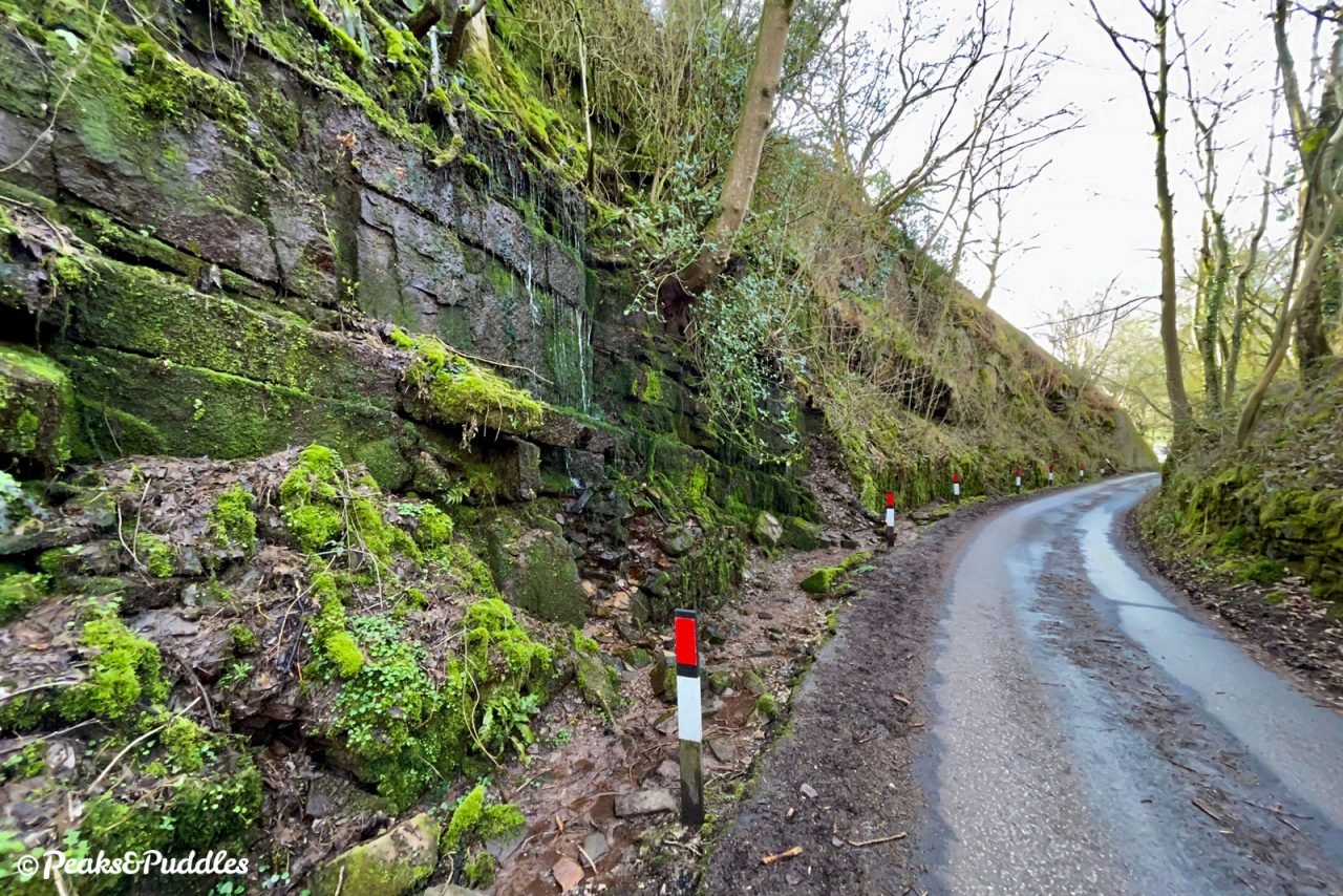
- Continue straight ahead between the cottages onto Western Lane. Little sign remains of how Crist Quarry and Barren Clough Quarry once plundered this area for its gritstone, used in the construction of the canal, wharves and tramway. It was carried by a long-lost branch of the Peak Forest Tramway which, remarkably, included a 144 metre-long tunnel. Though the quarries were partly infilled with spoil from the Chapel Bypass construction, the lane does now venture downhill into a wonderfully dramatic cutting with sheer stone sides; vertical gardens usually dripping with water, where it seems the only thing missing is a torch-lit “Jurassic Park” archway. The adventure is all-too-brief as the lane drops downhill further, then takes a right followed by a very, very sharp left into a long row of houses overlooking sports fields; the other half of Buxworth. At the end, the lane turns downhill, to a particularly sharp right bend taking you back out over the Chapel Bypass for a second time. The hill leads down Brookside back to Bugsworth Basin, the first half of this figure-of-eight complete.
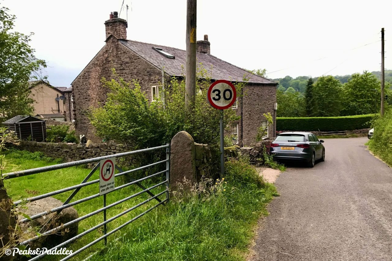
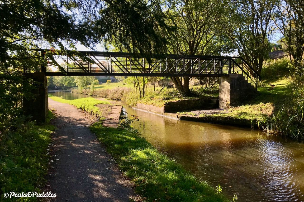
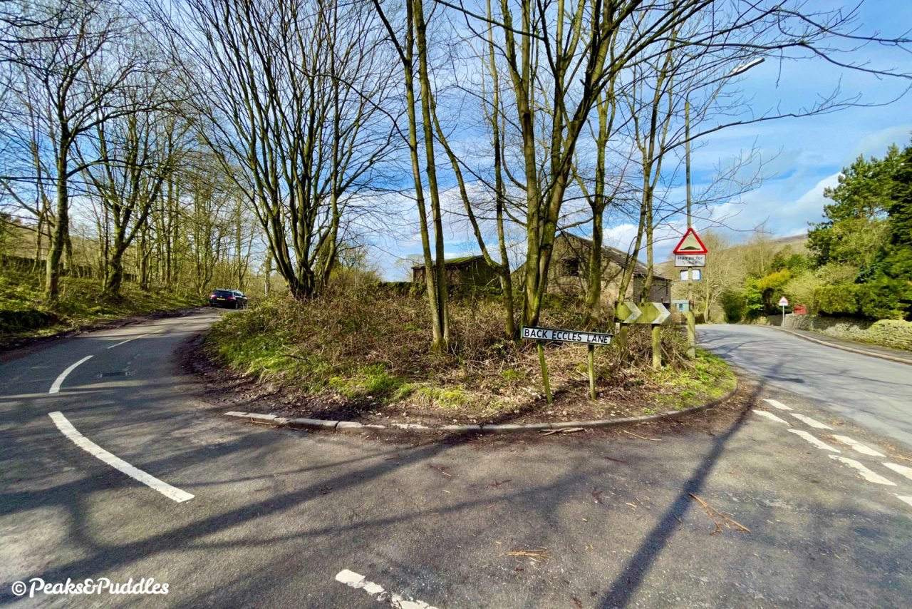
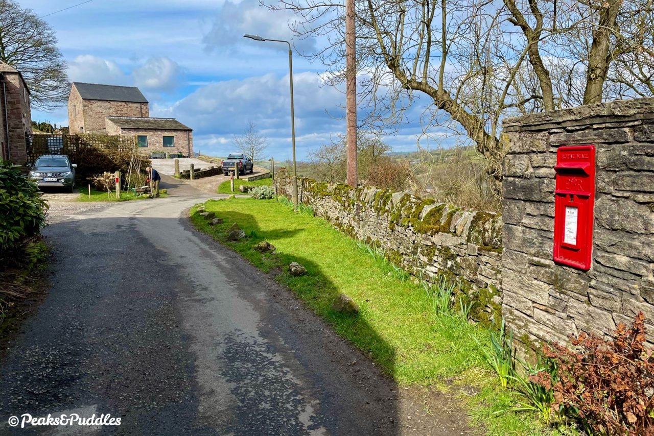
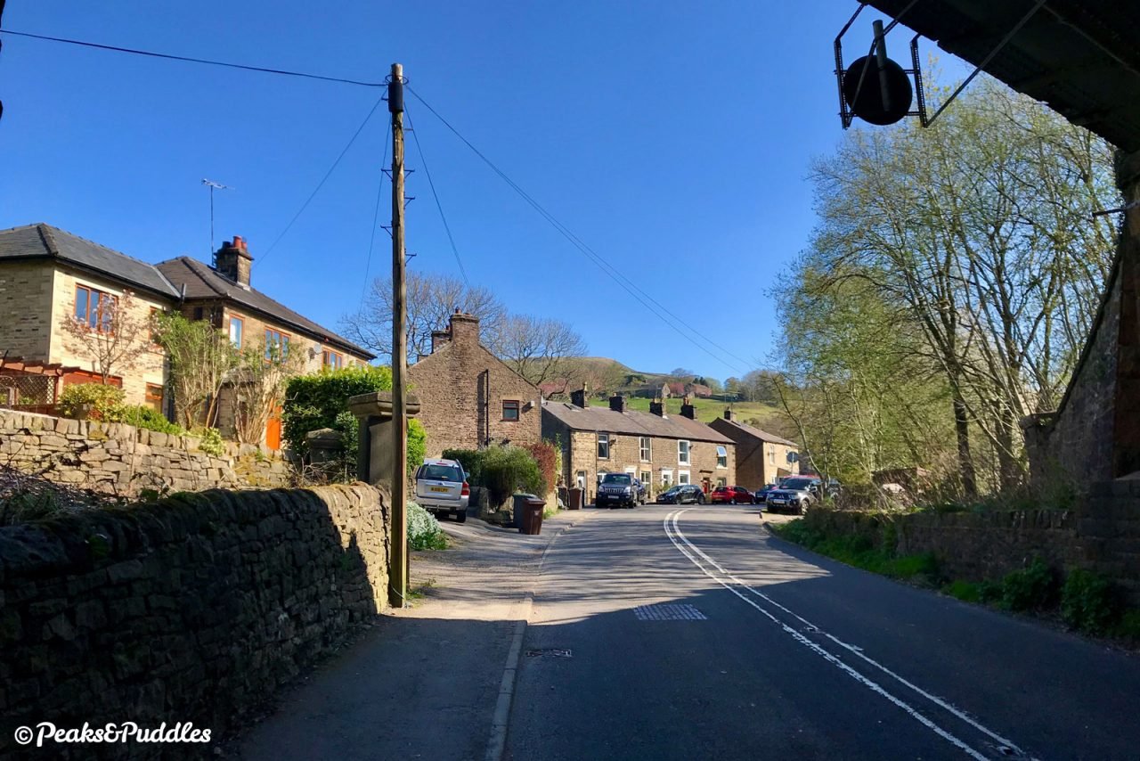
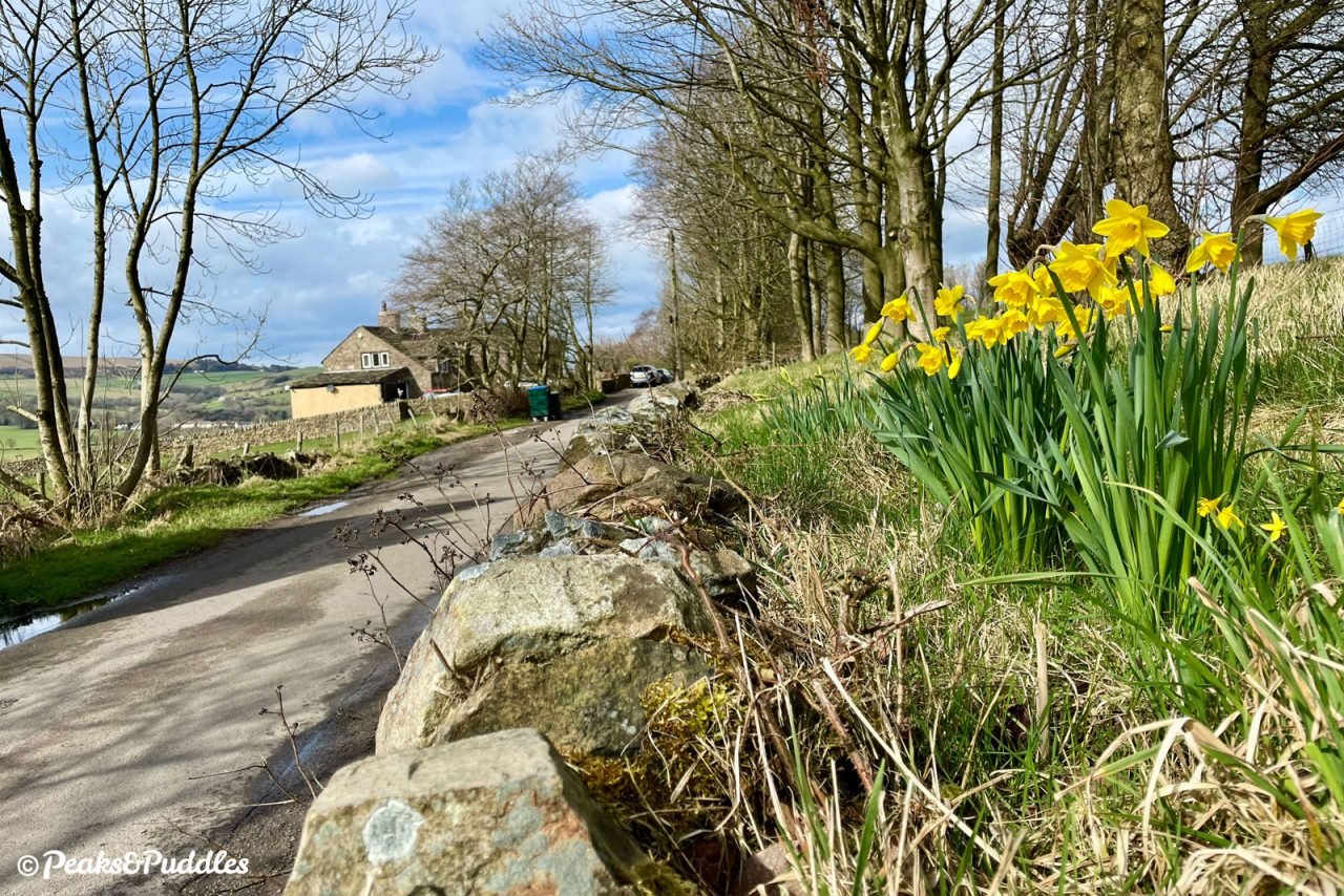
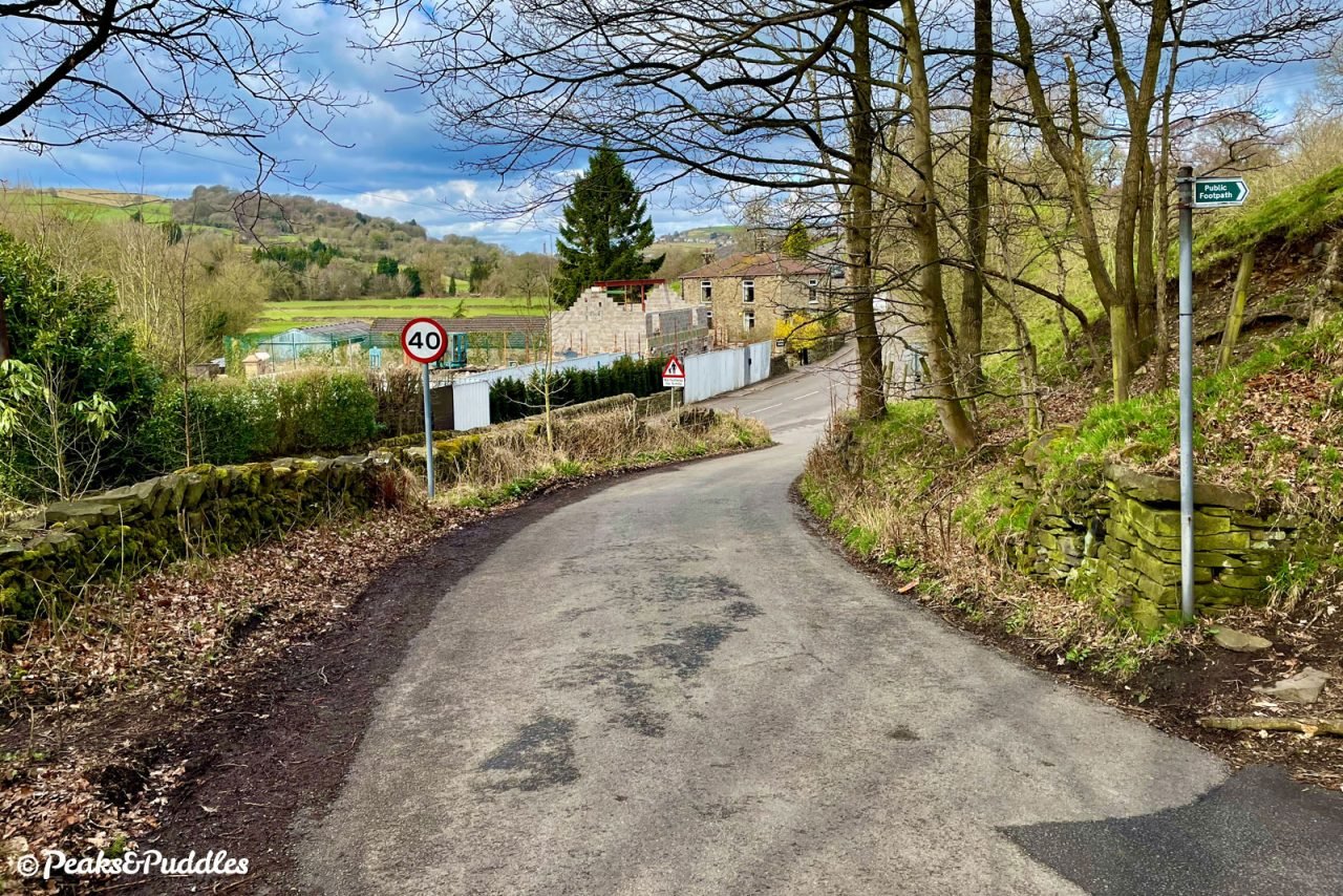
- Dip straight through the basin area and follow the road up to the junction with the B6062, where the tramway branch seen earlier once crossed from the current primary school to the lime kilns. Turn right and climb briefly over the humps on Station Road. The former Buxworth station building can be seen high up on the left, before finishing the climb to Brierley Green under two railway bridges. The Hope Valley line here once had four tracks; today only the first bridge is used by trains. After the first terrace of houses, turn left into Dolly Lane, signposted with Route 68 stickers.
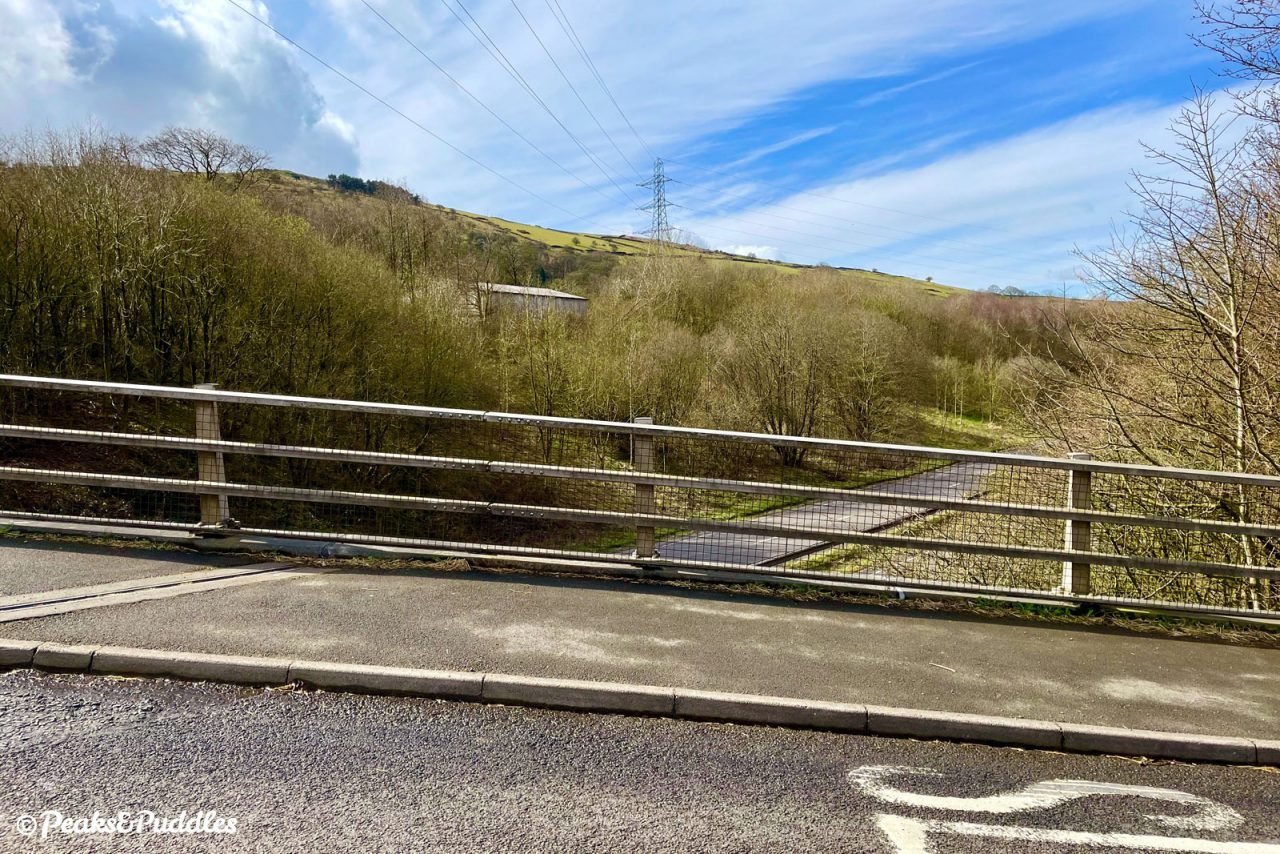
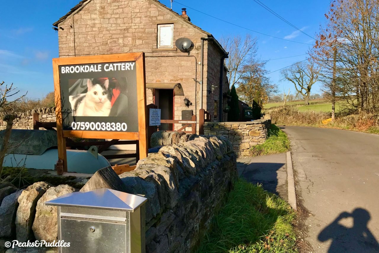
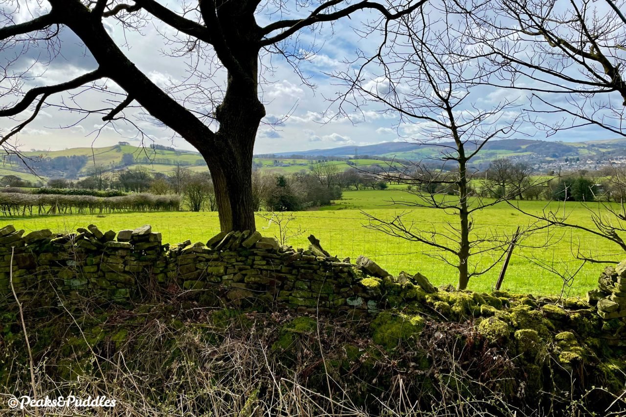
- Though no longer officially on the National Cycle Network, this part of the Pennine Cycleway route remains incredibly popular thanks to its rewarding climbs, dips and descents — and the added bonus of avoiding the hostile A6 or narrow canal. The initial climb leading up beyond the houses can take you by surprise at first, seeming to continue going just as you think you’re near the top. Eventually reaching something of a summit beside stone cottages and a cattery, you’re still very much in the lower folds of Chinley Churn but , where Dolly Pit once stood above you, views now open out over Whaley Bridge and the Upper Goyt Valley beyond. After the next house at Green Head, the gradual tumble back down the hillside begins with a very steep and narrow drop, down to a tight right-hand bend between more houses. Gentler rises and troughs continue until you descend back down under the railway line at Gowhole, where it’s hard to believe a huge complex of freight sidings and a locomotive turntable once occupied the wooded green land to the left.
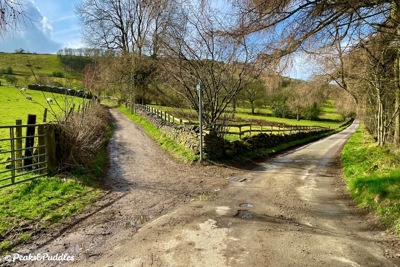
- A sharp, blind, right bend is Dolly’s final flourish before you drop again to join Marsh Lane. Turning left onto this slightly busier road, you need only briefly cross the narrow bridge over the River Goyt and then climb Station Road up into Furness Vale to find yourself back at the starting point — the canal bridge is just before the level crossing.
Found this guide helpful?
Please consider chipping in the price of a coffee to help pay the bills and support my work. Or become a Peaks & Puddles Plus supporter to get access to exclusive routes and pages in return.
Further Reading

From Bugsworth to Manchester: A History of the Limestone Trail by Ian Littlechilds and Phil Page
Charting the canal’s modern day path from country to city centre, across 96 pages of photographs, history and insights.

The Peak Forest Tramway by D. Ripley
Almost a brief as the current trail itself, this 27-page booklet is nevertheless crammed full of detail on the route right out to Dove Holes and how it was worked with a handful of rare photographs, diagrams and route plans to bring the line to life. (A newer edition is also available.)

The Peak Forest Canal and Railway: An Engineering and Business History by Graham Boyes and Brian Lamb
Covering not just the full length of the canal from Ashton-under-Lyne out to the High Peak but also its (two) tramways, this essential history of the route focuses quite heavily (and wordily) on the operational and business side of things, but is still well worth tracking down for anyone inspired by the endeavour and keen to delve deeper, with plenty of interesting photos and plans.
- Hello Dolly Lane — Furness Vale History Society website
A fantastically interesting and thorough account of the history of the area around Dolly Lane, with a map and photos compiled by the local history society.
Original photography, words and design by Anthony Sheridan unless indicated otherwise. Found this guide helpful? Buy me a coffee to help keep the wheels turning!
The all-important disclaimer: While great care and attention has been put into gathering these routes, ensuring details are accurate and determining their suitability, all information should be used as a guide only and is not a replacement for using your own judgement or research when setting out on new adventures. Peaks & Puddles/the author cannot be held responsible for any issues that may arise from the riders own decision to ride a section of indicated route.
Always ensure your equipment is safe and legal for use and that you are well prepared, carrying everything necessary including access to a good map. Follow the Highway Code and the Countryside Code at all times. Respect the landscape, the wildlife and the people you encounter. And after all that, have fun!