Continuing the celebration of local leisure cycling highlights on the western Peak District borders, part two takes us from Goyt’s Moss to Lyme, with some flatter inspiration for this year’s rides along the way thanks to Monsal Trail and the Cheshire lanes.
- Start with an introduction to the A to Z and the cycling landmarks from A to F (Ashopton to Fernilee) here
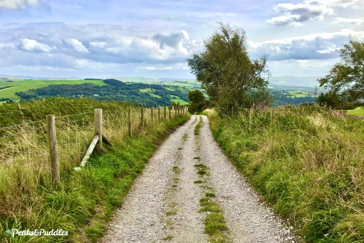
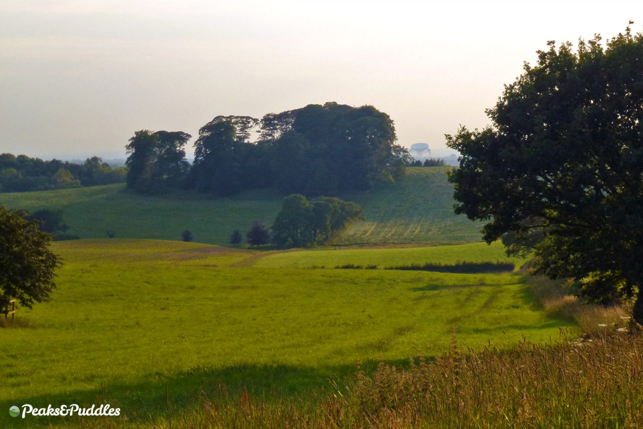
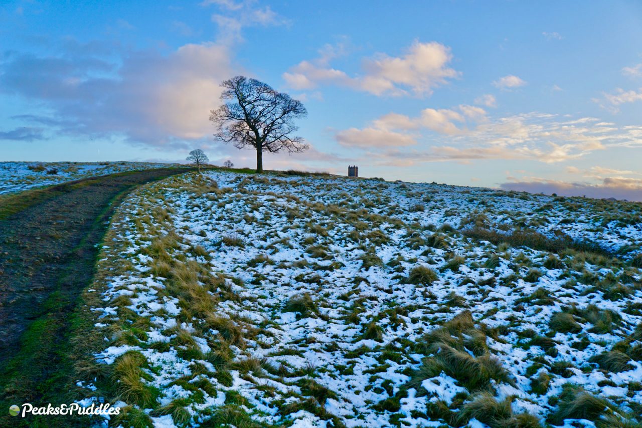
G is for… Goyt’s Moss
- Featured route: Cat & Fiddle Climbs
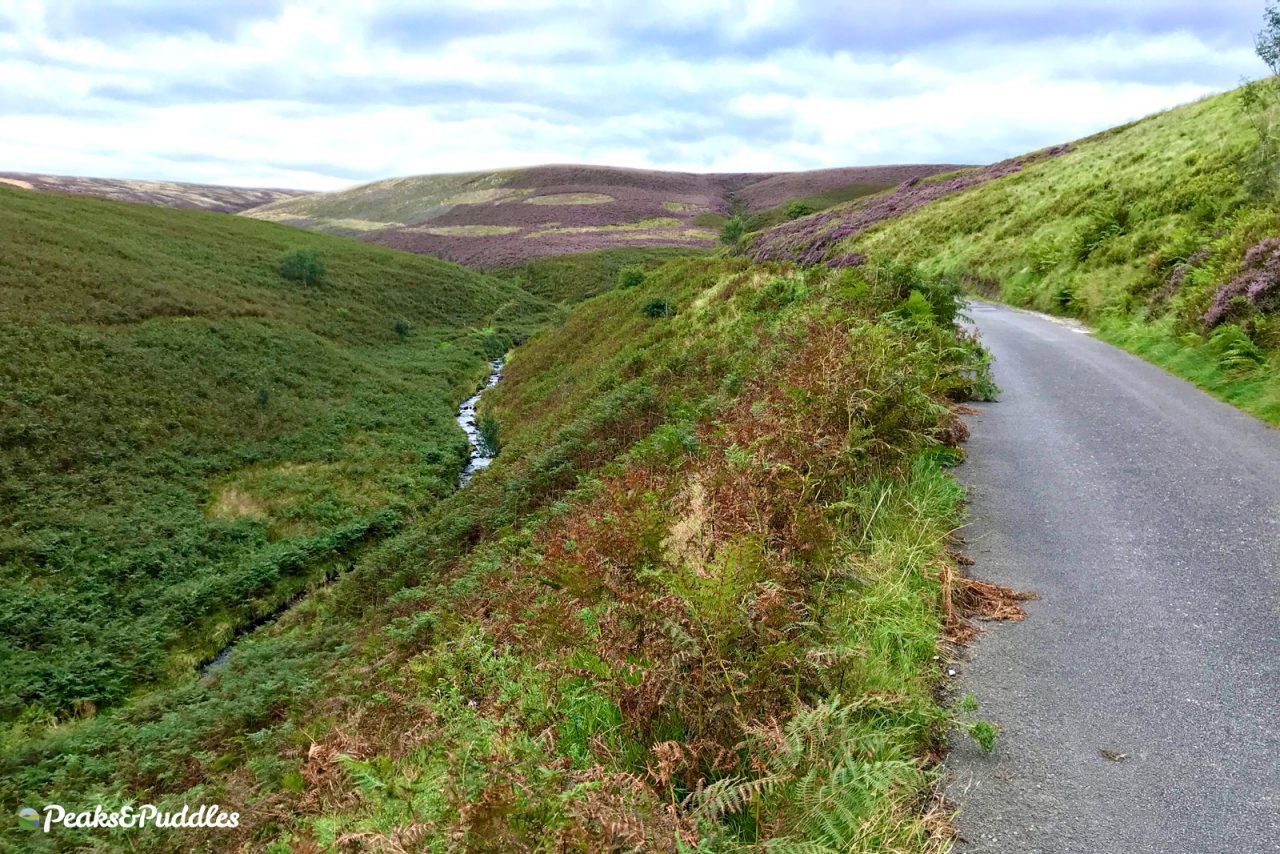
A natural continuation of the F for Fernilee, climbing further up the Upper Goyt Valley sees you slice into this epic landscape by way of the glorious road to Derbyshire Bridge.
From Errwood Reservoir the road curves gradually up the valley, above the gushing source of the River Goyt, hugged by stunning moors which turn purple in late summer.
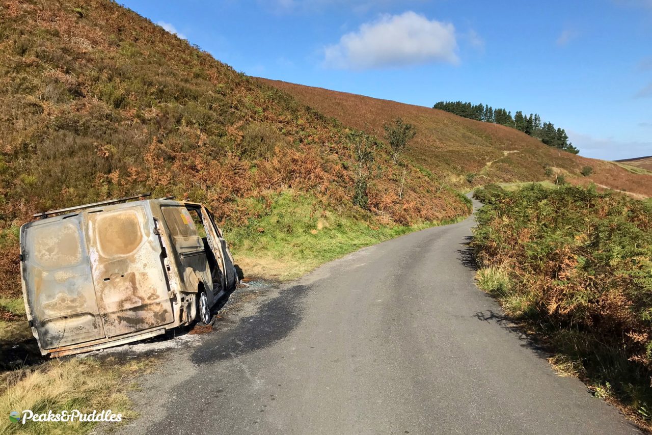
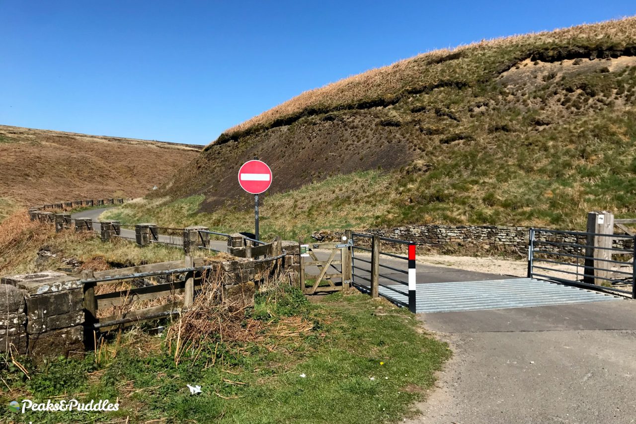
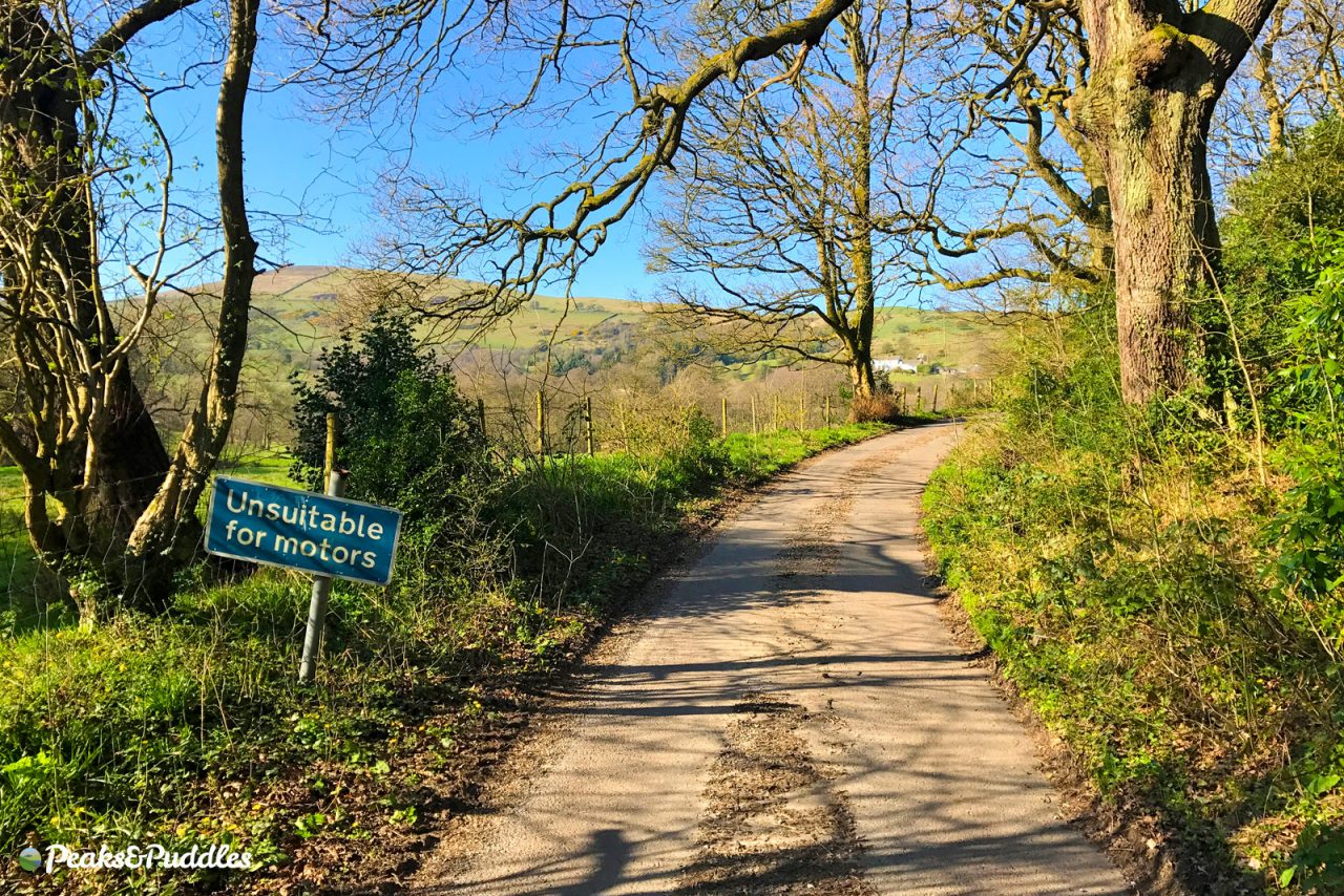
Sadly, this breathtaking place to ride — potentially one of the best cycling roads in the country, let alone the Peak District National Park — is currently rather spoilt by motor vehicles (or rather a minority of their drivers) and, more than that, a one-way system which fails to allow cycling its full potential. Once you hit the top, there’s no choice but a long and fairly intimidating loop back around without ignoring the “No Entry” signs.
It hasn’t always been this way. Only in 1980 were bikes, along with all other vehicles, legally blocked from driving both ways. A petition to change this forty year old problem and reserve the entire upper stretch as a traffic-free two-way route has gained over 1,600 signatures and will be heading to Derbyshire County Council soon.
- Find on OpenStreetMap
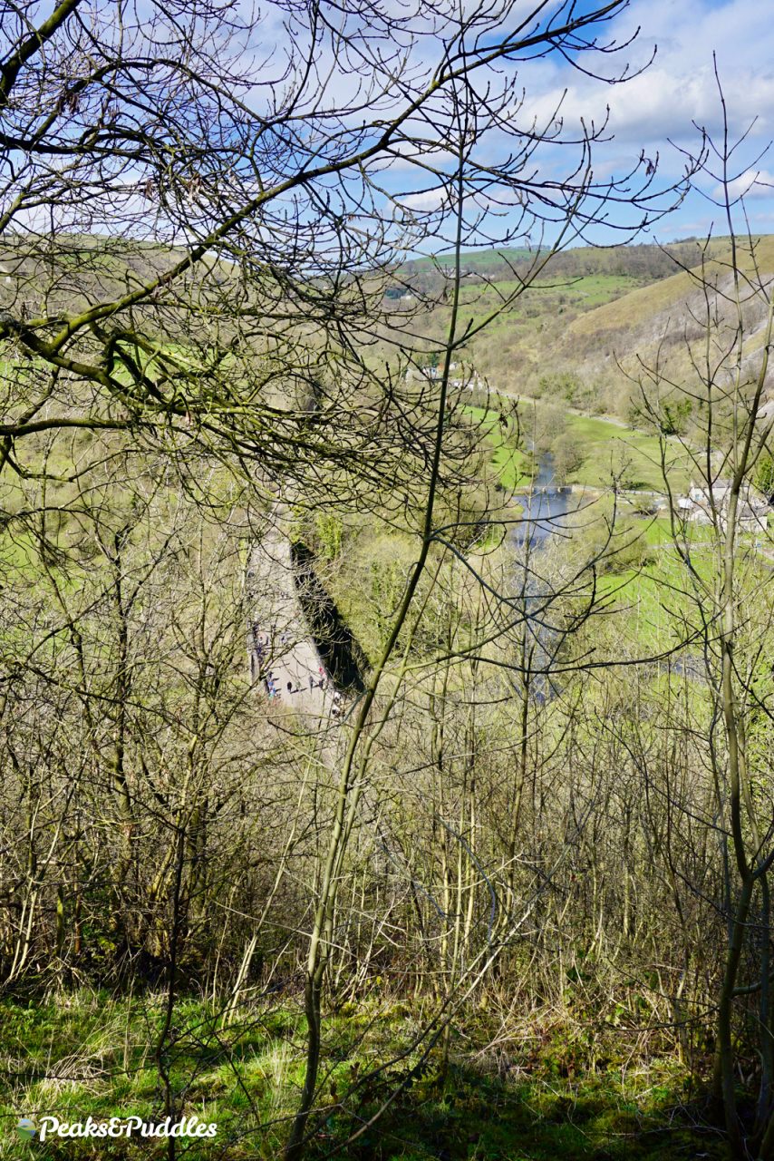
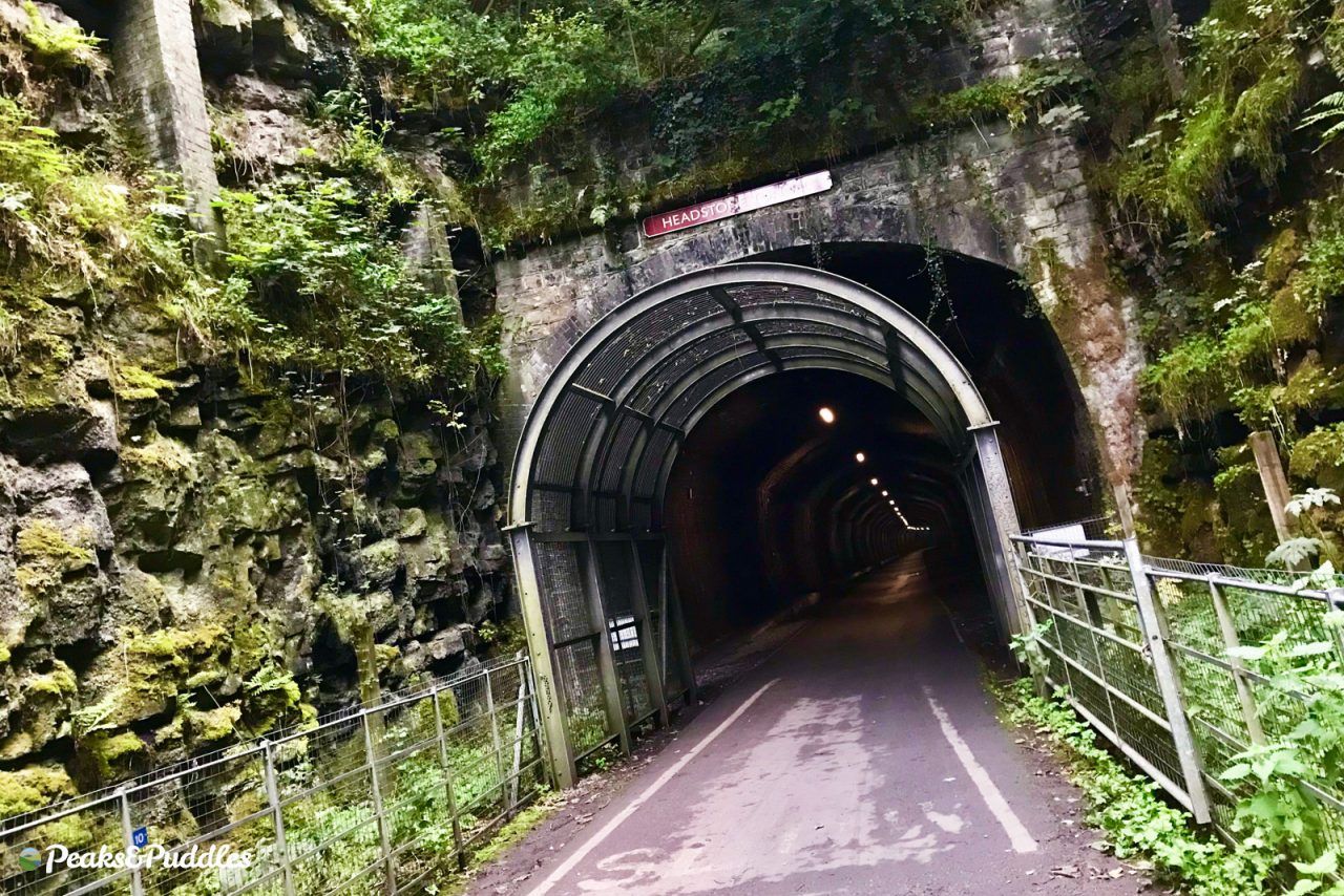
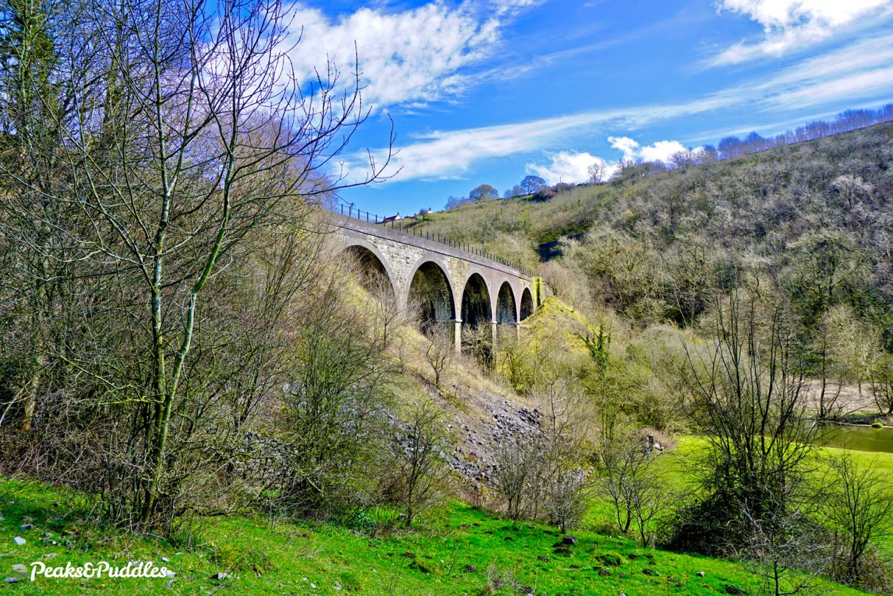
H is for… Headstone Tunnel and Viaduct
- Featured route: Monsal Trail
It’s remarkable to think just ten years ago you couldn’t walk or cycle through the Monsal Trail tunnels. Now you can pedal through this, the longest at 487 metres, and emerge straight out onto the 150 year-old viaduct above Monsal Dale. Despite often being called Monsal Head Viaduct, it’s officially Headstone Viaduct.
The entire trail from Great Longstone to Topley Pike is pure magic. Unfortunately, it’s now ten years since Derbyshire County Council last proposed making a short onward connection into Buxton and, unbelievably, in that time they’ve made no progress. The idea seems practically dead — why?! Imagine the health and wellbeing benefits for Buxton residents to access this level, traffic-free trail, and in return the tourism boost for the spa town to see a slice of the Monsal Trail’s average 2,000 visits per day in summer.
In the mean time, the best way to cycle there from the north, absolutely avoiding the nightmarish A6, is likely via Waterswallows Road and Wormhill — not exactly family-friendly either.
Otherwise, if you give in and load the bikes onto a car, the best tip for summer riding is to wait until the evening when a glorious calm falls upon the sometimes unpleasantly busy trail (and you might not have to pay for parking). Just remember some emergency lights — because the lighting in those long tunnels does get switched off at dusk!
- Find on OpenStreetMap
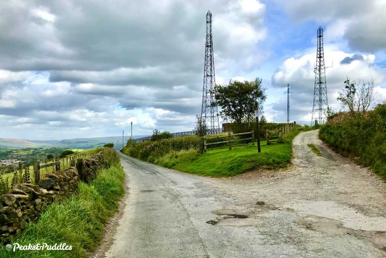
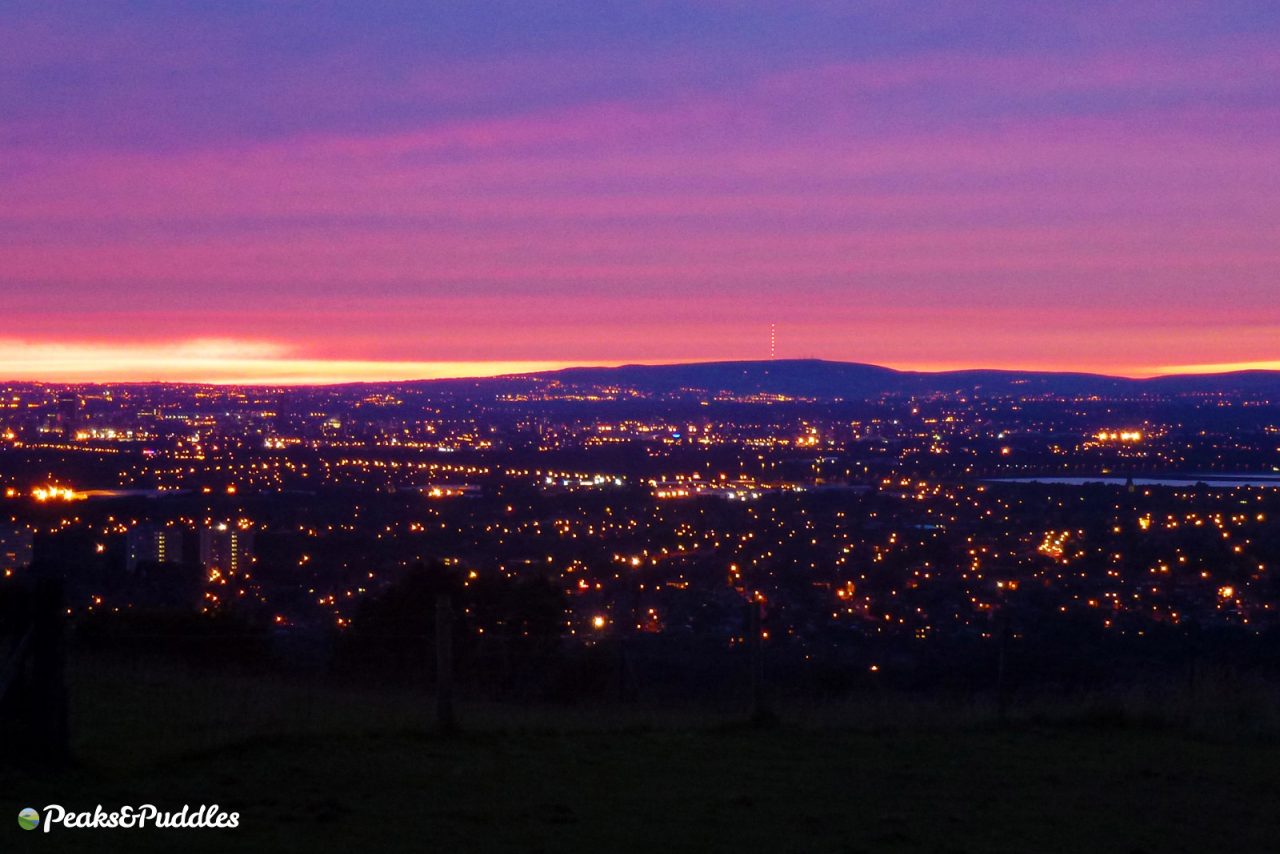
I is for… Idle Hill
- Featured route: Ways Beyond Werneth Low
Or Werneth Low to everyone else. But perhaps you didn’t know (I certainly didn’t!) that Idle Hill is in fact the name of the highest point of one of the highest hills in Greater Manchester (and perhaps the highest hill wholly within the conurbation?).
Marked by a cluster of communication masts, this “low” (meaning, obtusely, a hill in northern English) is accessible from no less than five directions, on the border of Stockport and Tameside.
Besides the city views, best seen from the Hyde War Memorial within the country park, the best bit for cycling is easily the gravelly Beacom Lane down to Compstall. Not a gate stands in your way as you drop and swing joyously down the hillside between fields and farms — just beware of the hedges and narrow bends obscuring that inevitable oncoming car until the last minute.
- Find on OpenStreetMap
J is for… Jodrell Bank
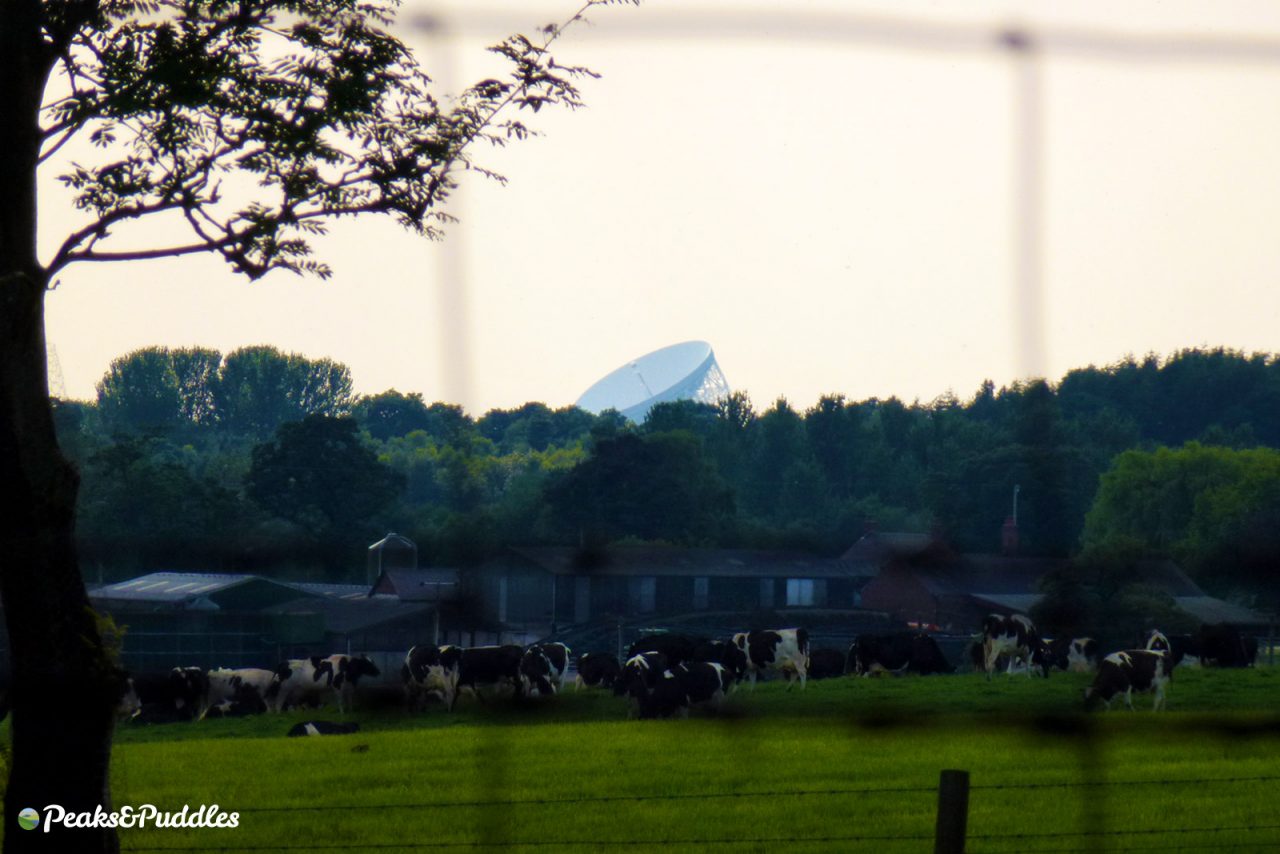
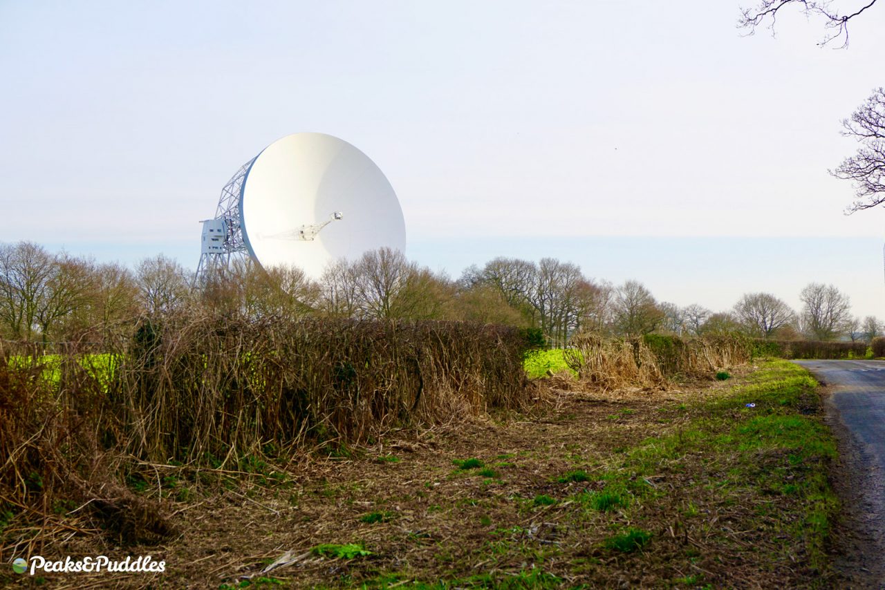
“Can you see it? What? Over there, on the horizon. What? Jodrell Bank! Where? That white thing. Oh yeah!”
So close and yet so far from the hills, the main landmark of this space observatory near Macclesfield is always lurking to tempt you from the Peak to the Cheshire plains. Depending on how far you ride and where you start from around here, it’ll forever remain that dot on the horizon or could be the landmark you’re heading right for the base of.
The Lovell Telescope is surrounded by a reasonable network of quiet Cheshire lanes, though access from the west is made difficult by the fast A535. Instead, branch off the Cheshire Cheese Loop or Regional Routes 71 (the Cheshire Cycleway) and 573 at Goostrey. I must admit I’ve never made it into the shadow of the telescope myself, so this is on my own to do list for a longer ride this year.
- Find on OpenStreetMap
K is for… Kettleshulme
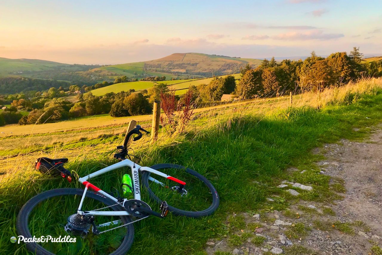
- Featured routes: Cat & Fiddle Climbs, Hidden Hills in High Peak, Goyt Valley Grinder
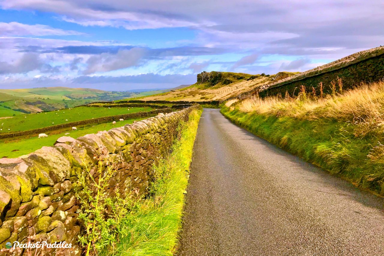
This gritstone village, sitting practically in the High Peak above Whaley Bridge but firmly in Cheshire’s borders, is where the county meets Derbyshire atop the Todd Brook of reservoir disaster infamy.
Avoid the hellishly intimidating 50mph B5470 at all costs and enjoy the convenient, mostly quiet, if very hilly, farm lanes which meet either side of Kettleshulme, including the landmark climb (or descent) past Windgather Rocks.
Start Lane to the north, meanwhile, is a relatively undiscovered assault course of ups, downs… and cobbles! One of the most fiendishly enjoyable roller coaster cycling circuits possible, to ride the whole thing in the most rewarding direction you’ll need to start from the east where it branches off Mudhurst Lane and Higher Lane.
If you can conquer these Cheshire hills, you’re easily ready for anything Derbyshire can throw at you.
- Find on OpenStreetMap
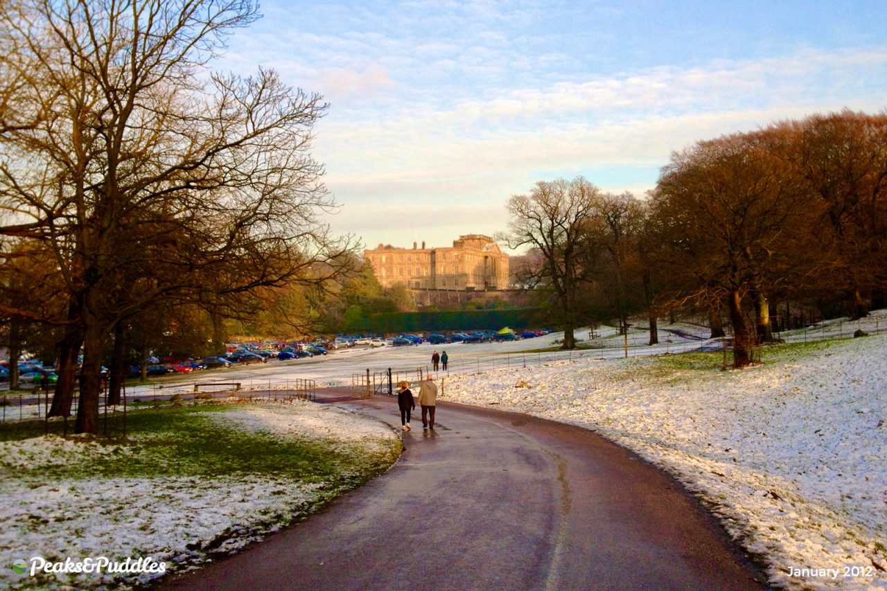
L is for… Lyme
- Featured routes: Lyme Loop, Lyme Lanes
It’s true this hugely popular National Trust property could do far more for cycling, both in access and facilities, but as a destination so close to town, with its historic landmarks, herds of animals and free entry by bike, let’s never take it for granted.
Lyme Park is both a gift and a curse for local cycling, though. Occupying such a huge tract of land, the only alternative routes to avoid its parkland on the Disley-Poynton axis are the A6 (no thanks!) or the mighty Bakestonedale Road (and part of the B5470 we just tried to avoid around Kettleshulme).
Inside the park, the main cross-section of tracks are all open to cycling and enjoyable in their own right, though this means the grassy path up to the Cage and the challenging climb up to Bowstones are off limits.
The downhill through Hase Bank Wood is always fun, and beautiful when the bluebells are out, while the best run will probably always be the return down the main drive to Disley, where you can coast for a solid mile barely having to turn a pedal.
- Find on OpenStreetMap