This route will be removed soon to become just an alternative of the main Lyme Loop Peaks & Puddles ride.
Discover the National Trust’s Lyme Park by bike on this circular loop from Marple, following mostly quiet lanes around High Lane and Higher Poynton to the real high-point: a 360-degree panorama over town and country from atop Marple Ridge.
Route details
- Distance
 12 miles / 19.3 km
 - Elevation Gain 300 m / 984 ft
- Time allow 1 ½ hours
- Difficulty
 Moderate
 - Terrain 8% Off-Road Path Traffic-free trails, towpaths & cycleways 87% Road Quieter lanes, sometimes brief busier roads 5% Unpaved Bumpier tracks & bridleways
- Suited to All Bikes Gravel Bikes Mountain Bikes
- Notes Road Bikes: just about suitable with wider tyres, but may still find the bumpy track up into Lyme tricky. Non-Standard Cycles: a-frame barriers, narrow gates restrict access.
- Suggested Start Marple SK6 6HU SJ 9495 8868
- Places Cheshire, Cheshire East, Disley, Greater Manchester, Hawk Green, High Lane, Higher Poynton, Lyme Park, Marple, Marpleridge, Poynton, Rose Hill, Stockport
- Attributes Accessible by train, Bridges, Car parking, Circular loop, Ideal for electric bikes, Industrial heritage, Pubs and cafés, Railways, Short sharp climbs, Towns and villages, Views of hills and peaks, Views of open countryside, Views of towns and cities
While the gentler Lyme Loop cycle route uses the Middlewood Way and Upper Peak Forest Canal to create a more traffic-free excursion, this version swaps trail and towpath for scenic, undulating lanes in the historic county of Cheshire. (And sadly, just a tiny bit of the unpleasant A6.)
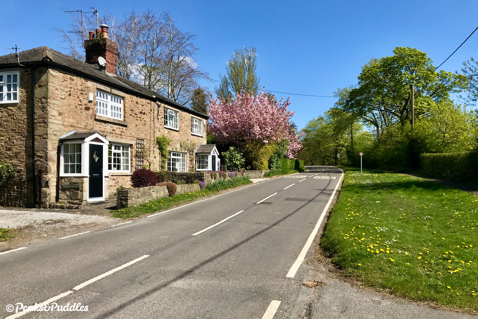
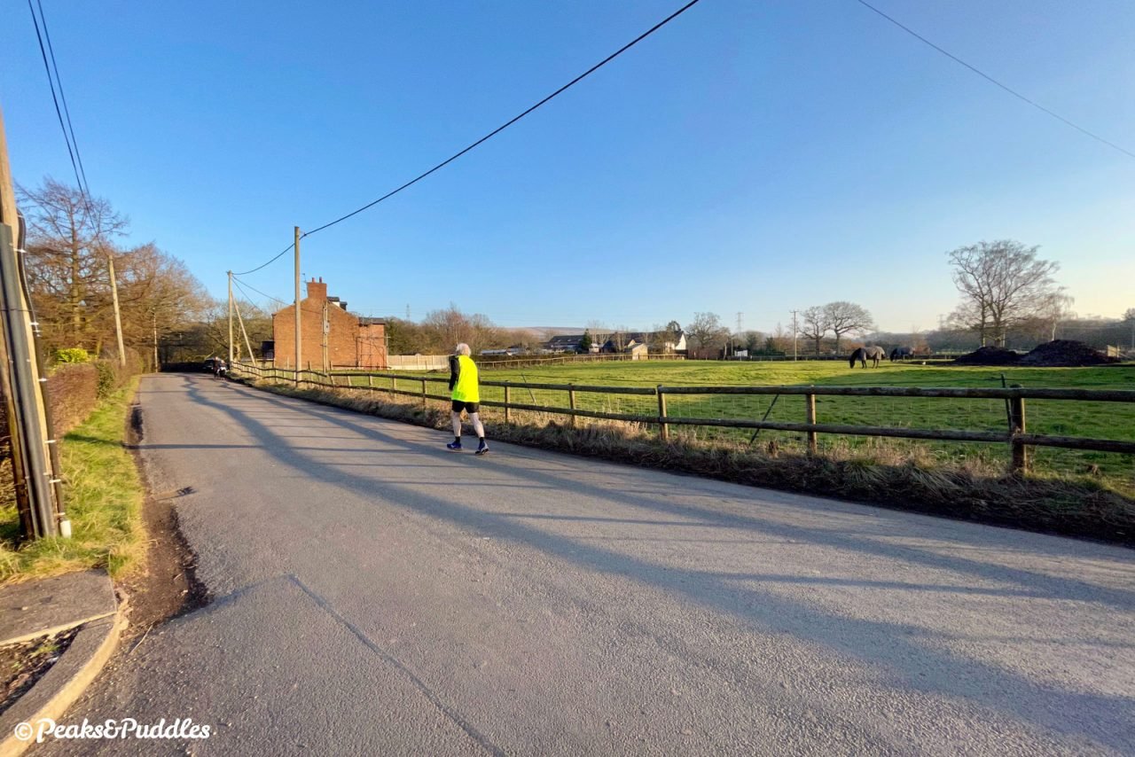
Leaving the railway trail out of Marple behind, it takes you on a remarkably rural-feeling quiet lane, well within the borough boundaries of Stockport, to a railway level crossing lost in time. Onwards along some favourite cycling lanes in the Poynton and Pott Shrigley area of Cheshire East, then up the slightly bumpy climb into Lyme itself.
After enjoying the sights of this historic deer park (more on its history here) and a beautiful mile-long descent to its front gate, a short hop straight over the busy road takes you out along the full length of The Ridge, as it’s known locally.
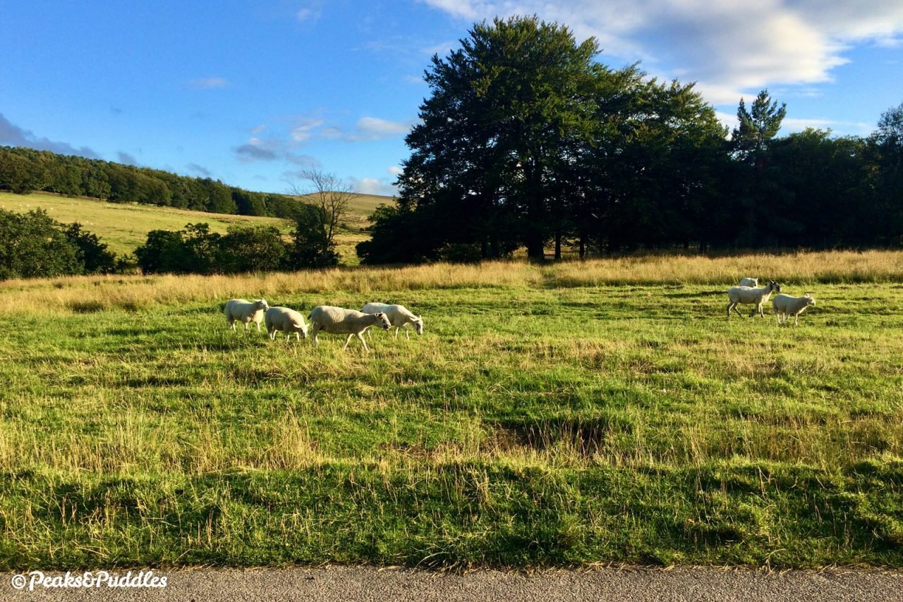
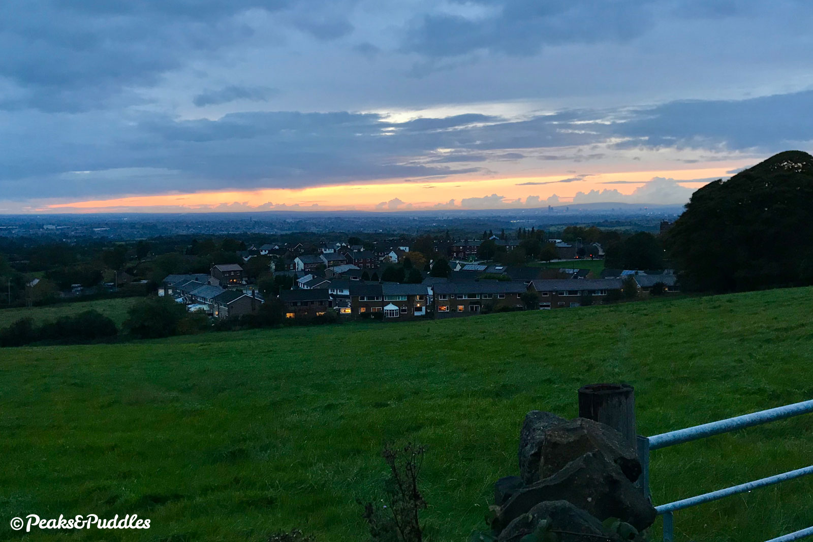
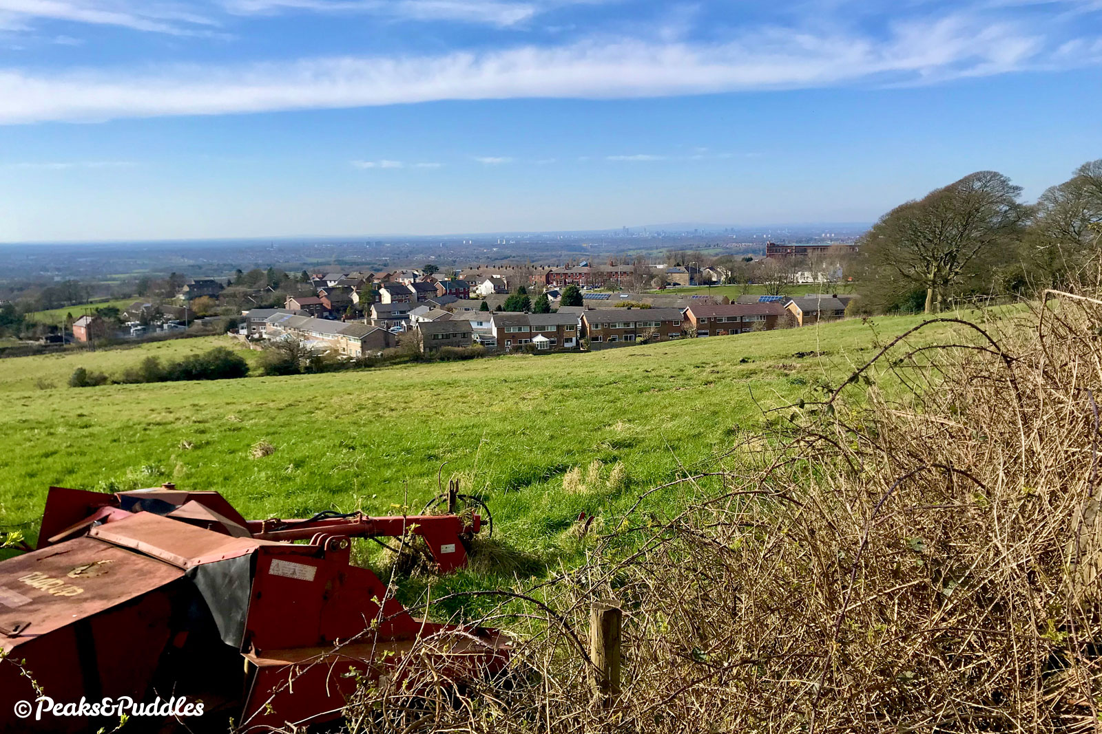
This first impressive hill rising up from the plains of Cheshire heralds the start of the Dark Peak beyond, but sits firmly within Greater Manchester. From its quiet summit, views extend to Kinder Scout in one direction and across Manchester the other. It was featured in the Tour of Britain 2019 route.
Dropping back into Marple past the giant Goyt Mill, it’s easy to see why this area is beloved for cycling. Trails, lanes, woods and peaks. City skylines and Peak District summits in the same view, and all satisfied within an hour or two.
Route map
The route stats featured here are automatically generated by Komoot. For the most accurate guide, please refer to the route details above, based on actual rides recorded by Strava.
Getting there
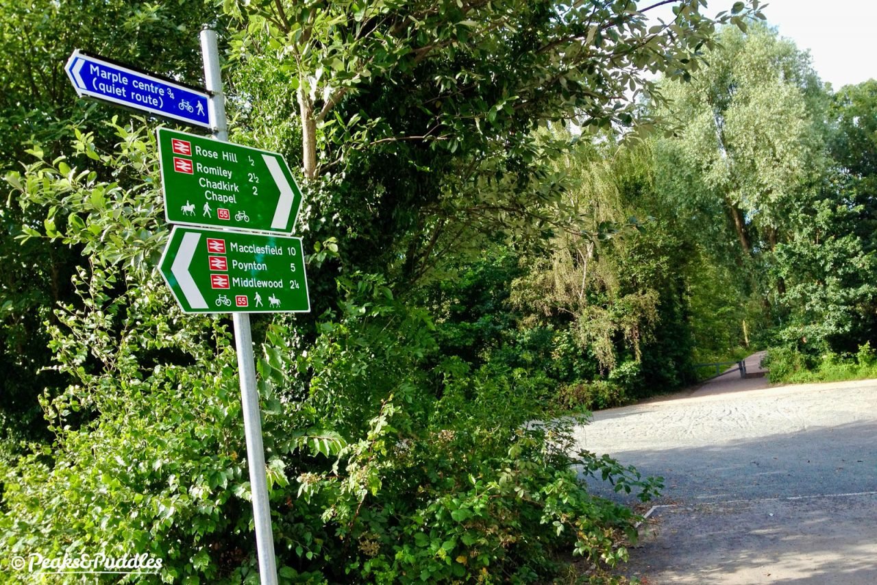
Starting from Marple gives you the rewarding feeling of heading out of suburbia straight onto country lanes, then an exciting descent back to finish. Like the similar Lyme Loop, this route begins at the access to Middlewood Way off Railway Road in the Rose Hill area of the town. The Alan Newton Way provides an off-road link to here from inner Stockport.
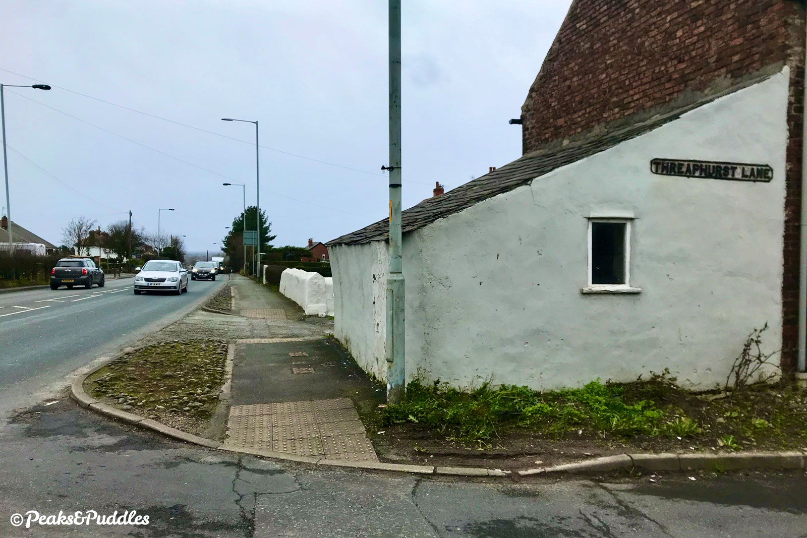
Alternatively, from the north of Hazel Grove, Torkington Road meets the route at the junction with Threaphurst Lane (Stage 2). From the south of Hazel Grove and anywhere along the A555 Hazel Grove to Manchester Airport cycle route, including Woodford, Bramhall, Handforth and Wythenshawe: head east over the bus bridge at the end of that route on the deserted former A6, now simply Buxton Road, to meet Norbury Hollow Road (Stage 3).
By train: The route begins right next to Rose Hill Marple railway station, with trains from Manchester Piccadilly. Though it passes close to Middlewood railway station, with trains on the Buxton line via Stockport, you’d need to push your bike along the first footpath to the south to reach the series of lanes from Middlewood Road.
By car: There’s free parking for Middlewood Way right at the start of the route on Railway Road, Marple. Other good parking spots are off Wood Lane, Marple, Nelson Pit (pay) or Shrigley Road at Higher Poynton, or Ridge Quarry atop Marple Ridge.
Things to note
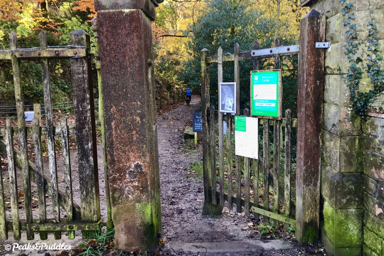
- This route includes a long, essential section through the gates of Lyme, a National Trust property which is free to access on bike but only open certain hours (usually morning till around 4.30pm or 8pm depending on time of year). Outside of these hours the route can’t be ridden in full at all, so do check the park’s opening times before setting off.
- Unlike the similar Lyme Loop cycle route which stays off-road as much as possible, this route assumes you’re familiar with or ready to try cycling on some slightly busier roads. The 300 metre (0.2 mile) spin down the A6 is the busiest, like pulling off a sticking plaster, and it can take an age for a big enough gap in traffic to turn out of Threaphurst Lane — there is a petition calling for a dedicated cycle link here. Upper Hibbert Lane, quite unpleasant if you were to cycle it uphill, is not so much of a problem ridden downhill as drivers are forced to slow for the speed bumps. All other roads are much quieter.
- The long, gradual climb into Lyme Park from West Park Gate is fairly bumpy. Luckily, since you’re riding it more slowly uphill on this route, it’s still doable on most types of standard bike. Note, too, the cobbles just after the level crossing at Norbury Hollow.
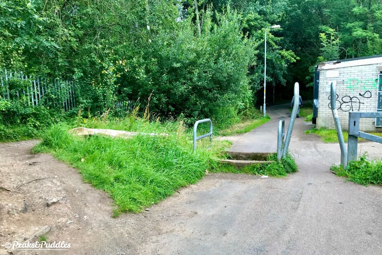
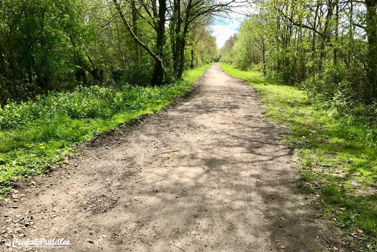
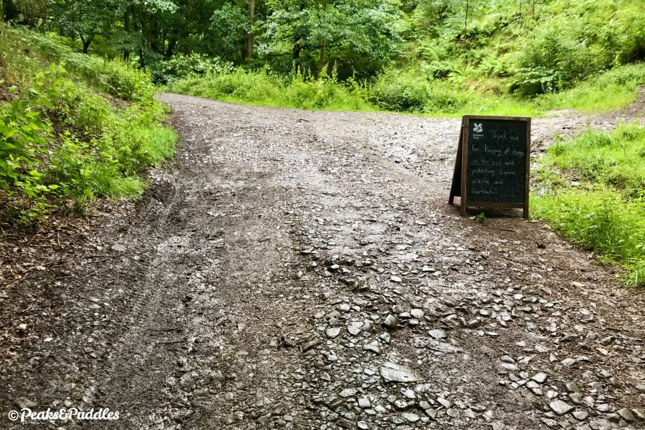
- See the Middlewood Way cycle route guide for more things to note about this section. This is usually one of the busier sections of the trail since it offers such a good link into the countryside, but it’s wide and well-surfaced. There are, however, three metal a-frame type barriers within a short distance leaving Marple.
Found this guide helpful?
Please consider chipping in the price of a coffee to help pay the bills and support my work. Or become a Peaks & Puddles Plus supporter to get access to exclusive routes and pages in return.
Route stage-by-stage
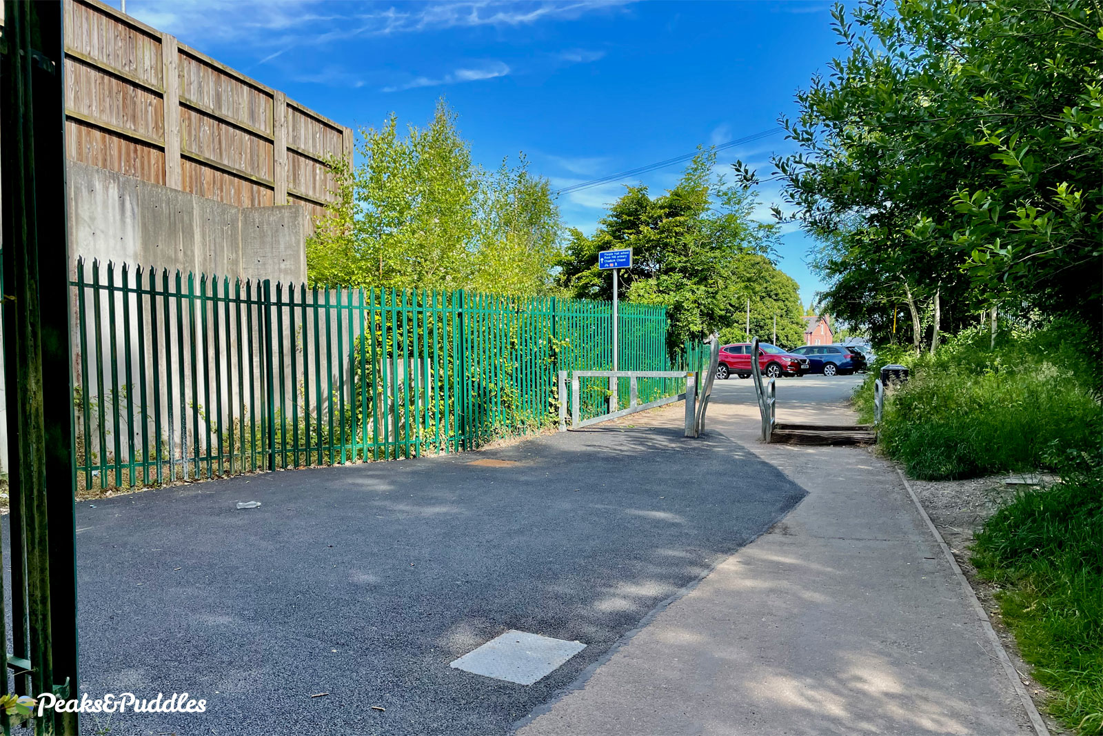
- Join Middlewood Way on Railway Road at Rose Hill, Marple, and follow the former railway line for just over 1 mile (1.7 km). Almost this whole section of the route is in a cutting, starting out on tarmac beside the recycling centre and housing, then onto compacted stone to head out into the countryside.
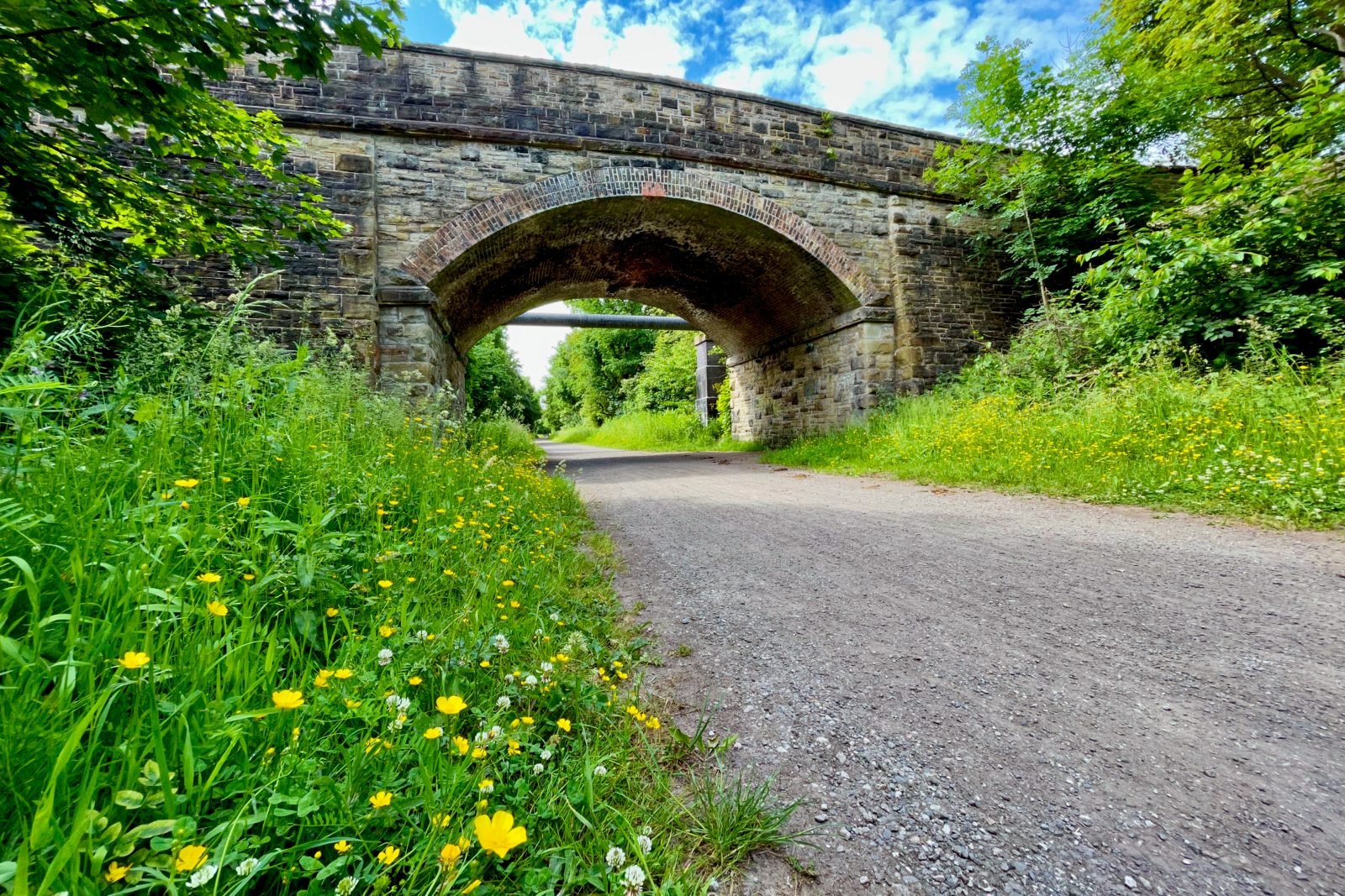
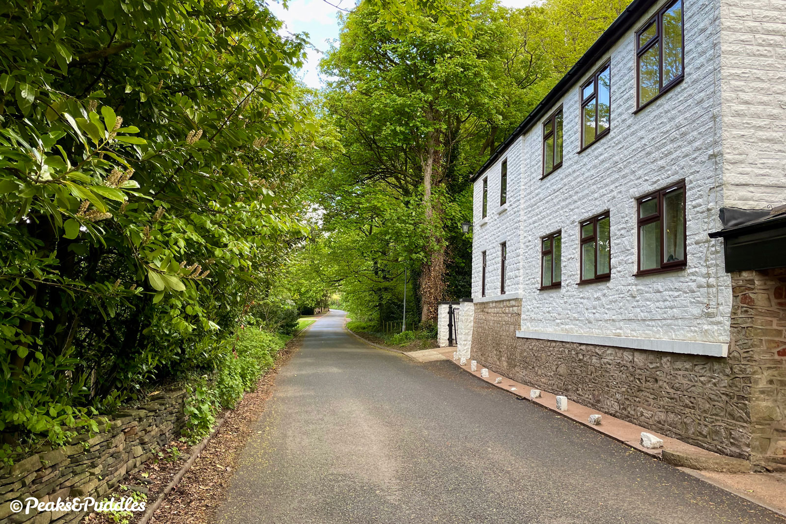
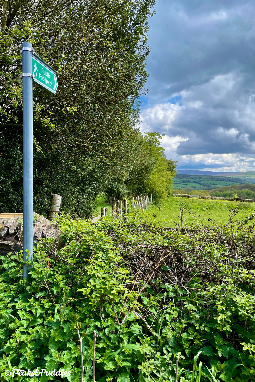
The trail soon passes under a preserved stone overbridge, carrying the road you’re about to exit onto. 300 metres (0.2 miles) after the bridge, turn right to leave the trail between a couple of houses.

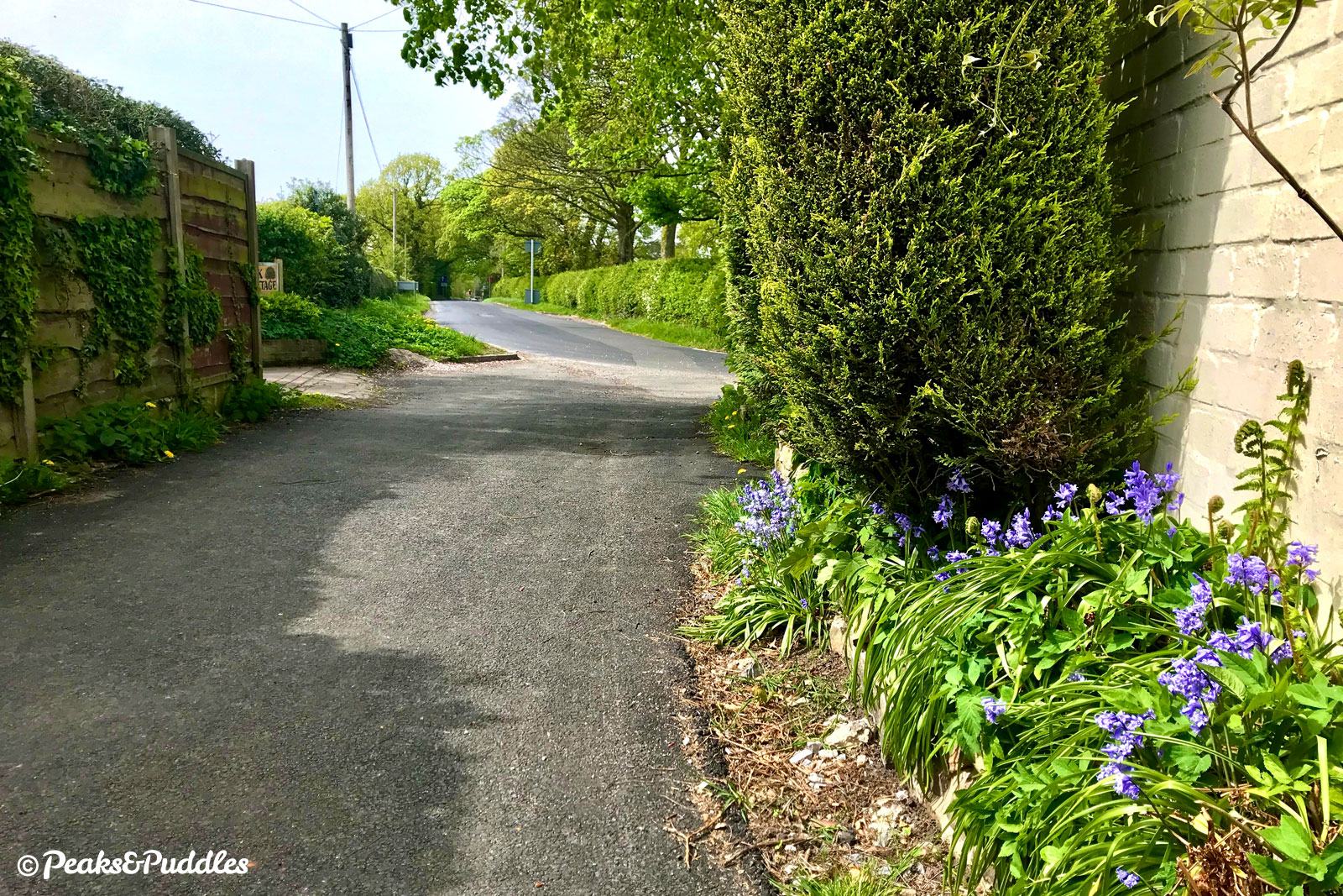
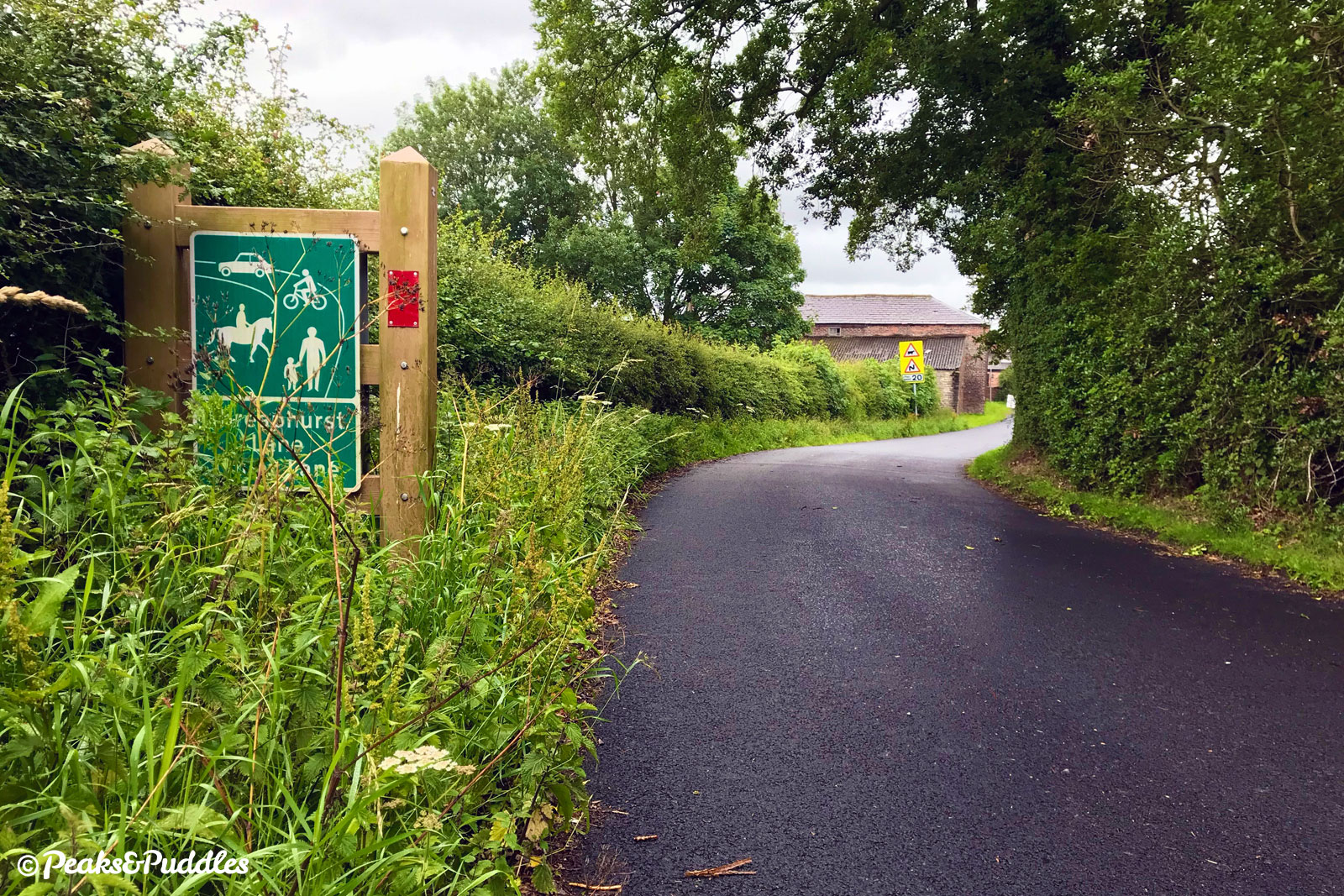
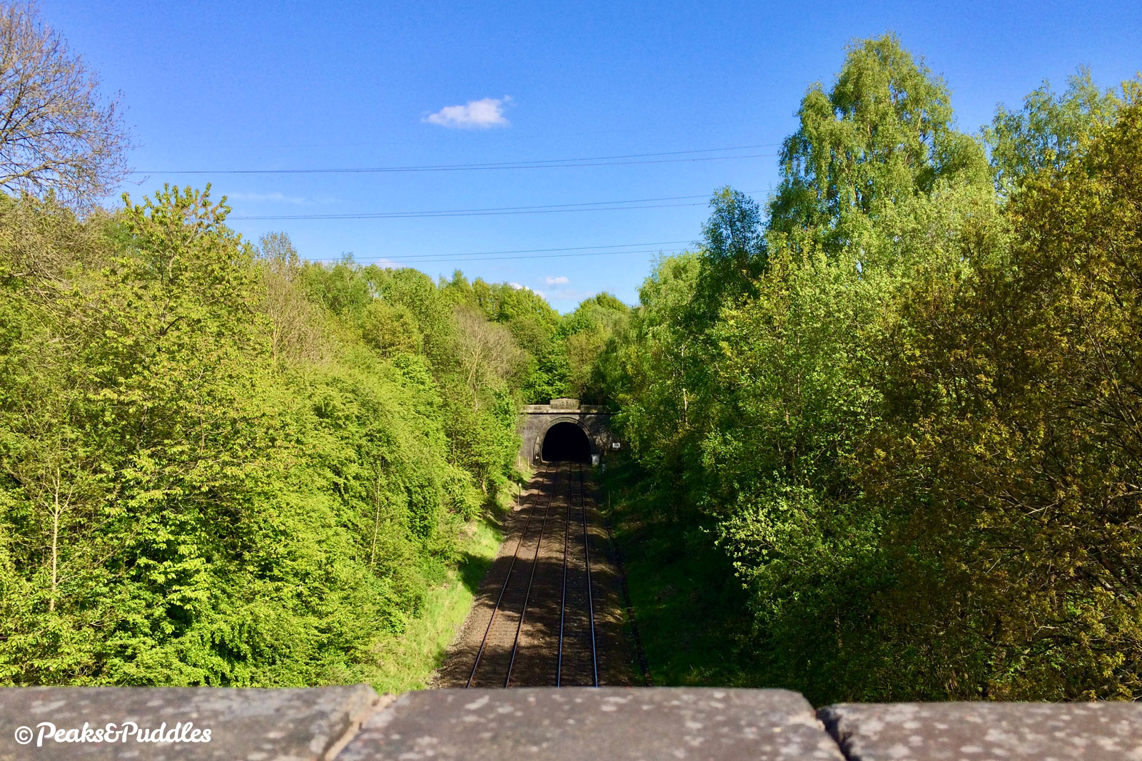
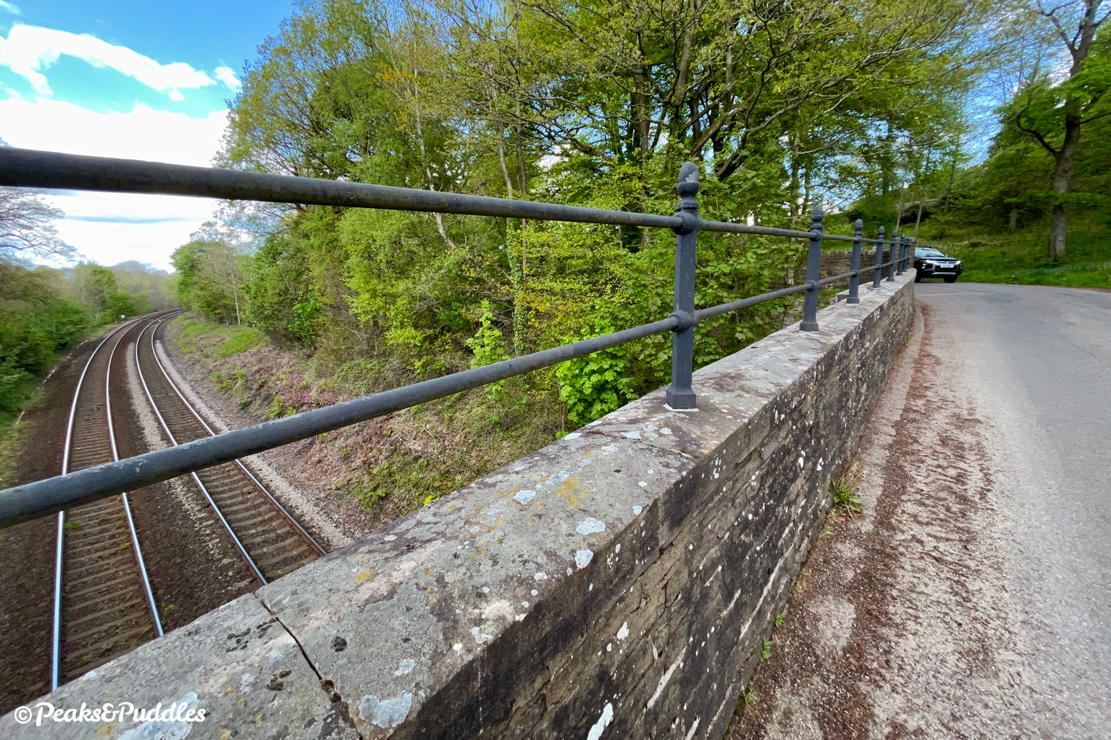
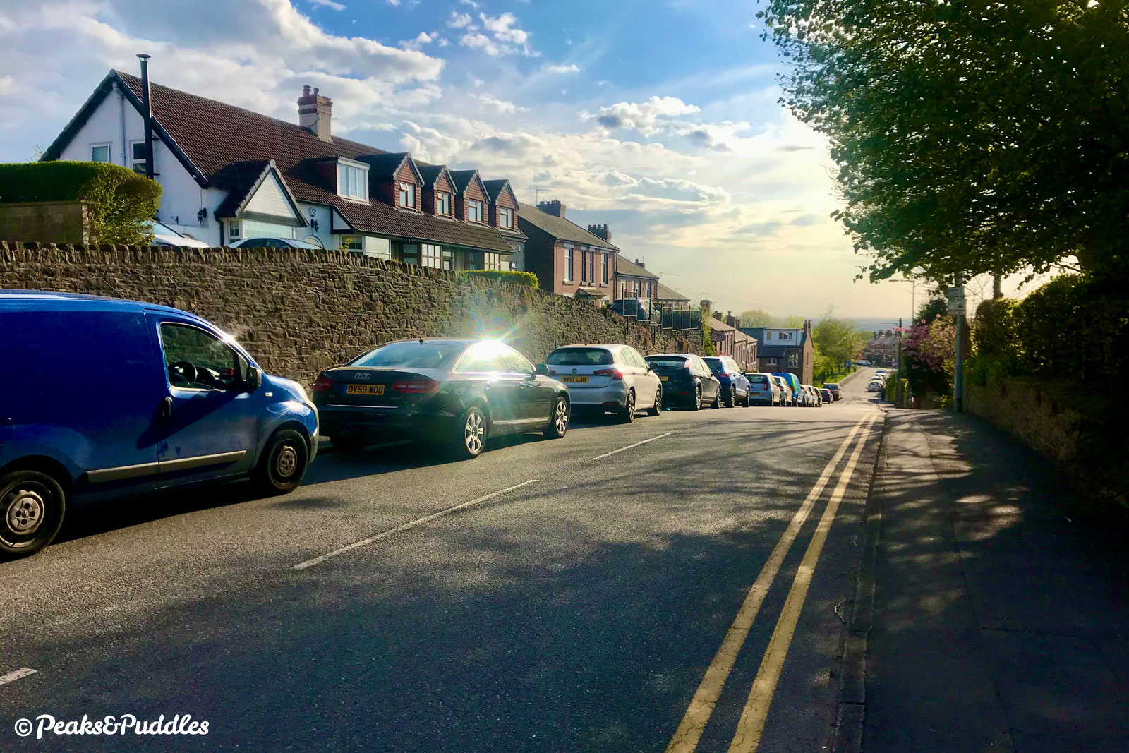
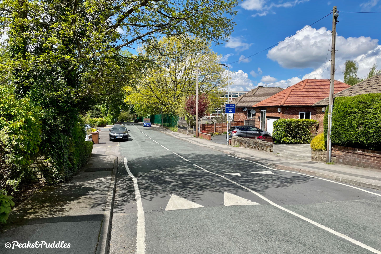
- Turn left onto Torkington Road, then almost immediately left again onto Threaphurst Lane. This old and remarkably unspoilt farm lane in Stockport’s green belt is largely peaceful, as the “quiet lane” signs suggest. Past old farm buildings and a row of cottages, it dips down suddenly then rises again, with wide grass verges and twisting hedgerows in typical old-Cheshire style. Crossing a brick railway bridge, stop to look over the parapet to see the fast Hope Valley line disappearing into the Disley Tunnel, which runs for 3.5 km (2.2 miles) under High Lane and Marple Ridge.
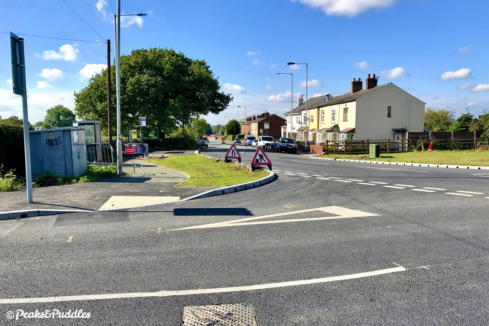
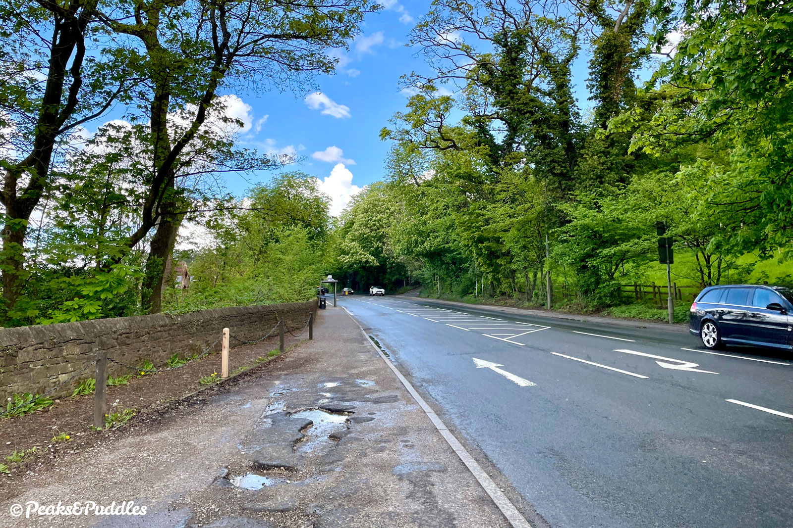
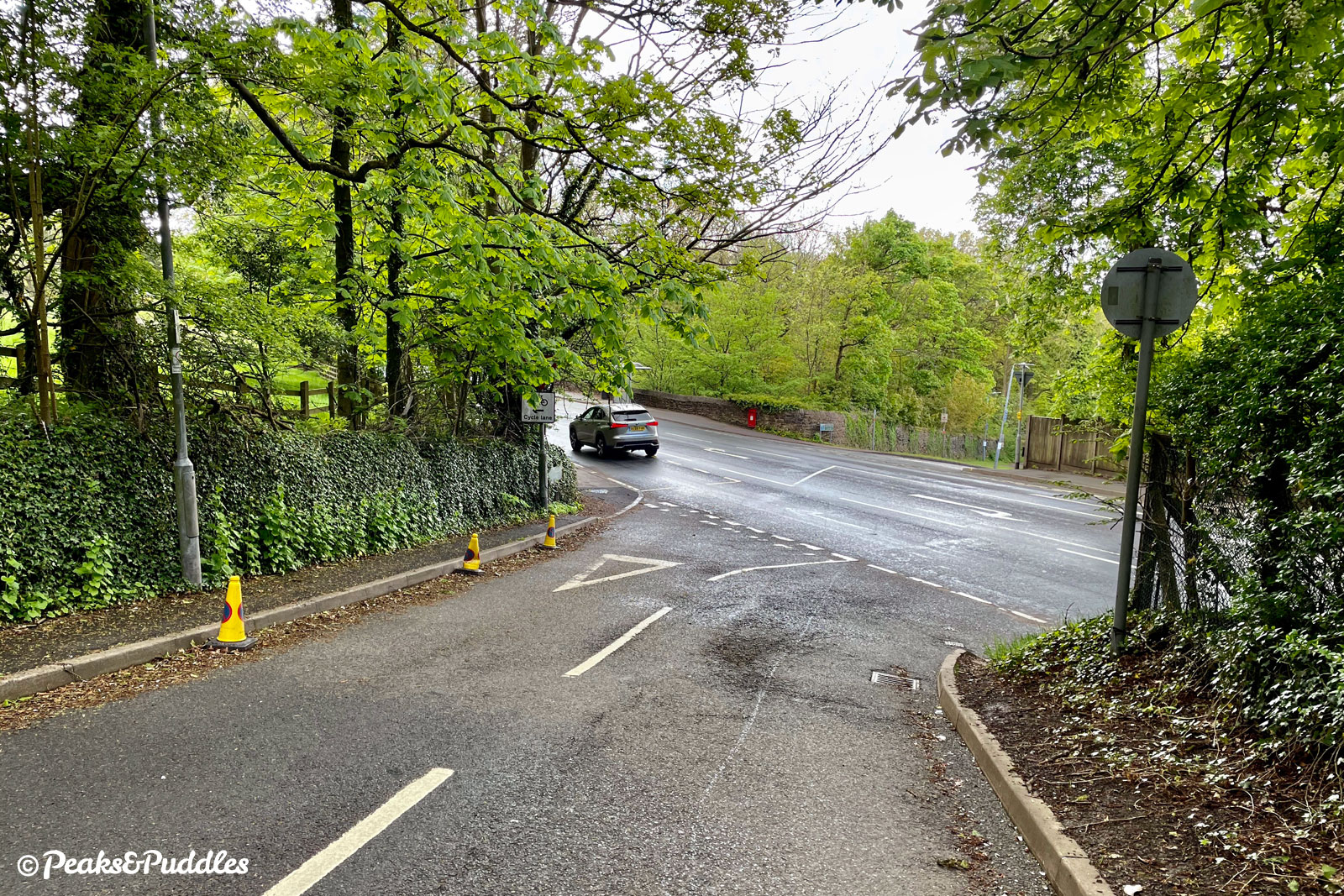
Soon the roar of the A6 Buxton Road comes closer and, as the lane ends, wait for a good gap in traffic both ways to turn right onto it. This is not a pleasant road and you’ll see the desperate need for a cycle link if only to spare the minutes of your life wasted waiting to turn out. Luckily, it’s only a 300 metre roll downhill from here before you can turn left, as the road begins to bend the other way, onto a small slip lane for cycles. (If you miss it, just turn left at the first traffic lights a few metres ahead.)
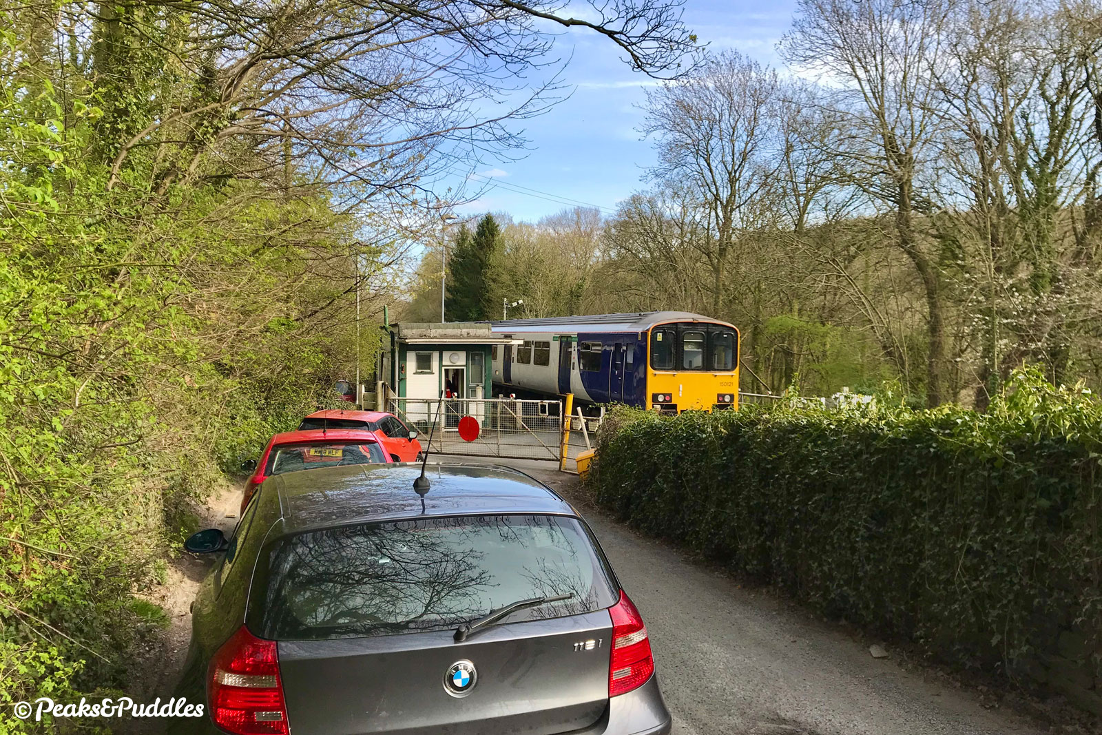
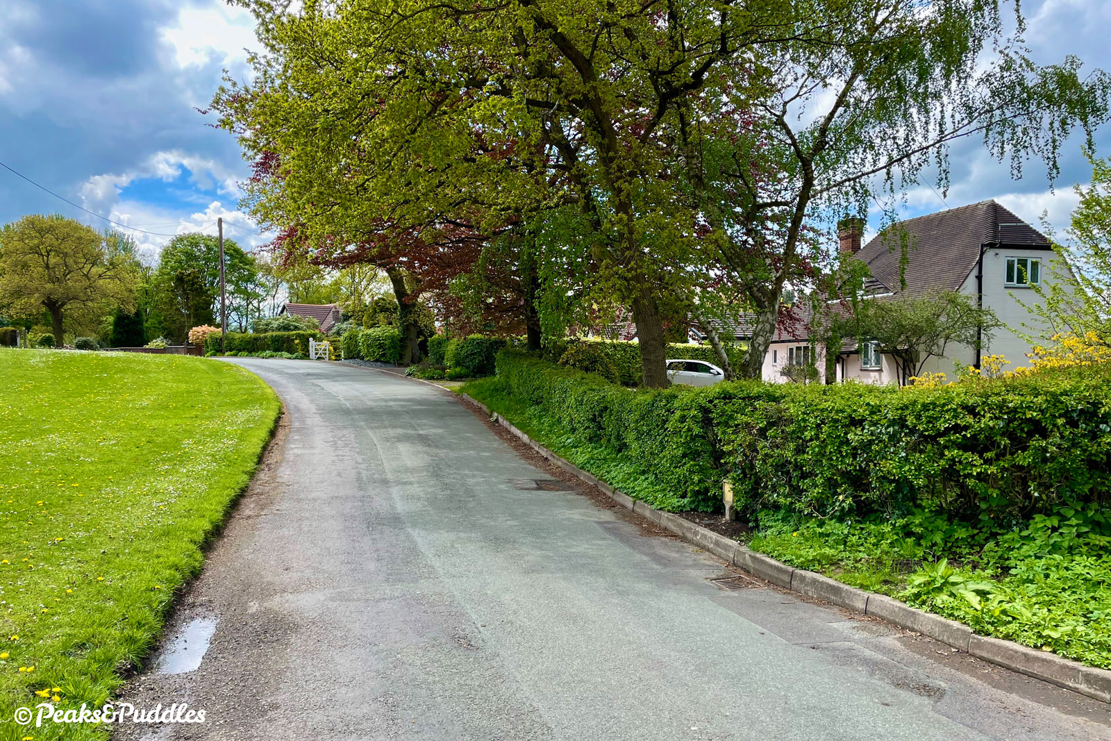
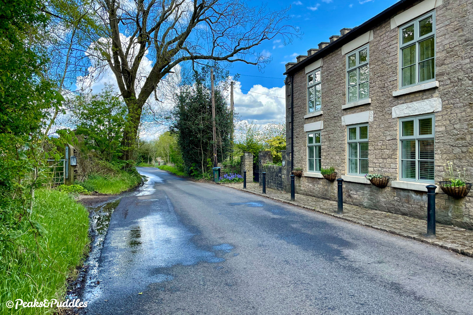
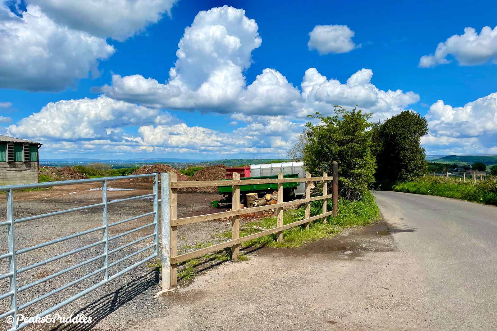
- From the bypassed stub of road off the A6, turn left onto Norbury Hollow Road, passing a large dairy and taking care as the road width narrows to almost single track around a blind bend. It drops down to meet Norbury Hollow Crossing, a level crossing over the Buxton railway line that miraculously survives with gates manually closed by hand. Across the tracks, a bumpy length of cobbles is another anachronism as the lane crosses Norbury Brook and becomes Middlewood Road. It follows above the brook weaving along the side of a wooded bank, then climbs Correction Brow into the hamlet of Middlewood itself.
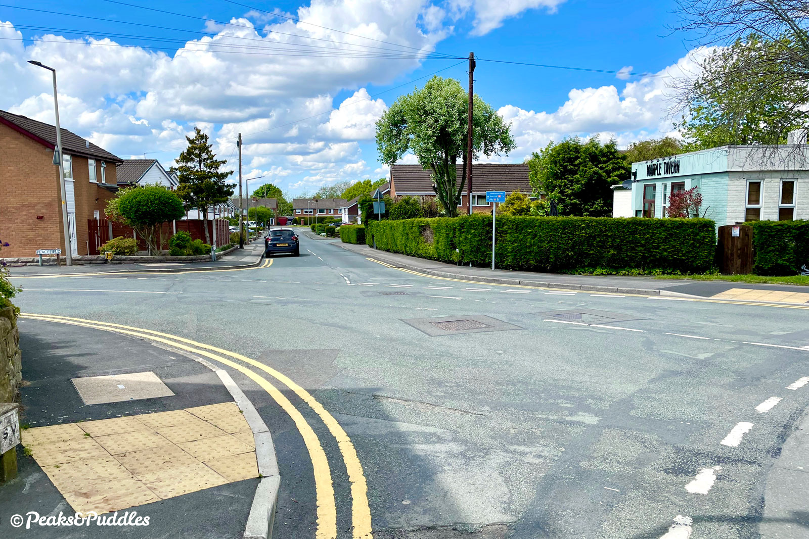
Continue ahead until two stone cottages and, where a wide junction with a bus stop opens up on the left, turn left into Green Lane, passing more houses and a small roadside green. Continue straight past the crossroads with The Boar’s Head pub on one side, into Shrigley Road North. Down in the cutting on the left is Middlewood Way, once the site of Higher Poynton station.
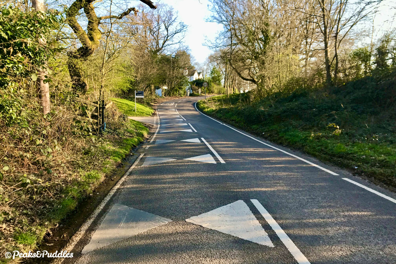
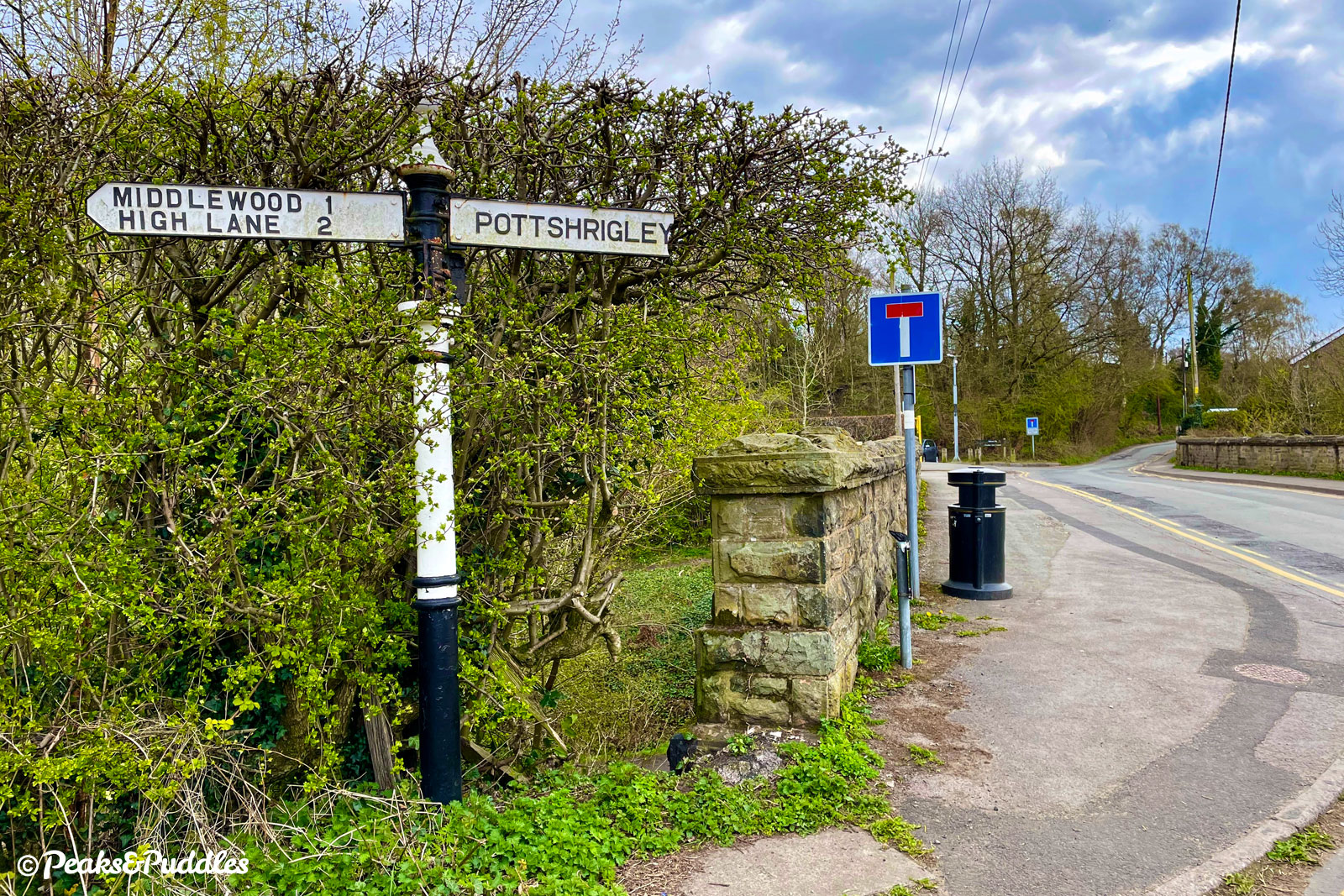
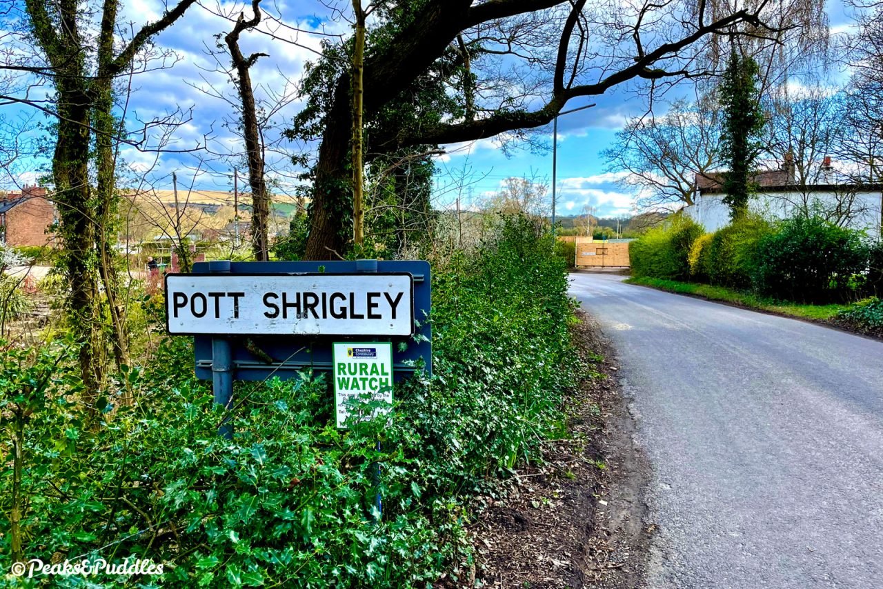
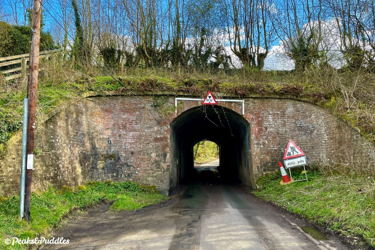
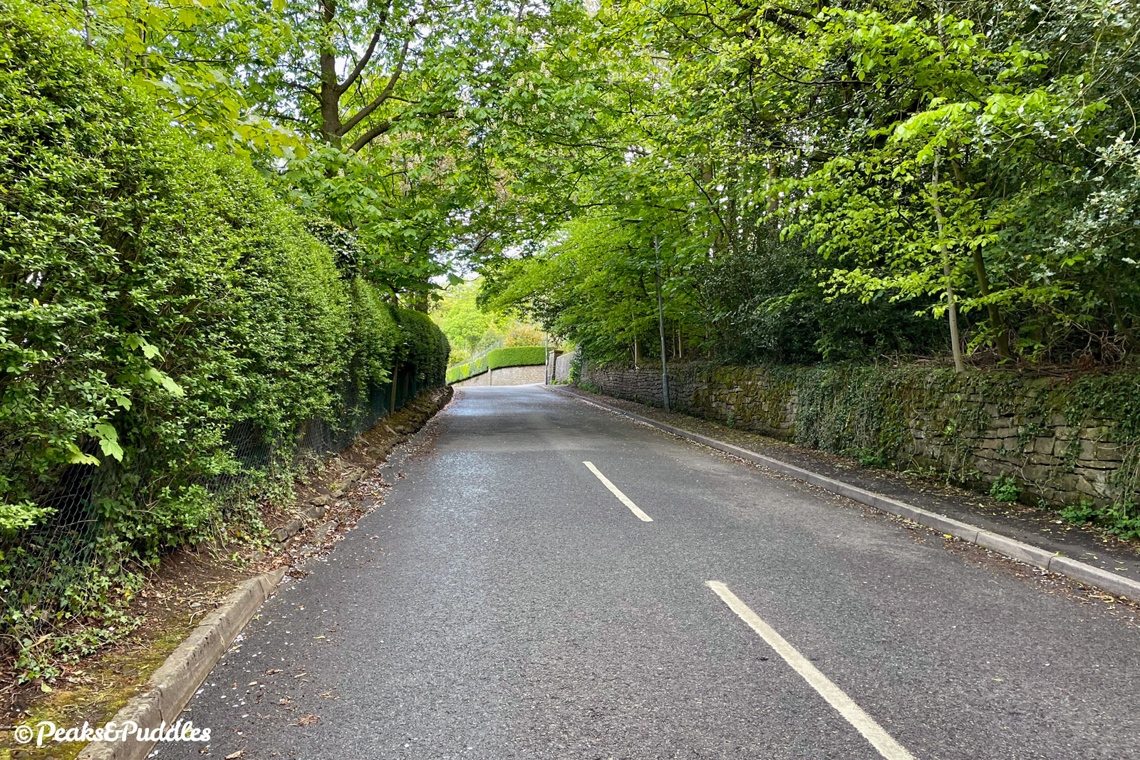
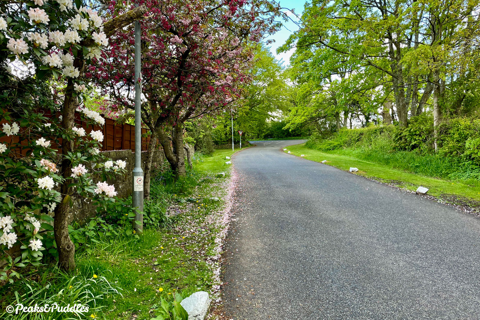
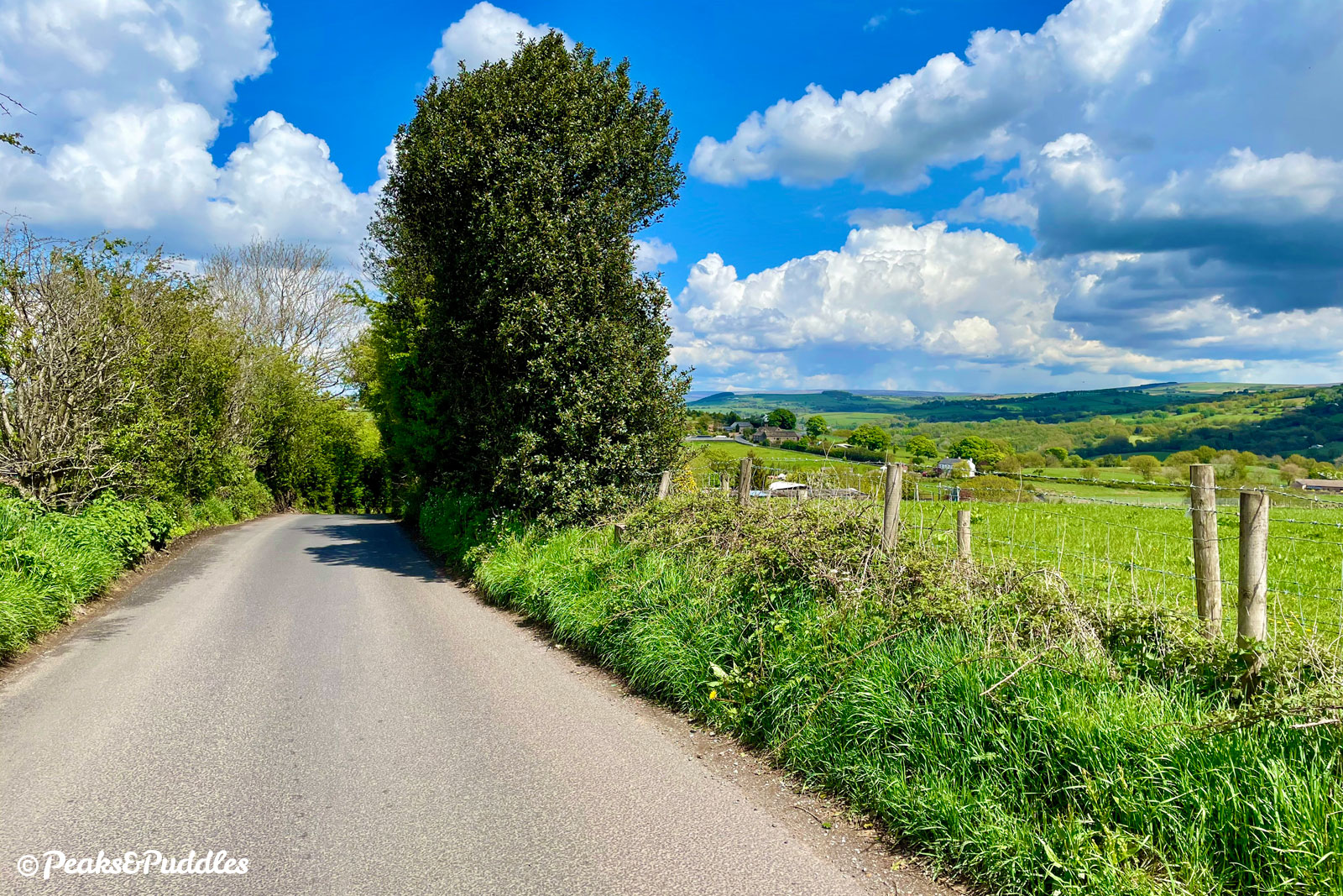
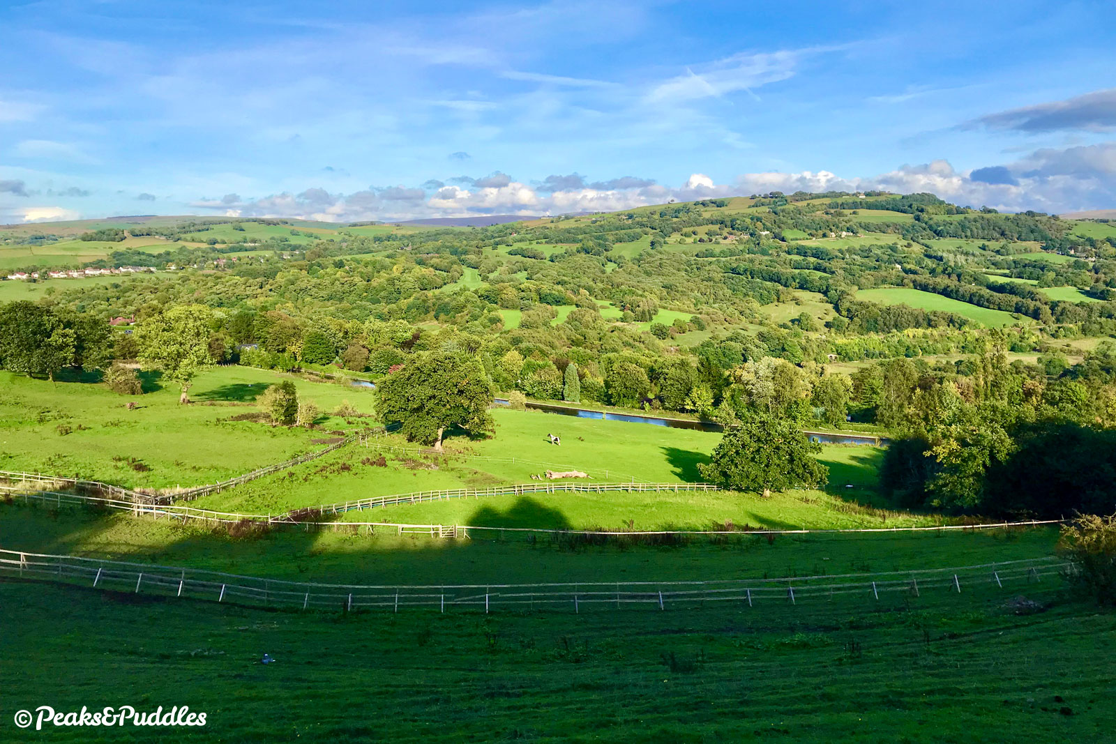
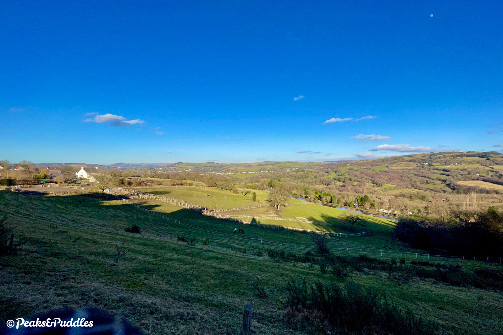
- At the t-junction, turn left onto Shrigley Road, crossing Middlewood Way on a bridge and turning sharp right. Rounding the next bend, a sign marks the start of Pott Shrigley parish, a renowned landscape for cycling on Cheshire’s edge of the Peak District. Follow the road around a few further bends past scattered houses and soon enough an unusual feature lies ahead: Red Acre Aqueduct on the Macclesfield Canal, which sits atop an impressive embankment. The road squeezes through what is effectively a single-file tunnel underneath, before immediately climbing briefly on the other side alongside a stream.
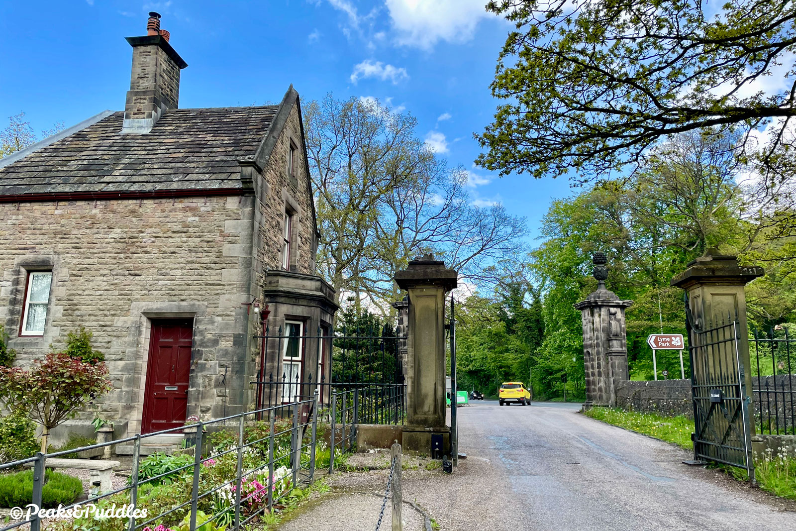
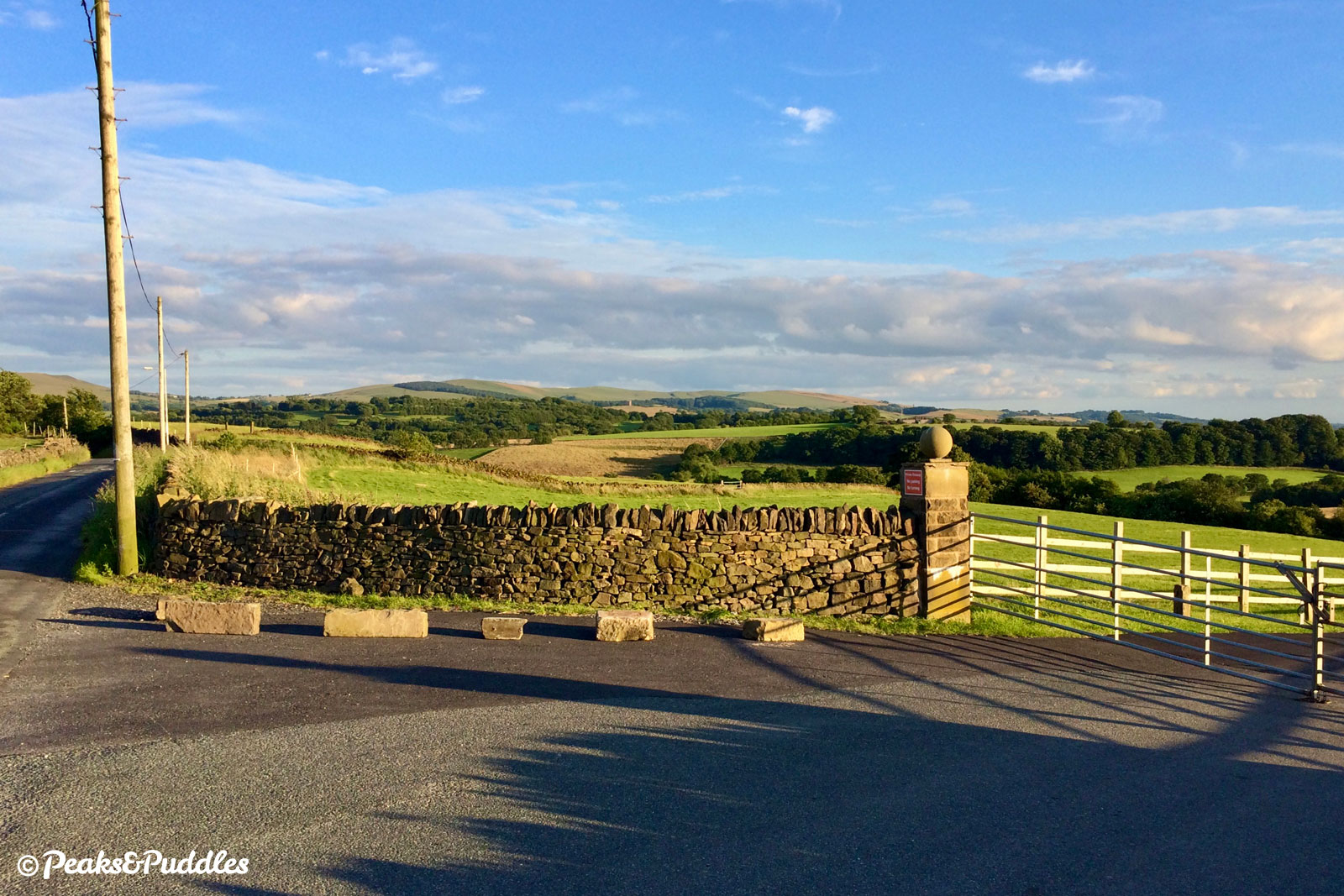
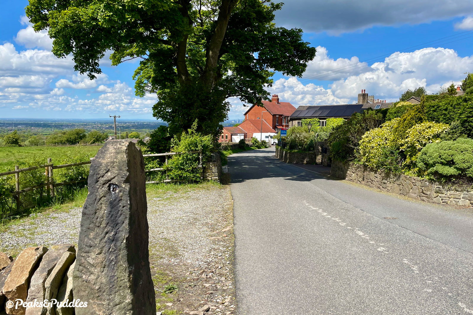
After a parking lay-by, the road veers right and climbs up a narrow and surprisingly steep little hill to Green Close Methodist Church. Then, in a cruel twist after successfully climbing as far as the quaint stone chapel, turn a sharp left to travel back downhill to the west gate of Lyme Park.
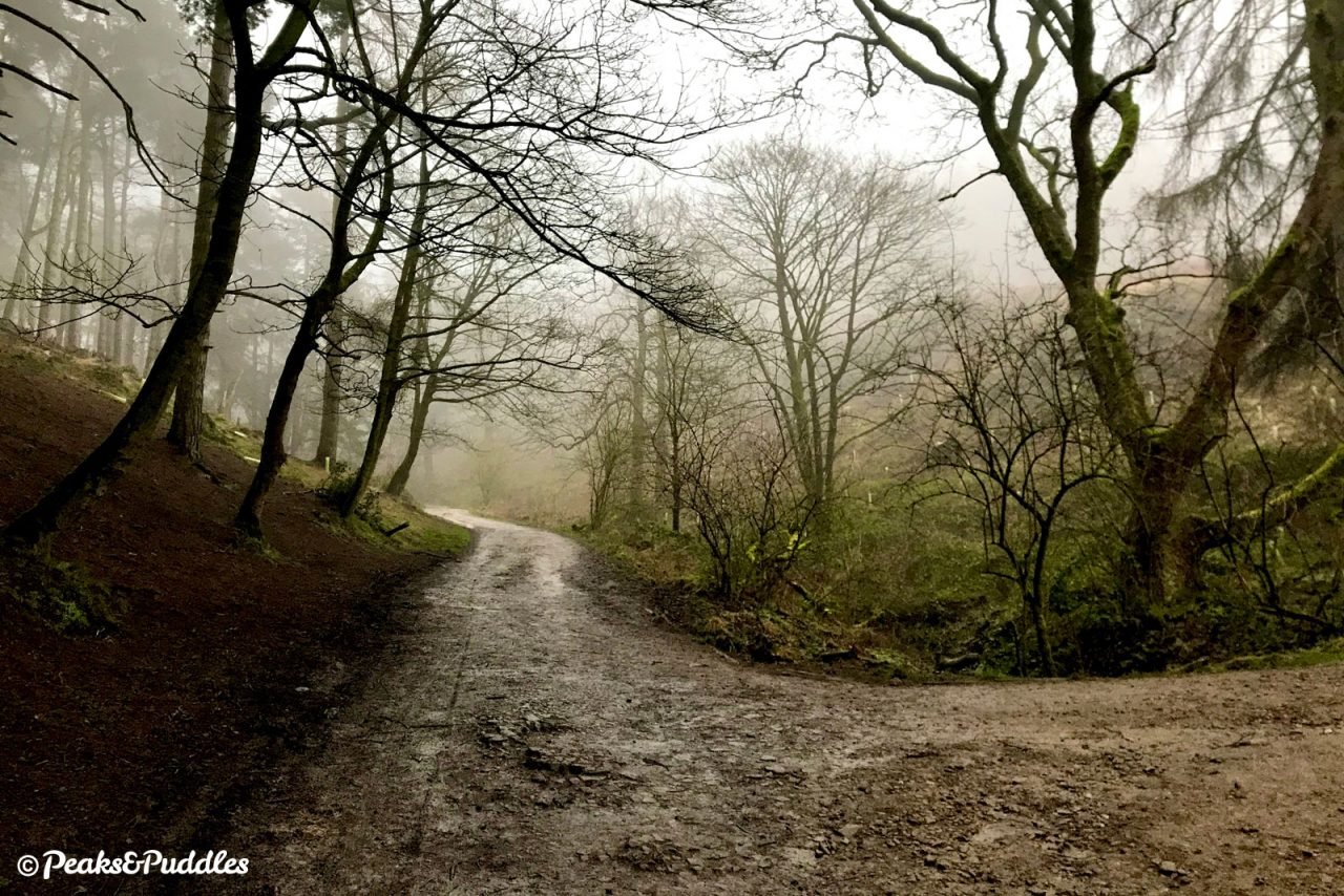
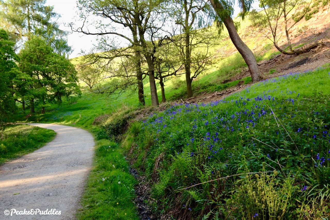
- Beside West Lodge, an Edwardian gatehouse now turned holiday cottage by the National Trust, it’s necessary to dismount to step through the gate onto West Park Drive, an old entrance track to the Lyme estate which runs uphill through Hase Bank Wood. The track is bumpy and challenging in places, sometimes wet after rain and shared with many dog walkers, but scenic and atmospheric as you climb fairly strenuously up beside a brook.
Near the top, as the track begins to level but still dotted with potholes, the banks are covered in a spectacular display of bluebells in May. Through a single gate at the top, you enter into the deer park itself at an area known as The Knott.
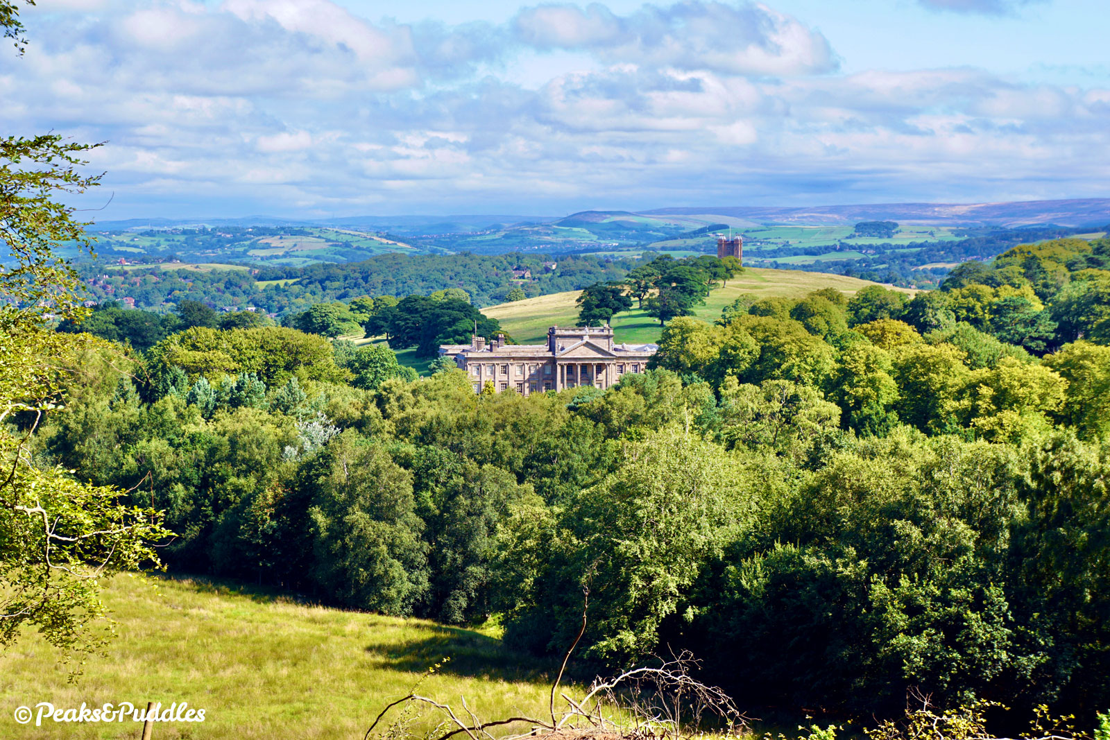
- Continue through the parking area and follow the now smoothly surfaced drive to the right, emerging from behind the grassy mound to see a stunning view over Manchester to the left and Lyme’s golden-hued Higher Moor to the right. Through a few dotted trees, the lane then drops swiftly downhill with a grand glimpse of Lyme Hall from its most famous angle: the Baroque-influenced south face redesigned by Italian architect Giacomo Leoni in the 1720s. More recently, of course, seen in the BBC’s classic adaptation of Pride and Prejudice, when Colin Firth emerged from the lake in the gardens now above you.
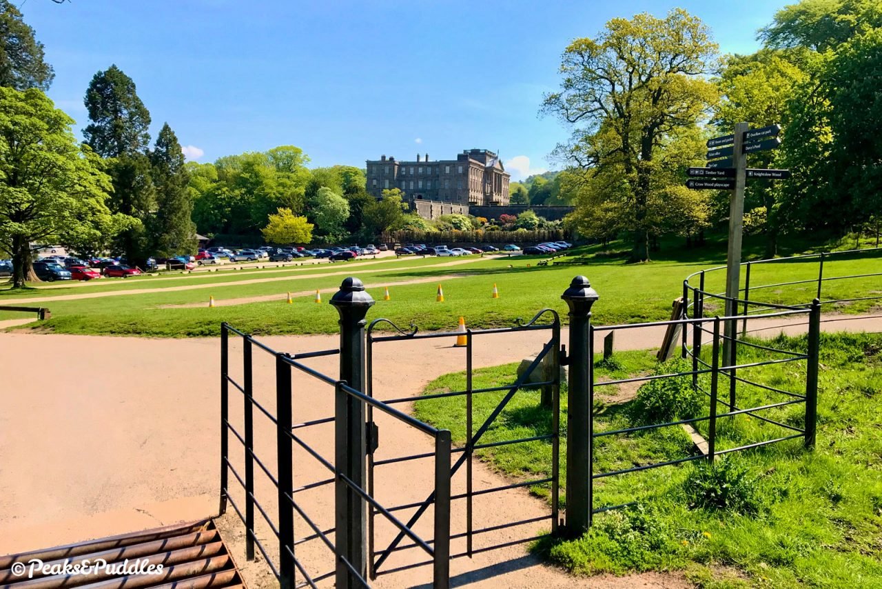
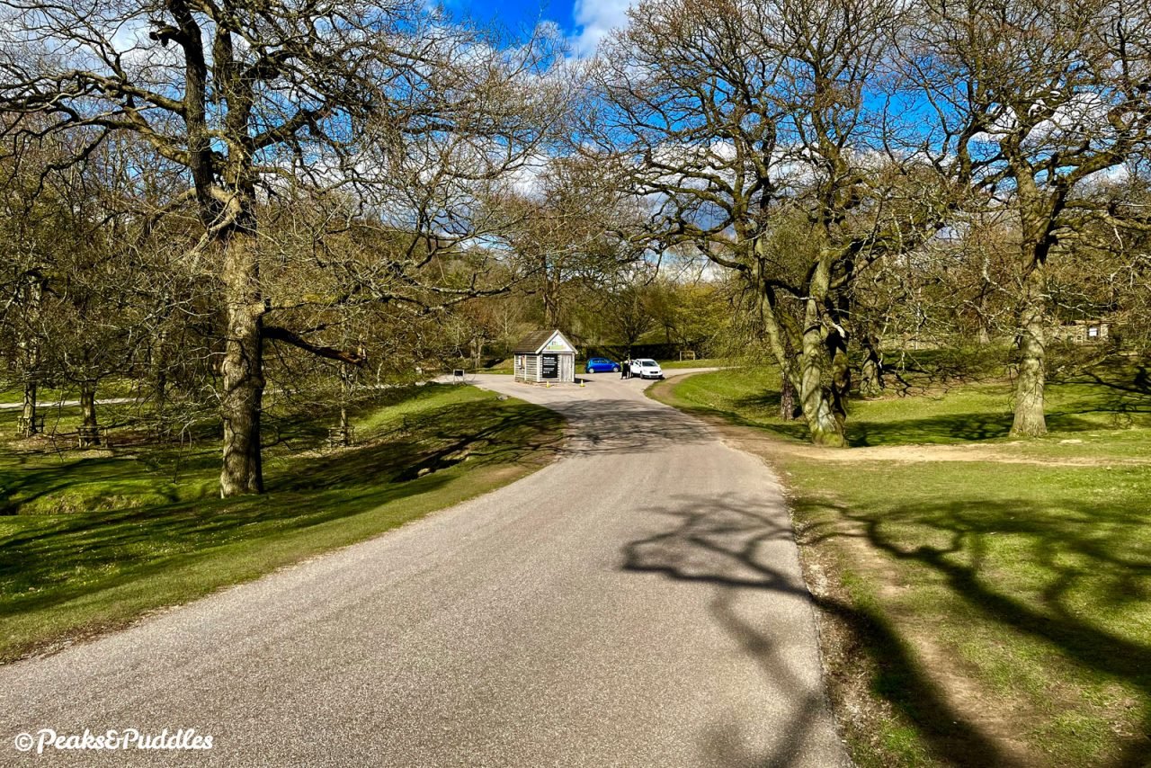
Rattle over a cattle grid and skirt around the attraction’s main car park. A stream on the left leads to the Timber Yard with a cafe and shop, while the information kiosk on the right has lighter snacks and bike stands, if you’d like to visit the hall or garden. Otherwise, work on up the small hill straight ahead.
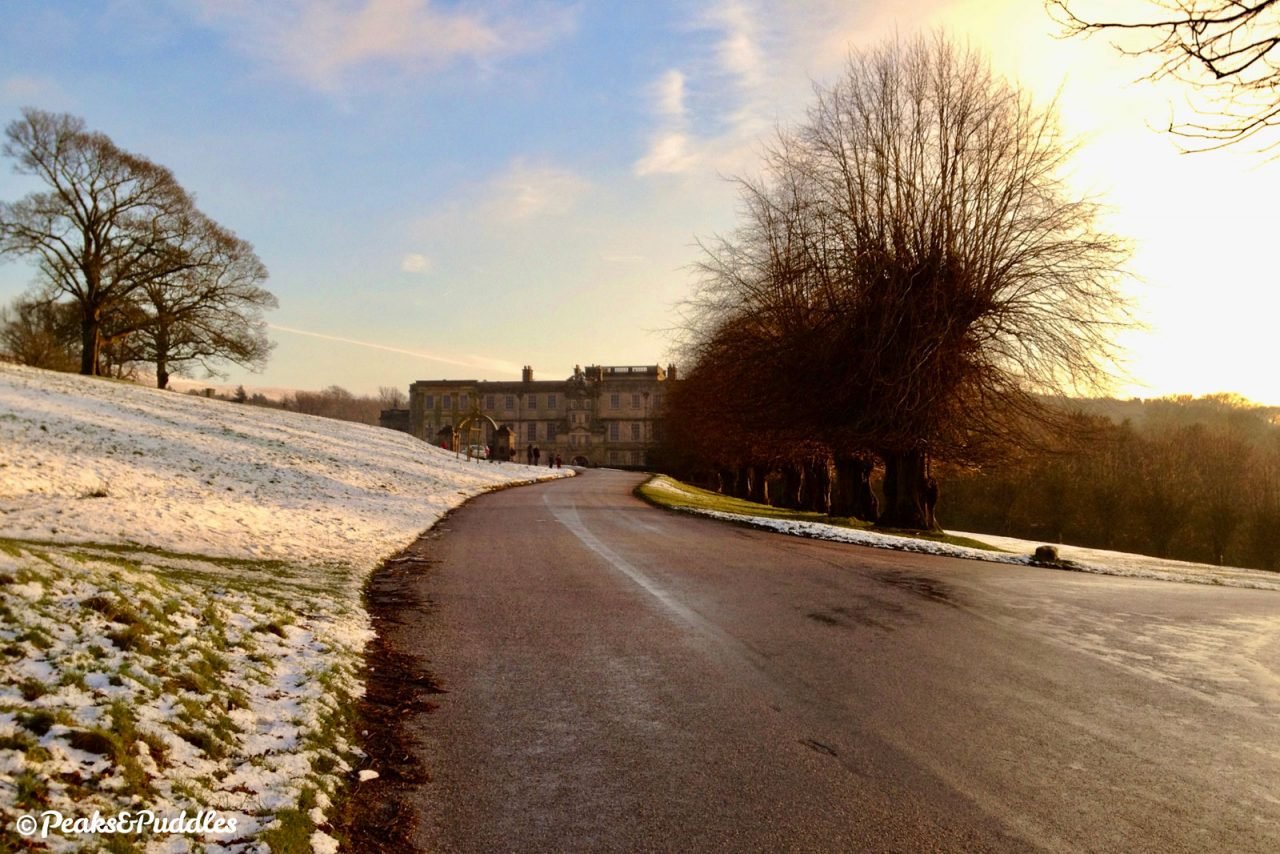
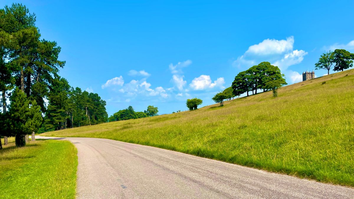
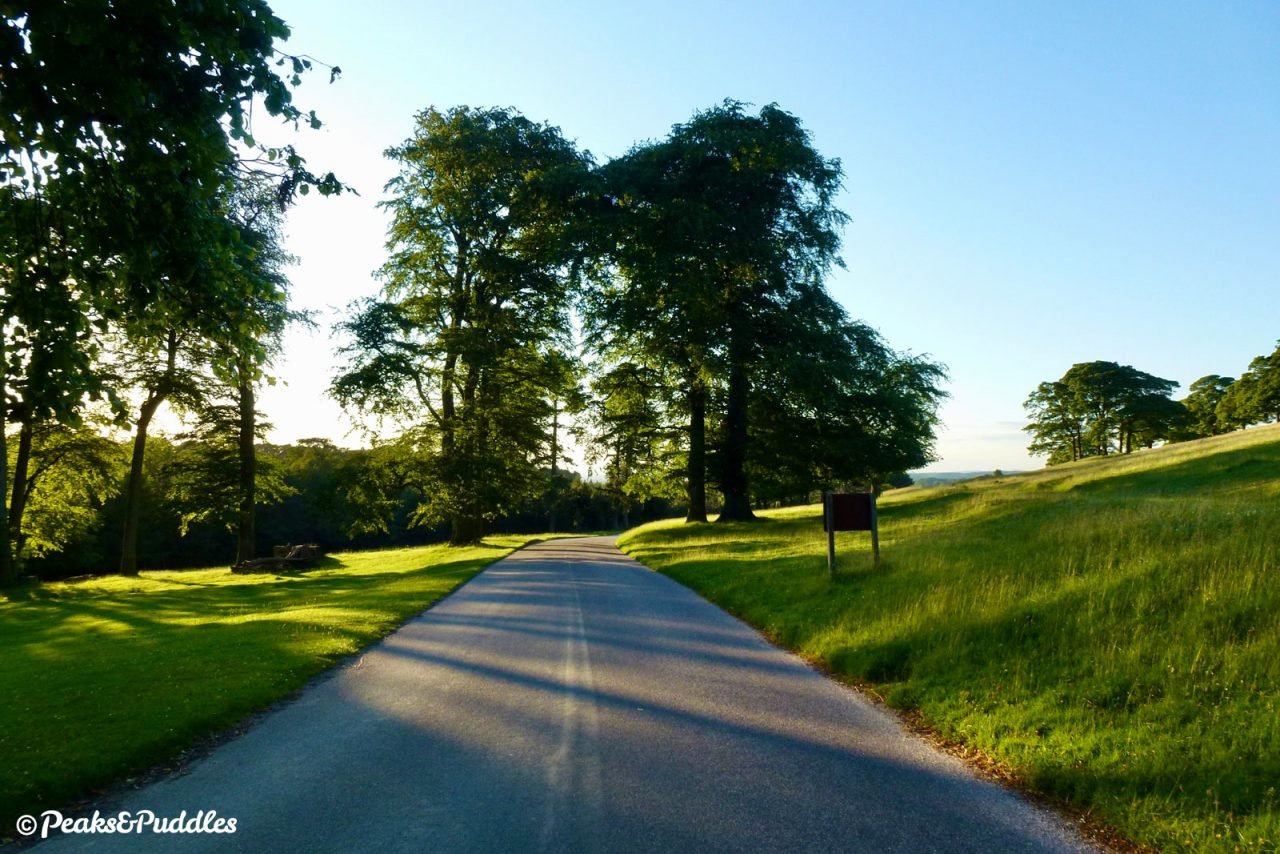
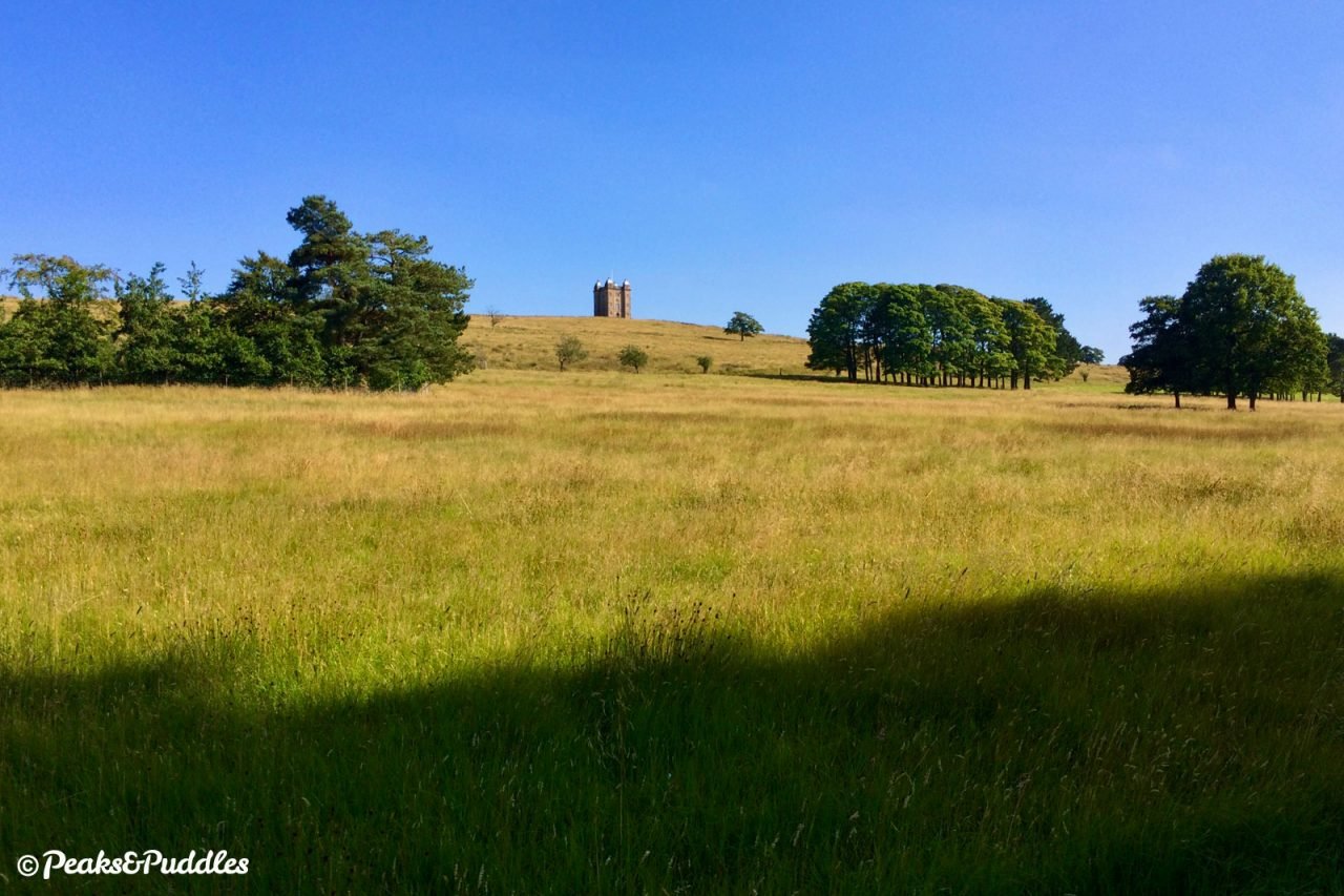
- With Lyme Hall now to the right, turn left onto the main park drive and enjoy the reward of coasting gracefully downhill for exactly 1 mile (1.6 km) through the glorious parkland, surrounded by beautiful views. The prominent landmark of The Cage is soon visible on the right, a stone hunting lodge which has apparently also been variously used as a park keeper’s cottage and a lock-up for prisoners.
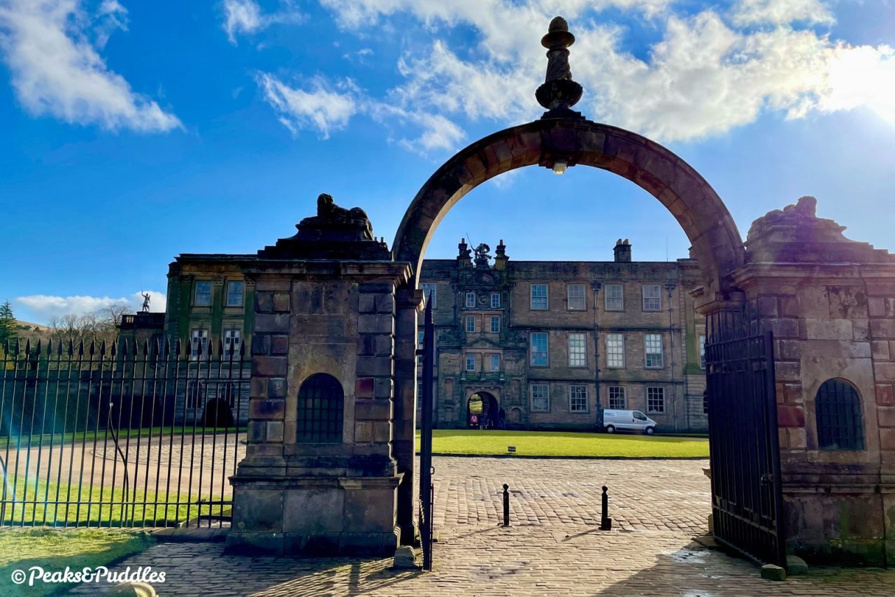
If particularly lucky, you might see the tower guarded by the park’s large but sometimes elusive herd of red deer, gathered majestically on the grassy bank. At the end of the descent, continue straight on past the small entry kiosk, cross the cattle grid and the narrow railway bridge and climb up to the front gates of the estate.
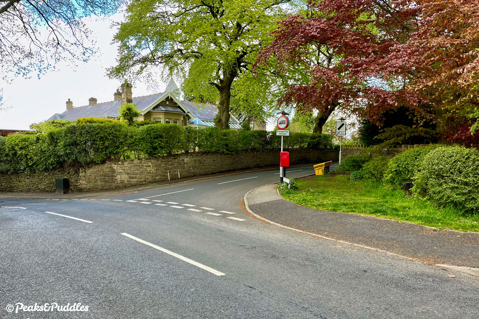
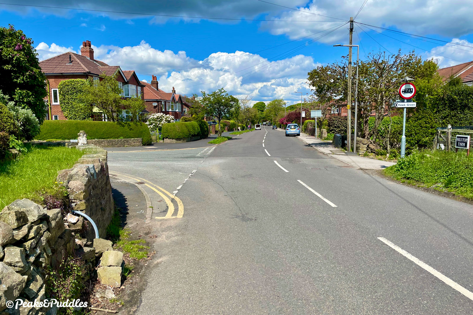
- Faced with the A6 again, this time it’s an even shorter hop, turning left then immediately right into Light Alders Lane, which begins with a sharp uphill ramp, so be ready to shift gears. Leaving Lyme, take care as traffic often comes fast around the notorious bend and wait for a clear gap, then immediately take the lane and indicate; luckily there’s a right turn space if necessary. (Or if you’d rather, just walk across using the island to the left.) Off the main road, the lane quickly levels out amongst large detached residences. At the t-junction, turn left onto Jacksons Edge Road then right at the postbox into Wybersley Road.
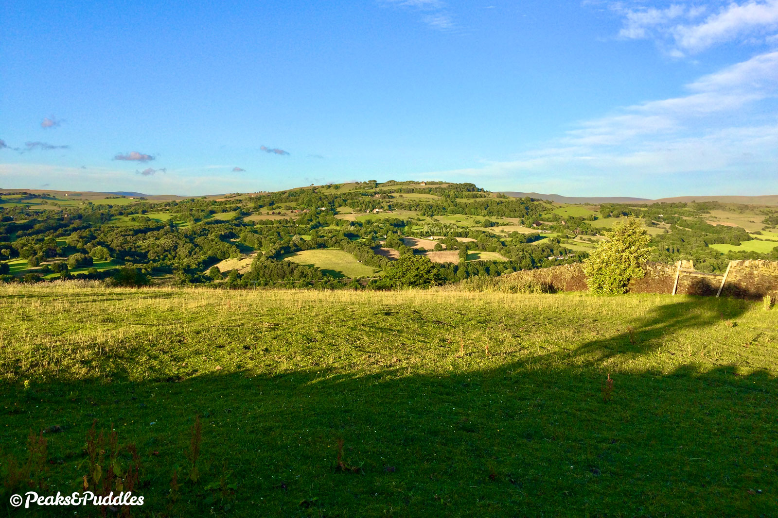
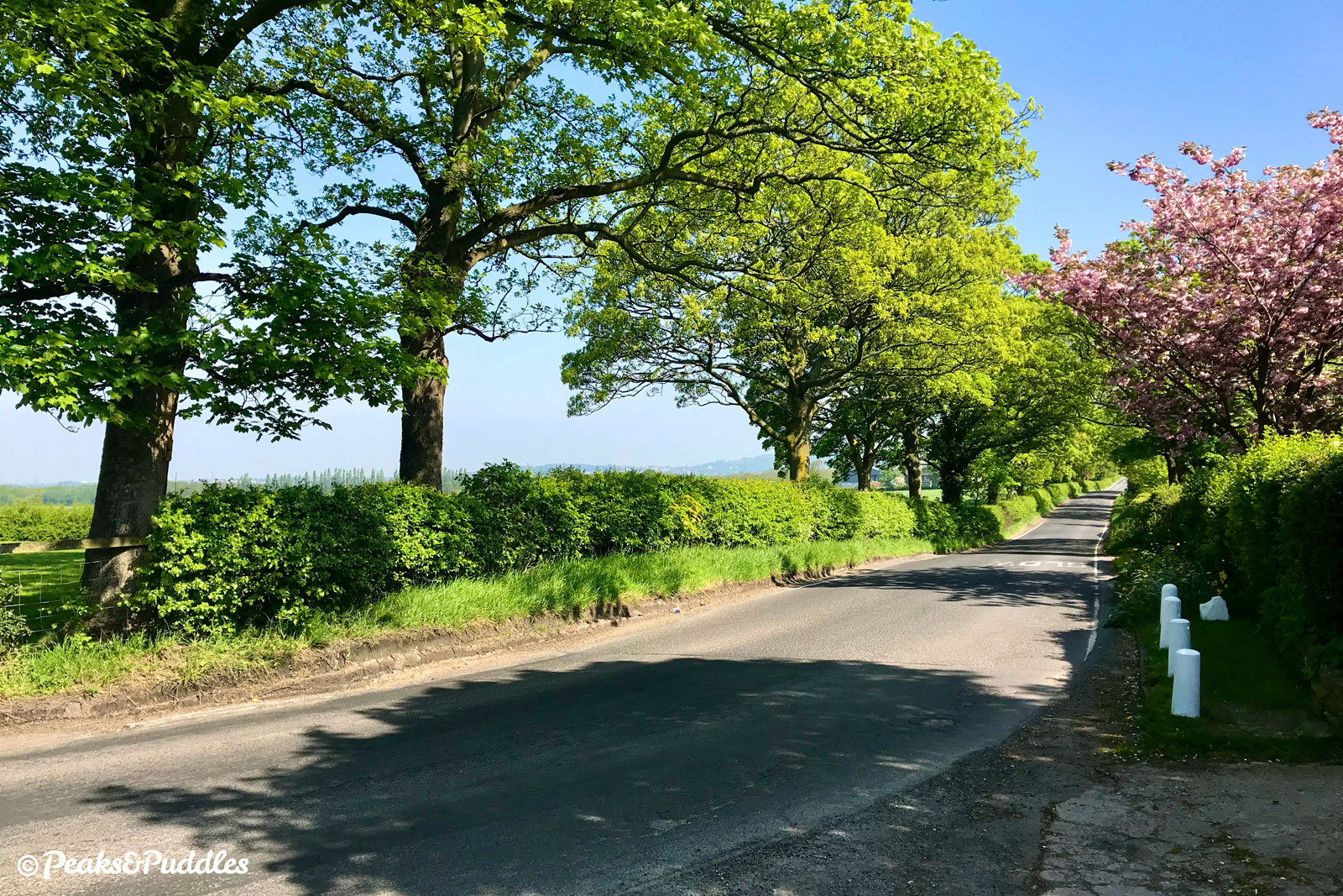
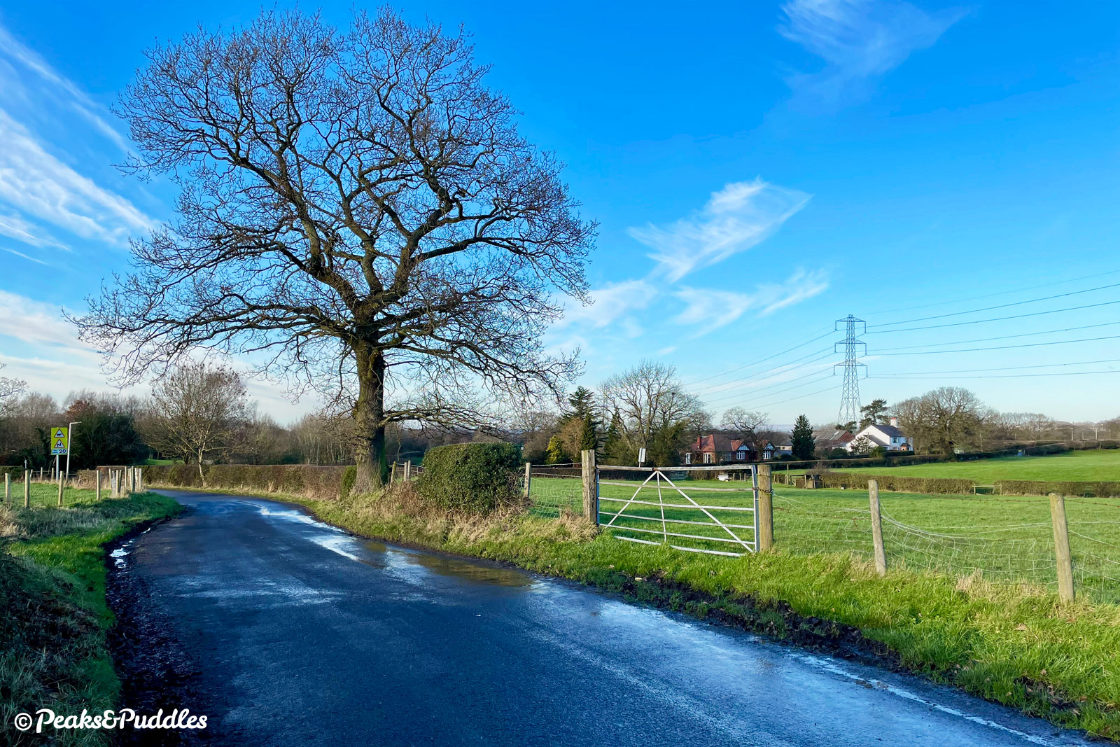
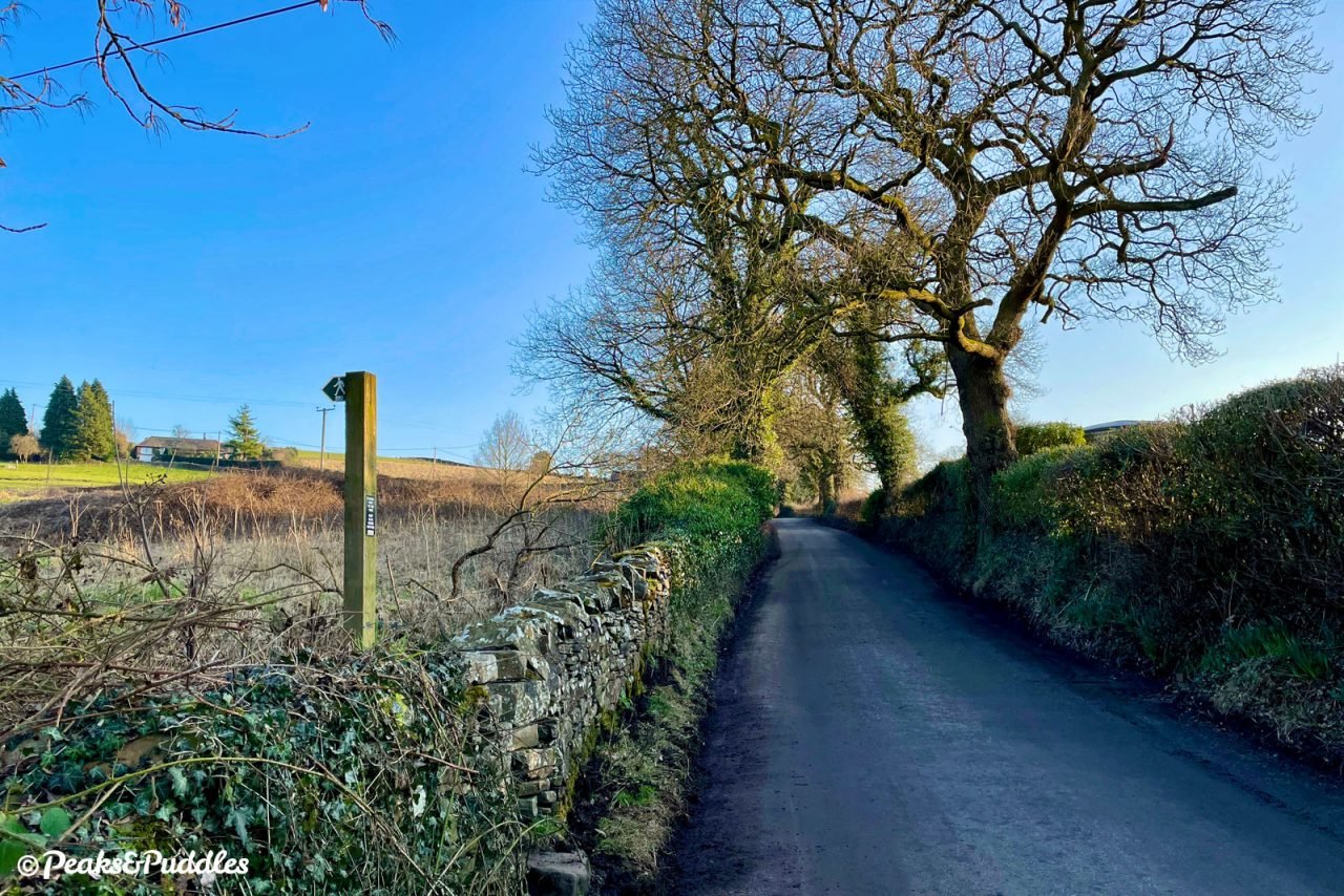
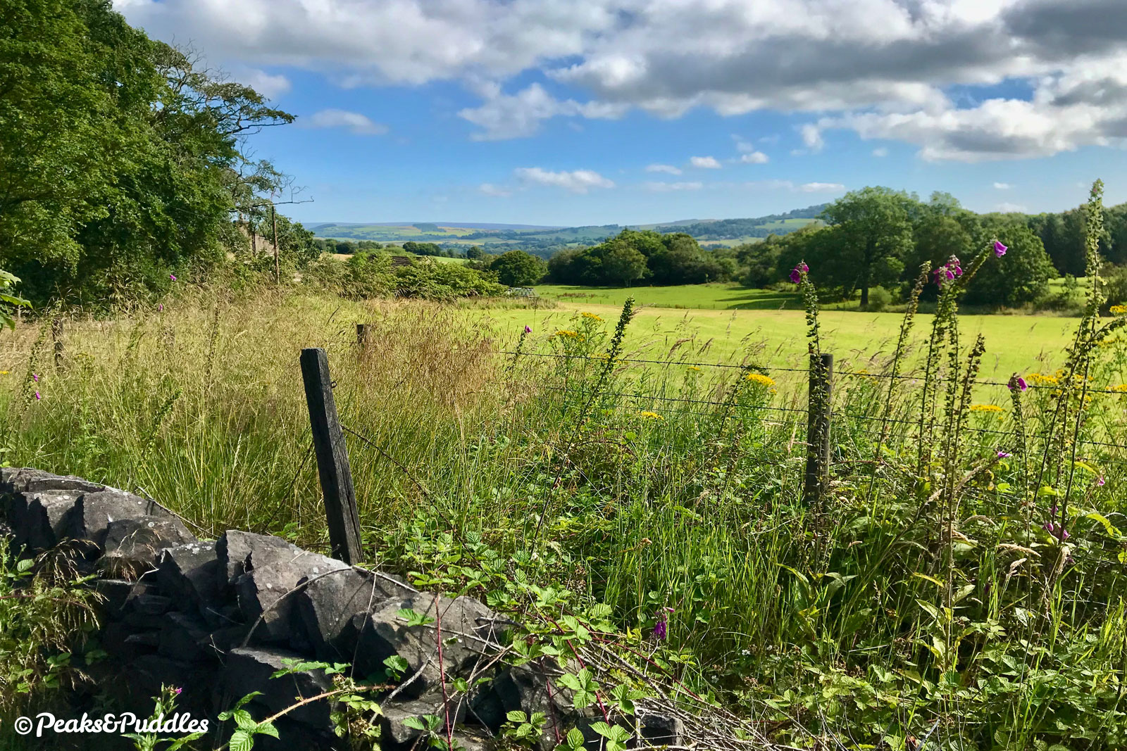
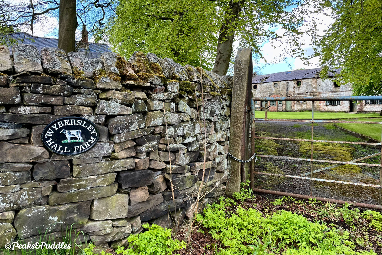
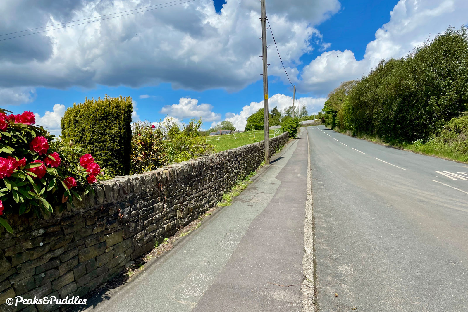
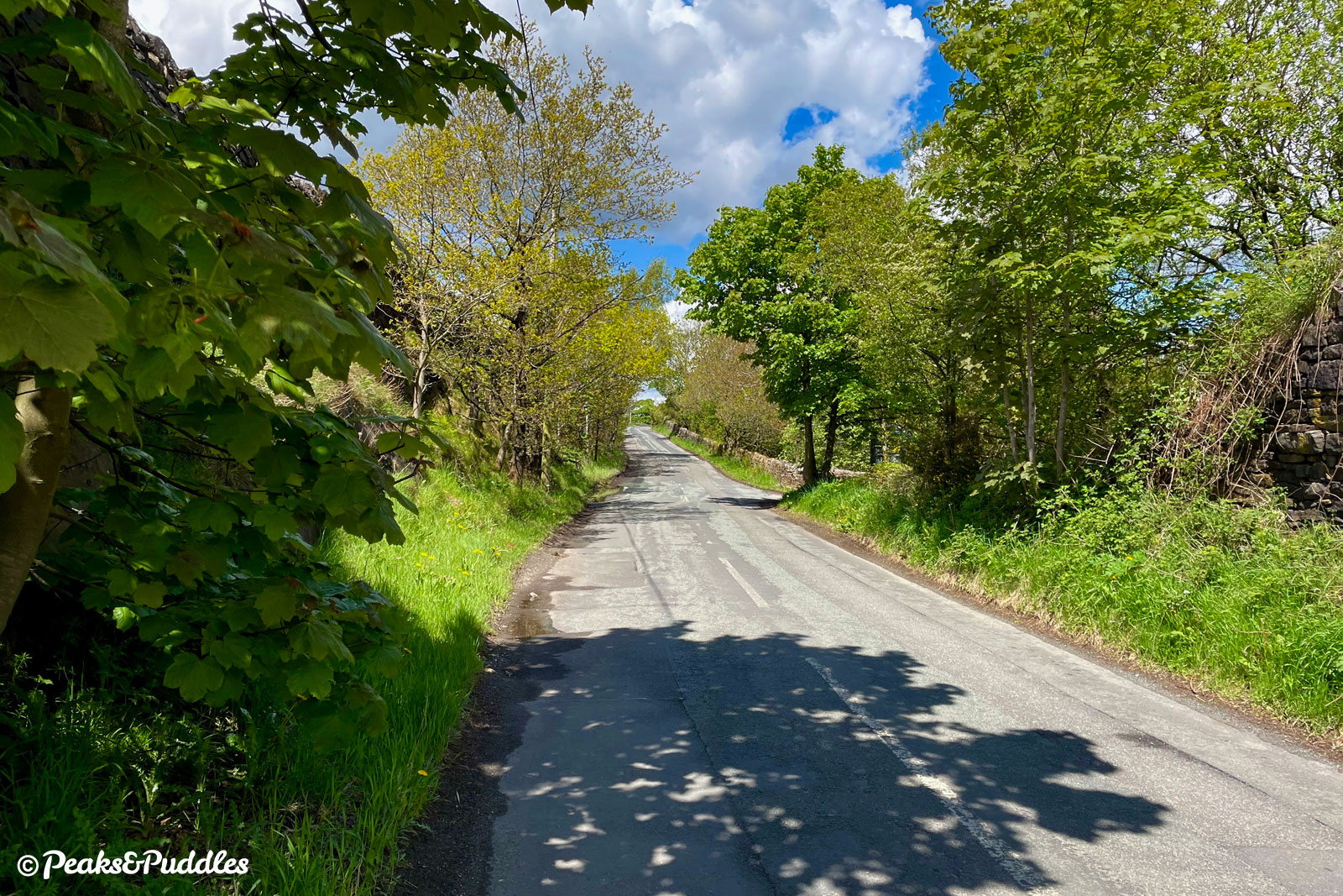
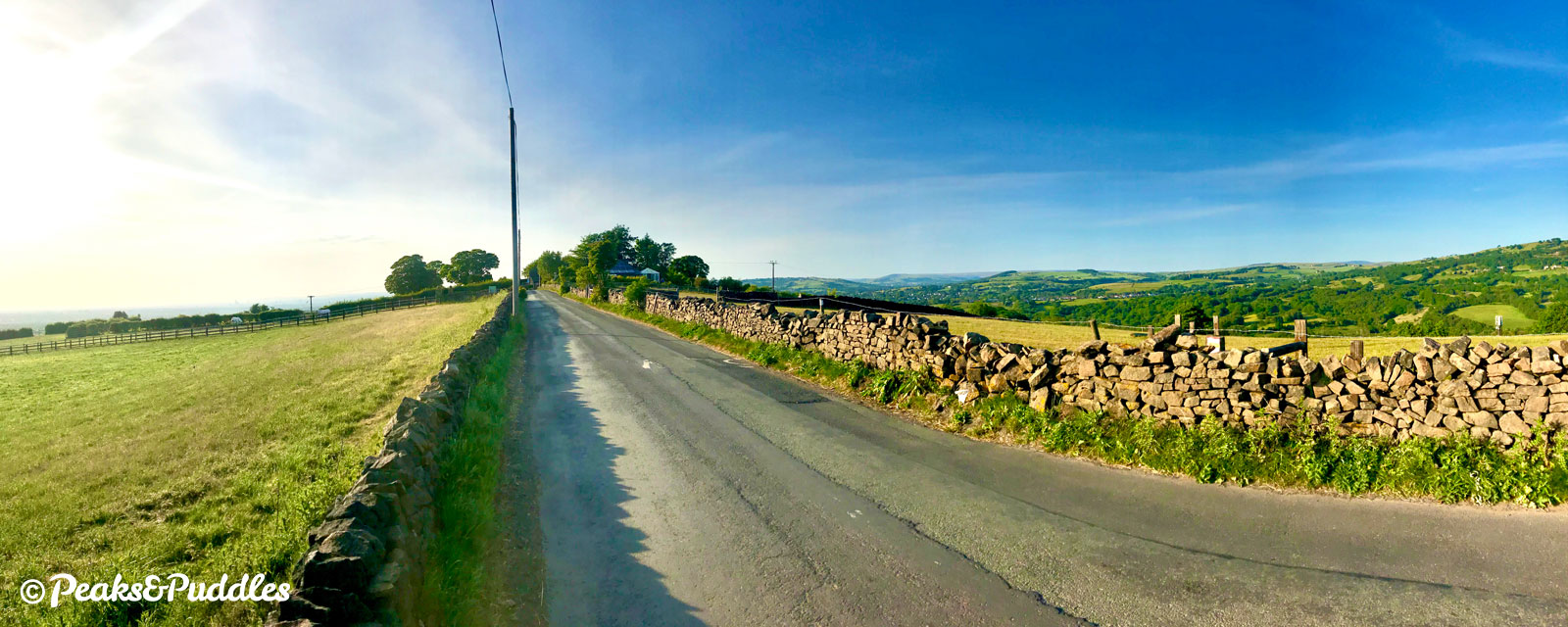
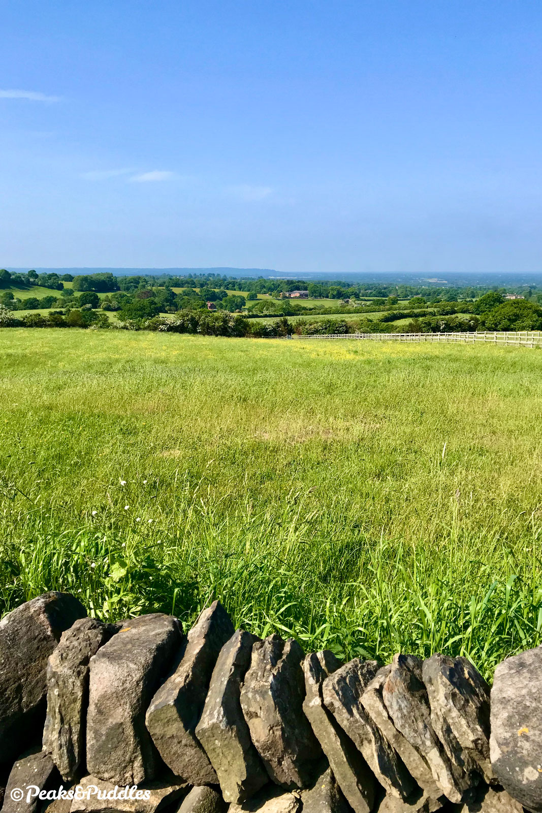
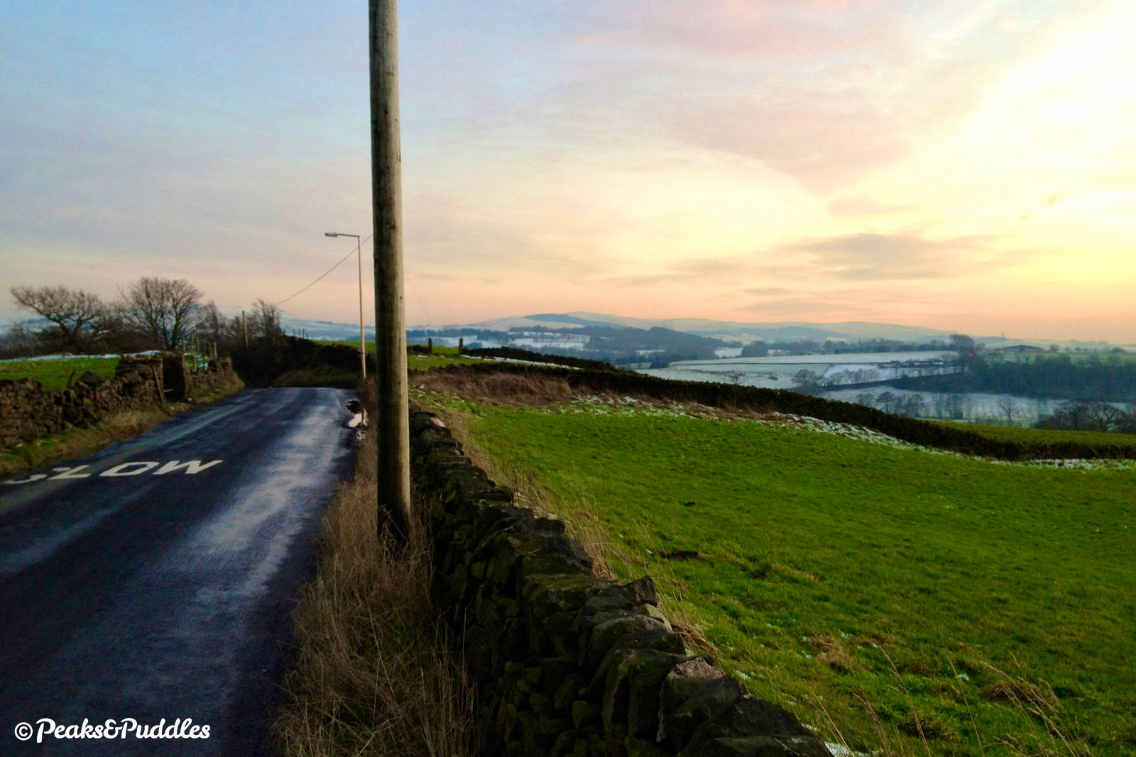
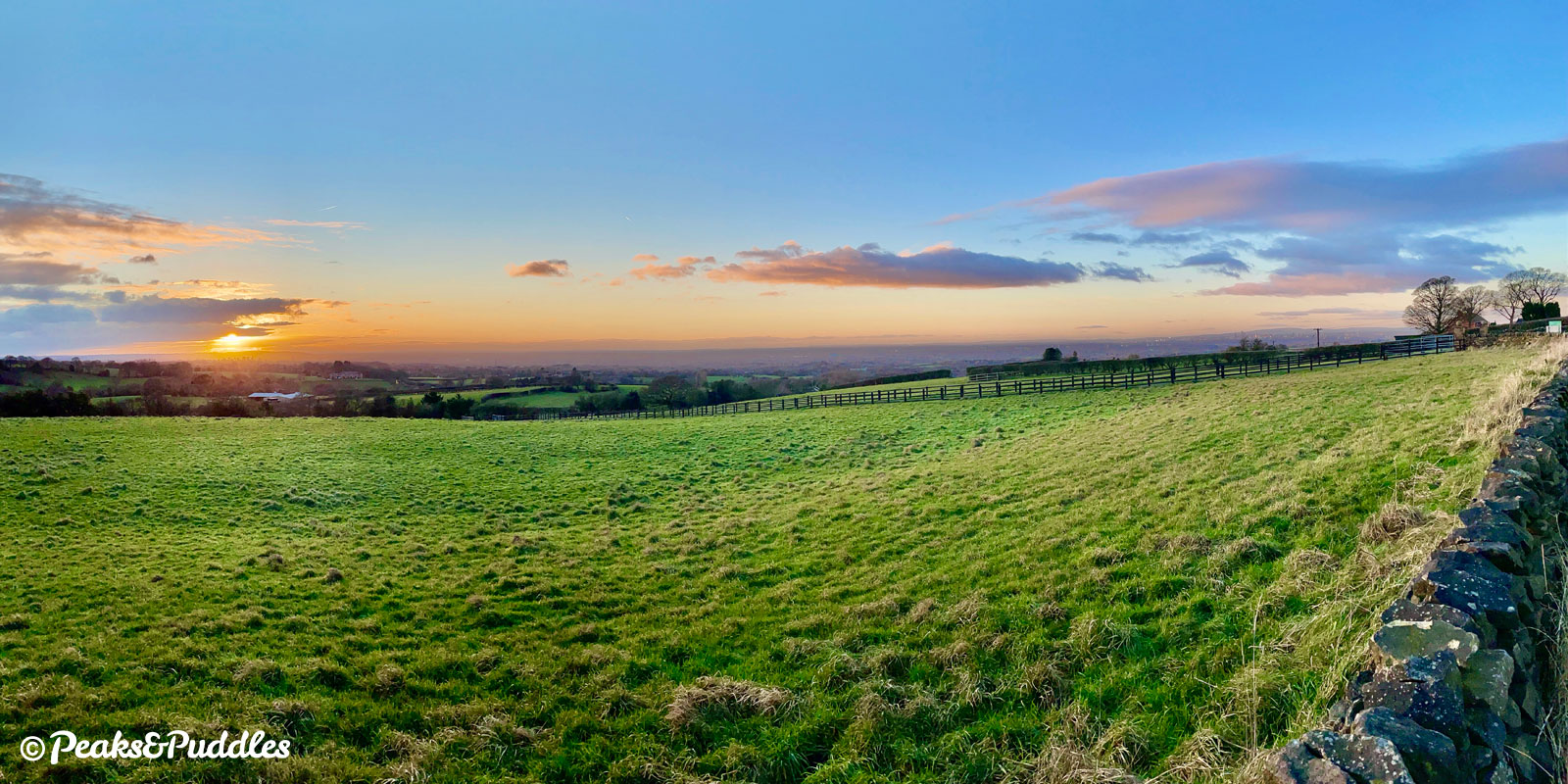
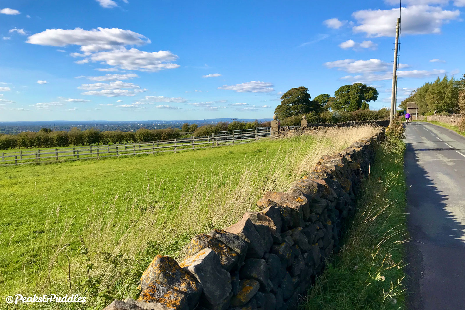
- This is now the start of the gently undulating route known simply as The Ridge, continuing for 2.5 km (1.5 miles) along the hilltop which separates the River Goyt’s deep valley from the Cheshire plain. Around the first bend, it passes the Grade II-listed Wybersley Hall, notable as the birthplace of author Christopher Isherwood. Climbing only slightly, the first wide open views are suddenly revealed between hedgerows: across Cheshire to the wooded escarpment of Alderley Edge in one direction and the huge green hill of Cobden Edge the other. Behind it, the far more serious Kinder Scout; the Peak District’s highest point.
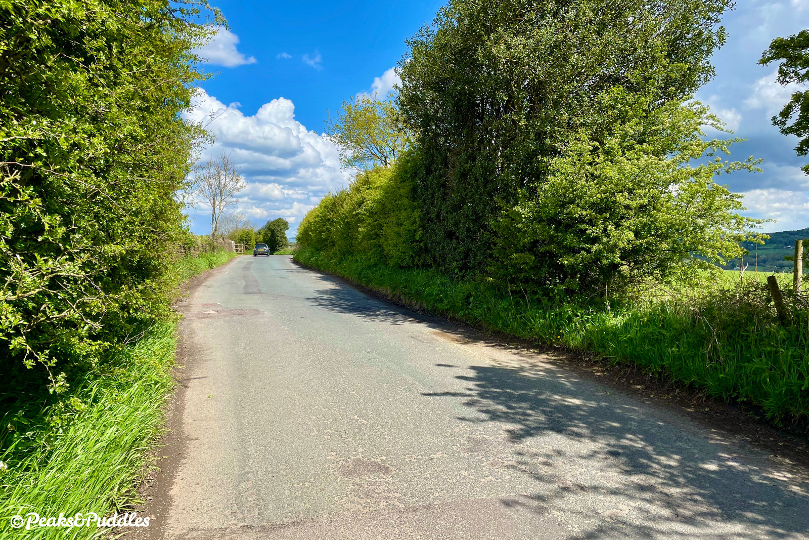
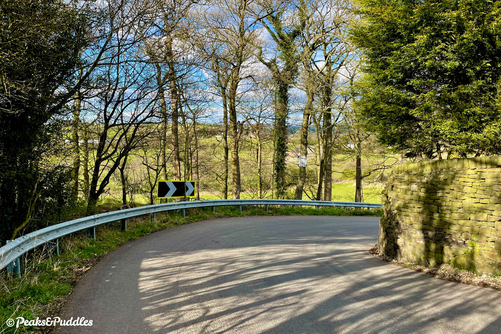
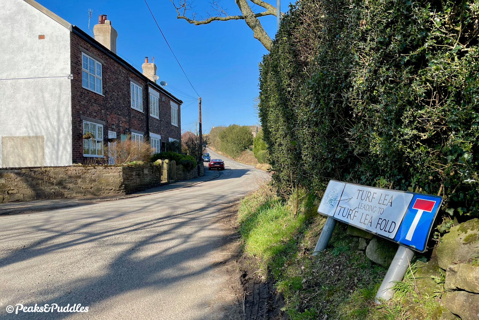
The lane now drops down steeply through a series of sharp bends towards Turf Lea, where it turns sharp left again to climb back up to Ridge End. Had the preferred route of the scrapped Disley and High Lane Bypass been built in the 1980s/90s, this is exactly where it would’ve cut callously across, decimating the entire landscape either side.
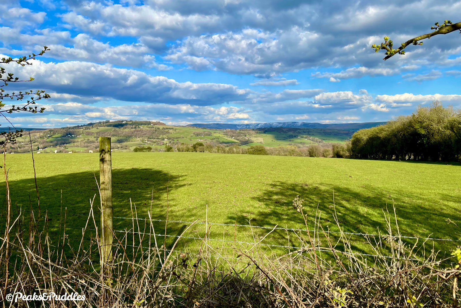
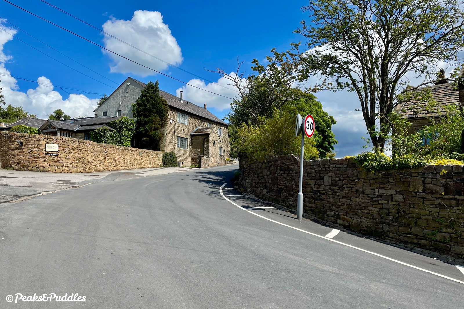
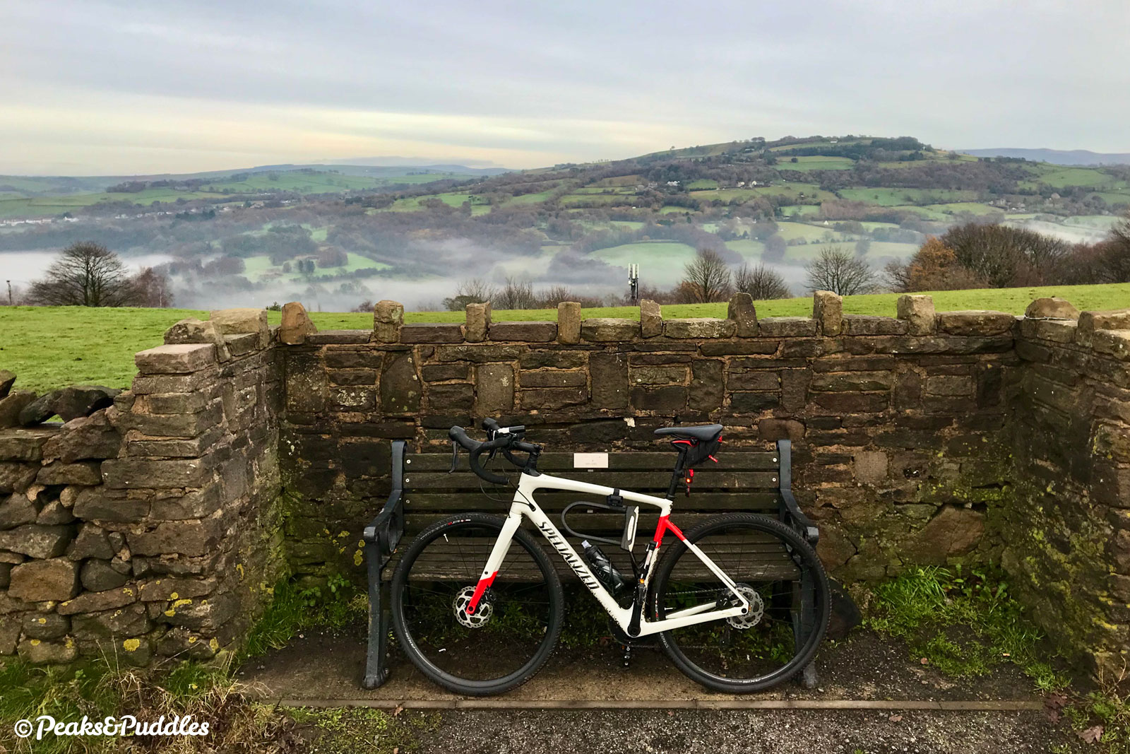
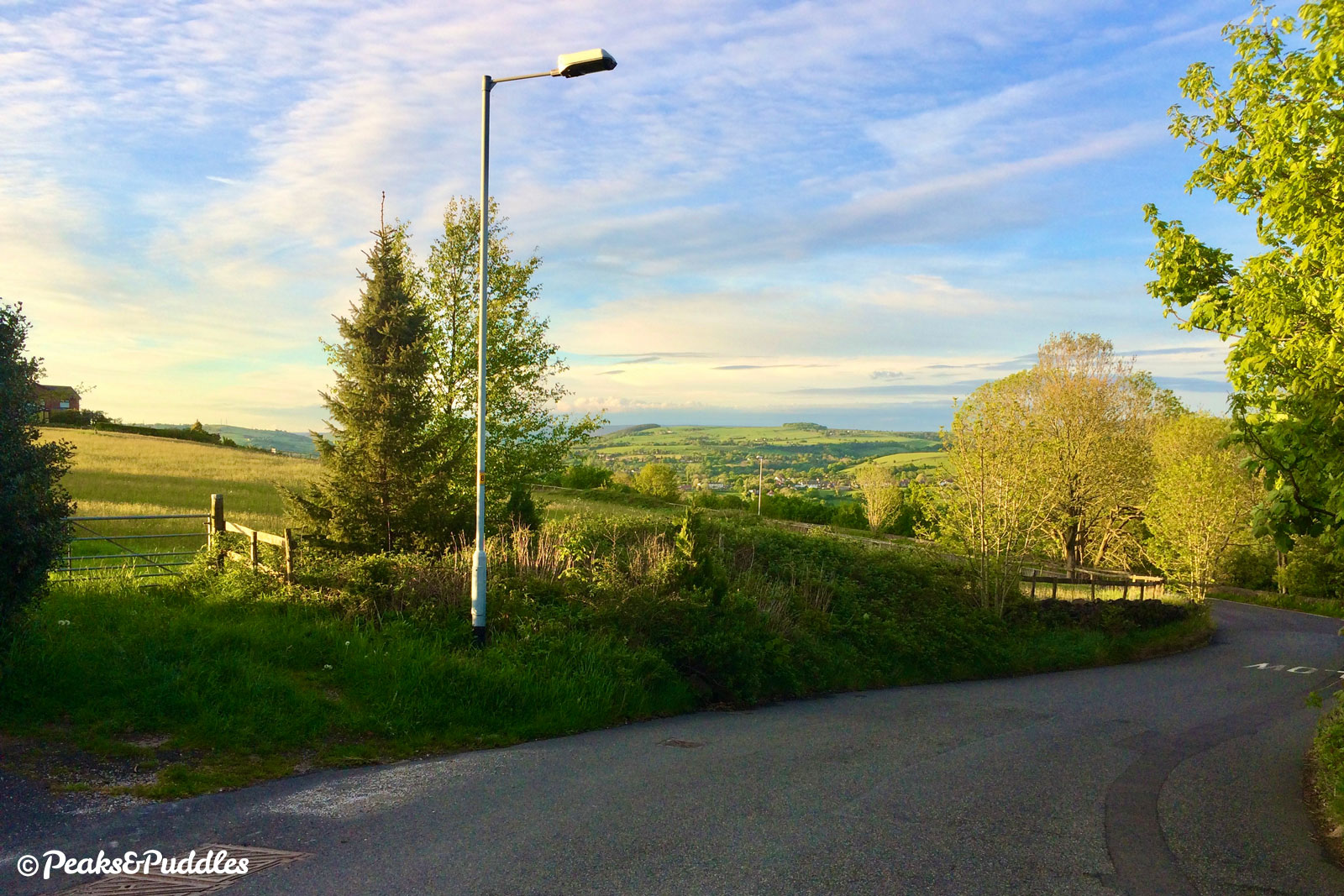
Twisting around the large house formerly known as The Romper pub, the lane makes a final climb past a small old quarry and then breaks out onto Marple Ridge itself. This stunning 360-degree viewpoint has something new to offer 365 days of the year, as the sun, clouds and rain dance over the landscape all around. Beyond the skyscrapers of Manchester, even Winter Hill in Lancashire and Fiddlers Ferry near Runcorn are clear. Looking behind, Lyme’s Cage now sits on its perfectly formed hilltop amongst the park’s golden moorland.
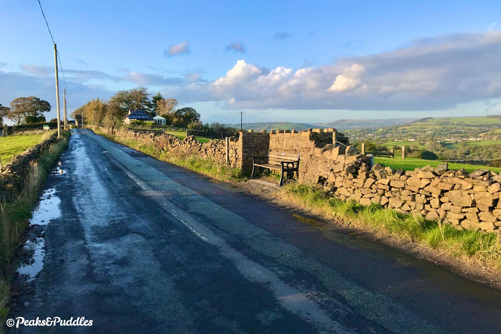
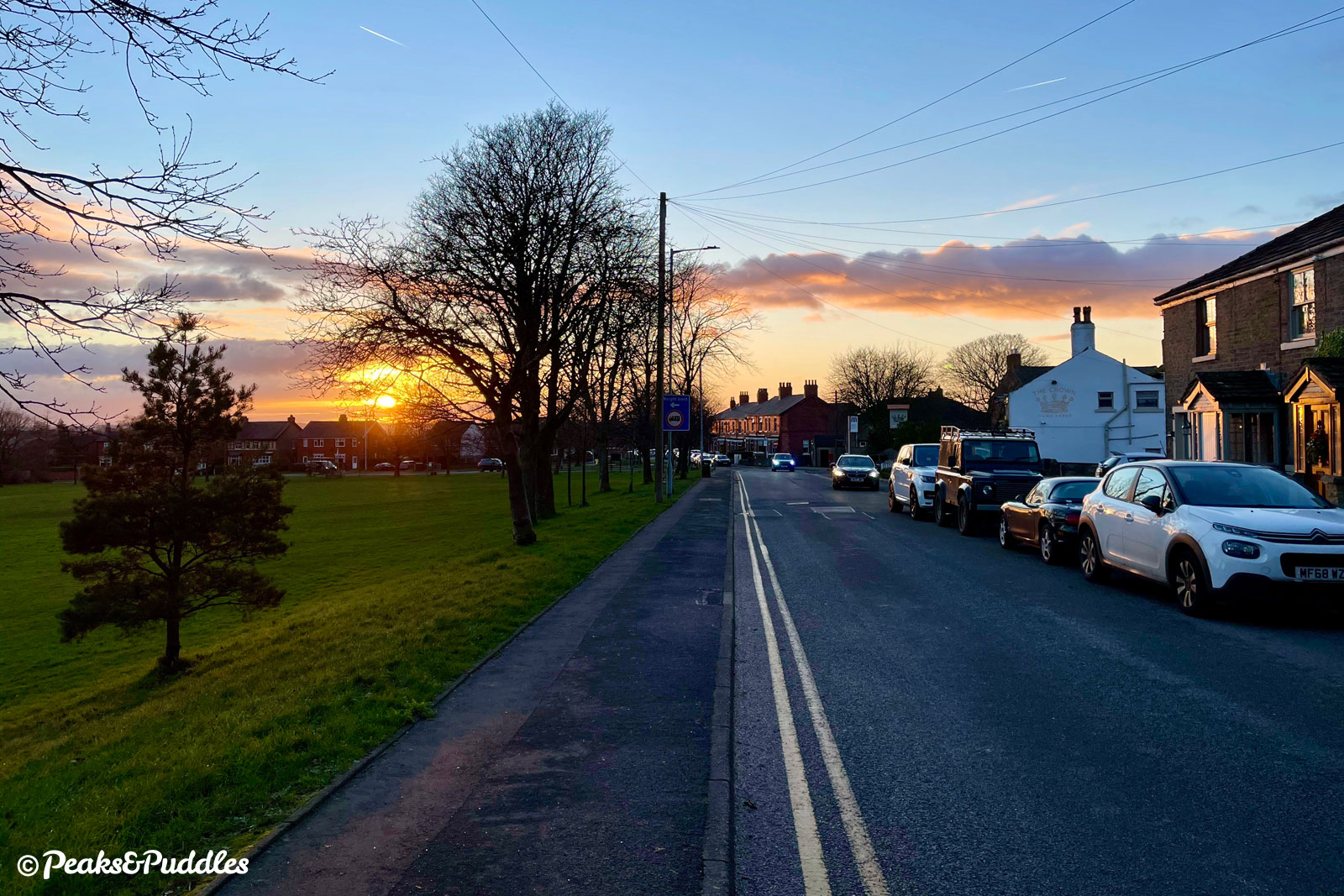
- Follow The Ridge ahead as it begins to tumble back down the hillside. After a final view over the Peak Forest Canal and just as Marple’s suburbia begins, turn left into Hawk Green Road, signposted Hawk Green. Now firmly back amongst redbrick housing, the road drops down past the large green itself.
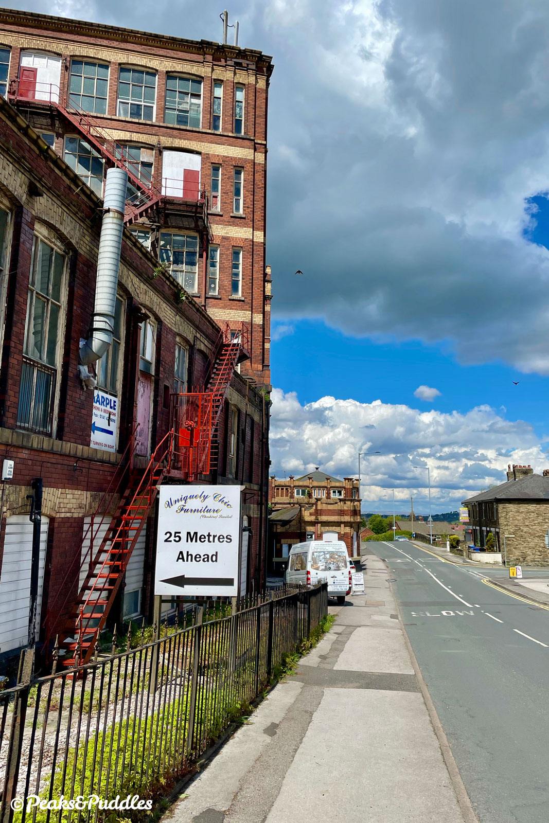
At the junction, turn right onto Upper Hibbert Lane, beginning an even longer descent towards the enormous Goyt Mill. The last cotton mill to be built in the area, in 1905, it was distant from river or rail but instead next to the Macclesfield Canal, which supplied coal from Staffordshire to the engines driving its machinery. You can’t miss the canal thanks to its humpback bridge giving some unexpected airtime. Hibbert Lane, dotted with speed cushions, continues further downhill until it bends right. Turn left into Buxton Lane, passing the town’s sixth form college over yet more humps.
- Near a local shop and pub as Buxton Lane bends sharply, turn off left into Wood Lane straight ahead (technically a left then right; watch for vehicles approaching from the left). Approaching a postbox at the bottom, bear right (taking care with the blind bend) into a lane between the trees, leading immediately back onto Middlewood Way. Turn right and follow the trail briefly back to the starting point at Rose Hill.
Other route options
- Avoiding the A6
11.4 miles (18.3 km), 849 ft (259 m)
If you don’t want to do the 300 metre dash down the A6 described in stage 3, then you can simply stay on Middlewood Way for a further 2.6 km (1.6 miles), though this will also cut out the first lanes and the level crossing. On the trail, continue over Middlewood railway station itself then leave at the ramp to a large kissing gate on the right. This requires dismounting and the short path which follows is officially “no cycling”. Emerging on Middlewood Road, turn left to continue in stage 3. Alternatively, the next level exit is all the way along at Shrigley Road, passed in stage 4 (leave the trail and turn right to resume), or there’s a cobbled ramp on the right-hand platform of former Higher Poynton station. - Alternatively, if you’d rather stick as much as possible to trail, towpath and quiet residential roads, see the Lyme Loop cycle route guide for a gentler circular loop through the park.
The alternative route is included as an extra GPX file in the Pocket Guide & GPX download.
Found this guide helpful?
Please consider chipping in the price of a coffee to help pay the bills and support my work. Or become a Peaks & Puddles Plus supporter to get access to exclusive routes and pages in return.
Useful links
- Lyme
Official National Trust website with opening hours, visitor info and history.
Original photography, words and design by Anthony Sheridan unless indicated otherwise. Found this guide helpful? Buy me a coffee to help keep the wheels turning!
The all-important disclaimer: While great care and attention has been put into gathering these routes, ensuring details are accurate and determining their suitability, all information should be used as a guide only and is not a replacement for using your own judgement or research when setting out on new adventures. Peaks & Puddles/the author cannot be held responsible for any issues that may arise from the riders own decision to ride a section of indicated route.
Always ensure your equipment is safe and legal for use and that you are well prepared, carrying everything necessary including access to a good map. Follow the Highway Code and the Countryside Code at all times. Respect the landscape, the wildlife and the people you encounter. And after all that, have fun!