Explore the northerly end of the busy High Peak and Tissington trails then branch out into gentle hills and dales near Hartington for the return trip. This circular loop includes the village of Biggin and the dramatic yet wondrously quiet, easy-going road up Long Dale.
Route details
- Distance
 14.7 miles / 23.7 km
 - Elevation Gain
 193 m / 633 ft
 - Time allow 1 hour 30 minutes
- Difficulty
 Gentle
 - Suited to
 All Bikes
  Gravel Bikes
  Mountain Bikes
 - Notes Road Bikes: trail surface can be quite coarse in places, wider tyres are recommended. Non-Standard Cycles: short access paths leaving and rejoining trail are likely too steep, narrow and bumpy.
- Suggested Start SK17 9QJ SK 1279 6593
- Places Biggin, Hartington, Hurdlow, Parsley Hay
- Attributes Bridges, Car parking, Circular loop, Cycle hire, Dales, Gentle climbs, Ideal for electric bikes, Industrial heritage, National Cycle Network, Pubs and cafés, Railways, Suitable for older kids, Towns and villages, Views of hills and peaks, Views of open countryside
Despite building the Buxton to Ashbourne railway line with stations in some unlikely, almost uninhabited places, the London & North Western Railway somehow bypassed the village of Biggin, right beside the route.
They chose instead to build a station one mile further north, named Hartington, despite it being even further away from that Peak District honeypot. Perhaps it was to Biggin’s favour?
The place is certainly supported by tourism today, with a popular pub and campsite, but hardly overrun by it; it feels very much like that rarest of things: a genuine, undisturbed Peak District village.
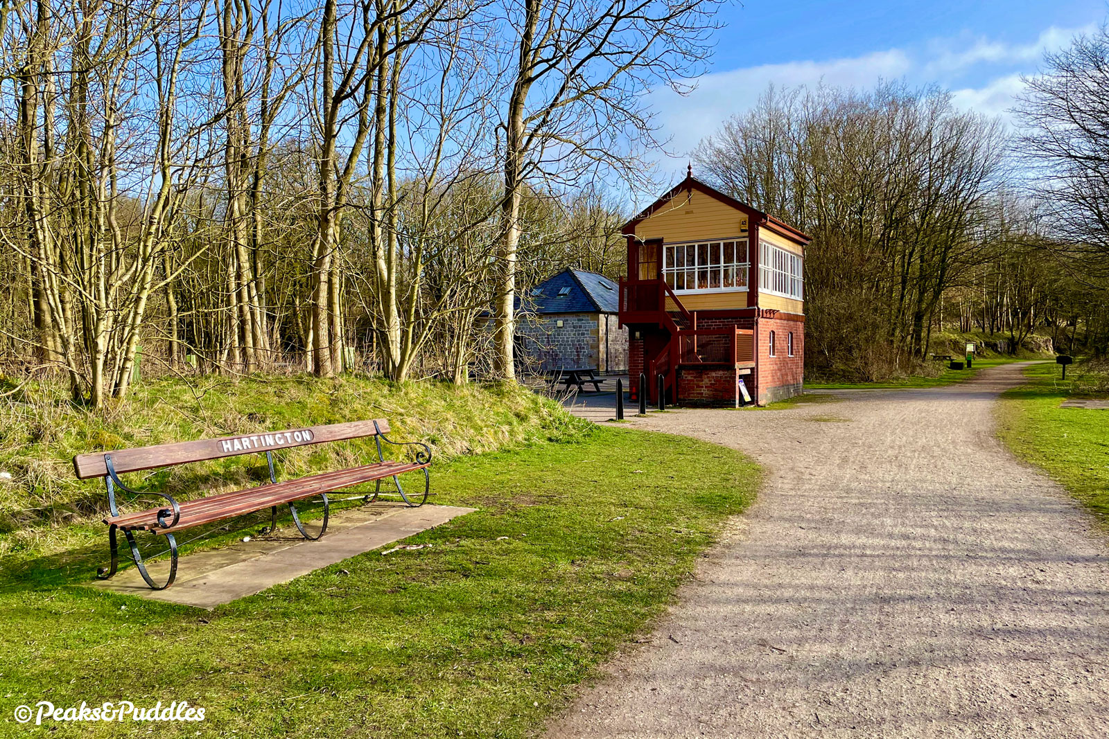
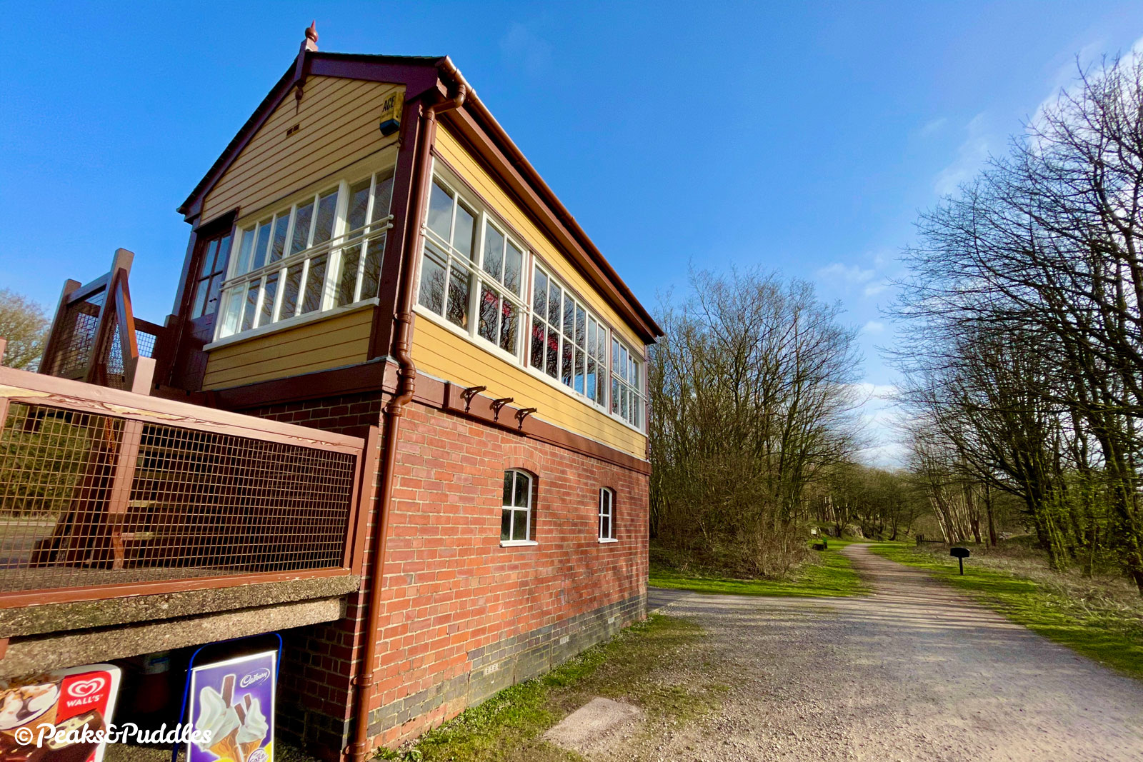
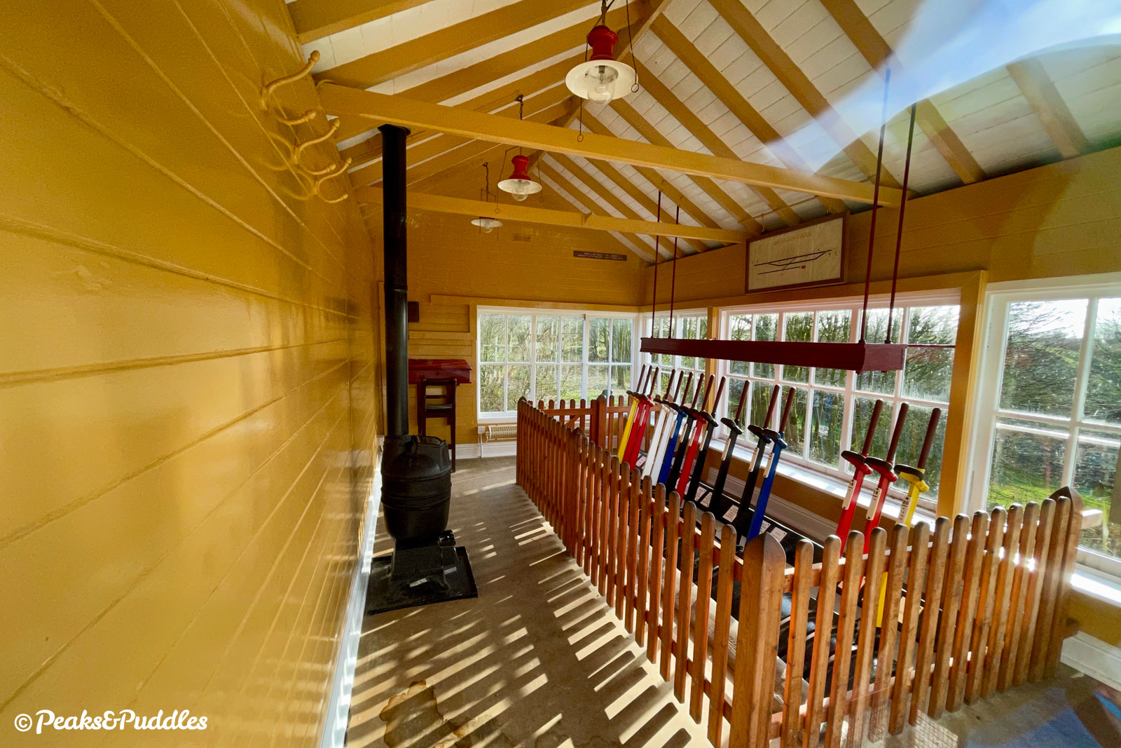
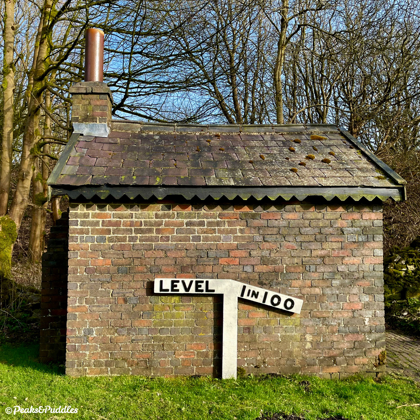
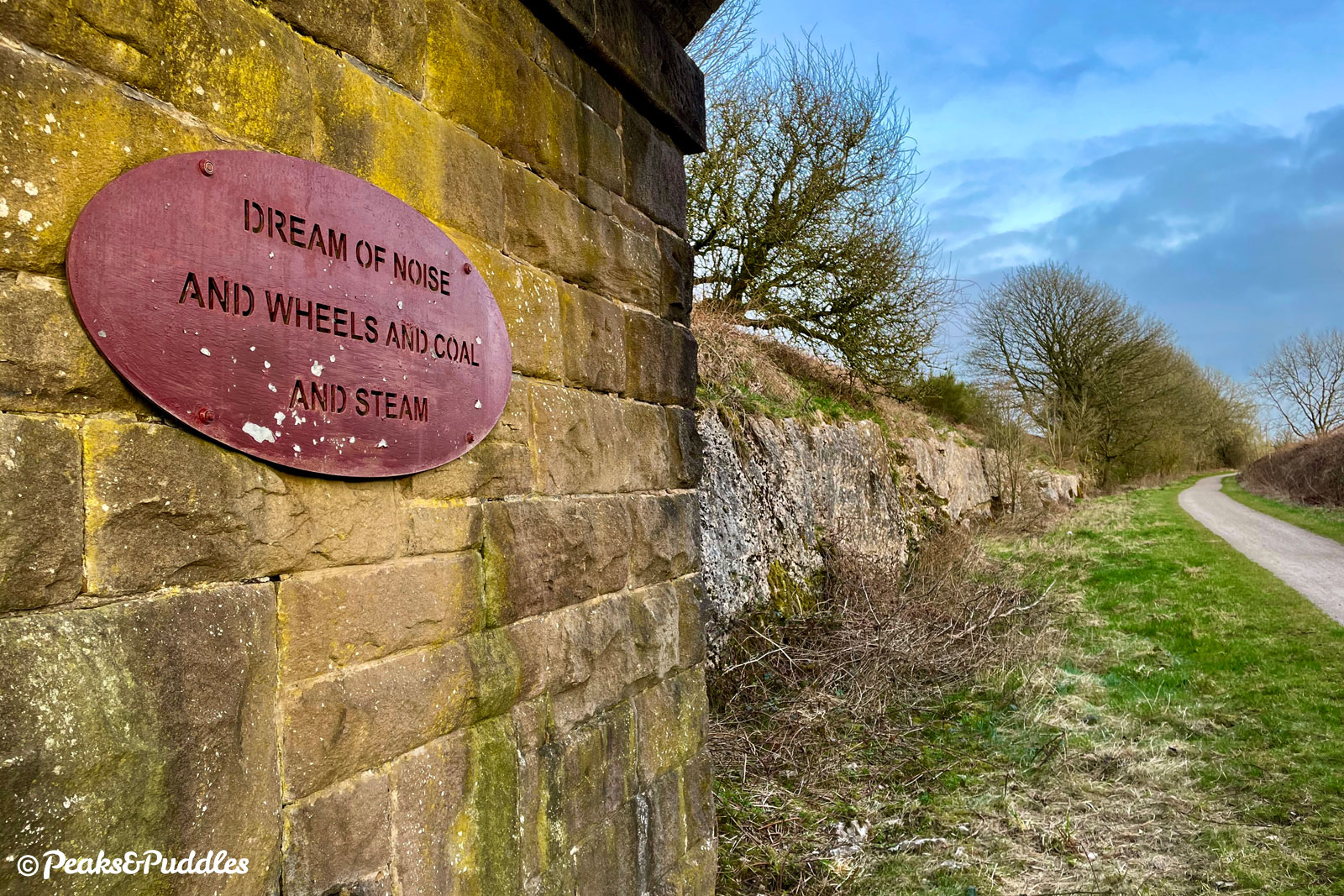
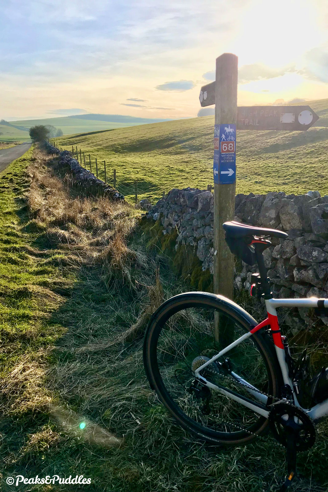
After starting out near the northern end of the High Peak Trail, most of this loop outbound is along the Tissington Trail which now occupies the former railway, taking in key sights like the impressive rock cutting and Hartington Signal Box.
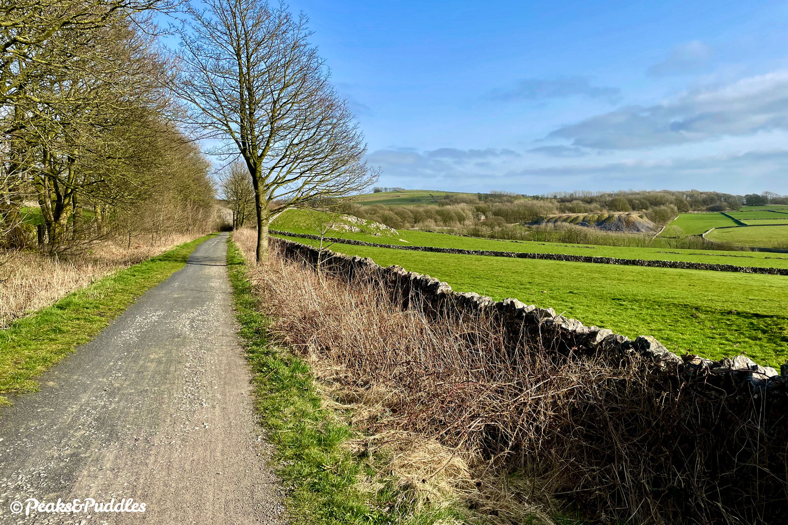
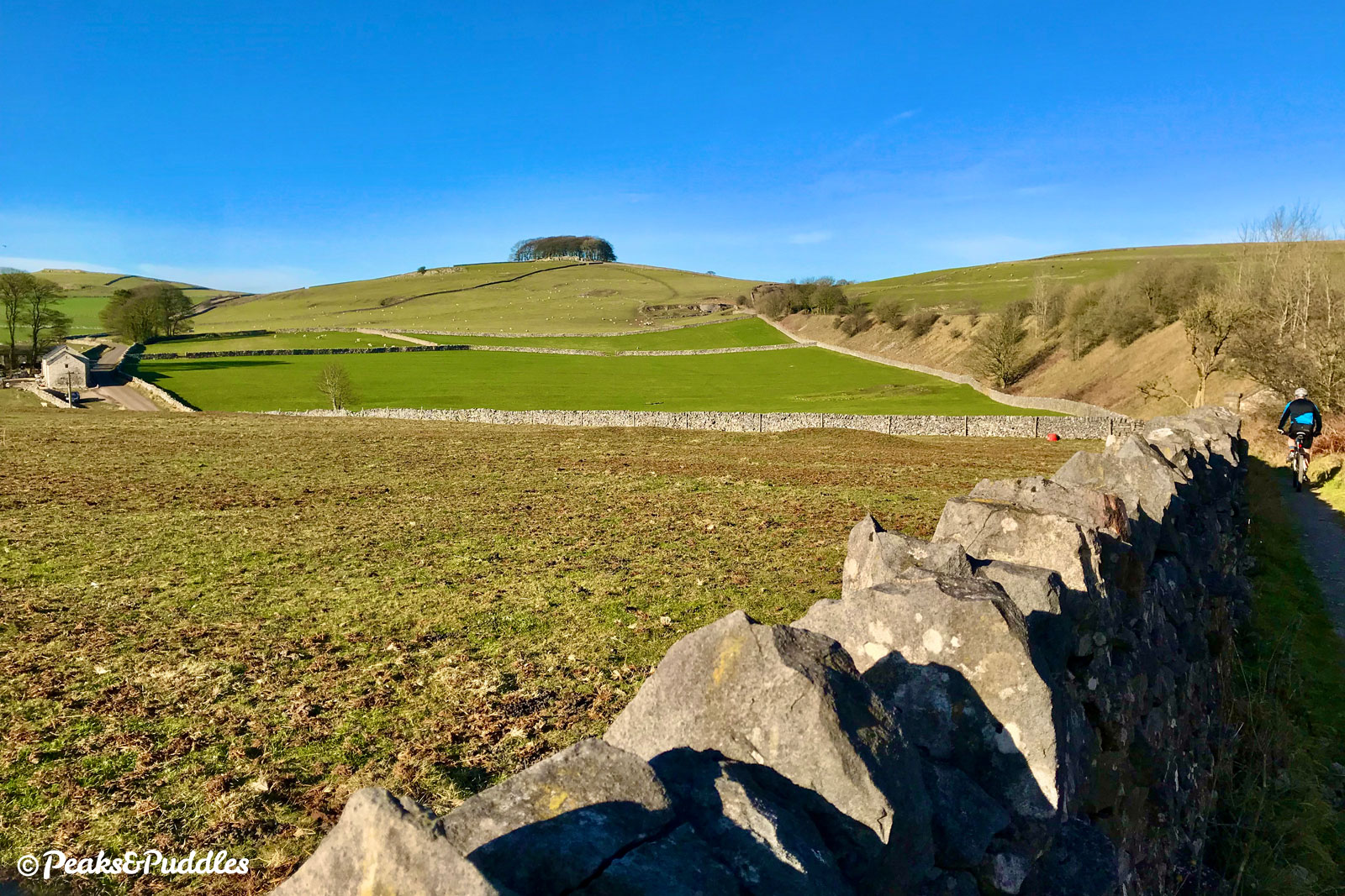
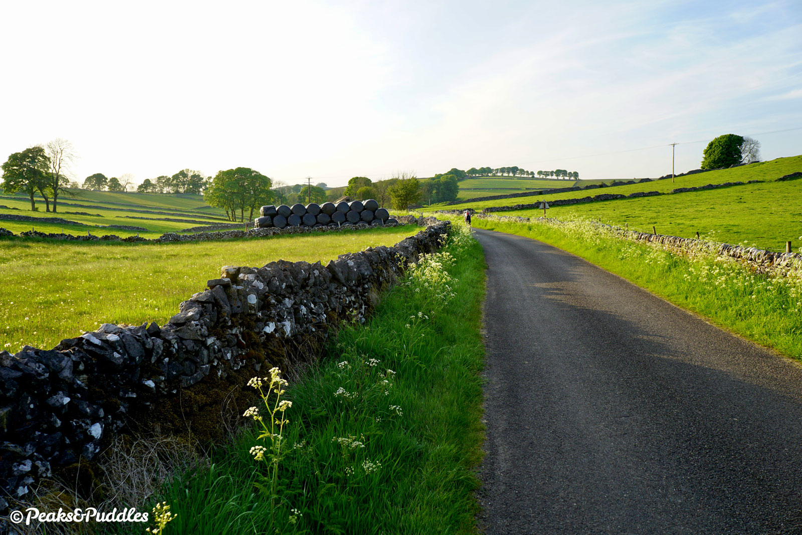
The trail’s downfall is often the long slog back northwards, uphill in a wearyingly gentle way. Turning off and exploring these lanes through Biggin instead creates a far more rewarding ride, with more variety of both sights and gradients. Yes there are slightly more hills, but they are far better hills!
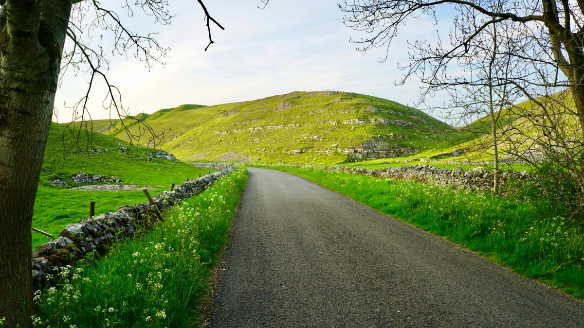
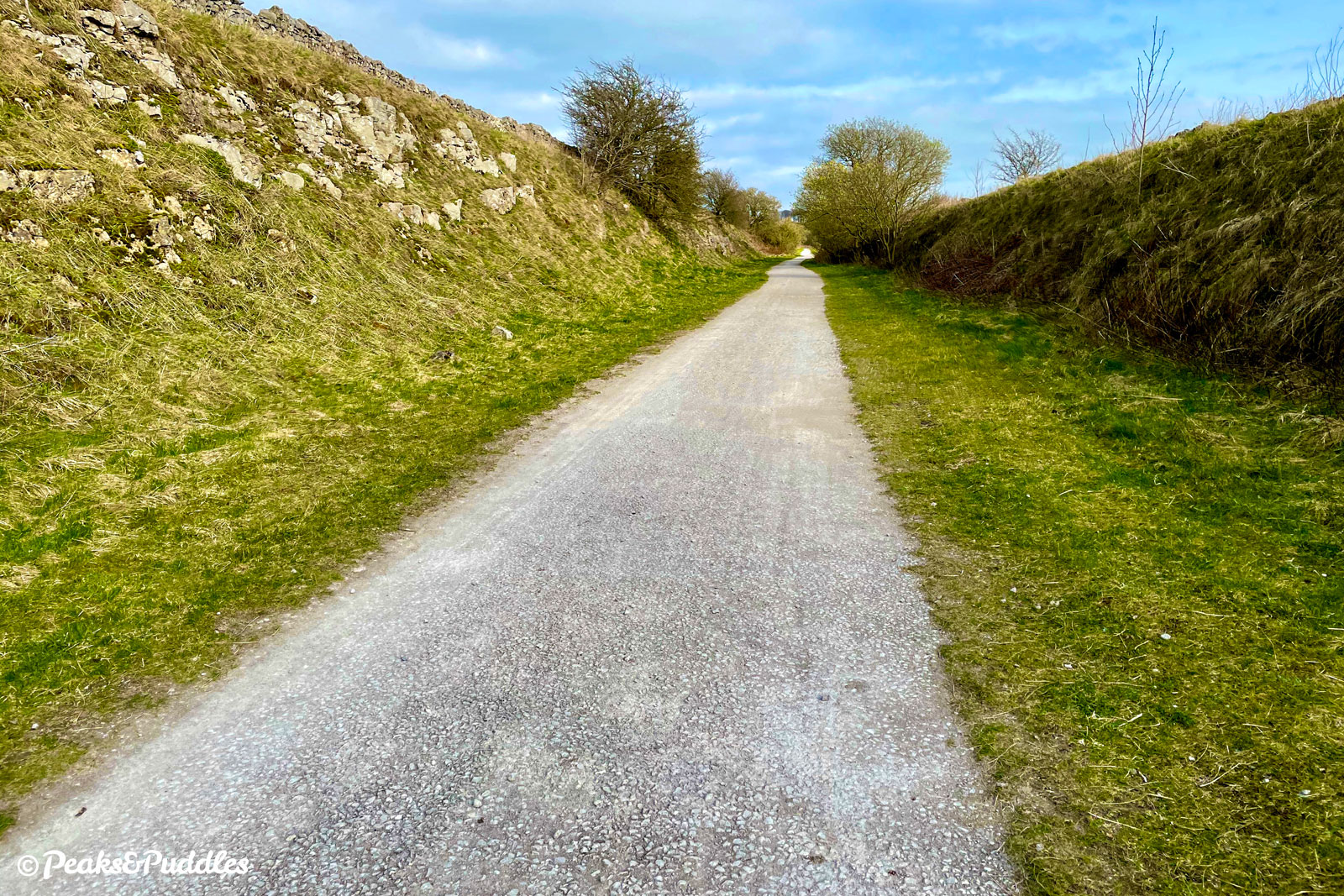
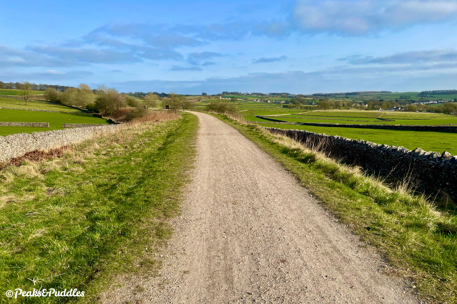
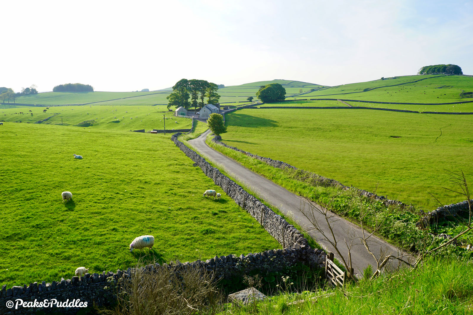
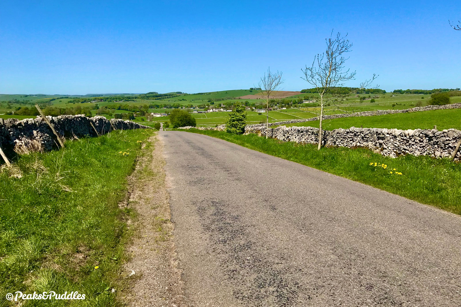
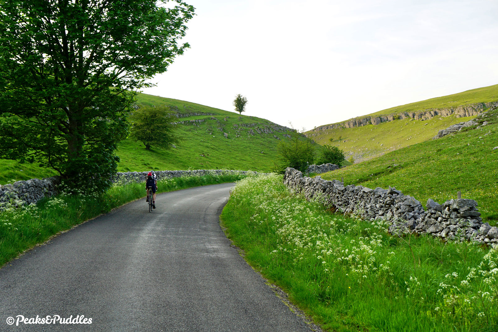
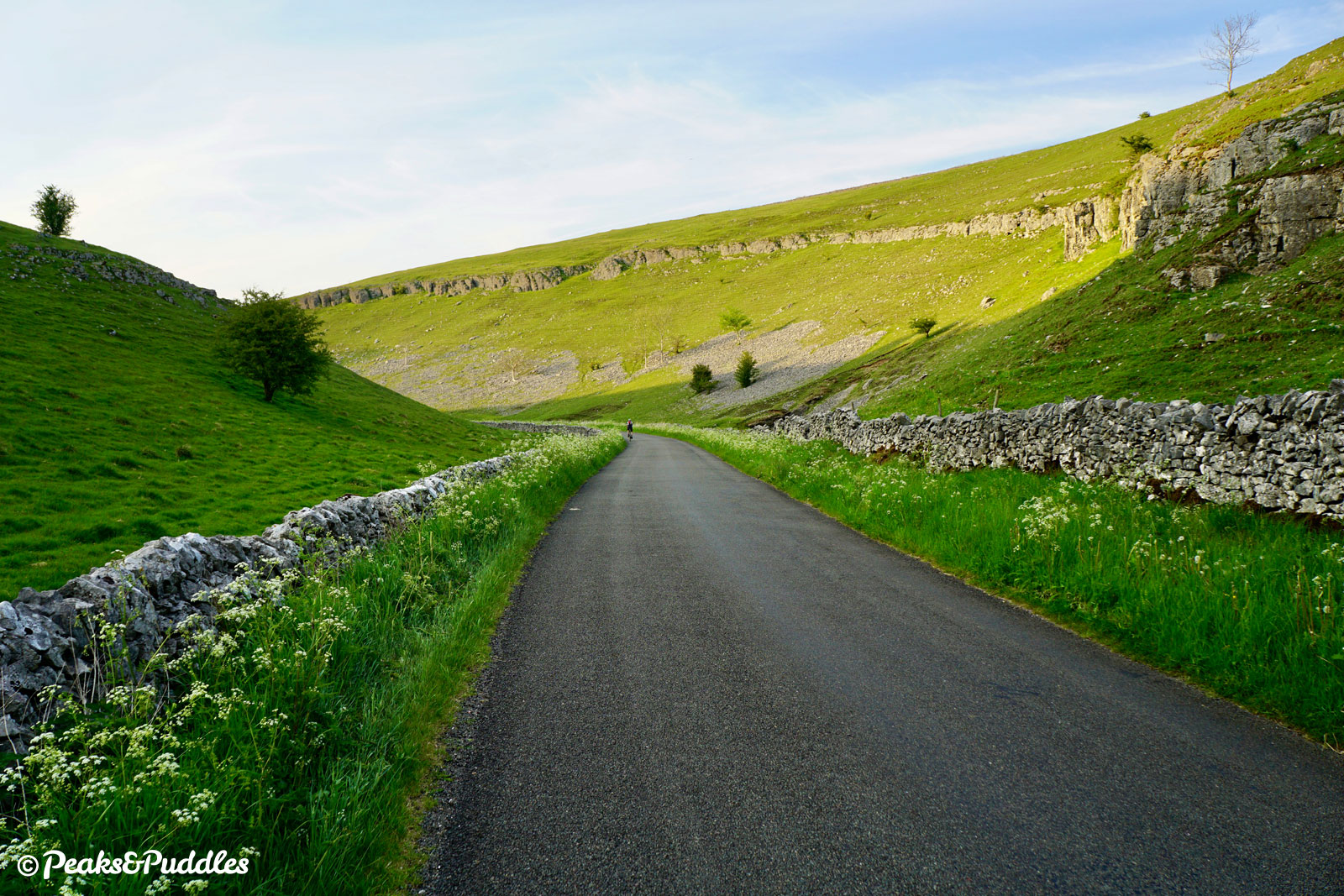
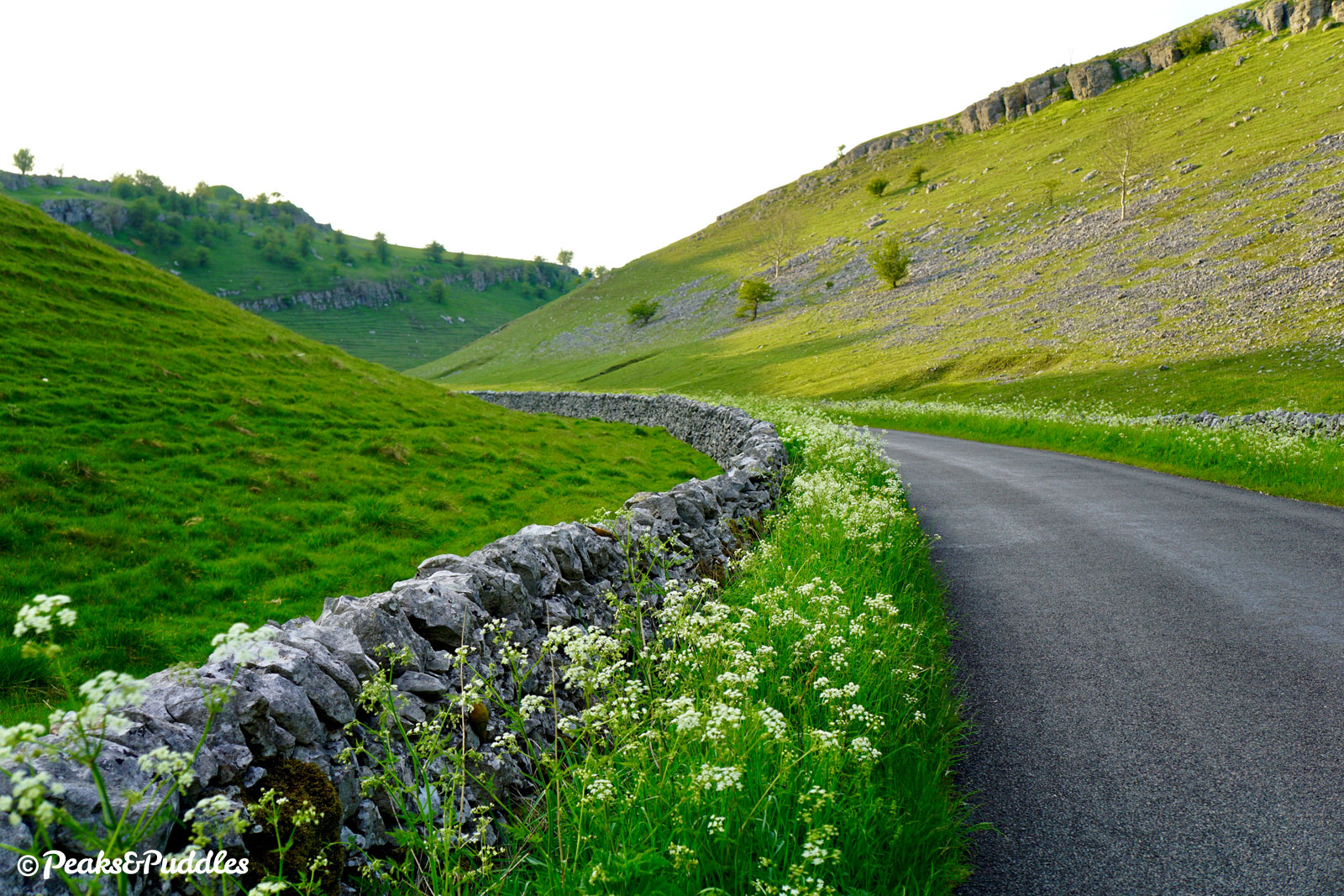
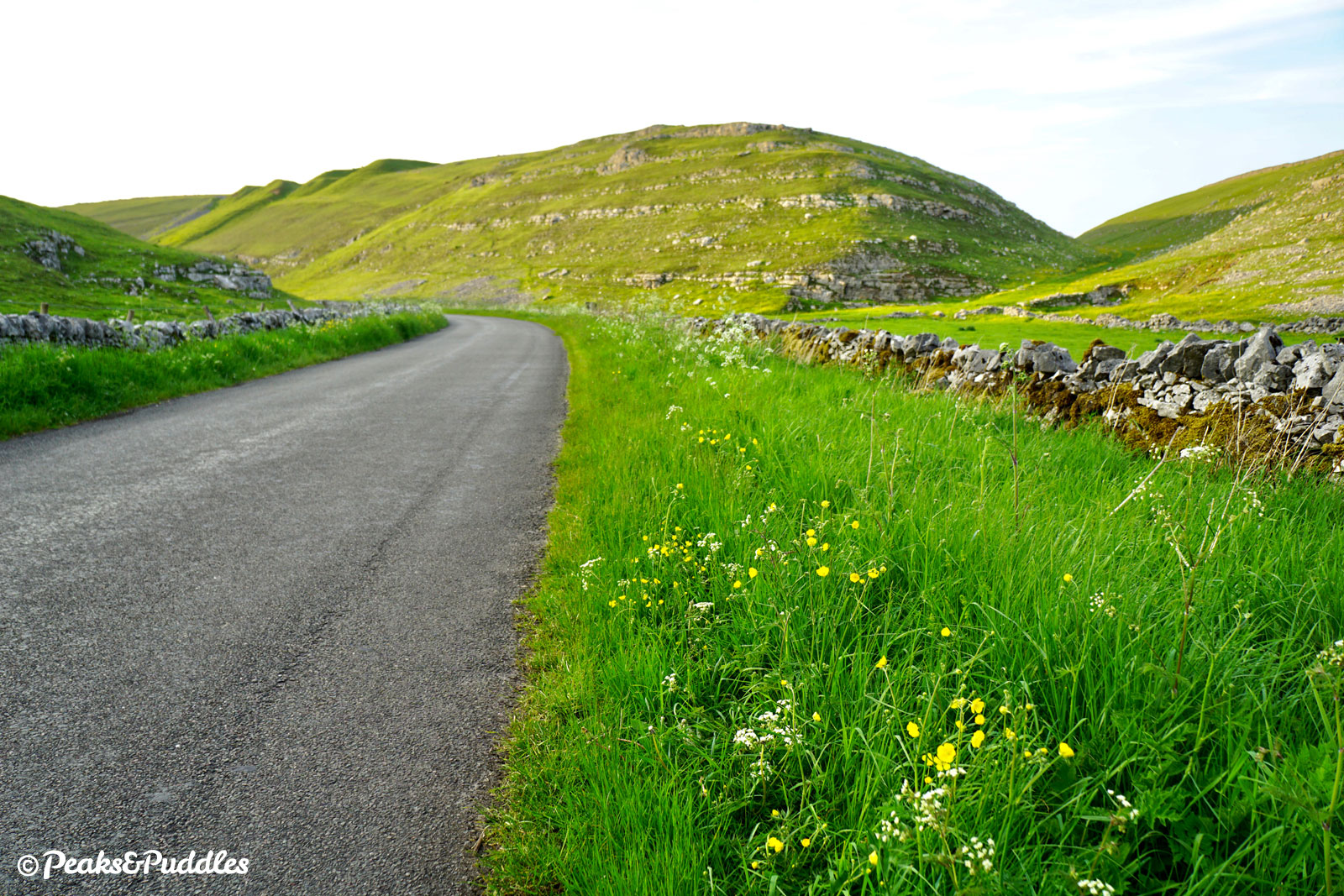
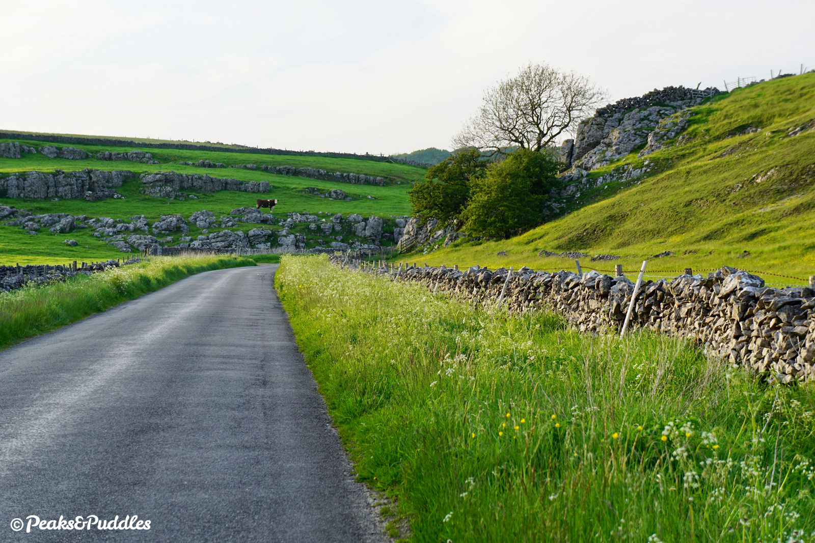
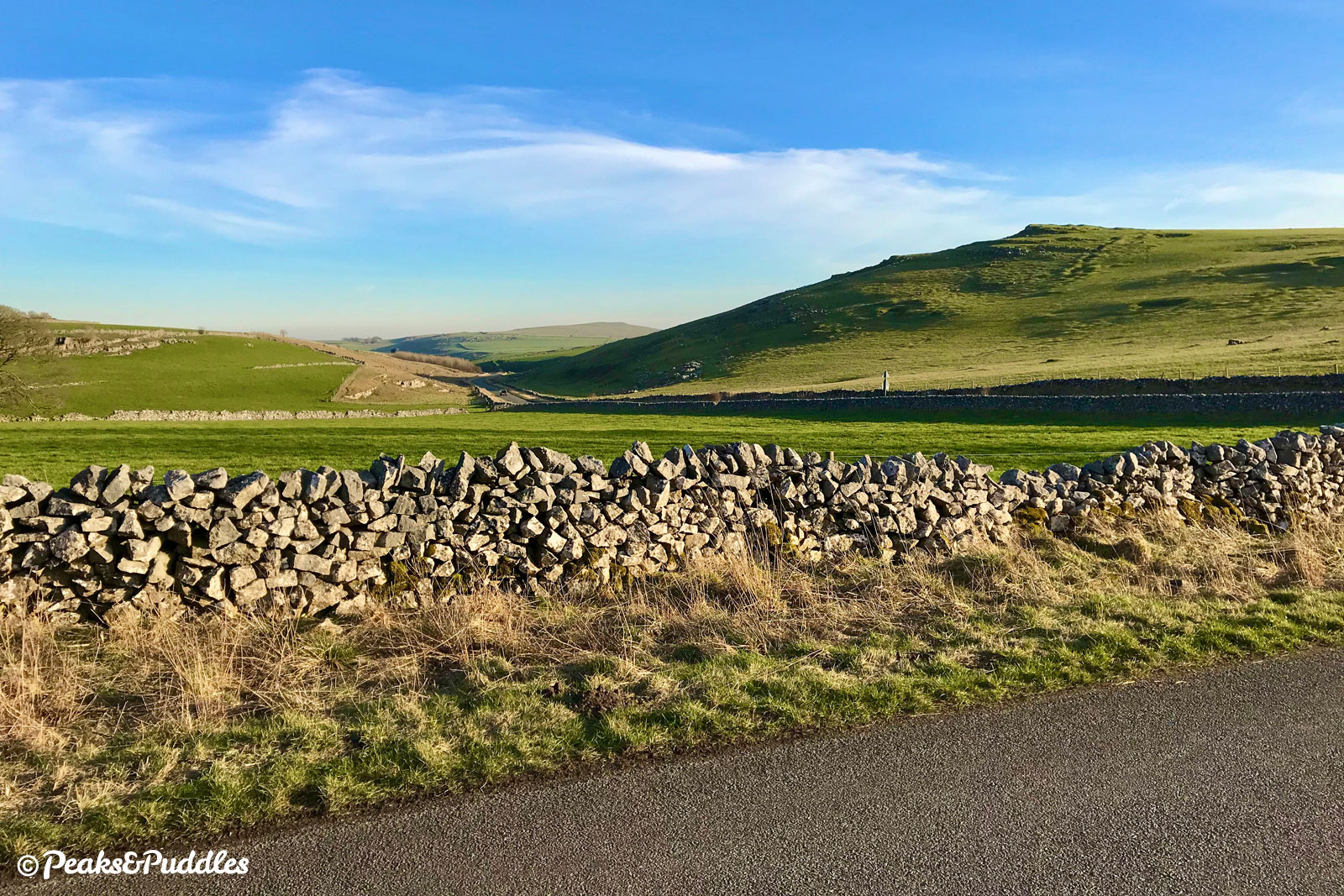
Long Dale is the star of the show, a classic White Peak dale with limestone peeping through its green sides. Not to be confused with that of the same name further east near Gratton, this dale is different: it has a road running up it!
But as a road that largely goes from nowhere to nowhere, it’s remarkably almost devoid of traffic and yet pleasantly wide as it gracefully follows this majestic hollow in the landscape — absolutely one of the cycling wonders of the Peak!
Route map
The route stats featured here are automatically generated by Komoot. For the most accurate guide, please refer to the route details above, based on actual rides recorded by Strava.
Where to start
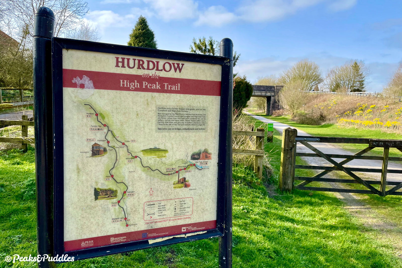
The former Hurdlow station on the High Peak Trail is the starting point for this ride, though you can just as easily start from the busier Parsley Hay further south, Hartington station or indeed any of the minor lanes which cross the trails. Getting out of the built-up areas to those, by bike, can be the difficult part and the hellish main A515 should be avoided at all costs.
From Buxton in the north, the signposted Route 68 takes you all the way to the start of the trails, but it’s a challenging and in some places not even entirely pleasant ride. It heads out of the town via a long climb up to Harpur Hill on an unforgiving and increasingly busy road. From there, a new gravelly path on the White Peak Loop, with several annoying gates, goes up over Staker Hill towards Earl Sterndale, near the top of Long Dale.
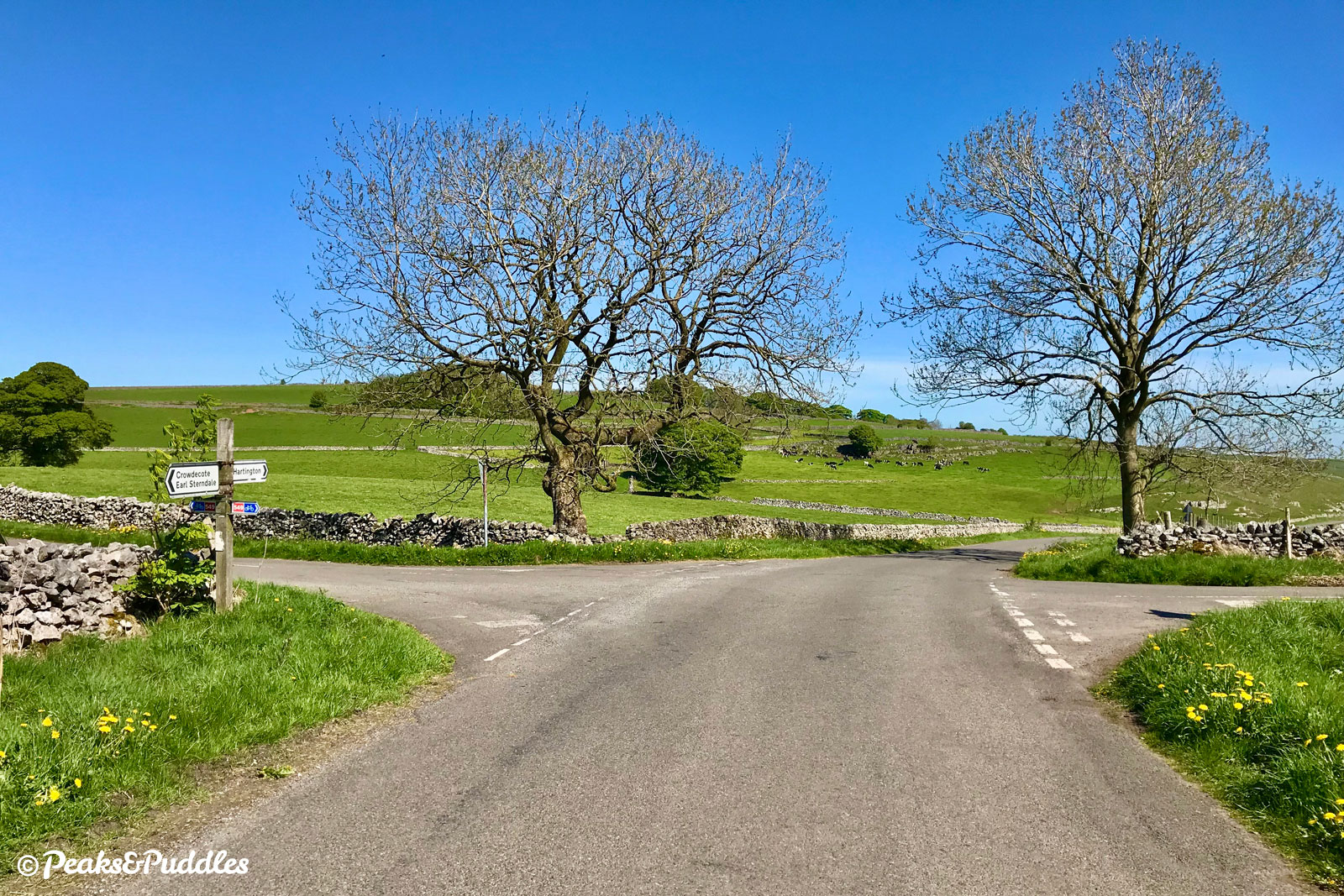
From Hartington and the west, turn into Hall Bank and follow the National Cycle Network Route 548 signs, which lead to Biggin (at Step 5 in the route description). From Monyash and the east, The Rake is a good, quieter link into Parsley Hay, though take care crossing the A515. Ashbourne and the south are easily connected thanks to the Tissington Trail itself.
By train: Buxton railway station is some 10.3 km (6.4 miles) to the north and a challenging trek via the disjointed Route 68 via Harpur Hill (see above), so not exactly a good option unless you’re particularly adventurous and confident.
By car: Hurdlow car park at the start of the route is smaller though often much quieter than the main hub of Parsley Hay further south. Hartington station car park is also on the route. They’re pay and display, but if you’re riding in summer it’s free after 6pm.
Things to note
- This route includes a short length of the High Peak Trail before branching onto the Tissington Trail for most of its route south. The trails themselves have a good, reasonably wide surface with no obstructive barriers along the way and the parts featured have a gentle downhill gradient.
- Leaving and rejoining the trail at the access points used here will require dismounting, however, as they’re very narrow with loose stone, drop quite steeply off the former railway embankment and have wooden gates at the bottom.
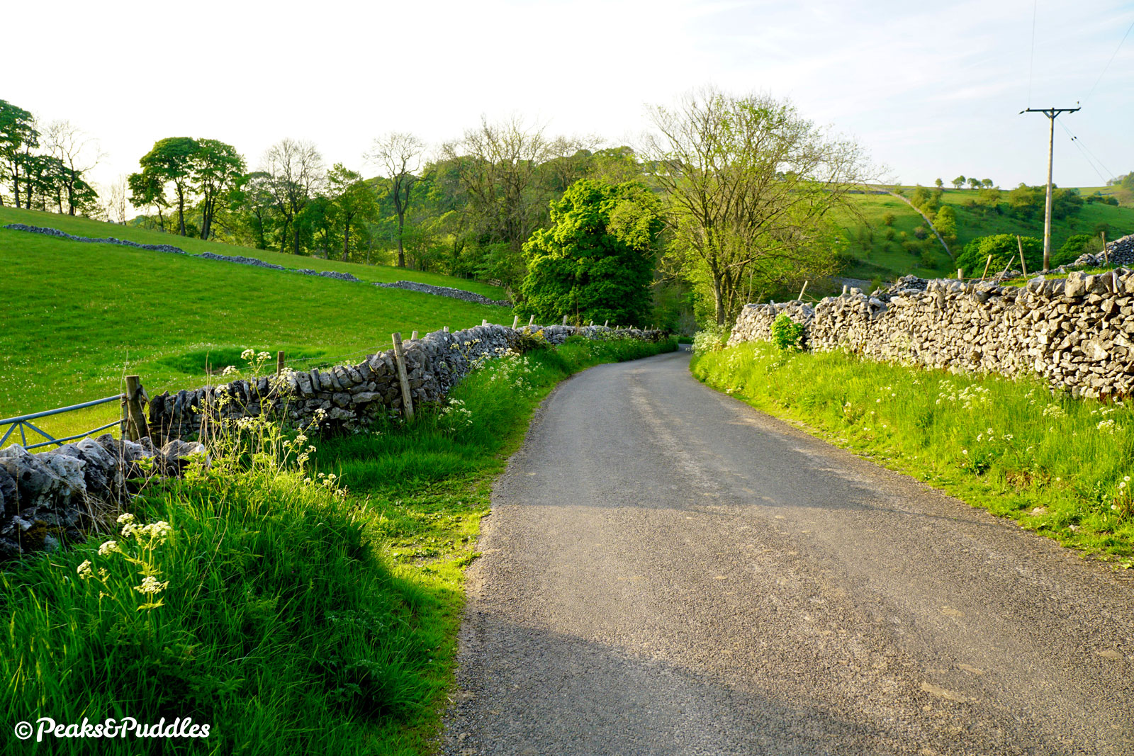
- Returning through Biggin and Long Dale, the lanes are all incredibly quiet but the odd vehicle will still be encountered. There are only two climbs (one longer just before Biggin and one much shorter afterwards) before the long, gentle climb up Long Dale.
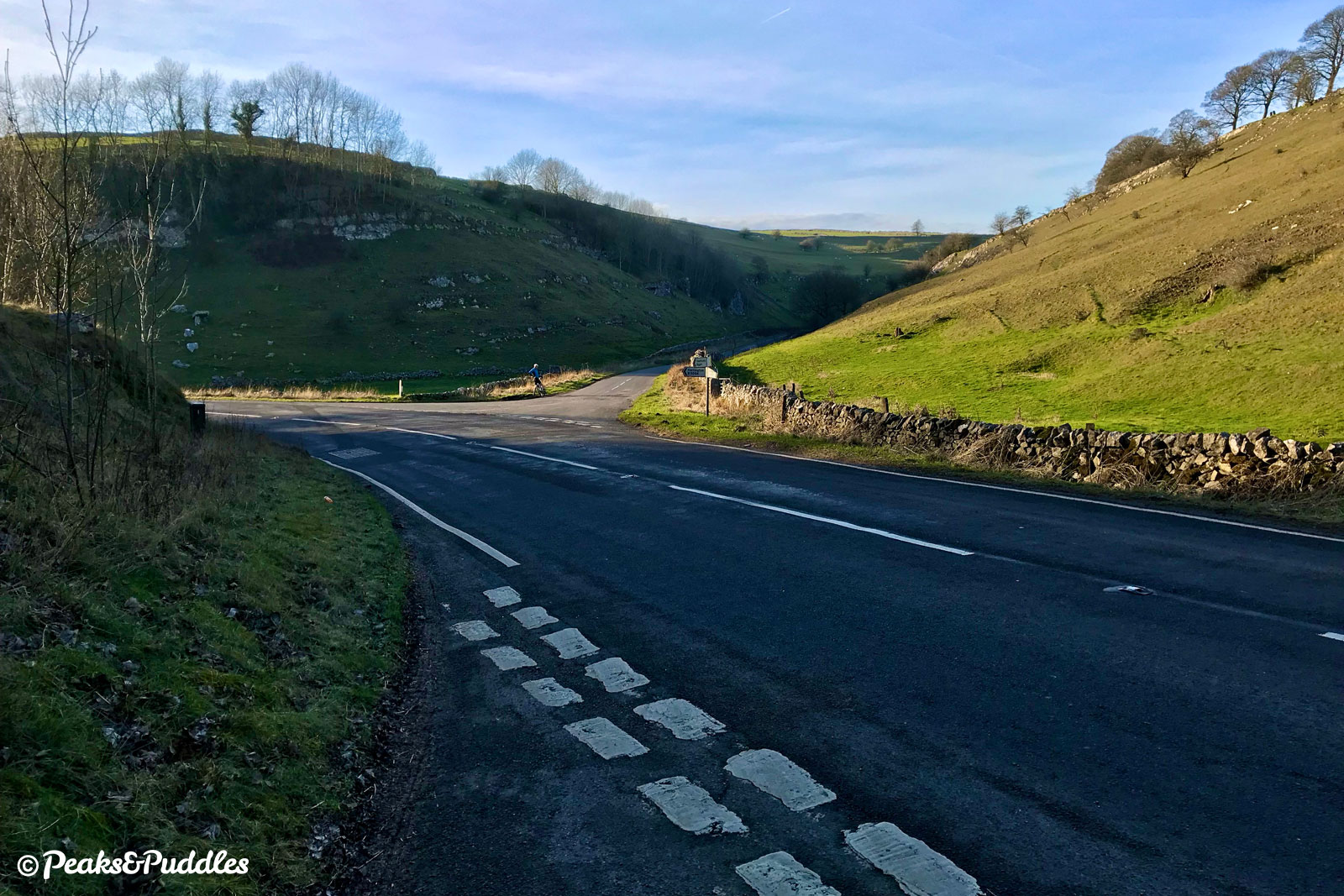
- Take care crossing the B5054 into Long Dale, where visibility of vehicles approaching from the left is poor.
- See the separate Tissington Trail cycle route guide for more things to note about the main part of the trail. It can get very busy on weekends, so take it steady and alert other users before passing; see Tips for Cycling on Shared Paths.
- There are public toilets at Hartington open 24 hours, while those at Parsley Hay have varying hours.
Found this guide helpful?
Please consider chipping in the price of a coffee to help pay the bills and support my work. Or become a Peaks & Puddles Plus supporter to get access to exclusive routes and pages in return.
Route stage-by-stage
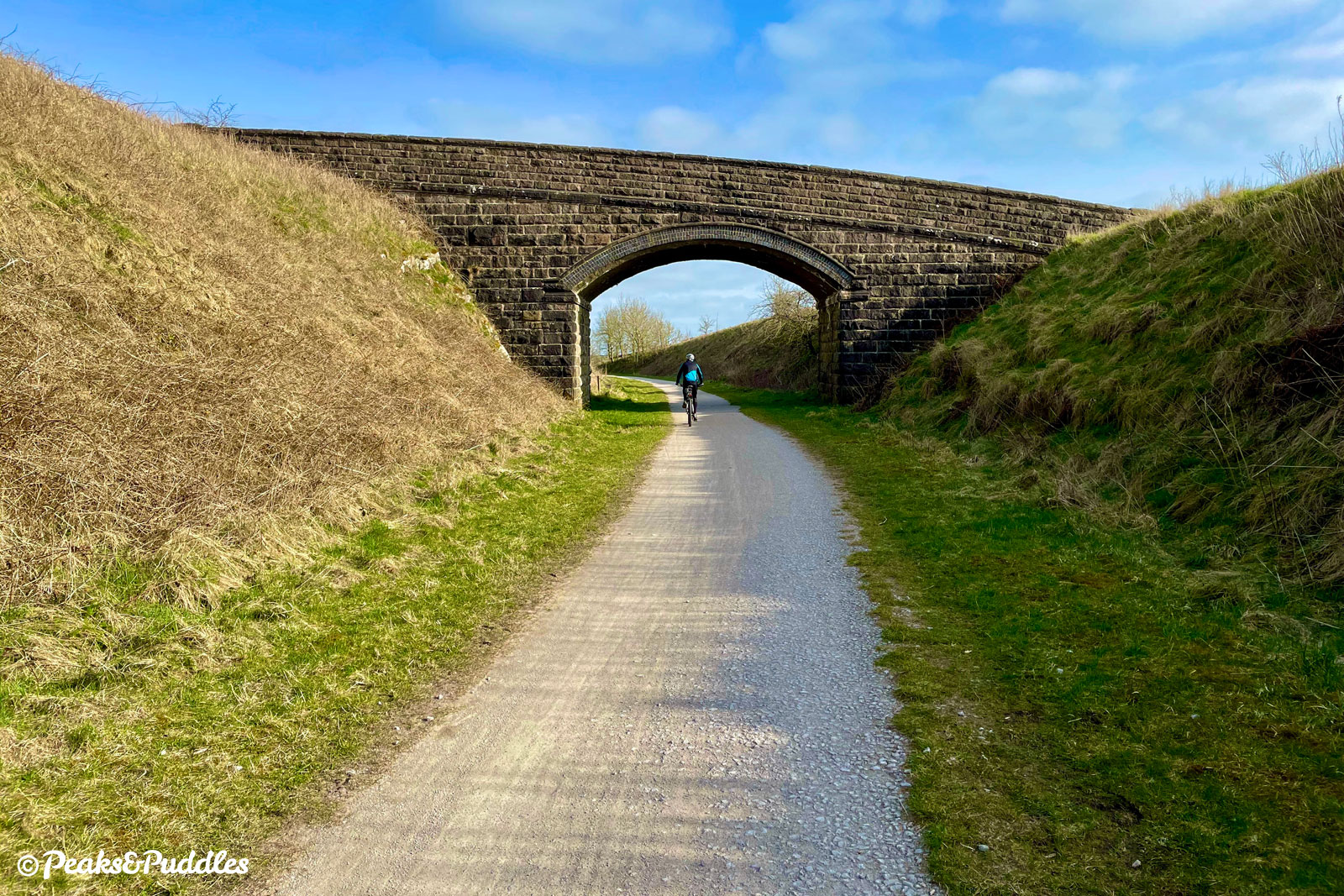
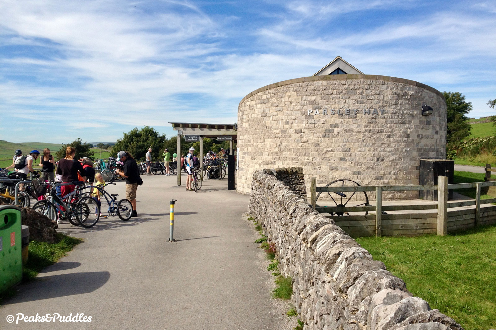
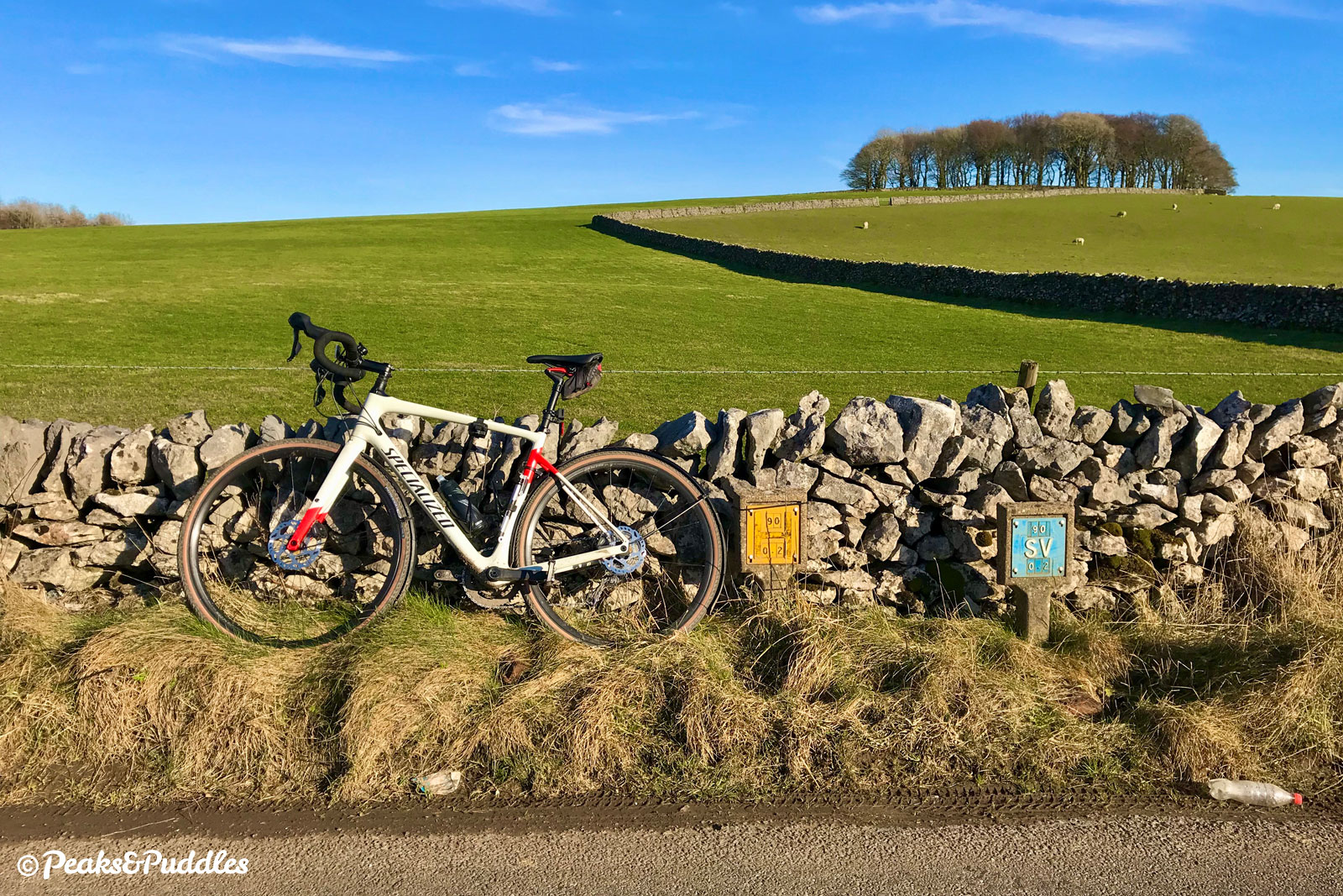
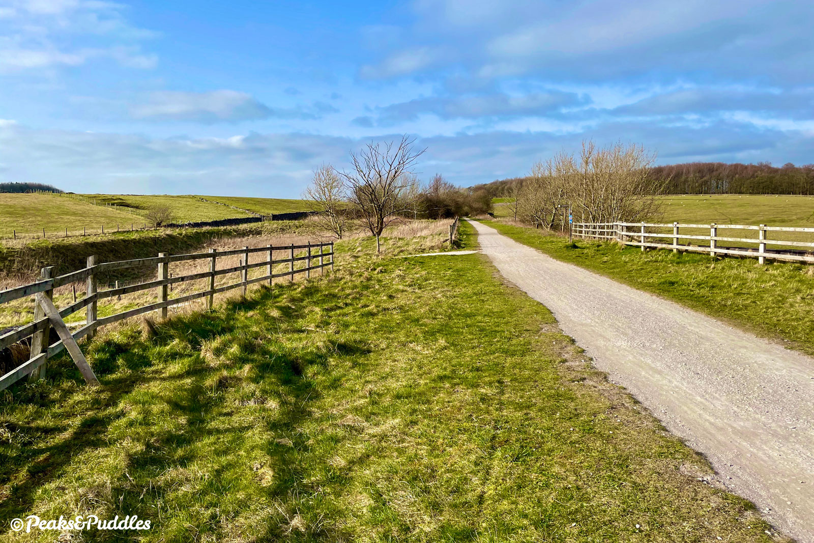
- From the former Hurdlow station, go through the car park to join the High Peak Trail heading south for 3 km (almost 2 miles). On an embankment most of the way with wide open, sweeping views over the rolling pasture to the right, this part of the trail is always much quieter than the rest, but its slightly bumpy surface does seem to see less maintenance as a result. After passing over a tall bridge spanning a minor lane and then under a farm bridge, the modern stone bike hire centre of Parsley Hay can soon be seen in the distance ahead. On the left, look out for the “kažun” — a Croatian dry stone roundhouse built as a gift from the country when it became an EU member in 2013.
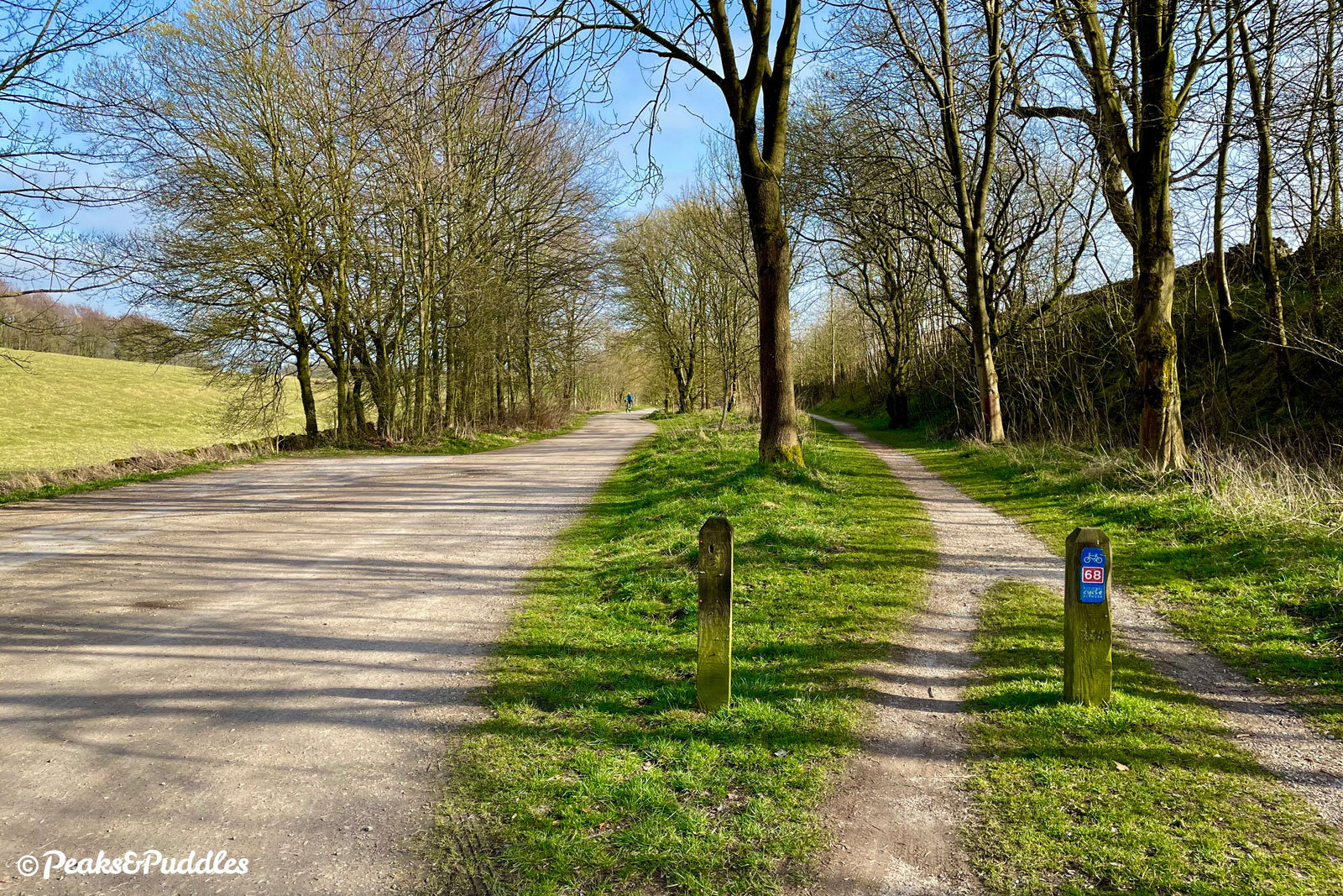
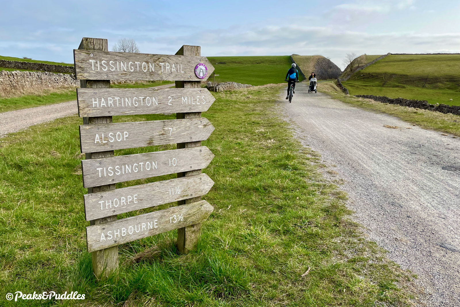
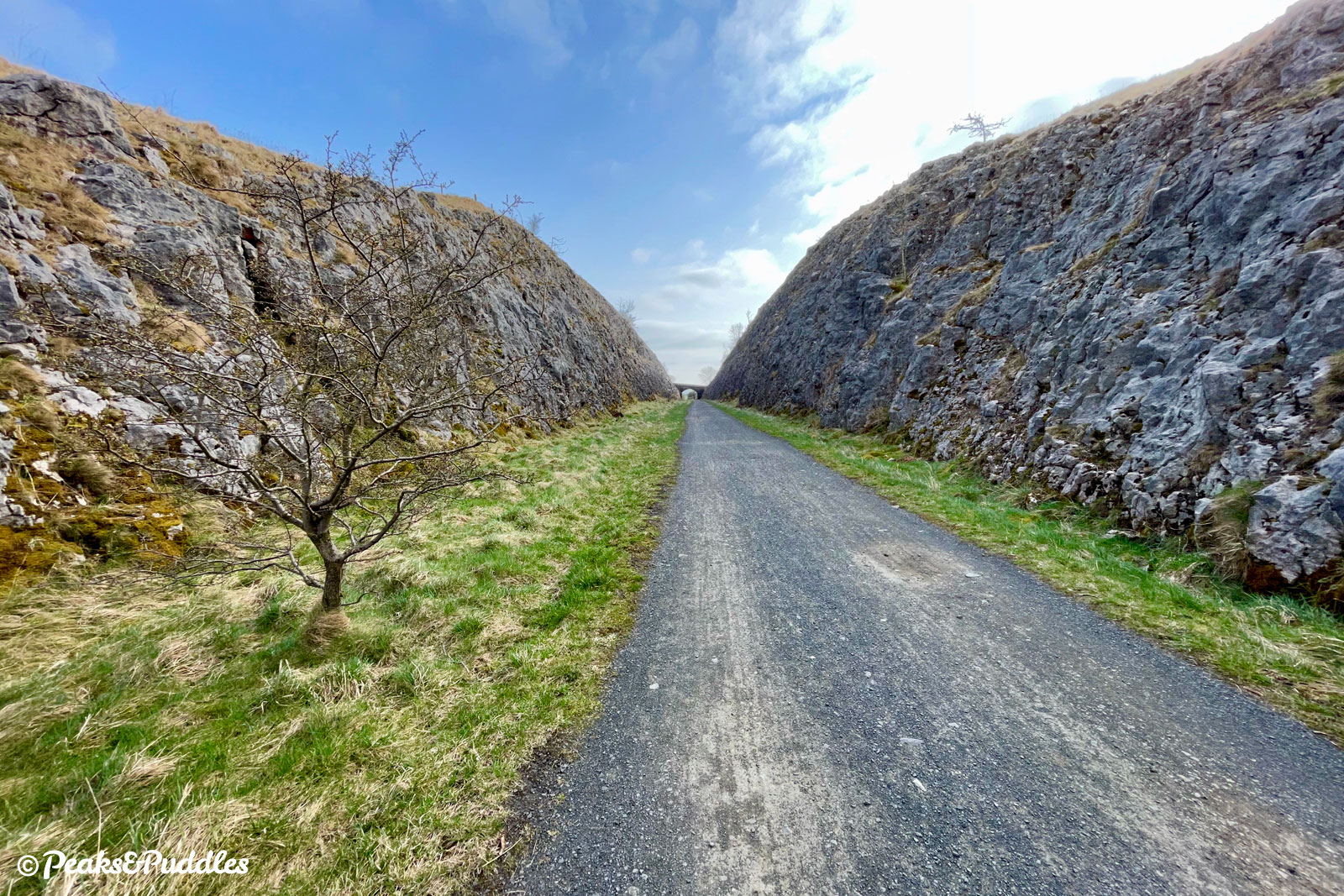
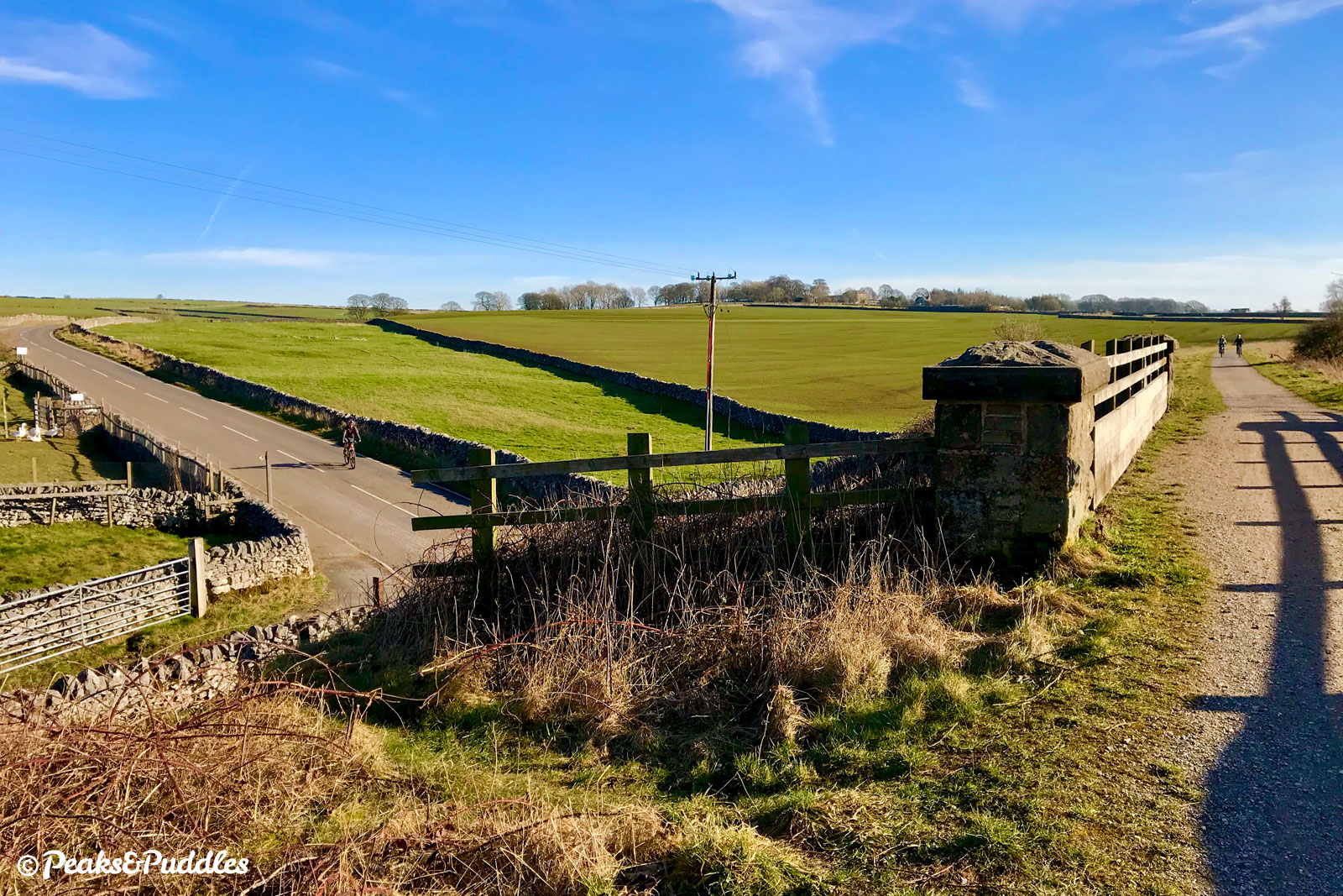
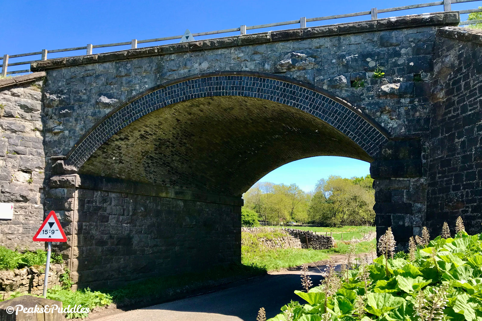
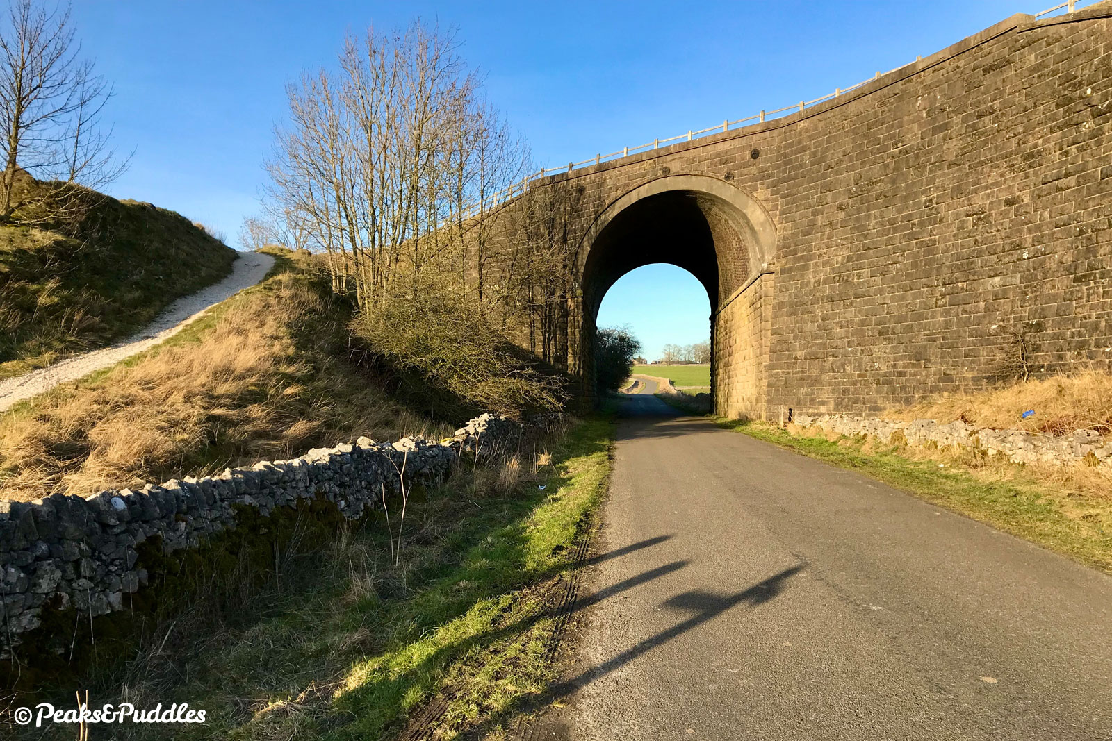
- Just beyond Parsley Hay, the trail splits in two. Keep right to join the Tissington Trail for the next 7.9 km (4.9 miles). The route first passes through the dramatic 18m (60 ft) deep rock cutting where the railway construction ploughed unceremoniously through a hillside, then twists its way south between windswept green fields. The former Hartington station is now a key landmark on the trail thanks to its colourful preserved signal box. Two more overbridges follow, then a bridge which takes the line over the main lane into Biggin, to the right. Stay on the trail, continuing over two more bridges, and it then enters Cold Eaton Cutting with a distinct downhill gradient and a bridge spanning overhead. This is a good visual marker because, fairly soon on the other side, is the bridge where the route leaves the trail.
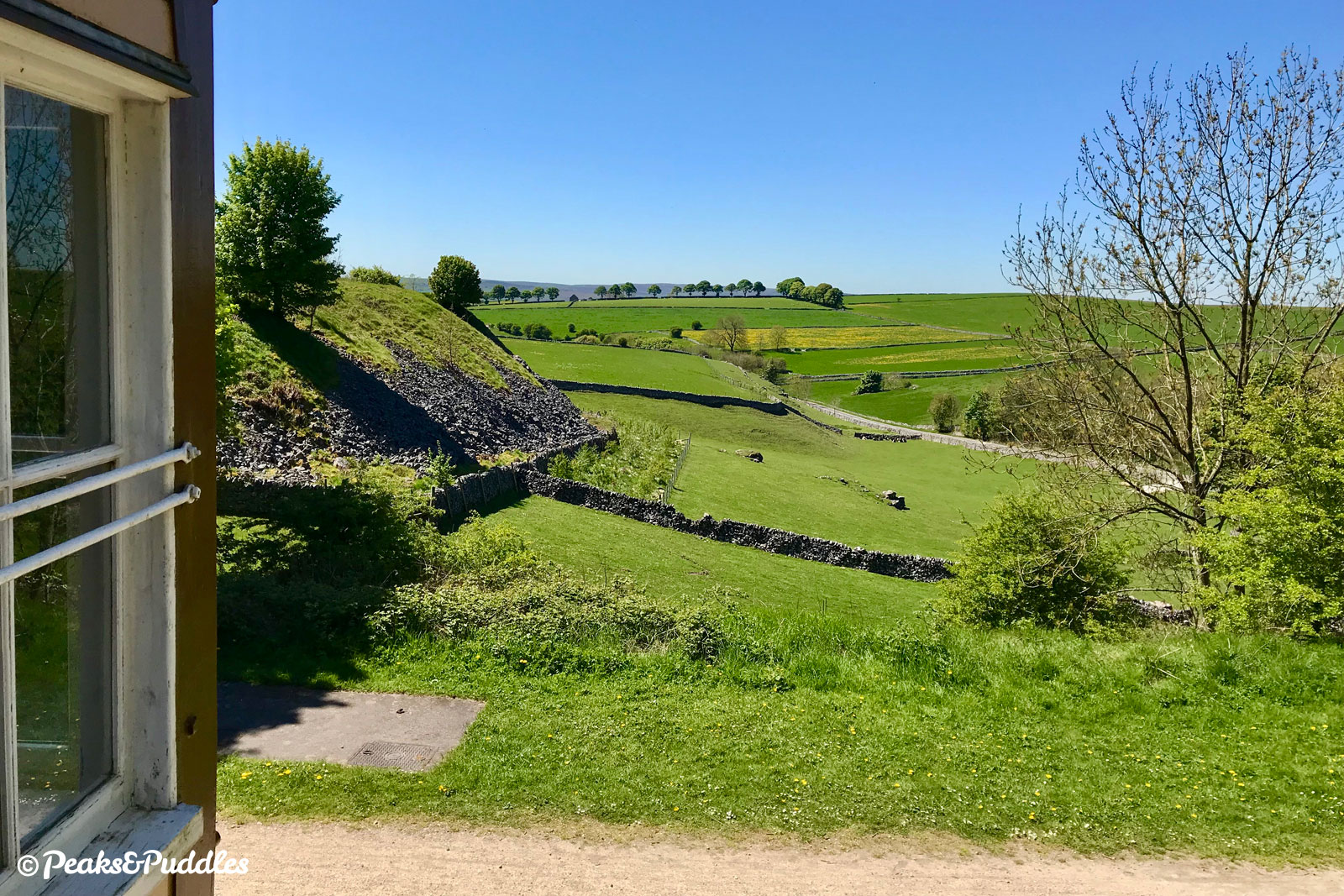
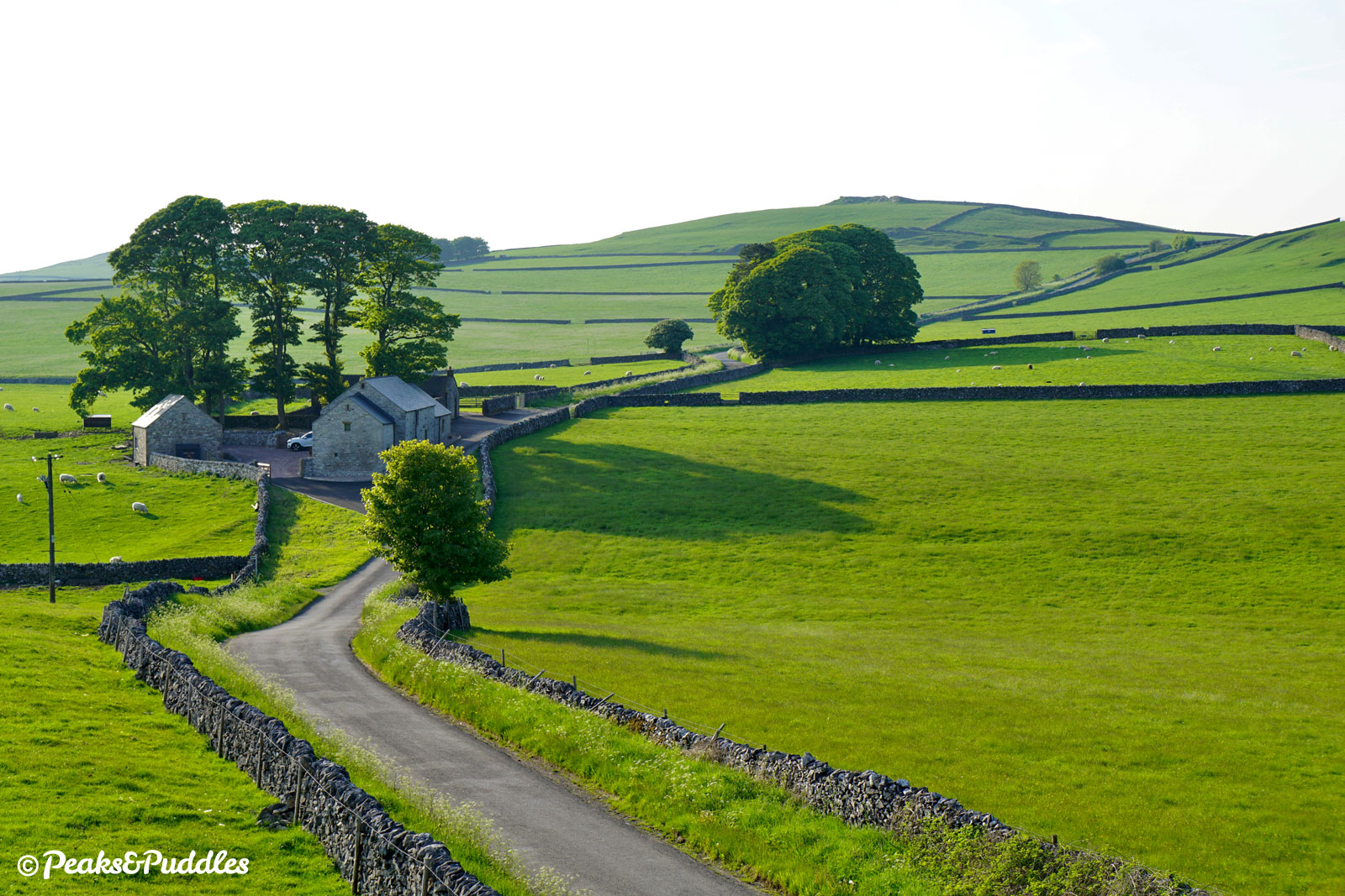
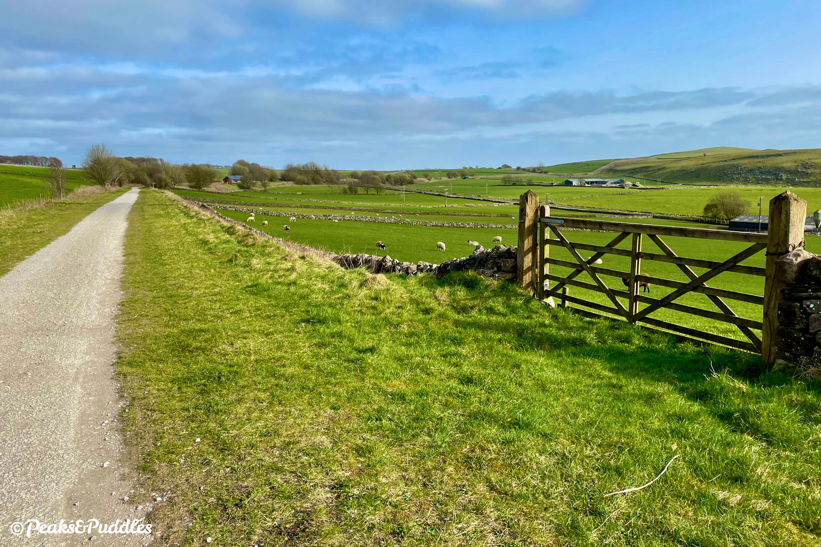
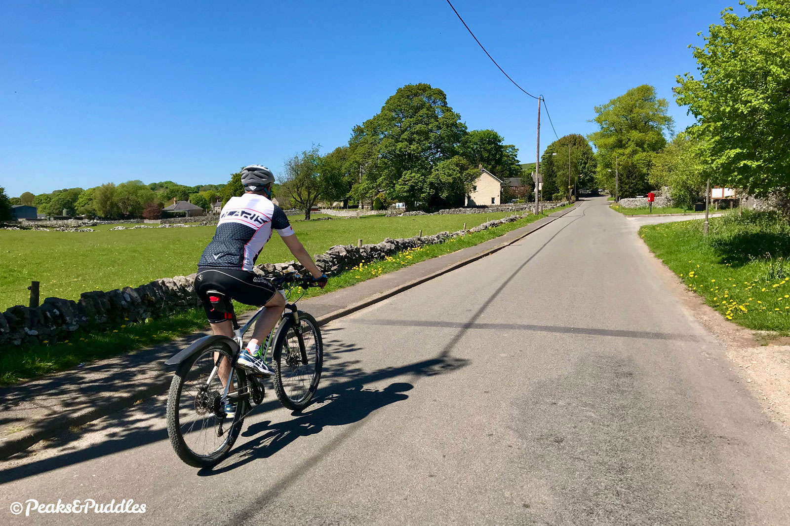
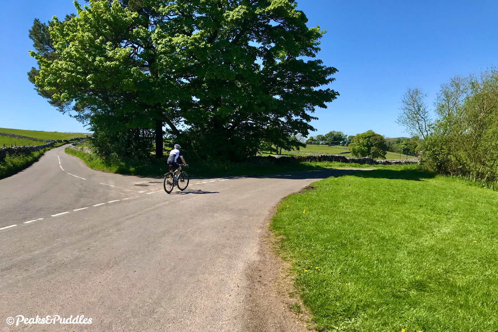
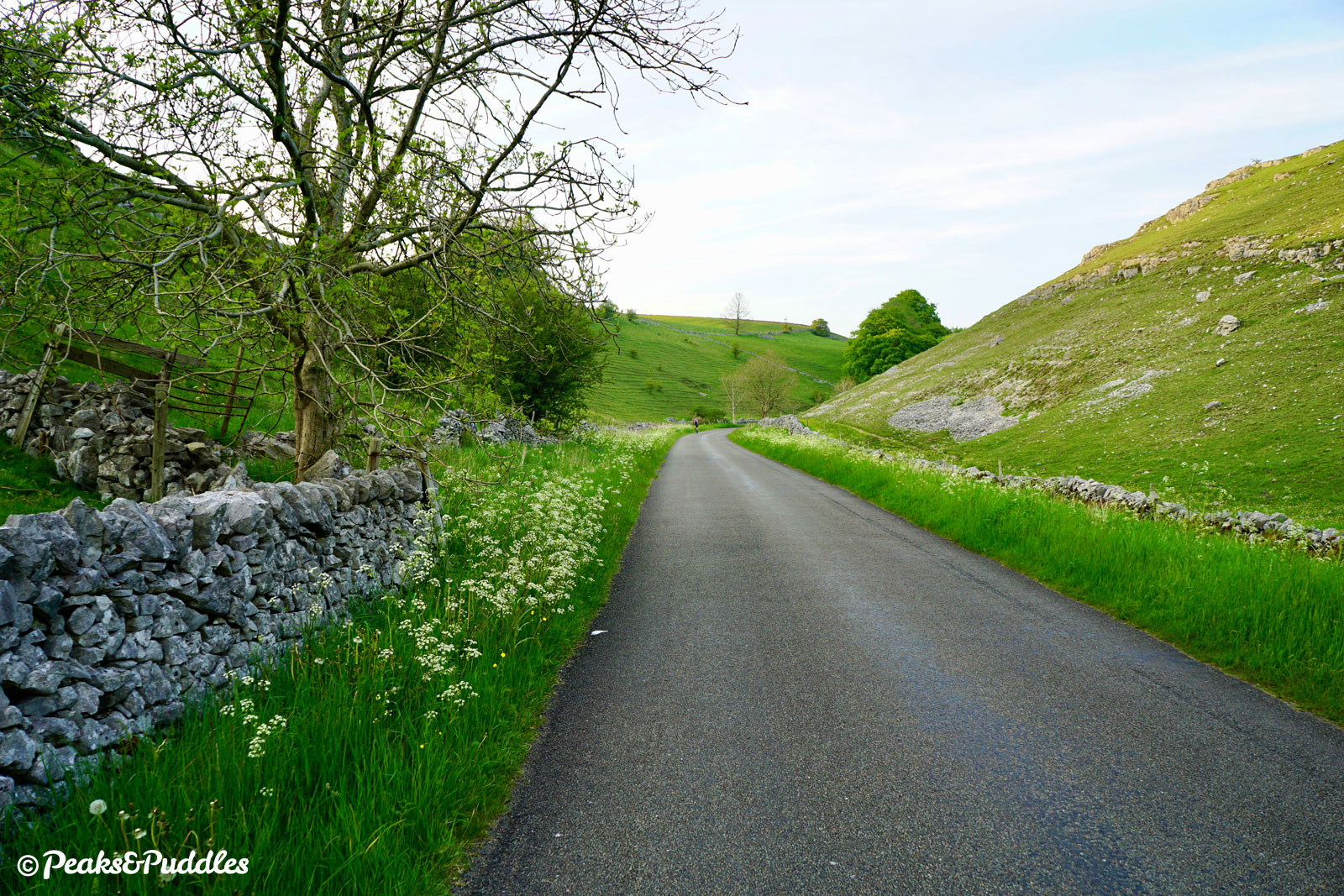
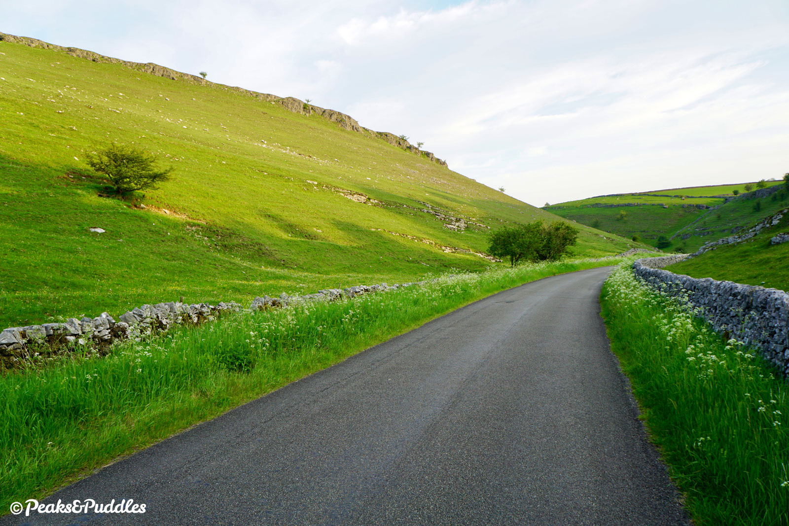
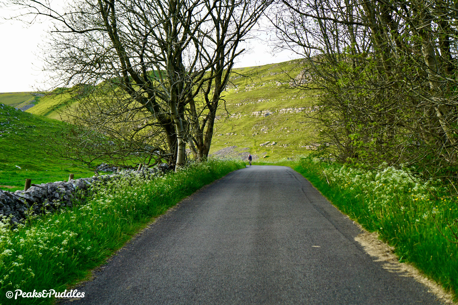
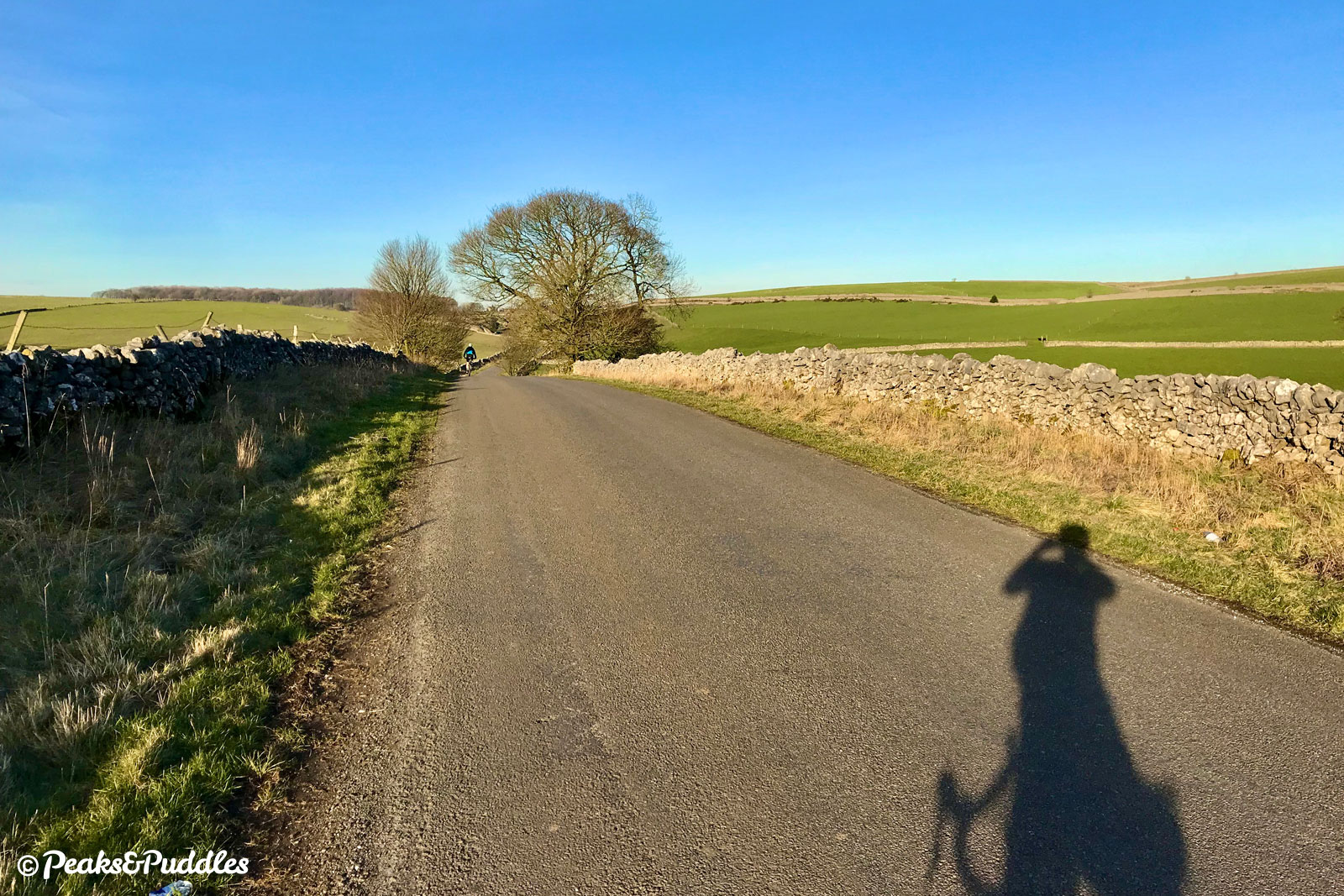
- Cross above Liffs Road then dismount to use the narrow and bumpy path on the right down to join it. Turn left and a beautiful, quintessential Peak District lane unfolds ahead. Beyond the lonely, dilapidated stone farm buildings, the road begins quite a surprisingly tough mini climb up between The Liffs and Johnson’s Knoll. The view from the top, over the head of Biggin Dale and the village itself, is simply beautiful. As a worthy reward for the climb, a brilliant, long descent can now be enjoyed; far more fun than anything to be found back on the trail.
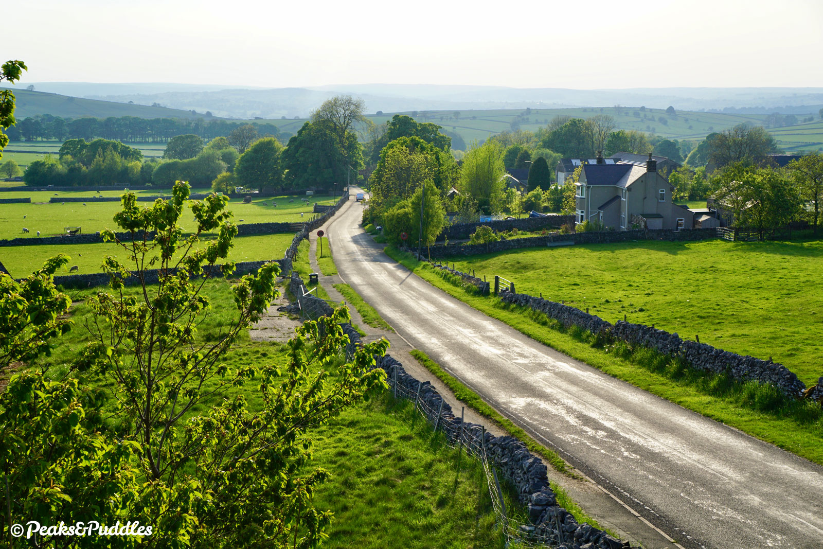


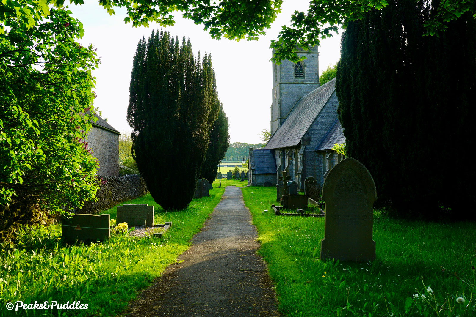
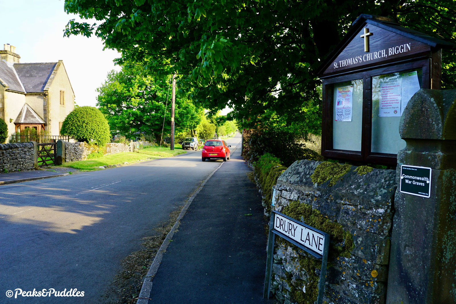
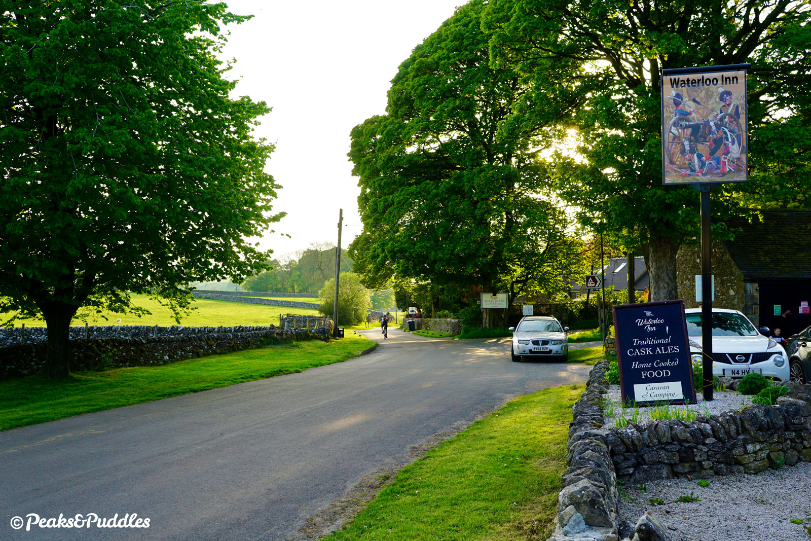
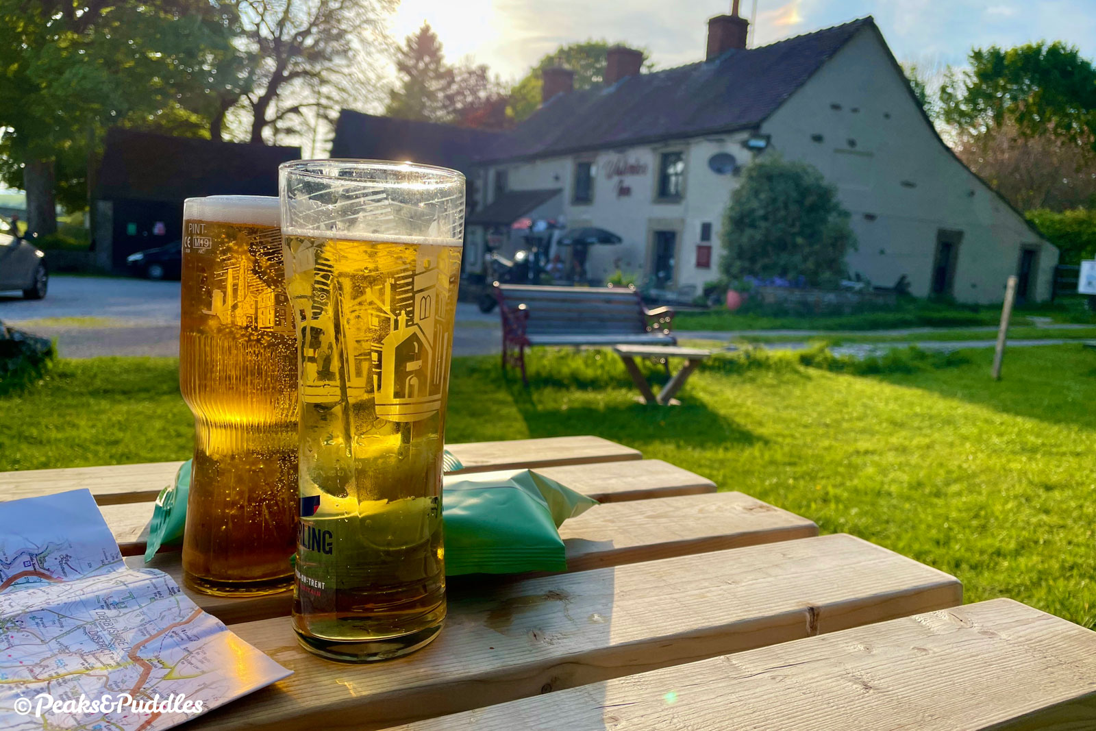
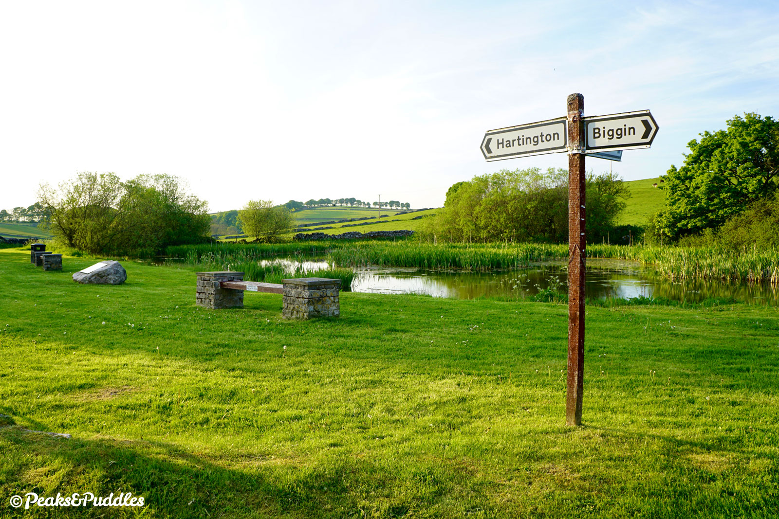
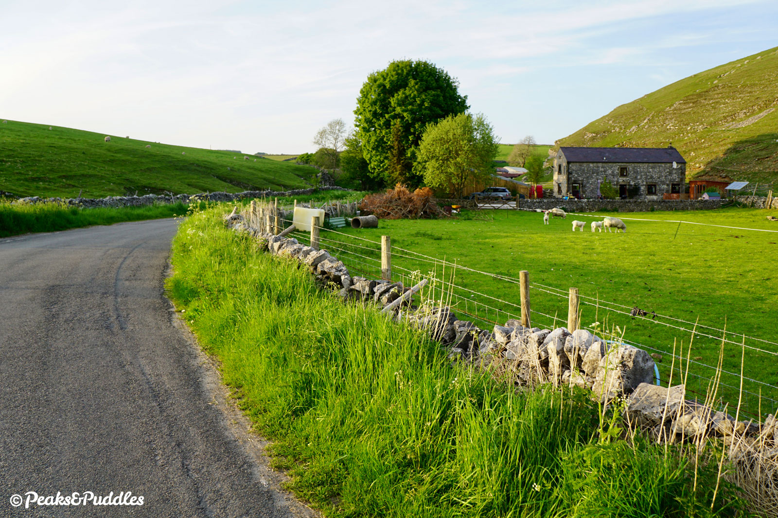
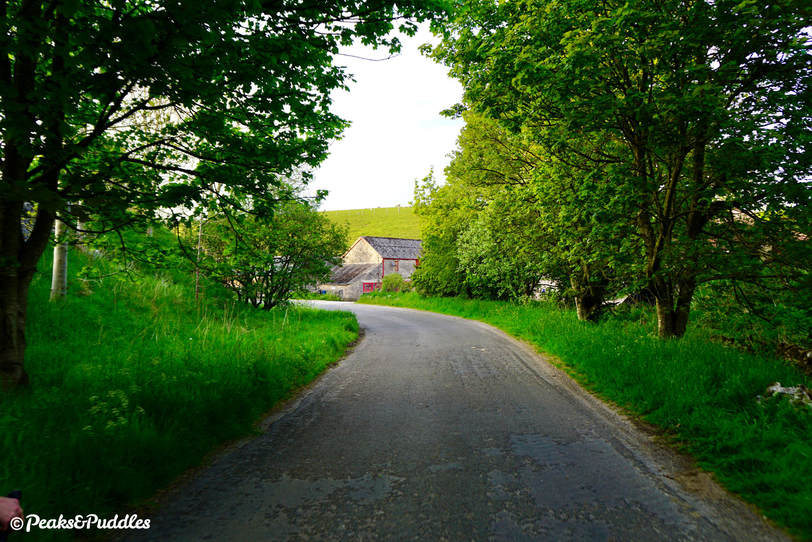
- Passing Liffs Road’s lowest point, climb gently between a group of houses then turn right, signposted Biggin, into Drury Lane and a diversion into the village itself. Follow the road around a sharp left bend and past the village hall to St Thomas’ Church, on the left. Turn left onto Main Street and continue along the gentle tree-lined village lane, bordered by fields and houses. The Waterloo Inn on the right, with its own campsite, is a good stop for refreshments.
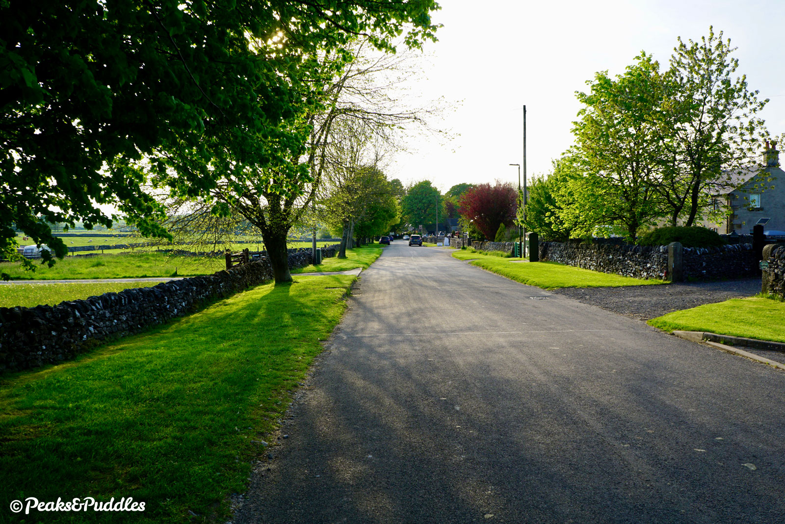
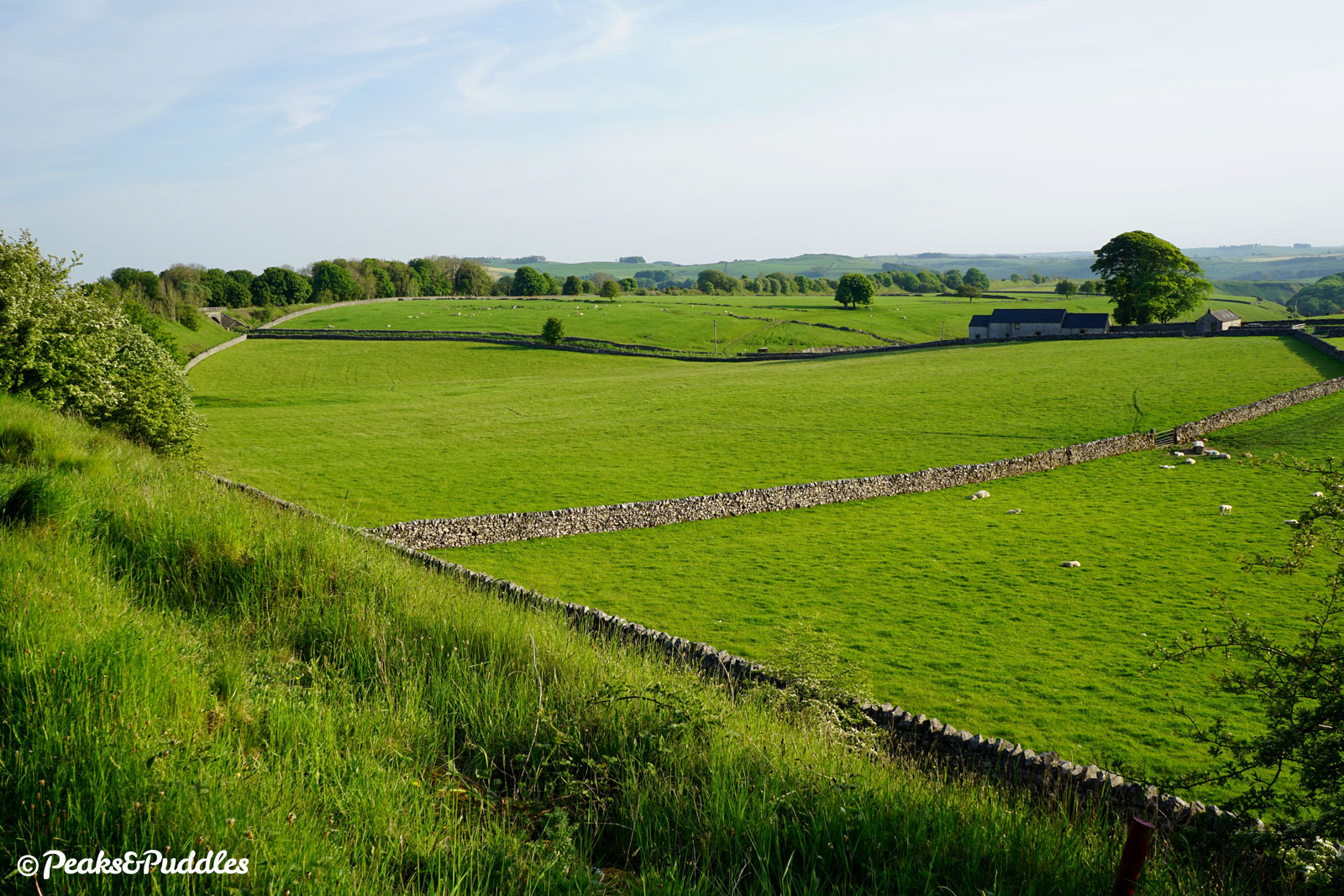
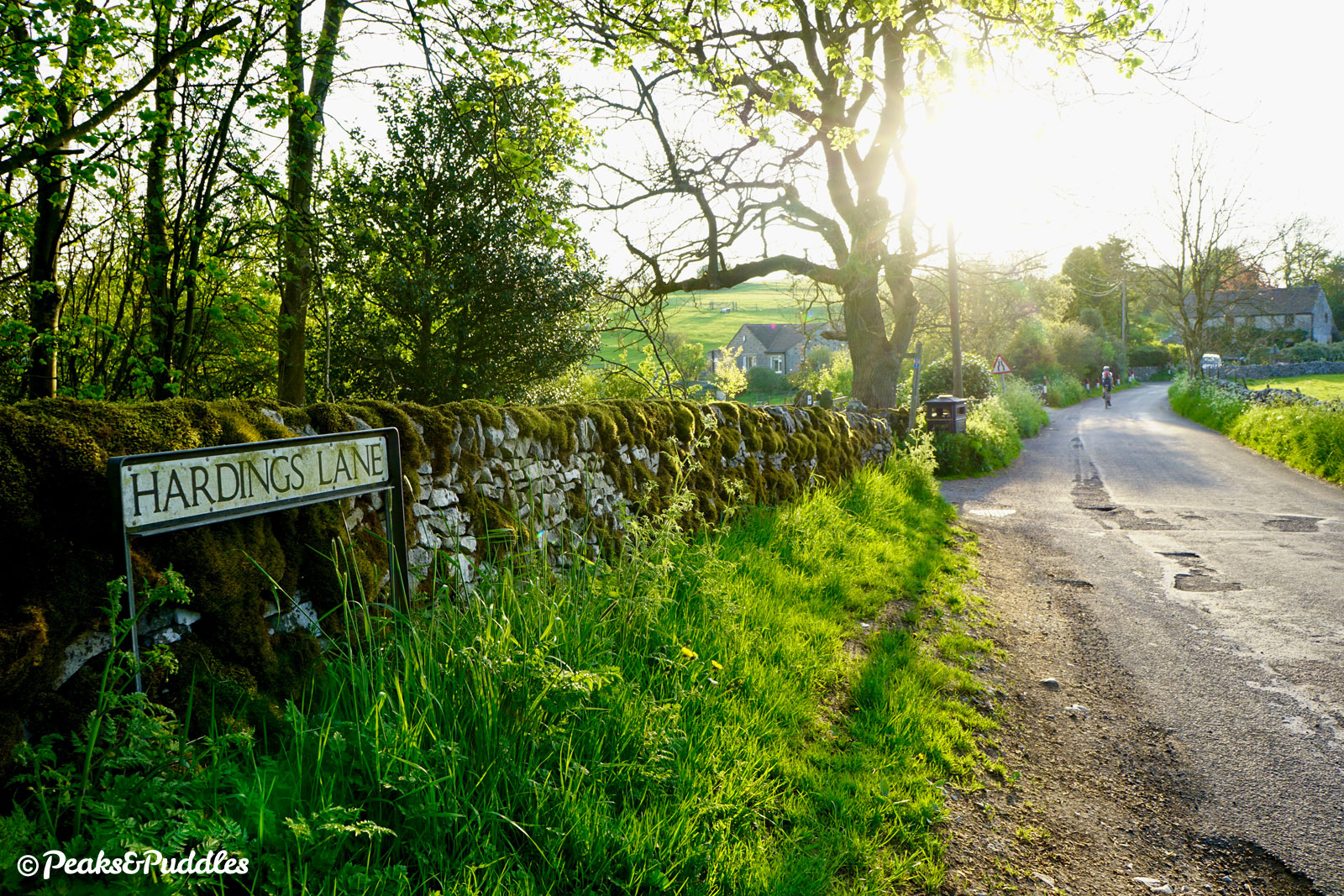
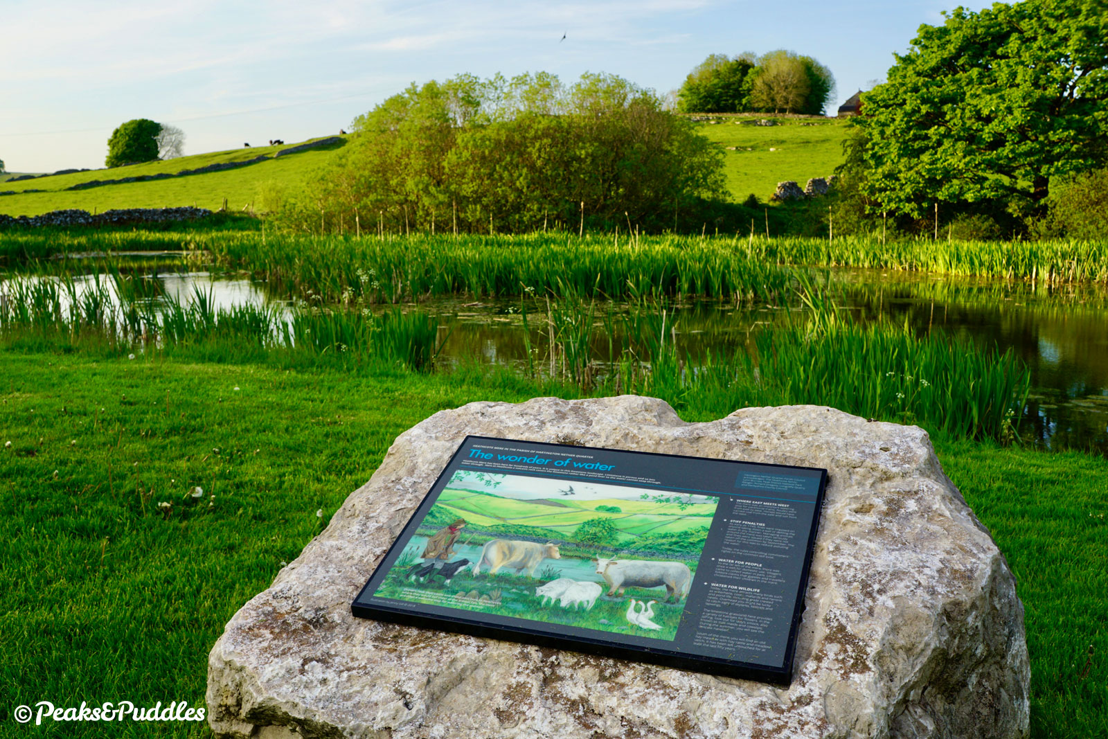
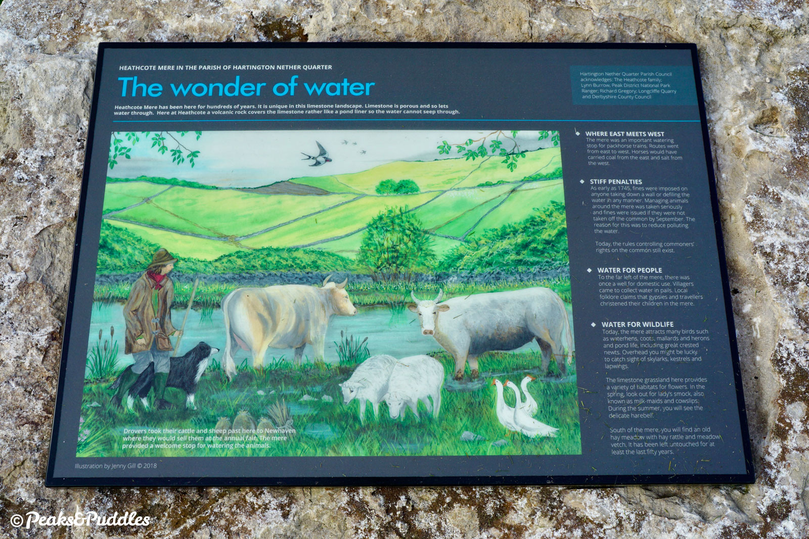
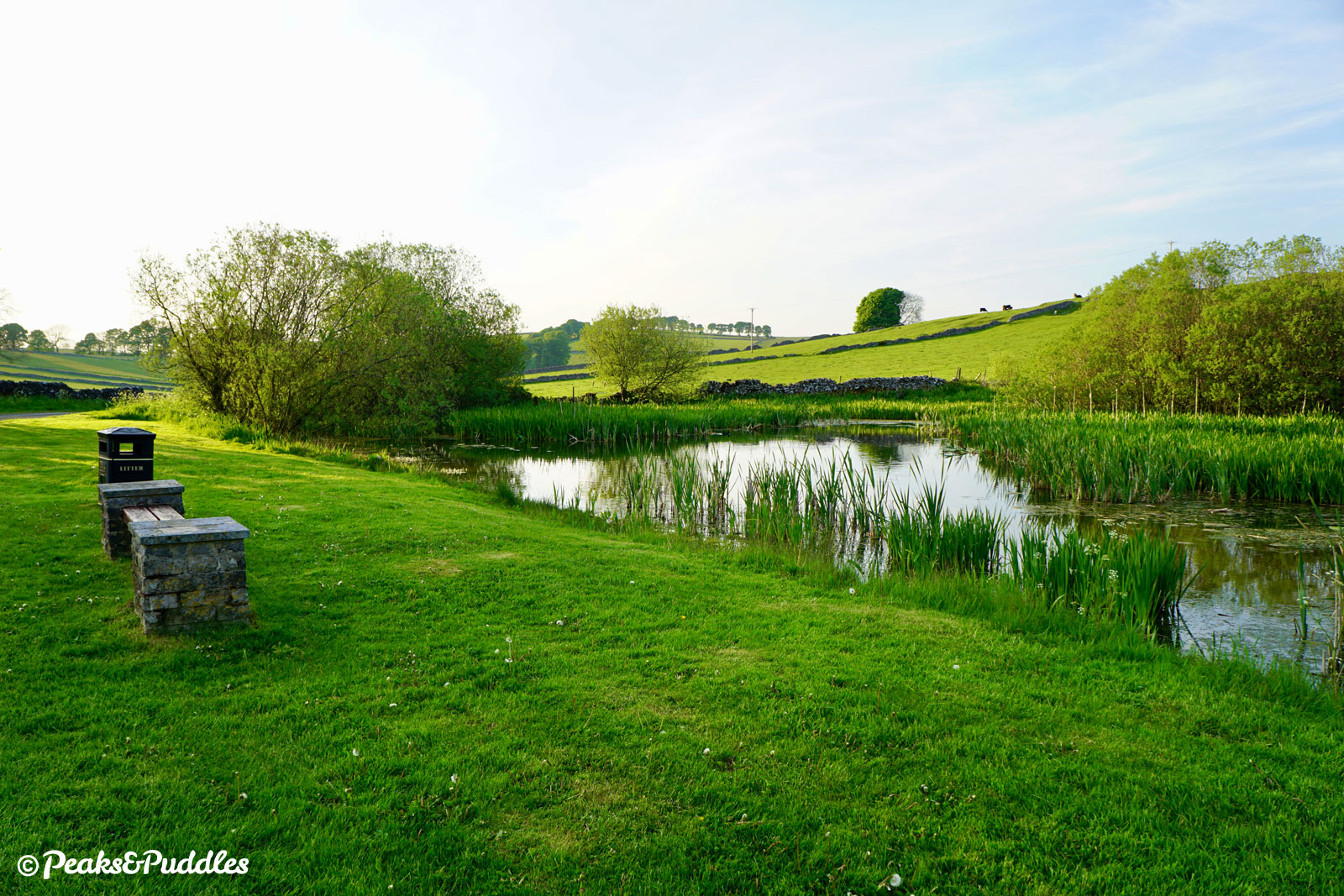
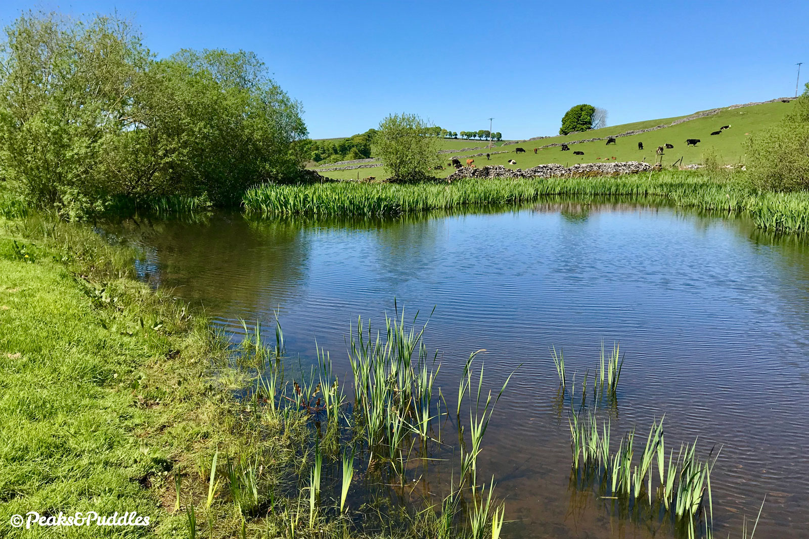
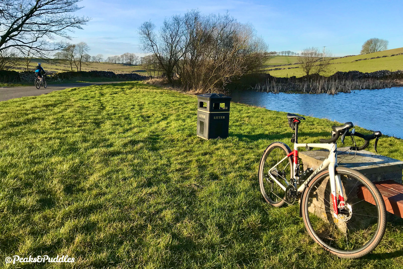
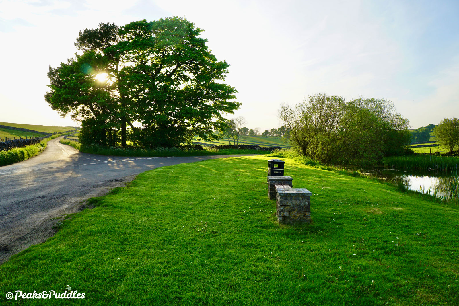
- Leaving the village, the road drops slightly between trees to pass the top of Biggin Dale. This valley descends south west to join the better-known Wolfscote Dale, getting progressively deeper yet usually dry throughout. Staying on the road, another very gentle climb leads up to Heathcote Mere, a pretty pond with a couple of benches perfect for a picnic. Heathcote lies just behind, even smaller and more agriculturally focused than Biggin. Continue ahead, with the pond on your right, along Harding’s Lane past a solitary stone barn. As the road drops sharply, take care around the narrow bend for approaching vehicles.
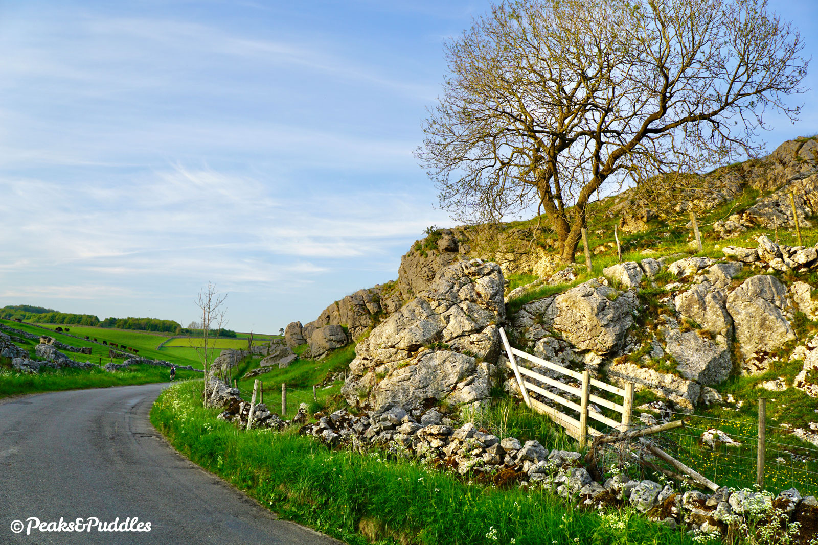
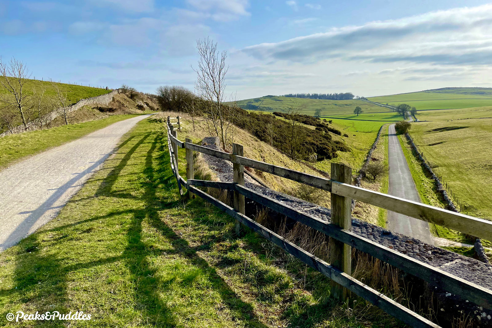
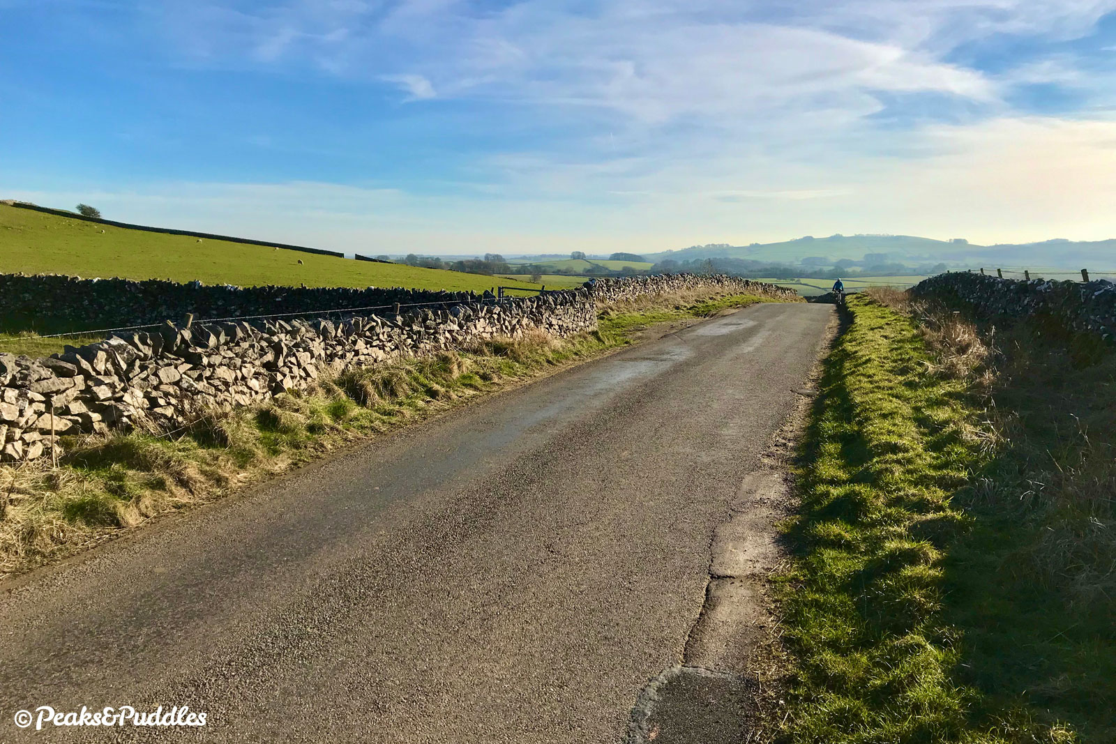
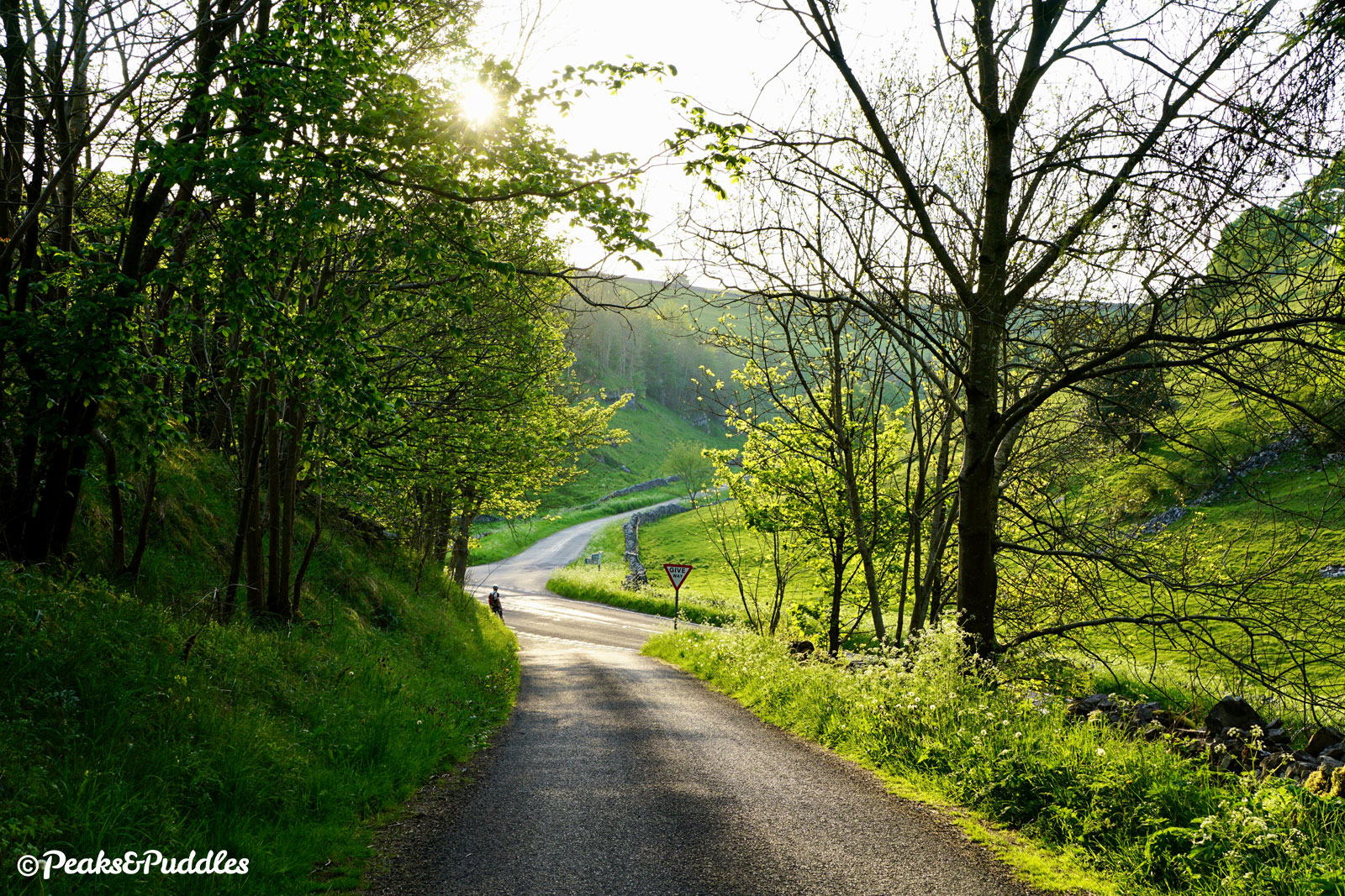
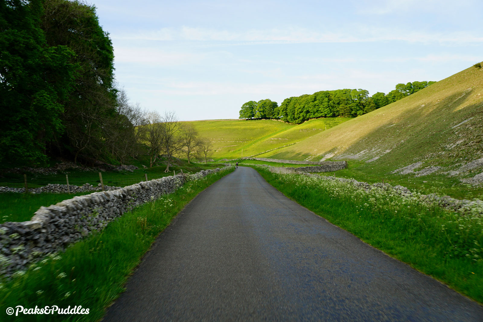
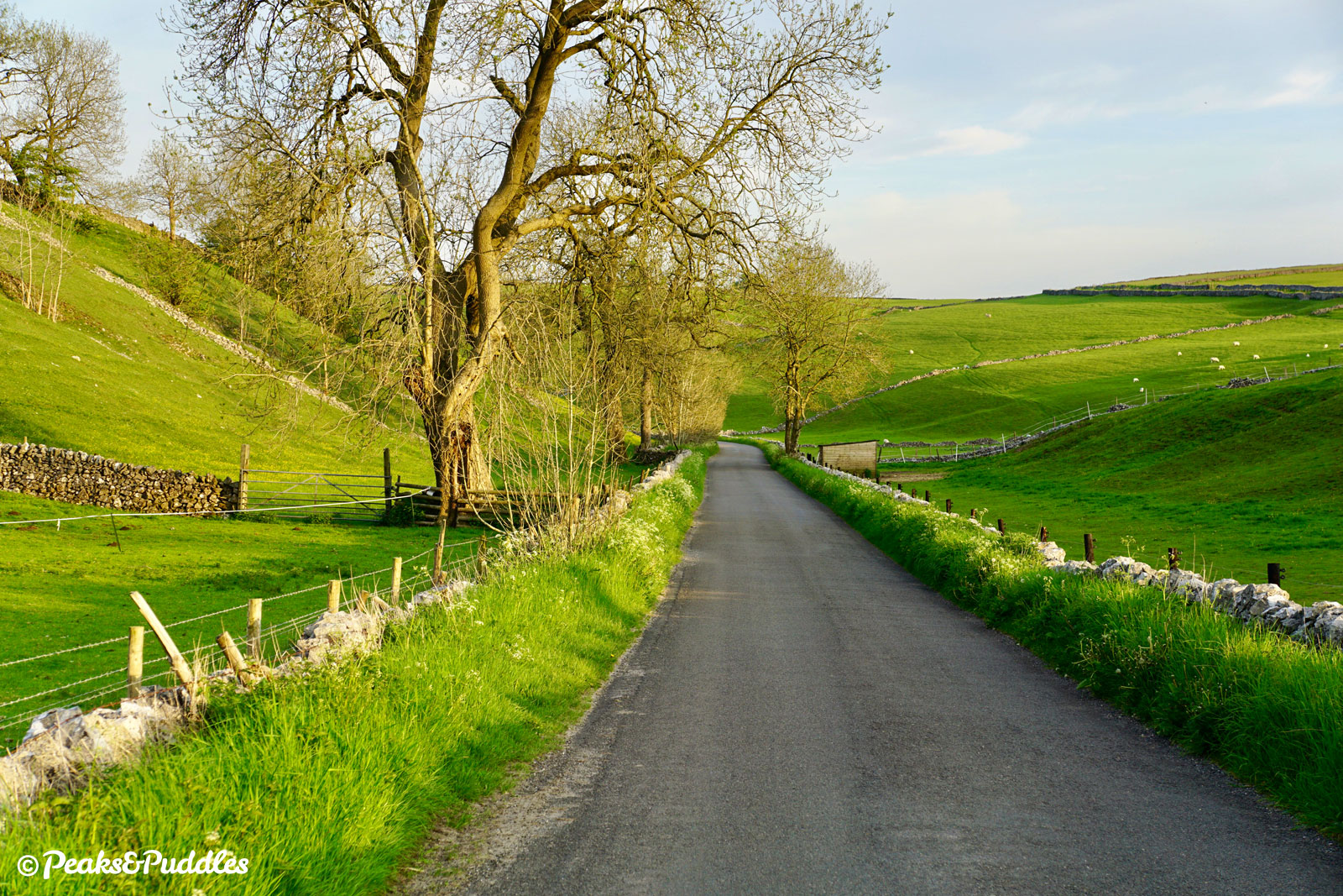
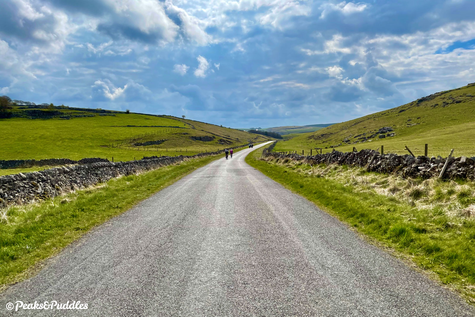
- At the Give Way sign, now suddenly in the steep-sided Hartington Dale, cross almost straight over the B5054 into Long Dale. Take care: this can be a fast road into Hartington and it’s difficult to see traffic approaching from the left before turning out. The gradual 5 km (3 mile) ascent up Long Dale now begins. Long though it may be, the natural gradient of this green and limestone-crusted dale is ideally suited for cycling, giving just enough for a low gear to cut into without ever being too exhausting. After several bends through the barren landscape, the isolated Vincent House farm is passed followed by an impressive rocky outcrop and the dale begins to widen, even if the gradient continues.
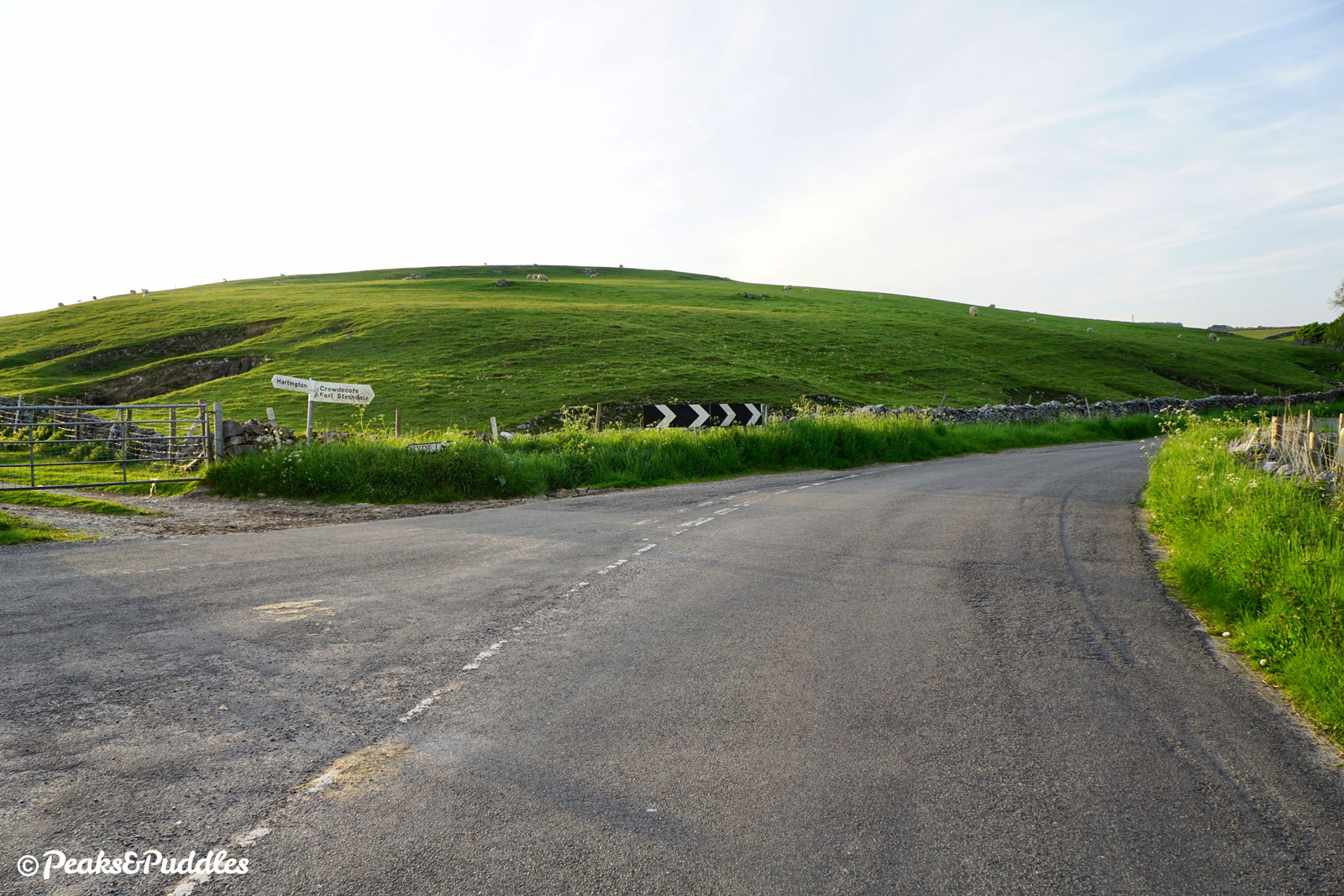
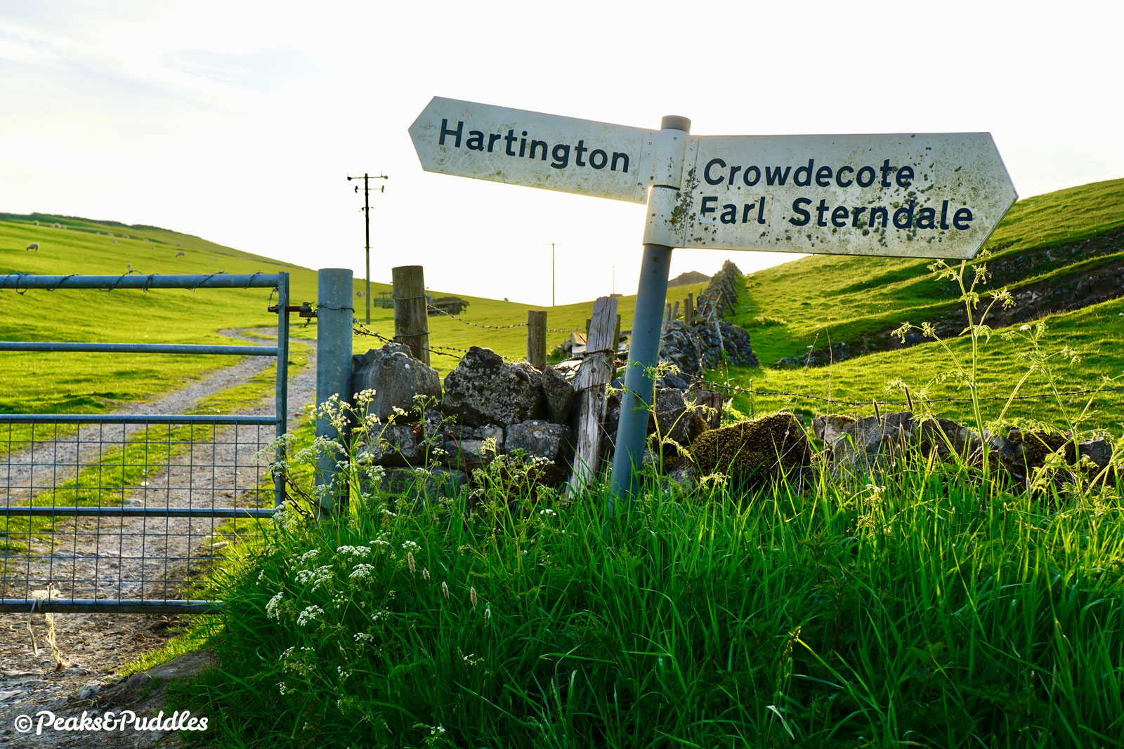

- Continue straight ahead around a wide bend to the left and past the intriguingly-named Custard Field Farm. Soon the road begins to straighten slightly, but prepare for one final uphill push. At a clear crossroads with numbered cycle route signs, turn right. A brief tumble between the green fields quickly presents a tall bridge ahead. Just before it, dismount to go through the gate on the left and push up a short but very sharp path back onto the High Peak Trail. Turn left onto the trail and within moments you’ll be back at the starting point.
Found this guide helpful?
Please consider chipping in the price of a coffee to help pay the bills and support my work. Or become a Peaks & Puddles Plus supporter to get access to exclusive routes and pages in return.
More to explore
- Hurdlow
There’s not much to this little area but it does tick two important cycling boxes: pub and ice cream! The Royal Oak beside the bridge at the start of the route is particularly cycle-friendly, while just up the lane and straight across the A515 is Tagg Lane Dairy, a farm that’s now home to an incredibly lucrative (and delicious) ice cream café. - Hartington
Centred around an oh-so-English duck pond are a small collection of shops, cafes and a pub; the star attraction being The Old Cheese Shop selling its own renowned Hartington cheeses.
It’s only a short diversion into Hartington from this route, though be advised it’s a reasonable climb back out again, adding 2.9 km (1.9 miles) and 75 m (245 ft) elevation gain: a good place to leave and rejoin is the pond at Heathcote Mere (Step 5), turning down the lanes opposite named High Cross and Hall Bank.
Original photography, words and design by Anthony Sheridan unless indicated otherwise. Found this guide helpful? Buy me a coffee to help keep the wheels turning!
The all-important disclaimer: While great care and attention has been put into gathering these routes, ensuring details are accurate and determining their suitability, all information should be used as a guide only and is not a replacement for using your own judgement or research when setting out on new adventures. Peaks & Puddles/the author cannot be held responsible for any issues that may arise from the riders own decision to ride a section of indicated route.
Always ensure your equipment is safe and legal for use and that you are well prepared, carrying everything necessary including access to a good map. Follow the Highway Code and the Countryside Code at all times. Respect the landscape, the wildlife and the people you encounter. And after all that, have fun!