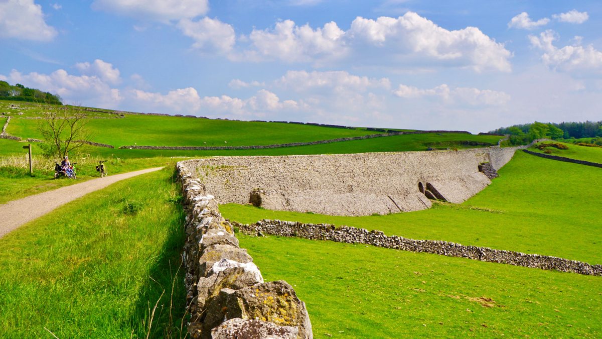
Twisting and turning as it navigates 17.5 miles end-to-end across the Peak District on a high limestone plateau, the National Park’s longest trail offers glorious off-road cycling, intriguing railway history and challenging inclines.
Route details
- Distance
 35 miles / 56.3 km
 - Elevation Gain
 315 m / 1034 ft
 - Time allow 3 ½ hours
- Difficulty
 Moderate
 - Terrain 100% Off-Road Path Traffic-free trails, towpaths & cycleways 0% Road Quieter lanes, sometimes brief busier roads 0% Unpaved Bumpier tracks & bridleways
- Suited to
 All Bikes
  Gravel Bikes
  Mountain Bikes
 - Notes Northern 14 miles to Hopton Incline is level, southern end has very steep inlines. Surface can be quite coarse in places, wider road tyres recommended. Unobstructed, level access from car parks but several sometimes stiff bridleway gates at crossings.
- Suggested Start Hurdlow SK17 9QJ SK 1279 6596
- Places Black Rocks, Cromford, Derbyshire, Derbyshire Dales, Friden, High Peak Junction, Hurdlow, Longcliffe, Middleton Top, Minninglow, Parsley Hay, Pikehall, Steeple Grange
- Attributes Accessible by train, Bridges, Car parking, Cycle hire, Family-friendly, Ideal for electric bikes, Inclined planes, Industrial heritage, Museums and visitor centres, National Cycle Network, Out and back, Railways, Reasonably flat, Steep climbs, Suitable for older kids, Tunnels, Views of hills and peaks, Views of open countryside, Woodlands and forests
A complete guide to the High Peak Trail with a stage-by-stage tour, original photos and helpful tips is coming soon.
Route map
Original photography, words and design by Anthony Sheridan unless indicated otherwise. Found this guide helpful? Buy me a coffee to help keep the wheels turning!
The all-important disclaimer: While great care and attention has been put into gathering these routes, ensuring details are accurate and determining their suitability, all information should be used as a guide only and is not a replacement for using your own judgement or research when setting out on new adventures. Peaks & Puddles/the author cannot be held responsible for any issues that may arise from the riders own decision to ride a section of indicated route.
Always ensure your equipment is safe and legal for use and that you are well prepared, carrying everything necessary including access to a good map. Follow the Highway Code and the Countryside Code at all times. Respect the landscape, the wildlife and the people you encounter. And after all that, have fun!