You can’t beat holding the landscape in your hands, especially when your phone battery hits 2%!
Here’s the complete range of physical, printed Peak District maps available to plot and plan your next adventure, including some specifically made for cycling.
The great thing about new Ordnance Survey maps is that they include a code to unlock the digital tile of each print map you buy, so you can view it on the OS Maps app too.
For complete freedom, the OS Maps Premium subscription is a worthwhile investment for frequent adventurers.
Ordnance Survey Explorer Maps
Exploring the borders of several counties and a National Park doesn’t make things easy for paper maps. You’ll need at least three standard OS Explorer maps to cover most of the areas featured on Peaks & Puddles, but they all deserve a place on your shelf and in your rucksack.

OS Custom Made Maps
Ordnance Survey
Are your main exploring grids always on the border between two OS maps? A Custom Made Map allows you to centre a map absolutely anywhere and have it printed up as a folded map with your own title and image. Not just an awesome gift but it’ll probably become the most well-thumbed and value-for-money map you’ll ever buy. It might make sense not to centre on your house but somewhere that includes all your local walking and cycling hotspots. Or, if you know them all by heart, get it printed flat for framing. (Note: doesn’t include a digital version.)
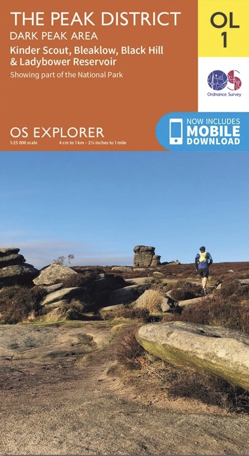
OS Explorer Map OL1: The Peak District – Dark Peak Area
Ordnance Survey
There’s a reason it’s number 1. Covering Kinder Scout, Bleaklow, the Upper Derwent Valley and as far west and south as Marple and Whaley Bridge, the essential guide for Dark Peak exploring.
Also available from: Amazon.co.uk – Waterstones – Wordery
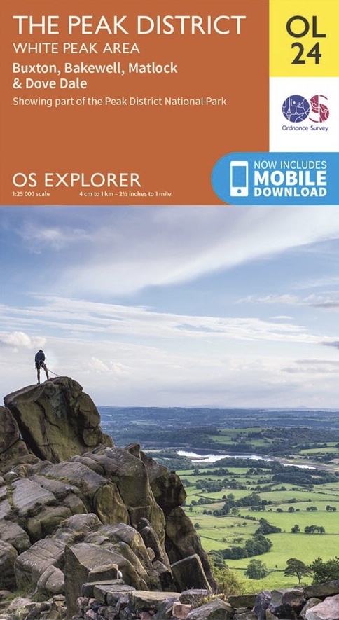
OS Explorer Map OL24: The Peak District – White Peak Area
Ordnance Survey
For the Goyt Valley, Buxton and as far south as Leek, Dovedale, Bakewell, Matlock and Wirksworth, the White Peak OS map is an indispensable work of art. Particularly useful for finding linking cycle routes off the popular railway trails and a lifetime of walking routes.
Also available from: Amazon.co.uk – Waterstones – Wordery
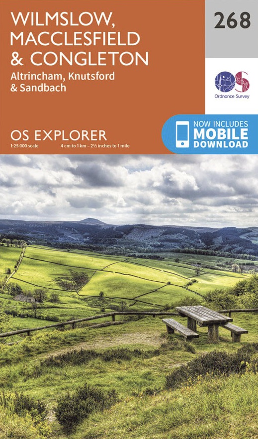
OS Explorer Map 268: Wilmslow, Macclesfield & Congleton
Ordnance Survey
Covering the south of Manchester and Stockport along with eastern Cheshire all the way from the Peak District fringes to Tatton and Jodrell Bank, this is the essential map for Middlewood Way and Cheshire lanes when you fancy something a bit flat(ter).
Also available from: Amazon.co.uk – Waterstones – Wordery
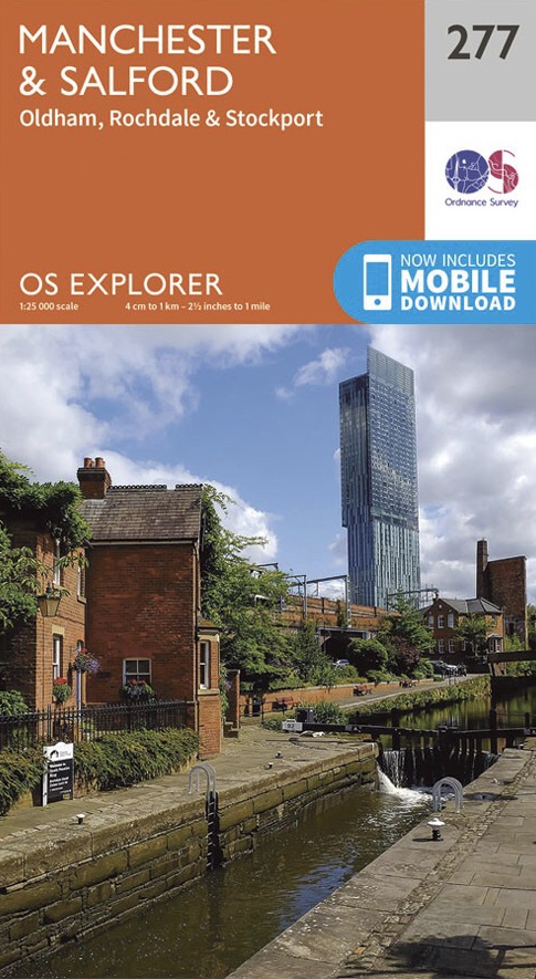
OS Explorer Map 277: Manchester & Salford
Ordnance Survey
Yes, they make OS maps for big, bad cities too! Whether you want to get into town or out to the country, this one’s a fascinating treasure trove of all those often somewhat hidden rights of way and, no really, some lovely greenery amongst the houses and motorways too, extending south to Cheadle and east to Stalybridge.
Also available from: Amazon.co.uk – Waterstones – Wordery
Cycling Maps
These maps are specifically made for cycling in and around the Peak District, with main routes highlighted and sometimes suggested touring routes also helpfully highlighted.

Peak District: Cycling Country Lanes
Goldeneye Cyclinguides
A handy fold-out waterproof sheet map covering the Peak District and surrounds. Often more usable than squinting over an app to plot longer road routes but does slightly eschew some perfectly enjoyable and useful linking paths in favour of roads, so not quite the silver bullet for all-rounder cycling it could be. Includes 16 marked circular routes, most best trialled by more confident roadies.
Also available from: Wordery
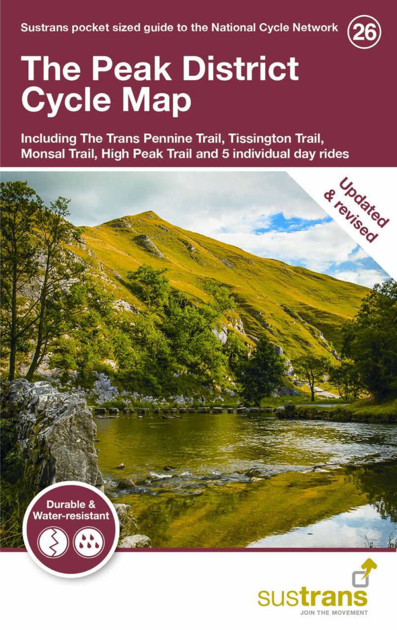
The Peak District Cycle Map (No.26)
Sustrans
Part of a collection of maps from Sustrans, the sustainable transport charity, covering most areas of the country. This is more focused on clearly showing its own National Cycle Network routes and suggested quieter roads on a fairly basic overall map, though inset maps for major towns and cities are more detailed and it includes five day rides with route descriptions.
Also available from: Waterstones – Wordery
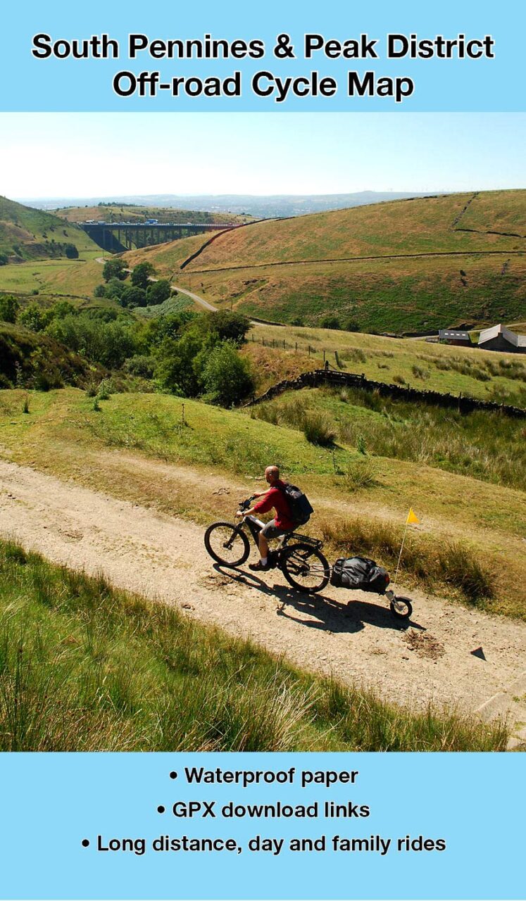
South Pennines and Peak District Off-Road Cycle Map
Richard Peace, Excellent Books
Printed on tough waterproof paper, this sheet map includes rides using the Trans Pennine Trail, Pennine Bridleway and featuring a 110 mile ‘Pike to Peak’ circular route, linking the famous landmarks of Stoodley Pike near Hebden Bridge to Rushup Edge and Mam Tor in the Peak District National Park. 14 circular bike rides are included, mostly with a mountain biking edge, along with 20 family trails and web links to GPX files.
Also available from: Waterstones – Wordery
See also Planning Tools
Back to Tips