On the westernmost edge of the High Peak near the mighty Kinder Scout, the modest Sett Valley Trail follows a former branch line railway for 2.5 miles between New Mills and Hayfield; good for beginners and an ideal leisurely link into longer routes.
Route details
- Distance
 5.5 miles / 8.9 km
 - Elevation Gain
 46 m / 150 ft
 - Time allow 1 hour
- Difficulty
 Gentle
 - Terrain 99% Off-Road Path Traffic-free trails, towpaths & cycleways 1% Road Quieter lanes, sometimes brief busier roads 0% Unpaved Bumpier tracks & bridleways
- Suited to
 All Bikes
  Gravel Bikes
  Mountain Bikes
 - Notes Good surface throughout but steep cobbles at New Mills end. Several standard gates and short steep ramps at quiet road crossings.
- Suggested Start New Mills SK22 4BY SK 0004 8542
- Places Birch Vale, Derbyshire, Hayfield, High Peak, New Mills, Thornsett
- Attributes Accessible by train, Car parking, Family-friendly, Gentle climbs, Ideal for electric bikes, Industrial heritage, Out and back, Pubs and cafés, Railways, Reasonably flat, Reservoirs, Rivers, Suitable for older kids, Suitable for young kids, Towns and villages, Views of hills and peaks, Woodlands and forests
The railway fever of the mid-1800s initially saw two rival proposals for a line to reach Hayfield: one by the Manchester, Sheffield and Lincolnshire Railway via Marple and one branching from the earlier Stockport, Disley and Whaley Bridge (today’s ‘Buxton line’). Ultimately, the former prevailed and on 1st March 1868 the Marple, New Mills and Hayfield Junction Railway opened services to this village in the hills.
Serving local passenger and goods traffic, including the many Calico printing works which once dotted the green valley with dark chimneys, the line was fairly busy for a backwater branch. As visiting the hills for hiking and outdoor pursuits became more commonplace through the early 1900s it became more useful still.

Indeed, it was this railway which served an integral role in the Kinder Mass Trespass of 1932, when around 500 protestors, most catching the train from Manchester, walked from Hayfield to Kinder Scout to fight for the rights of access to open countryside we take for granted today.
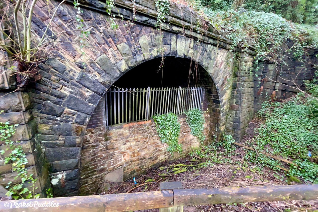
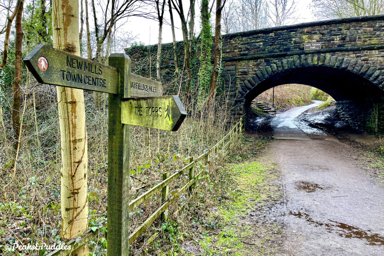
This easy climb up to the head of the valley required few engineering challenges to achieve, save for the 180 metre Hayfield Tunnel which took trains off the mainline at New Mills Central and directly under the centre of the town to emerge above the River Sett.
Maintenance of this tunnel versus falling passenger numbers was quoted as a reason for closure, yet ridiculously the same diesel trains which once travelled to Hayfield continued to use the tunnel to switch tracks for several decades later (today it is completely mothballed).
Had it lasted beyond 1970, it’s easy to imagine trains on the branch from New Mills being filled evermore with walkers, cyclists and tourists today, providing Hayfield with a more sustainable traffic of visitors, not to mention a vital commuter link for its expanding housing.
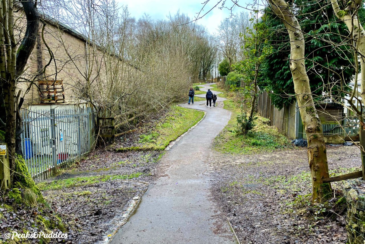
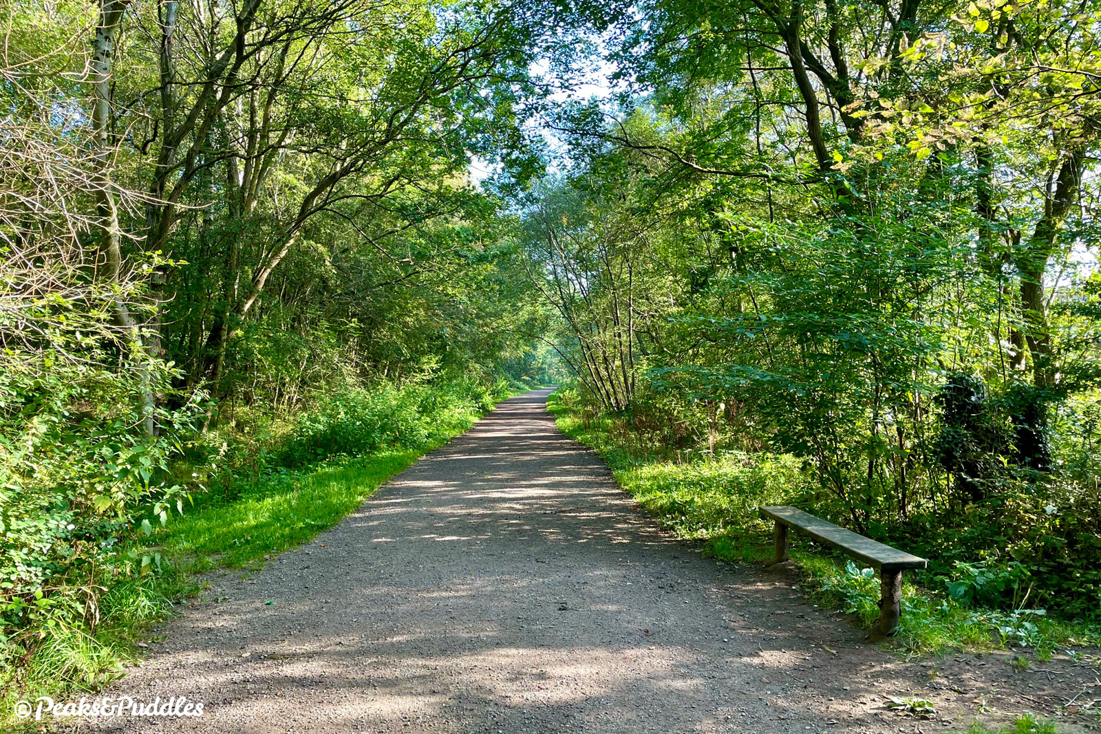
Instead, the line was lifted, purchased by Derbyshire County Council in 1973 and buildings demolished by 1975. The terminus station is now a car park, with visitors powering their own way along the Sett Valley. Though a very short trail by Peak District standards, it provides an important local link and an easily achievable off-road route for beginners.
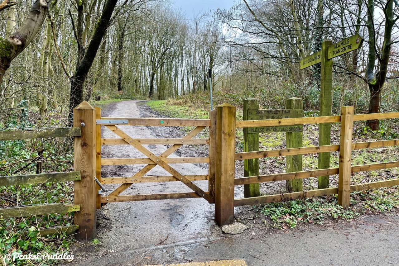
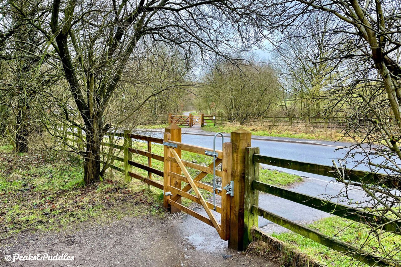
The relatively good surface throughout is spoilt only by a few inconvenient road crossings where the railway’s former bridges were removed. In truth, it’s not the roads which sever this enjoyable ride so much as Derbyshire County Council’s insistence on placing hefty bridleway gates either side of every single one. Like a sledgehammer to crack a nut, they sadly make the trail far less accessible than it should be where often signage or a gentle chicane to slow your approach to each road would suffice.
For a slow family ride with capable kids those gates won’t be too much of a problem, but — if we’re never to see the railway reopened — it’s frustrating to see this potentially brilliant, direct and environmentally-sound route between New Mills and Hayfield treated as a third-class way to travel.
Route map
Getting there
With Hayfield nestled on its own amongst monstrous hills at the top of the valley, it’d be wise to think New Mills offers the more accessible place to join. This is true and it isn’t: there’s the railway station and car parking, but actually getting to and finding the start of the trail by bike from linking routes like the Peak Forest Canal isn’t as easy as it should be.
The first part of the trail is certainly a bit narrow as far as the first road crossing on Church Lane, beside the town’s leisure centre. It’s not until St George’s Road where it opens out properly as a bridleway, so joining here can be a sensible option to avoid the clunky beginning.
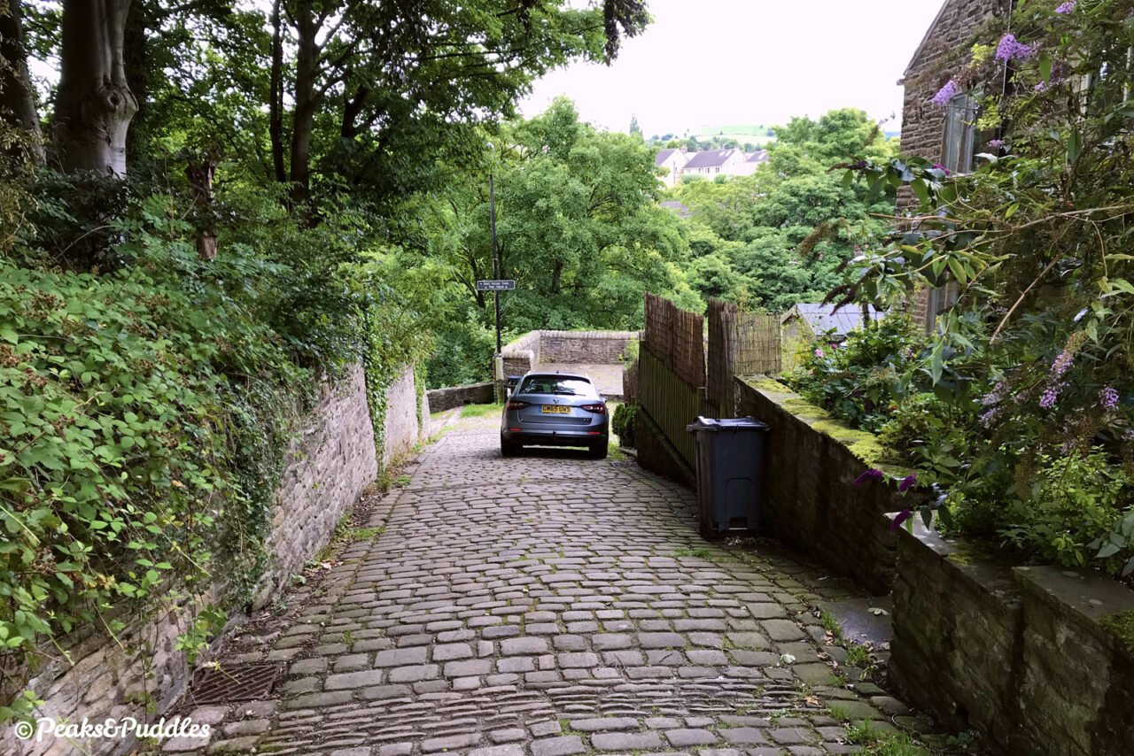
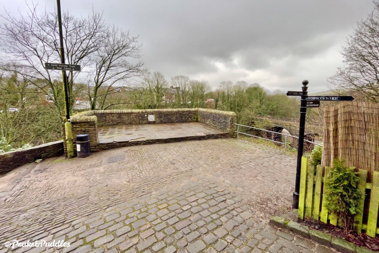
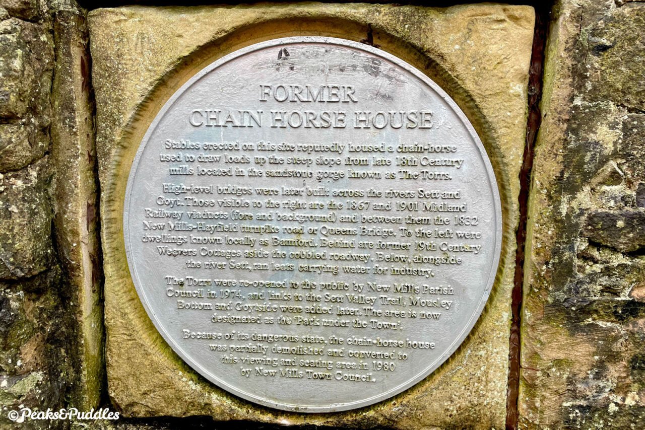
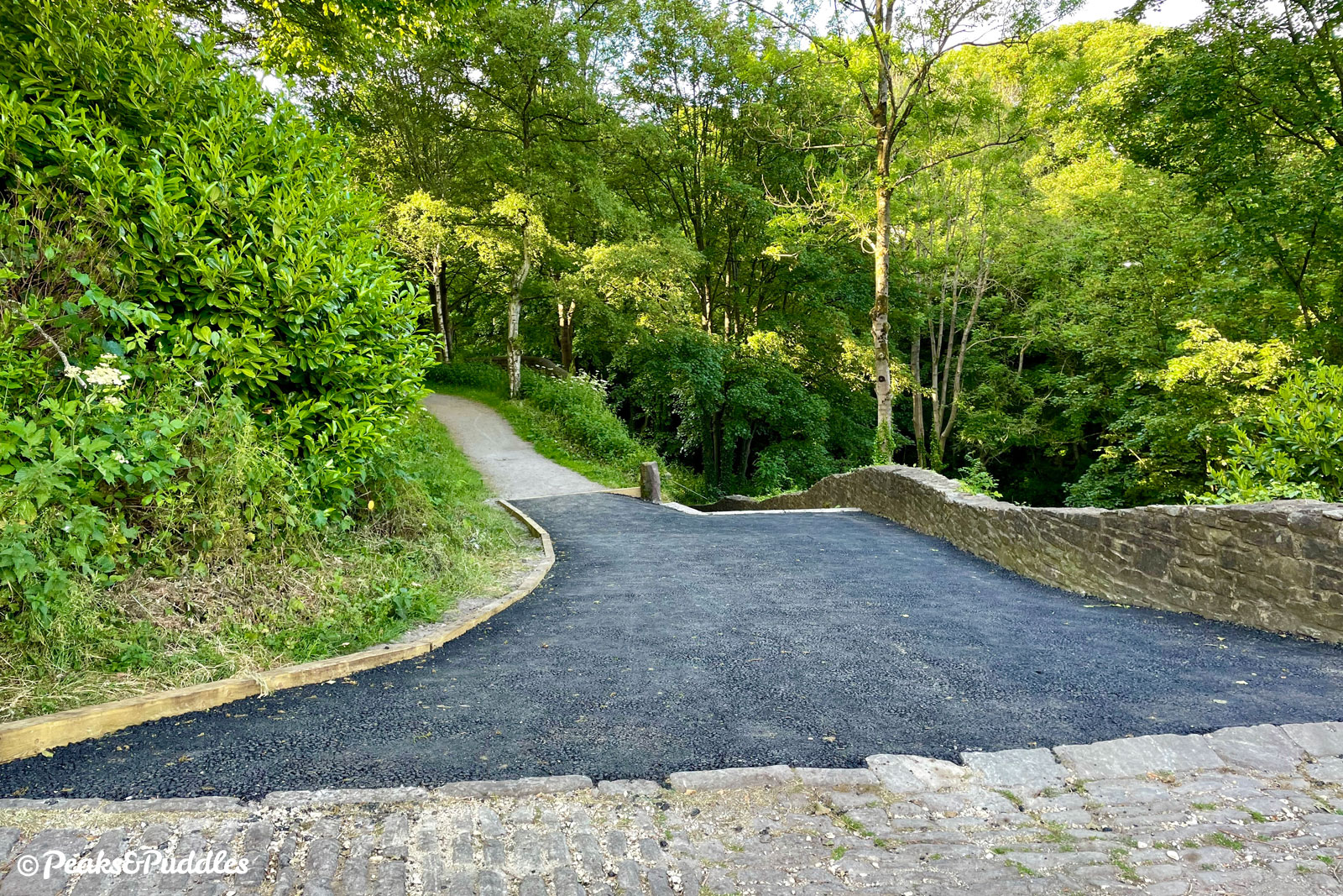
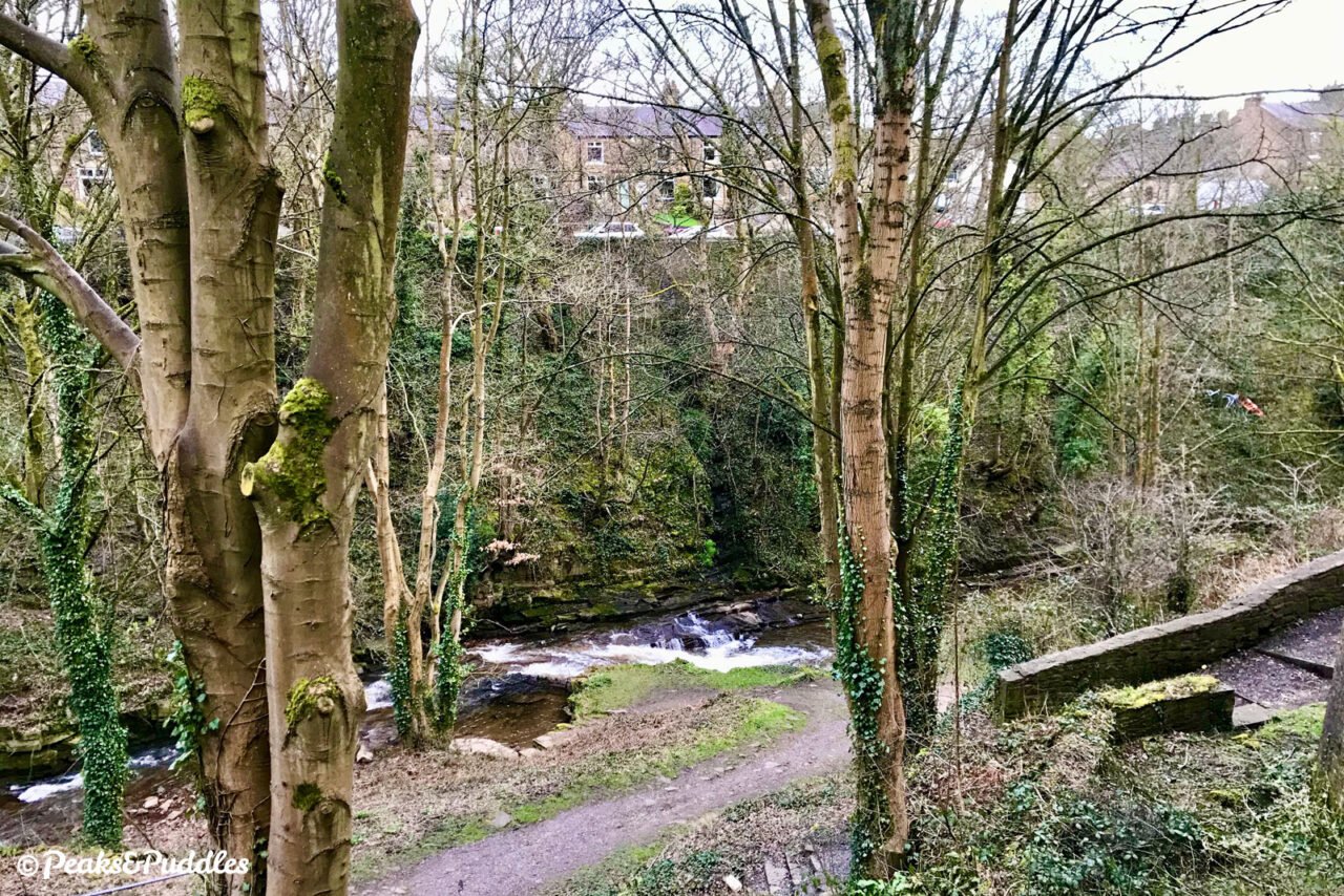
To begin from the town centre itself: from the mini roundabout at the heart of the town, turn onto Market Street then an immediate right onto Rock Street. Continue straight over Torr Top Street, down onto the unforgiving cobbles of Lower Rock Street and you’ll come to a panorama over the dramatic Torrs gorge. The trail begins to the left.
From the Peak Forest Canal: there’s no one completely good link (yet). More confident urban cyclists will be happy simply heading out from the marina area on Victoria Street down Albion Road and taking a left for either Union Road or Hyde Bank Road (turn right into the leisure centre car park to join the trail). Otherwise, you’d need to trace a route dipping down into the Torrs Riverside Park, bearing in mind this isn’t currently an actual cycle route, despite much use by locals. You can get there via Wirksmoor Road or the footpath leading down to Goytside Farm from Bridge 29 further south. Both require short steep hills with gravelly surfaces.
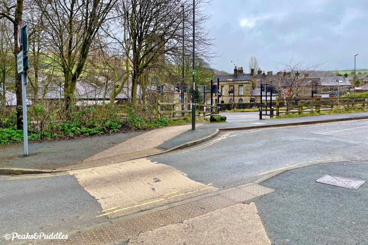
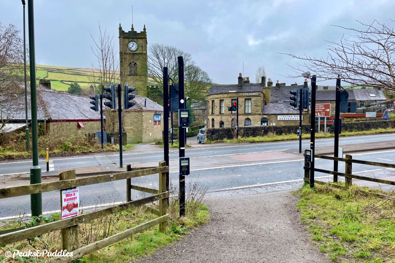
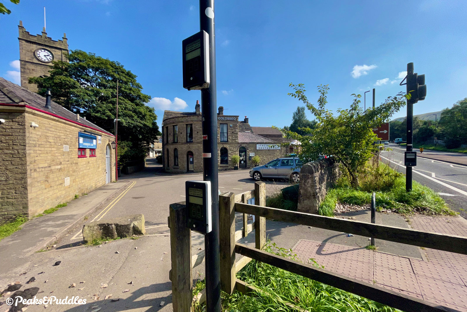
By train: Leaving the train at New Mills Central railway station, don’t look too long at the tantalising Hayfield Tunnel, where the line once continued at level deep under new the town. Instead you’ll need to head up and over: via the steep Station Road and a right turn, to the mini roundabout, where a left turn takes you into Market Street, then follow the route from the town centre above.
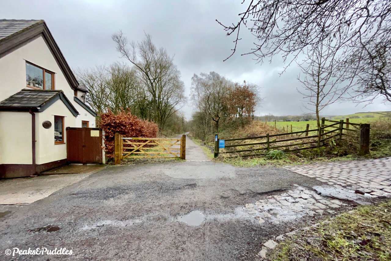
By car: The former station site at the Hayfield end is now a convenient car park (pay) for the trail and village, just off the A624. That said, starting at the New Mills end and gradually getting deeper into the valley feels more rewarding, so why not buck the trend: Torr Top Street car park (pay) in New Mills is right next to the start of the trail on Lower Rock Street.
Things to note
- For 300 or so metres between the centre of New Mills and Church Lane, the trail is narrow and uneven in places, with a length of cobbles close to town and a short, narrow zig-zagging climb. An alternative route from the town avoiding this clunky start would be High Street and St George’s Road, both shared with cars, and be warned the former is also quite fearsomely steep.
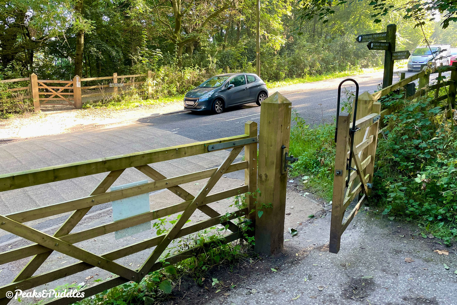
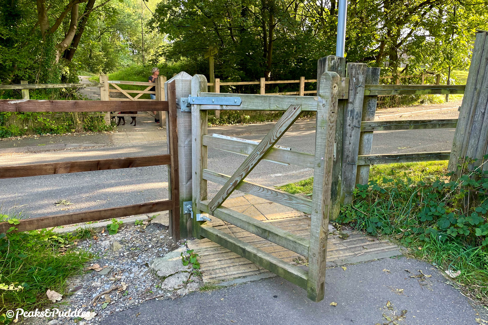
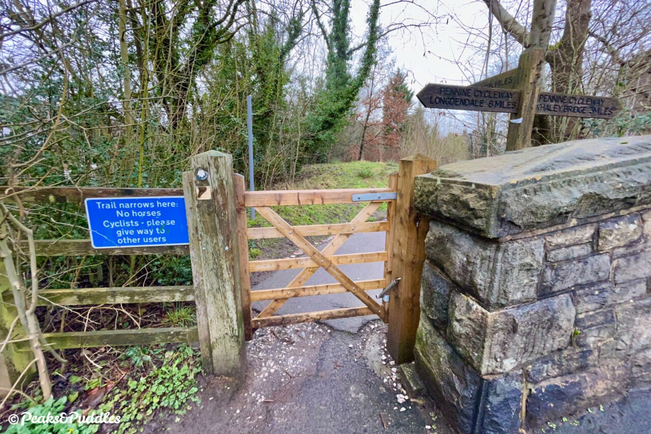
- There are four road crossings along the route, all with dropped kerbs and fairly quiet, yet priority is sadly as ever given to road traffic. Take care approaching and crossing if with younger riders.
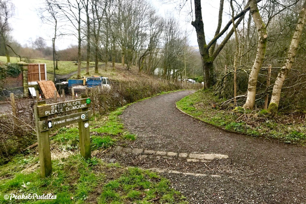
- At last count, there are no less than seven gates in just 2.5 miles along the trail. Some just open with a push, others are fitted with long bridleway handles, but the council also recently began to fit some with springs: making them even more cumbersome — and noisy! While some of those springs have gone missing already, they’re still an unnecessary faff, go against cycle route design standards and pose a genuine problem for some users, including those on non-standard cycles where stopping or dismounting isn’t so easy, especially on slopes or without someone to assist. If this is the case for you, please do contact Derbyshire County Council to tell them, as they currently seem unwilling to make the modest changes needed to bring accessibility up to modern standards.
Found this guide helpful?
Please consider chipping in the price of a coffee to help pay the bills and support my work. Or become a Peaks & Puddles Plus supporter to get access to exclusive routes and pages in return.
Route stage-by-stage
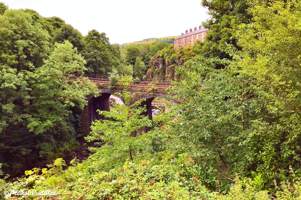
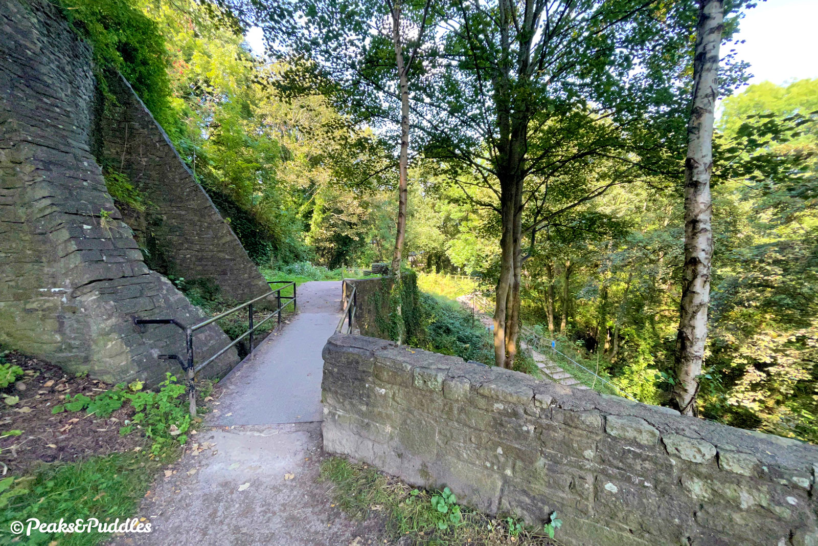
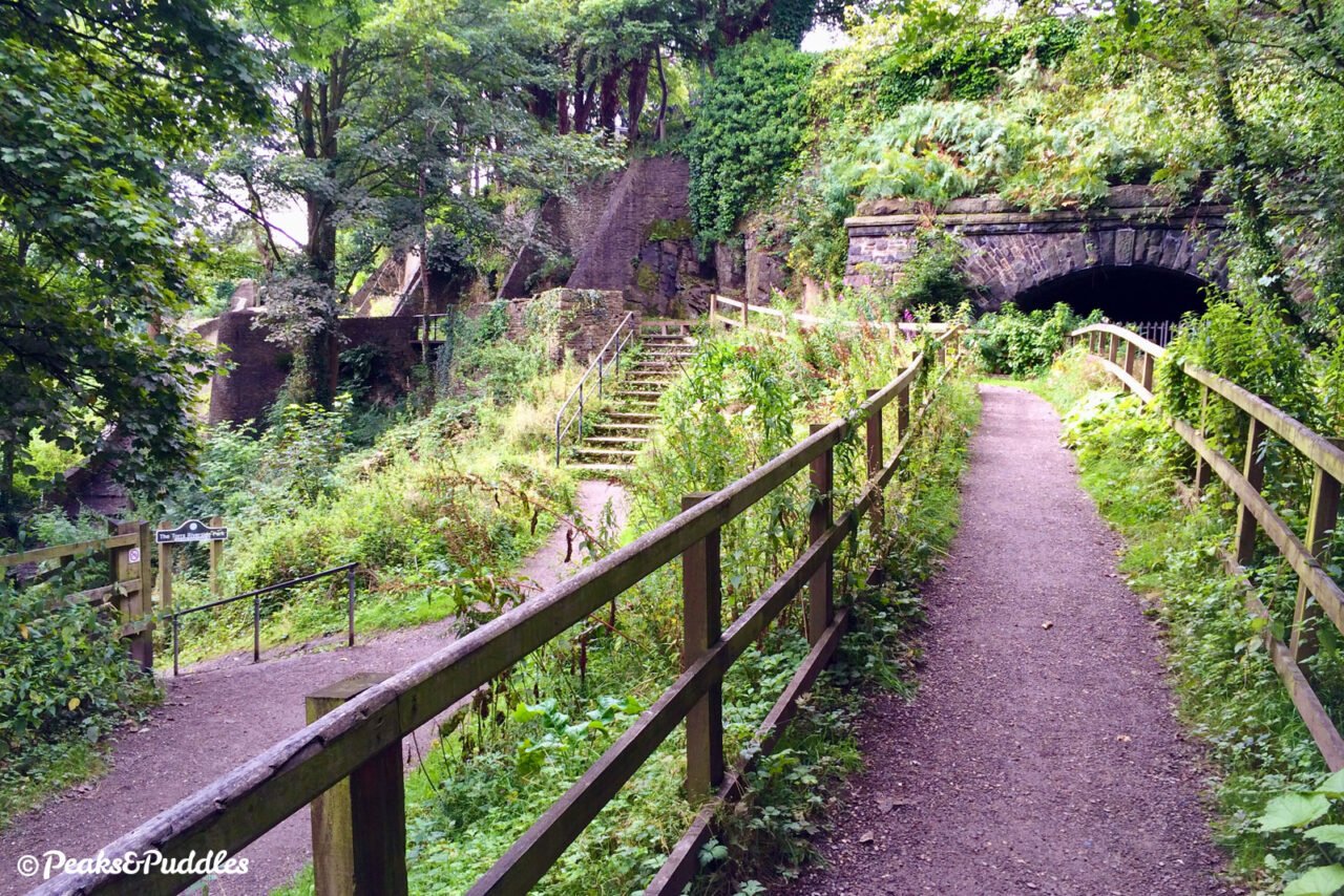
- From Torr Top Street in New Mills, bounce your way down the cobbles of Lower Rock Street to a viewpoint over the final throes of the Sett Valley. To the right, the remaining railway line to Sheffield sees trains emerge from a tunnel straight onto a viaduct over this stunning landscape. Before the building of the town’s two high level bridges, the steep path to the right was one of the few ways to cross the Torrs gorge and the confluence of the rivers Sett and Goyt deep below. You’ll be relieved to turn left instead, over initially slightly bumpy terrain, to join a solid but narrow path bordered by wooden fencing. As the path veers right towards what is, surprisingly, the only intact overbridge of the railway era on the route, look instead to the left for a close-up of an abandoned tunnel portal. From here the Hayfield Tunnel ran directly under the town, emerging at New Mills Central station directly next to the portal of New Mills Tunnel which you glimpsed earlier. It’s remarkable two such difficult tunnels were built in such proximity and shows the confidence in the town as a major hub of industry at the time.
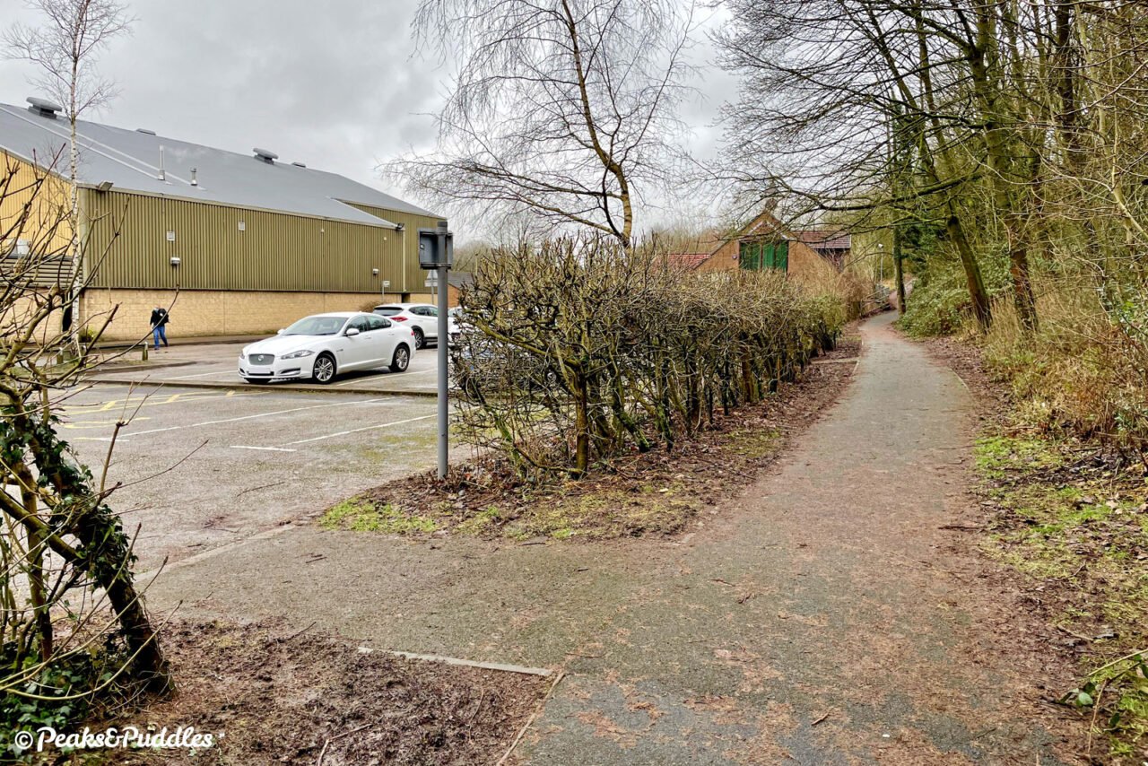
- Climbing briefly after dropping under the bridge carrying Hyde Bank Road, you emerge alongside the town’s leisure centre. The path narrows here and leads you on a less than ideal route around the modern developments. It can even be easier to turn off into the car park, turn right and at the end of the access road veer onto the tarmac path past the medical centre to Church Lane. Either way, cross the road and use the lower, left gate to continue (the right leads to a set of steps!). This steeply slanted bridge over the railway was filled in, while the route beyond has been shifted about considerably to remove an overbridge at St George’s Road entirely. This means you drop down only to climb up another embankment. The path zig-zags like a snake in a well-meaning attempt to ease the gradient, but makes things unnecessarily narrow.
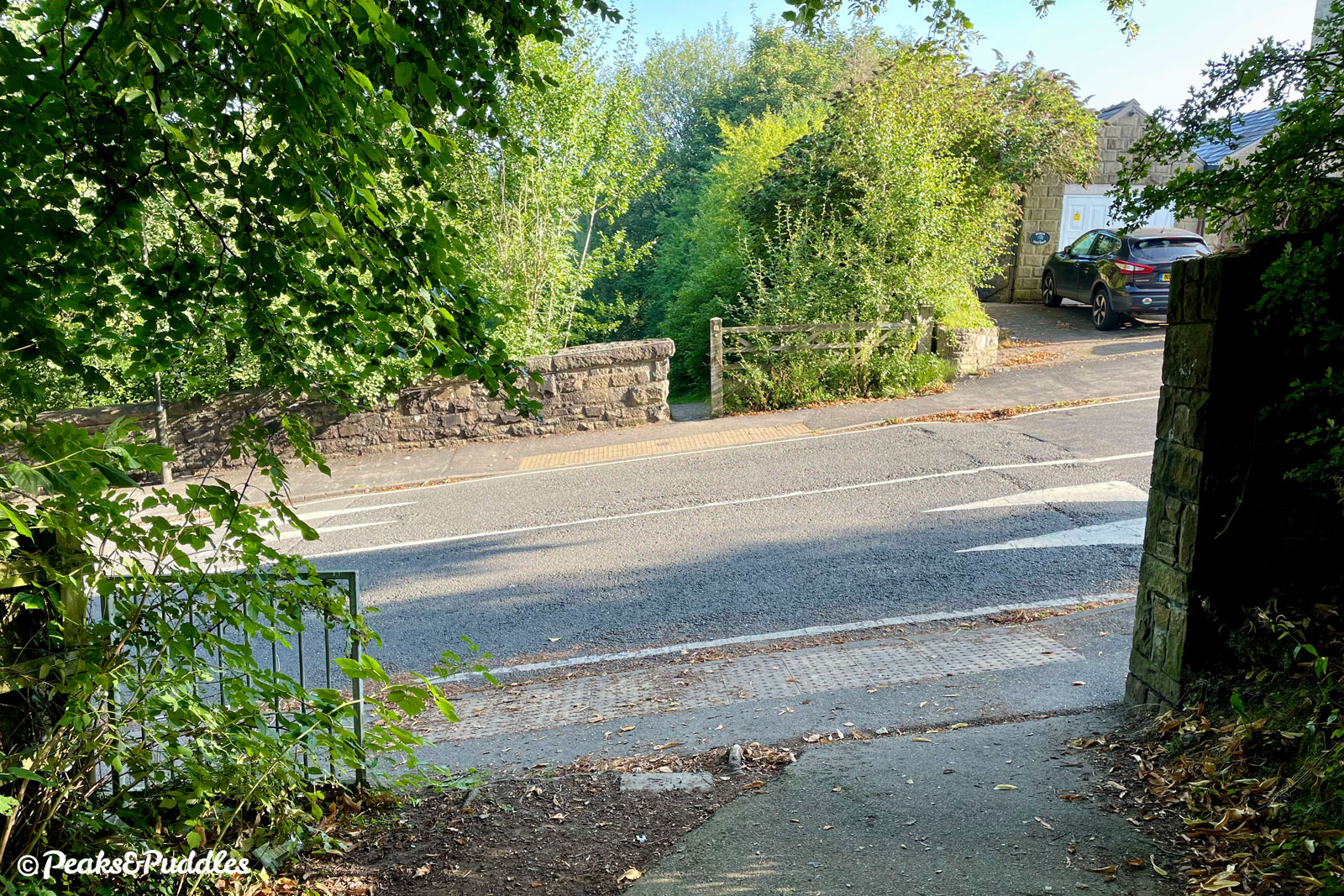
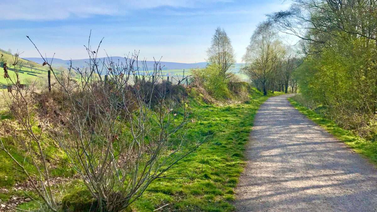
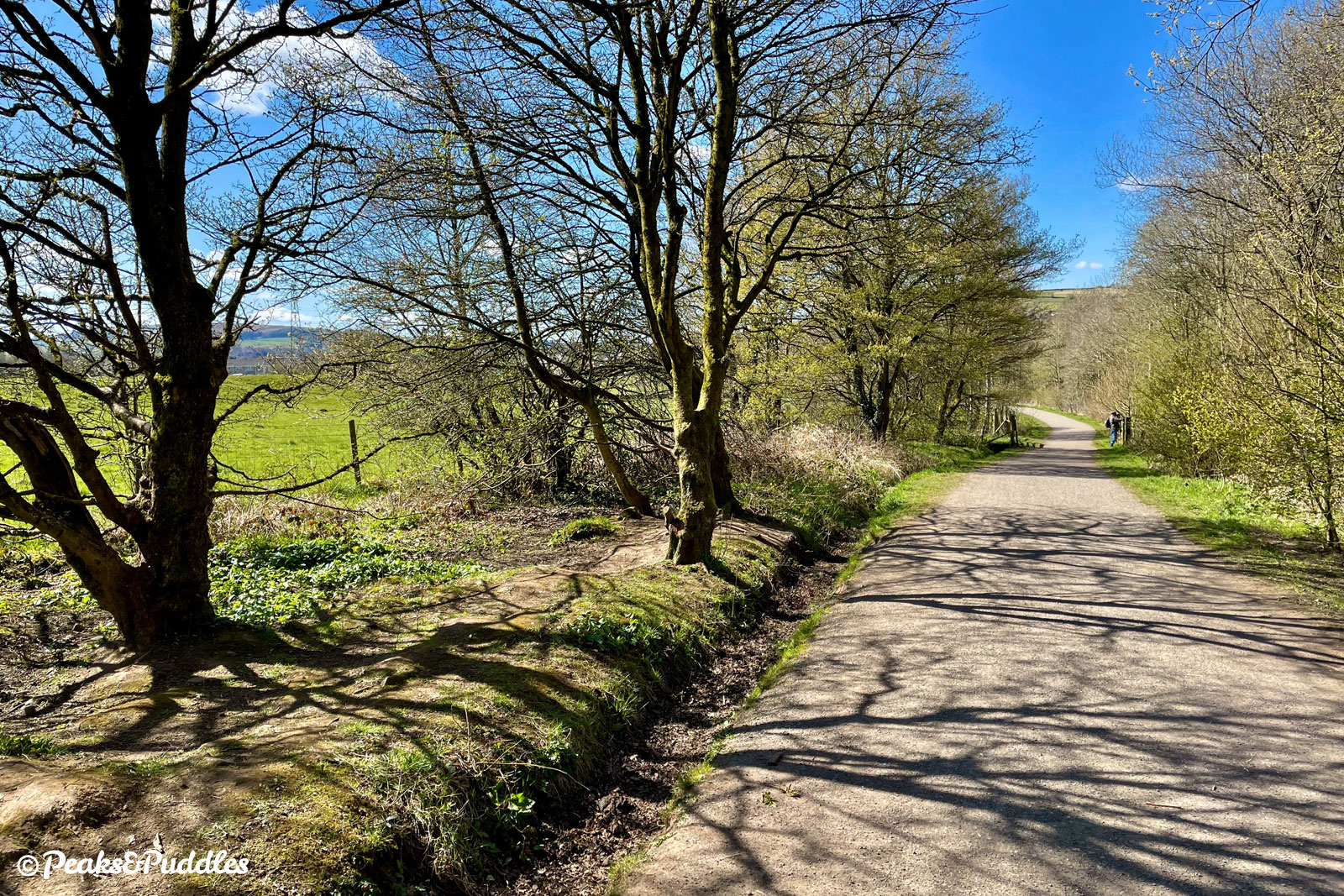
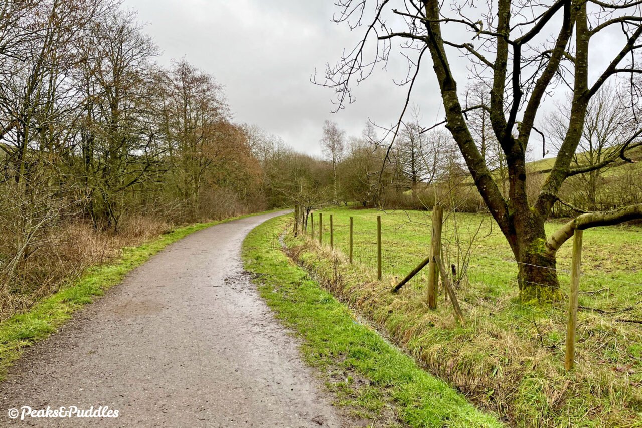
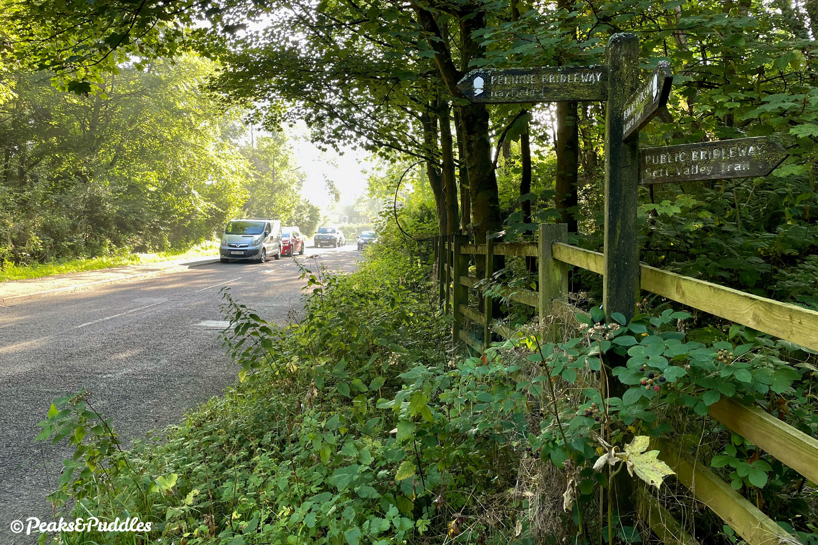
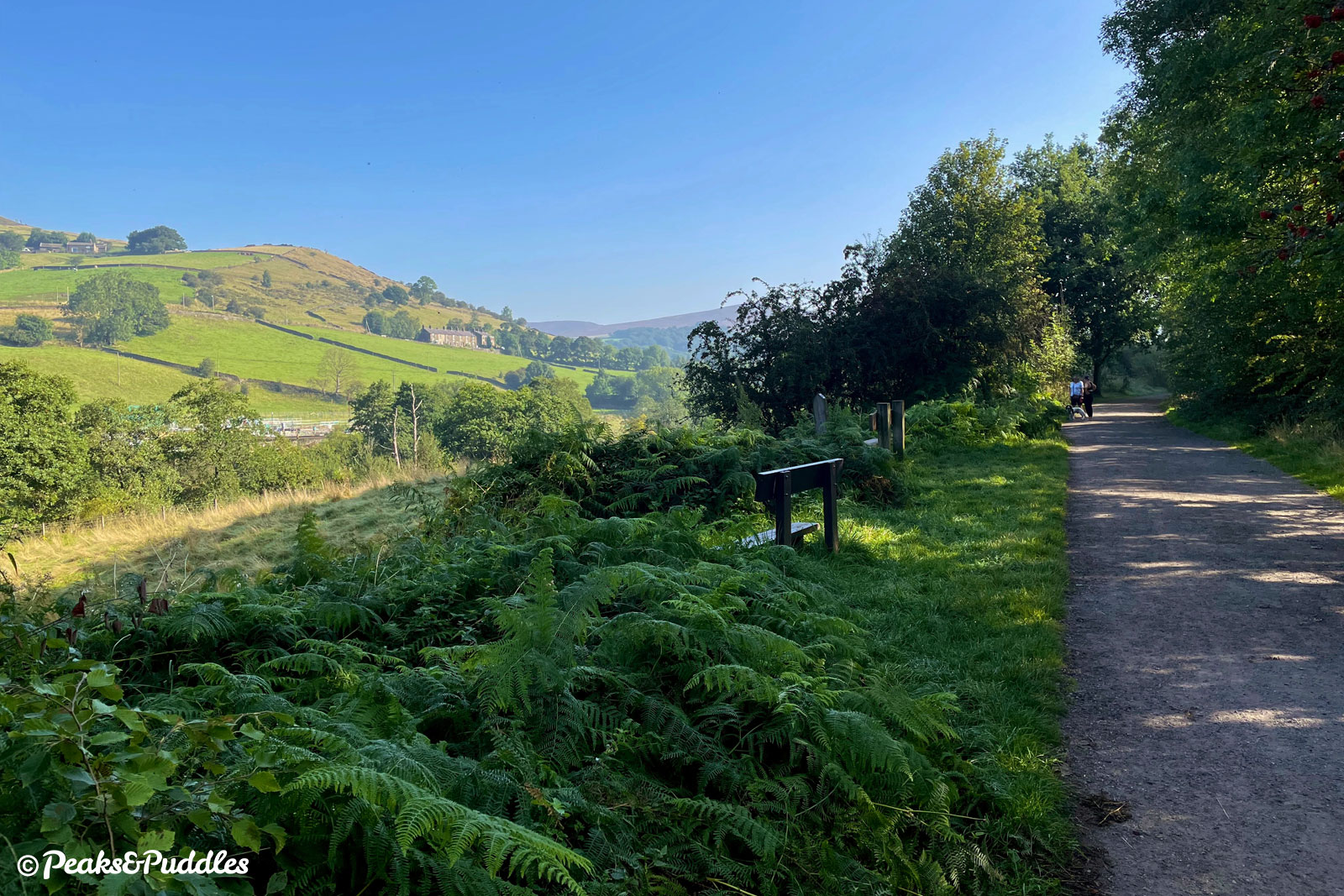
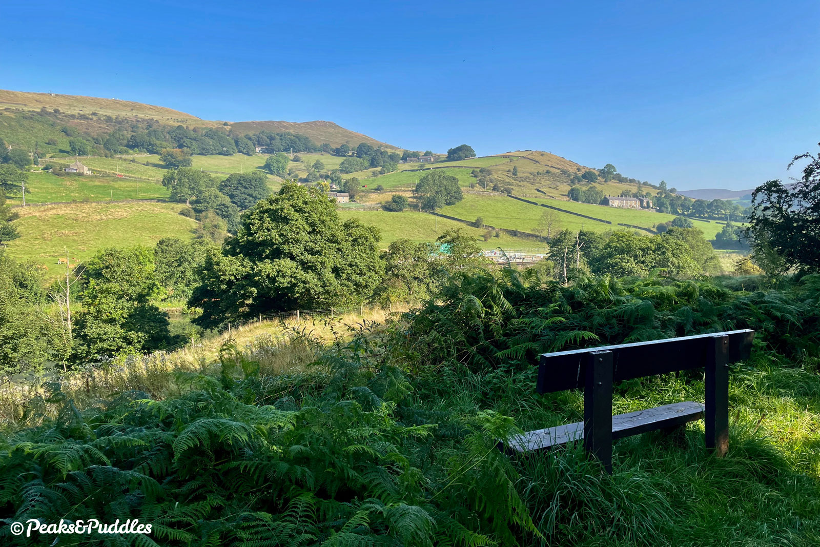
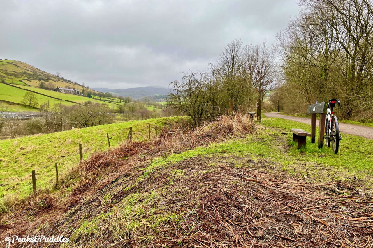
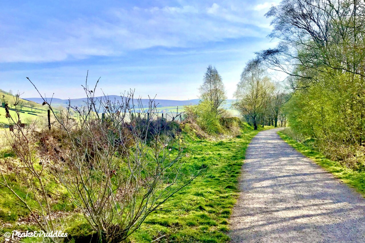
- After fumbling through another set of gates either side of the fairly quiet road, the route finally opens out into something resembling a real trail. Leaving Hide Bank and the centre of town behind, the heavily wooded path rises and falls gently, past the newer housing of Ollersett. At Watford Bridge, the route crosses a slender low stone bridge over the road below. This is the only such viaduct on the line, though note there’s no direct access onto or off the trail here. One of several pockets of industry in the otherwise green valley, a Calico cotton print works once occupied the land below, still dotted with numerous mill ponds. A little further along, there are two more gates to negotiate as High Hill Road cuts across the trail on its way to Thornsett, one of the four original hamlets making up New Mills.
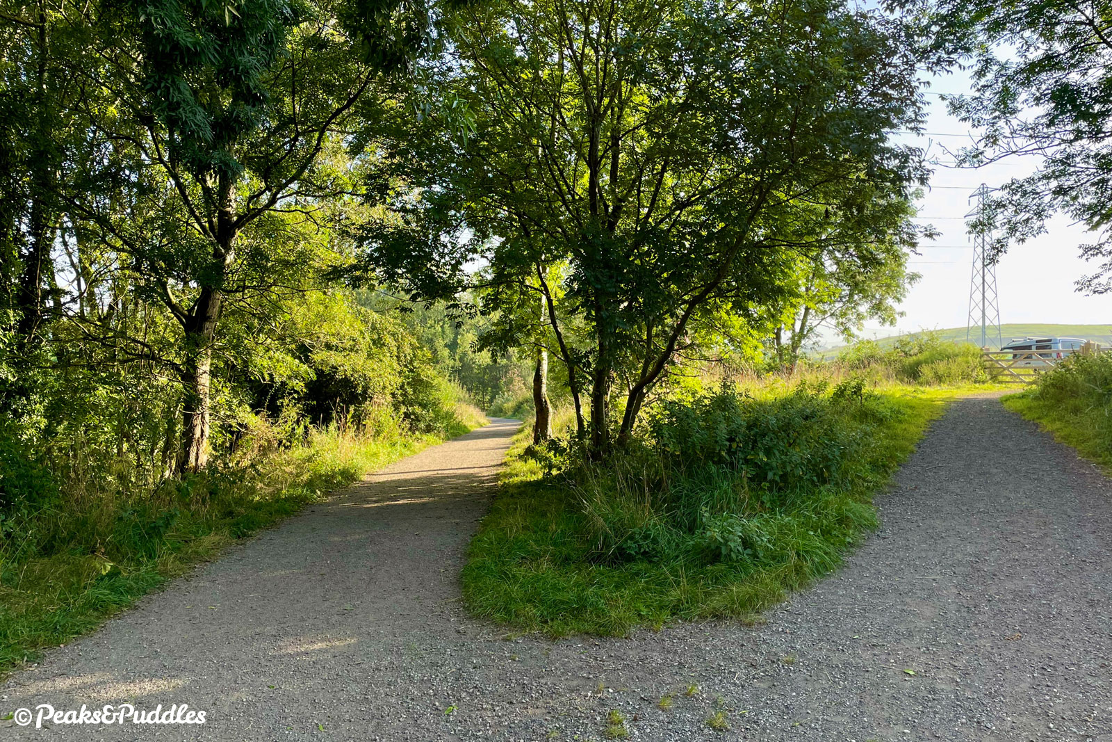
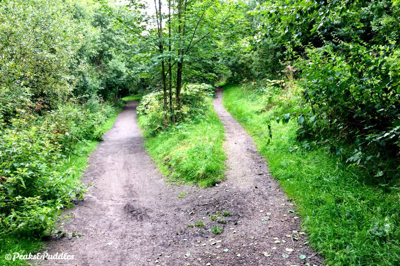
- As the tree-lined route continues, with open grazing fields rising to one side, there are glimpses to the left of another vast old industrial site. This was once the Garrison Bleach Works bordering the river — it’s safe to say the water quality of the Sett has improved enormously since those days! The cottage at Wilde’s Crossing passes next, then after roughly half a kilometre the trail suddenly forks. Be sure to follow the left path gently downhill, or you’ll find yourself at a tricky set of steps.

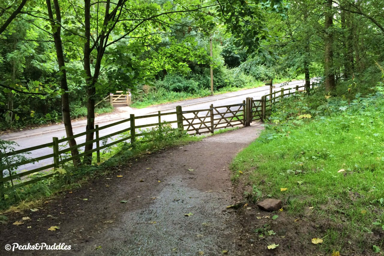
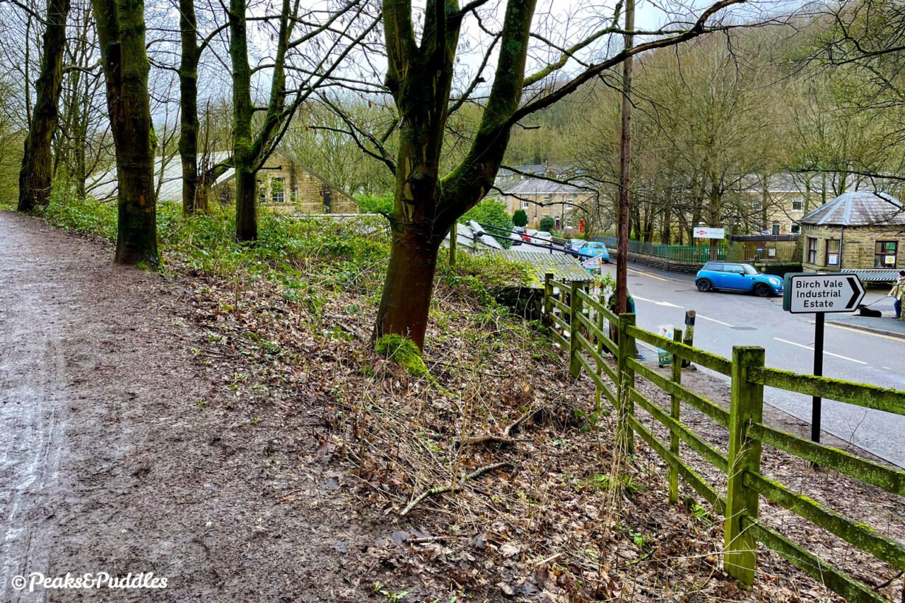
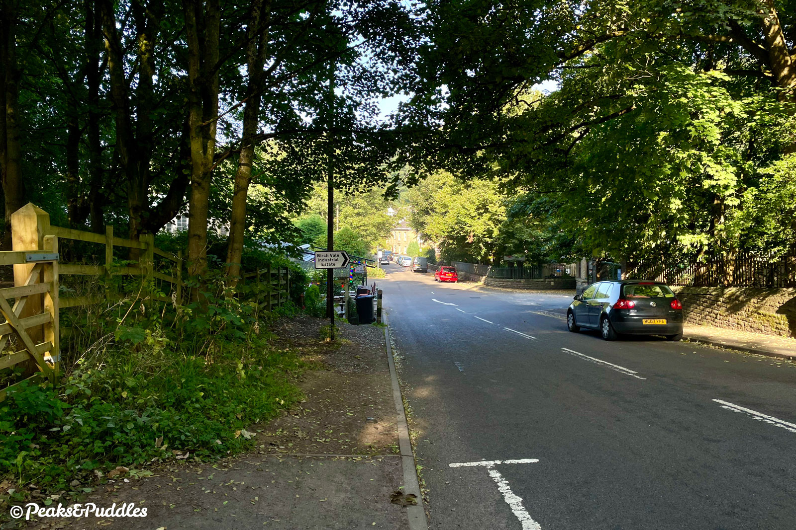
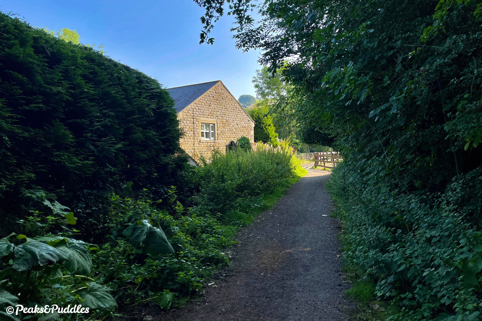
- This is Station Road, Birch Vale and another lost bridge. The road crossing at least gives you chance to divert left to the popular Sett Valley Cafe; otherwise, it’s a very short sharp climb back up onto the trail and perhaps easier done on the road than the narrow, gravel path alongside — there is another access gate just around the corner at the top. This was the site of Birch Vale Station, where a simple wooden building sat on a single platform; the only intermediate station on the line.
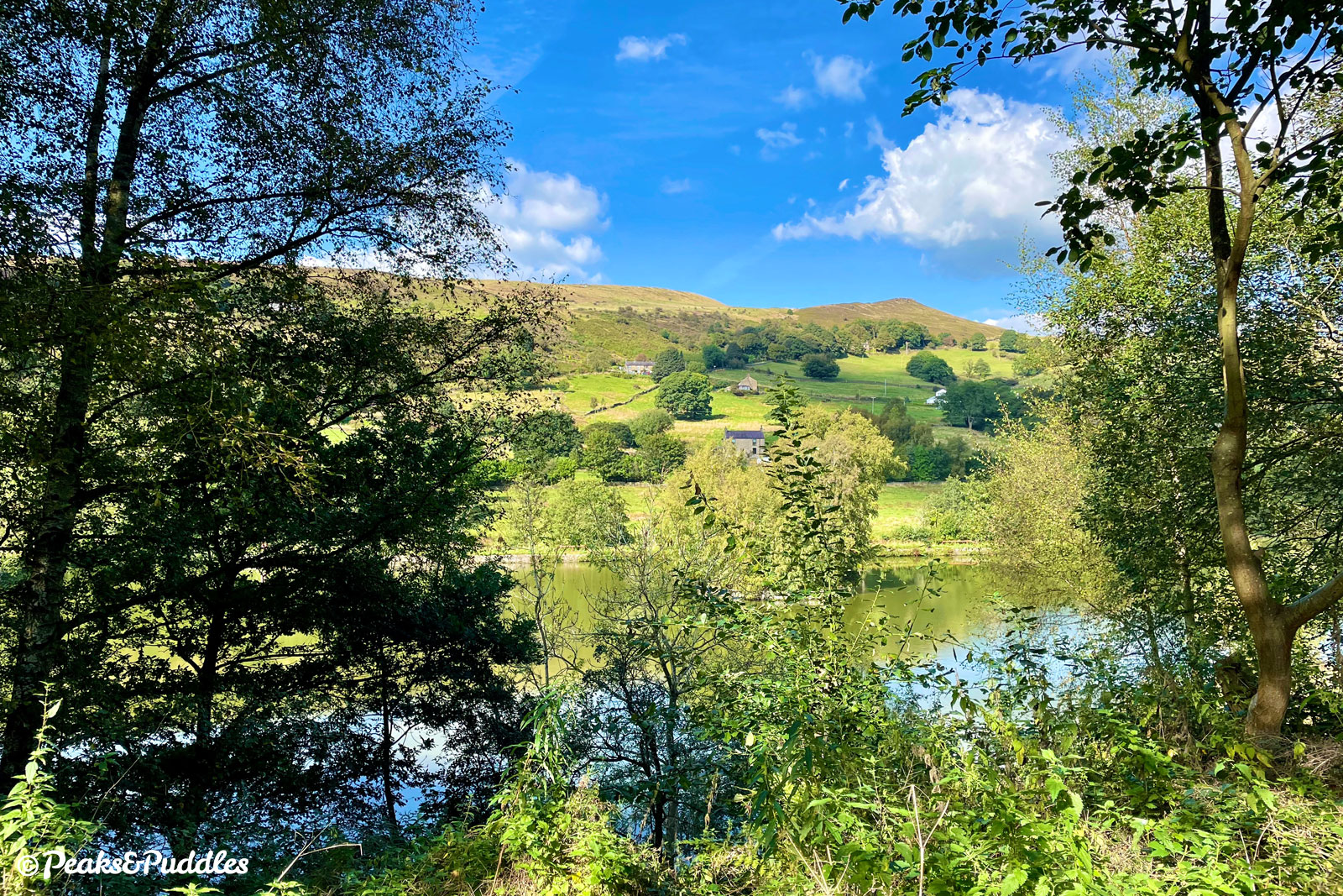
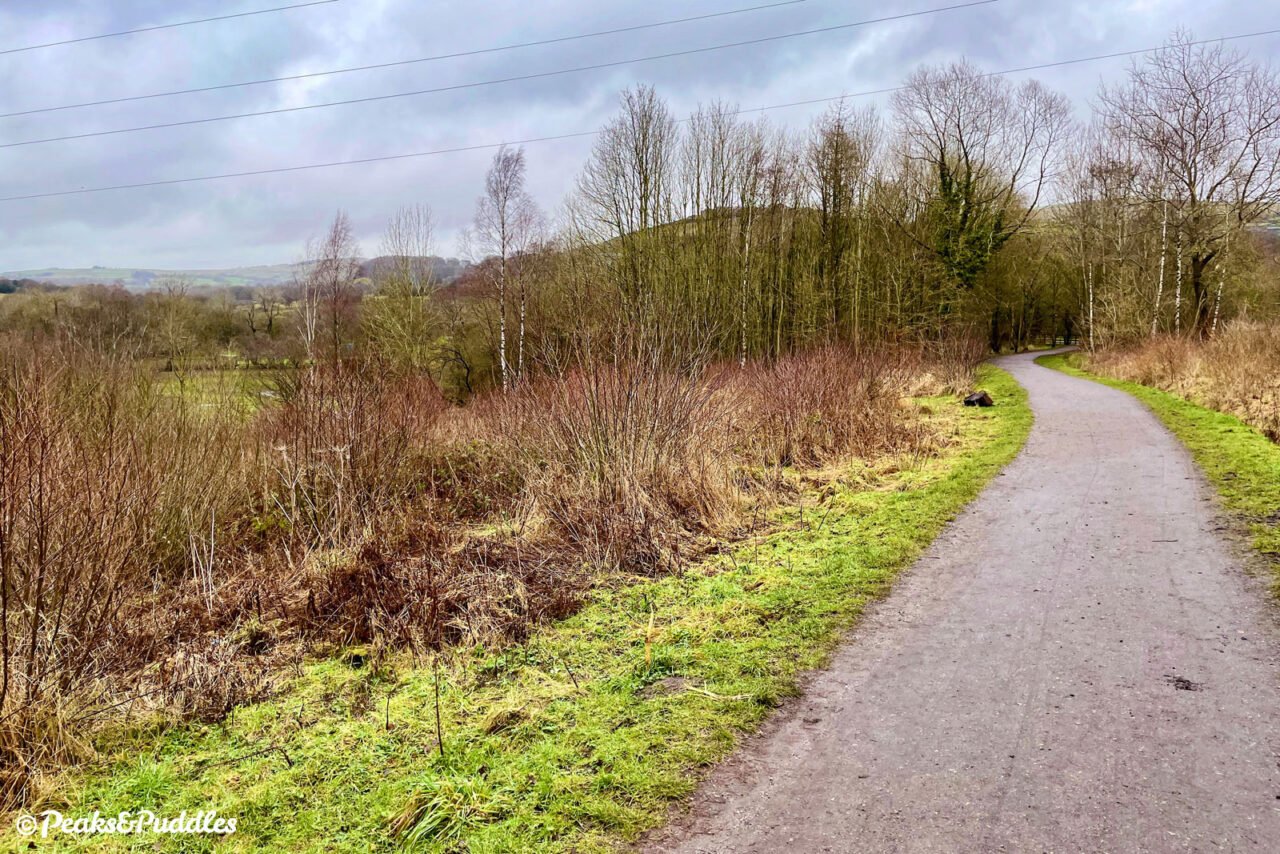
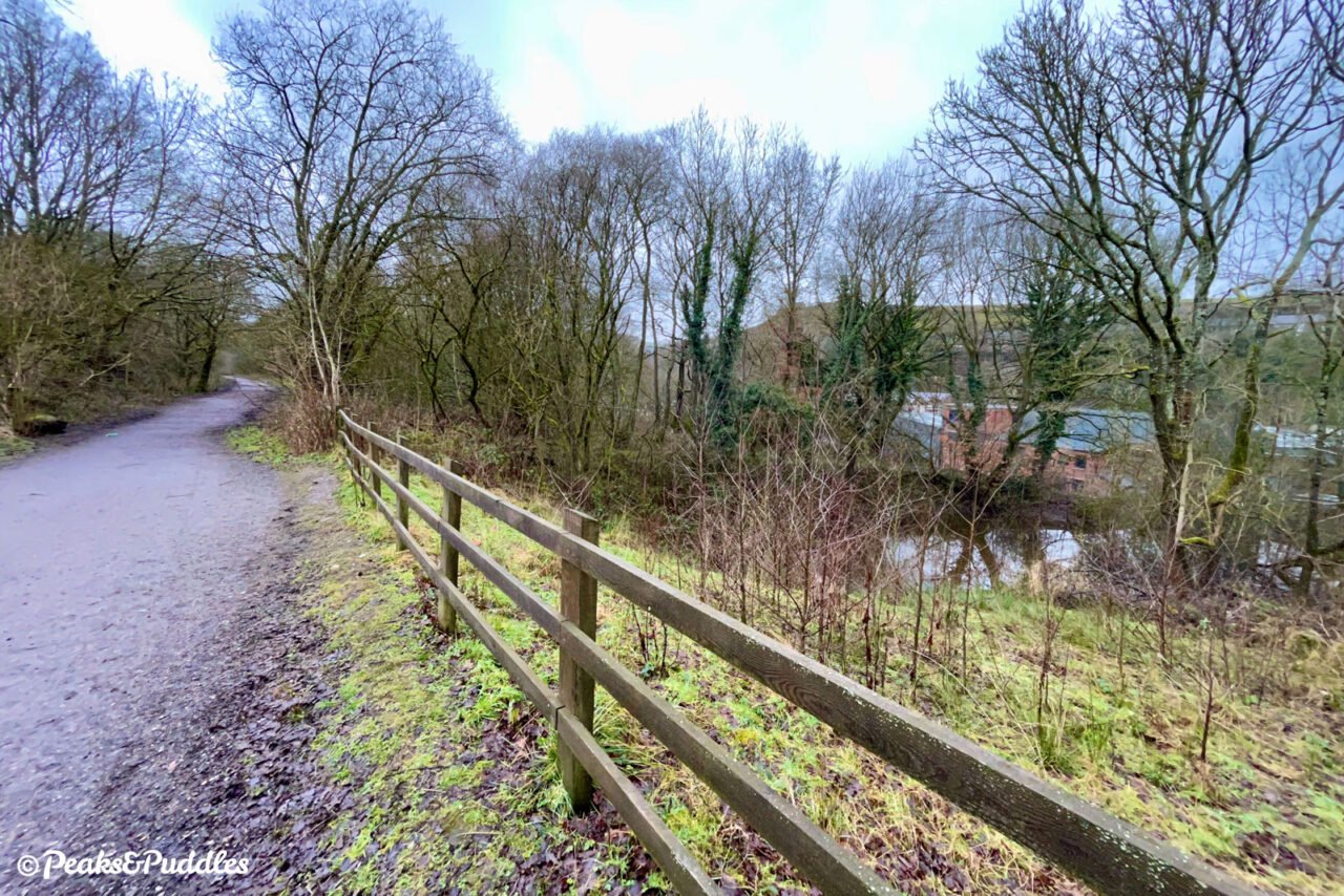
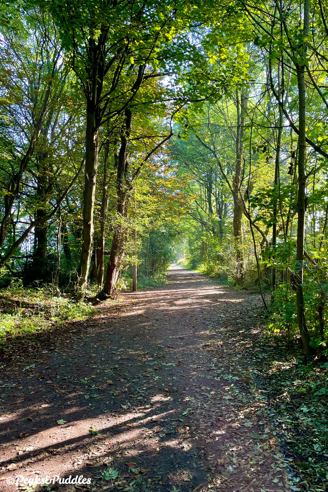
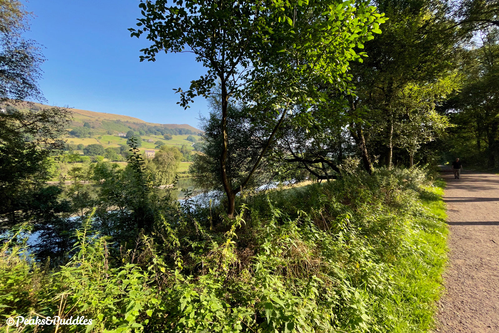
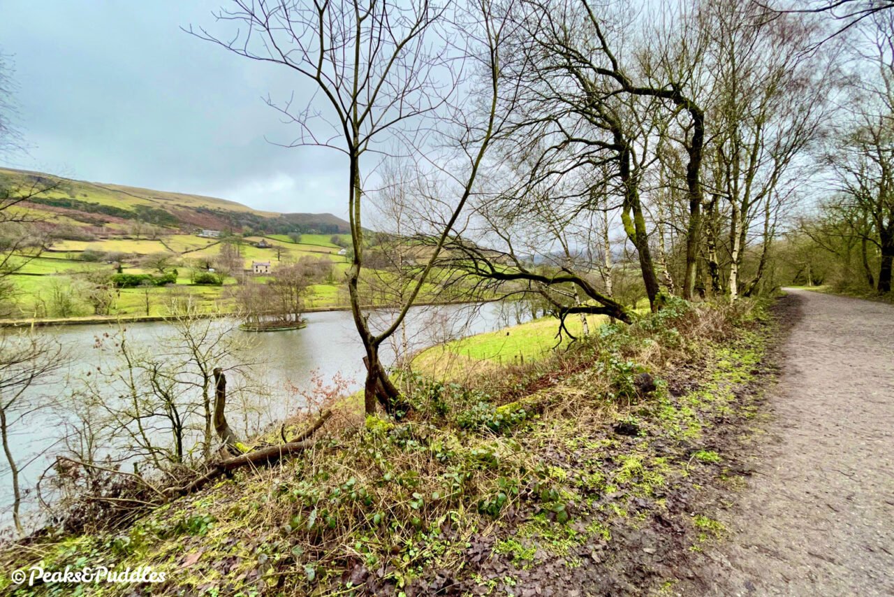
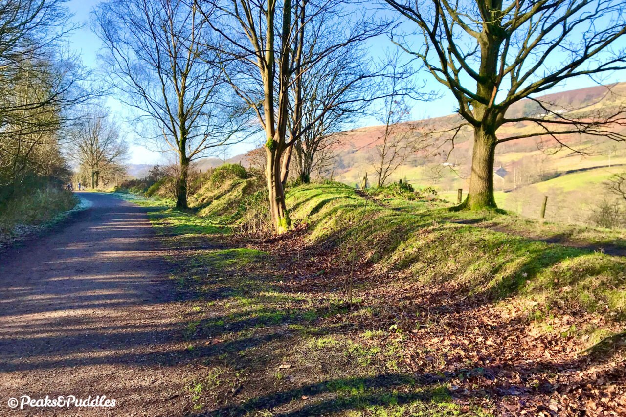
- Now on the final length to Hayfield, with not a road crossing nor a gate standing in the way, some of the best scenery lies just ahead. Soon enough, views to the left open up over a sizeable old Calico mill reservoir now used for fishing, with the peak of Lantern Pike towering behind. As the trail curves ahead, the plateau of Kinder Scout and its undulating moors suddenly make themselves known. From late summer, the whole family of heather-clad hills briefly turn a spectacular purple.
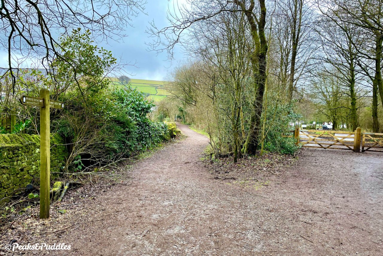
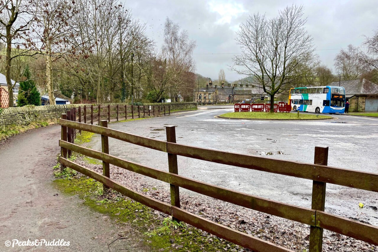
- A long, wide and straight final stretch passes the Bluebell Wood Local Nature Reserve. As you approach Hayfield, the trail offers two choices to end your route: a gate leading into the car park and former station site, or an open bridleway path to the left, conveniently skirting around and delivering you at a crossing over the A624 for the village centre itself. Surprisingly, though, this wasn’t where Hayfield’s railway lines ended. A further line once crossed the main street and climbed gently onwards along the Sett to service the construction of the Kinder Reservoir. If your legs are calling for a bit more of a stretch, try the Sett Valley Trail with Kinder Extension cycle route guide to explore further.
- Turn back and return via the same route.
Found this guide helpful?
Please consider chipping in the price of a coffee to help pay the bills and support my work. Or become a Peaks & Puddles Plus supporter to get access to exclusive routes and pages in return.
More to explore
- New Mills
From its heavily industrial beginnings as a cotton spinning and printing town, harnessing the hard materials and powerful water of its superbly hilly landscape, New Mills is today blossoming into a gem on the edge of the Peak. An unusually good array of independent shops combined with cafes, pubs, an arty events schedule and a genuinely unique setting, atop a rocky gorge, make it a more satisfying stop-off than most hotspots in the Peak District. All a 30 minute train ride from Manchester. - Torrs Riverside Park and Millennium Walkway
The park beneath New Mills is where the rivers Sett and Goyt meet. Still with many remnants of past industry, when the gorge was stuffed to the brim with towering stone-built mills, new landmarks today include the innovative hydro-power turbine and the strikingly modern Millennium Walkway. Curving precipitously around above a thundering weir, the elevated walkway allows access along a previously completely inaccessible part of the river. The park itself continues downstream right out to the hamlet of Hague Bar, through woodlands, meadow and nature reserve alongside the River Goyt. Sadly not (yet) a designated cycle route, despite much local use. - Lantern Pike
This 373 metre summit across the valley from the trail is a rather shorter climb than neighbouring Kinder, but still breathtaking in all ways. From Station Road at Birch Vale, it’s possible to cycle the Pennine Bridleway right up the hillside — though after one look at the challenging, steep cobbles with anything less than a mountain bike and serious determination, you won’t be blamed for pushing. - Bluebell Wood Local Nature Reserve
This small area of ancient woodland on the edge of Hayfield is a particularly good diversion from the trail for families, with a circular walk and picnic table. - Hayfield
With St Matthew’s Church framed by green hills amongst twisting streets of gritstone cottages, Hayfield is the quintessential sleepy High Peak village for hikers and mountain bikers in particular to set out on their adventures, and return to the rewards of tea rooms, pubs, a chippy and even a chocolatier. - Kinder Reservoir and Kinder Scout
Despite looming ahead for some distance, the famous Peak District plateau and its reservoir are still a further 1.5 miles beyond the end of the trail: see the Sett Valley Trail with Kinder Extension cycle route guide for a way to extend your ride right to the feet of this giant.
Further reading

Scenes from the Past: Manchester London Road to Hayfield book by Ian R Smith and G K Fox
Long since out of print, this essential pictorial title for local railway fanatics contains a wonderful in-depth look at the Hayfield branch in steam across its latter pages.

New Mills to Sheffield and Hayfield (Northern Lines) book by Vic Mitchell and Keith Smith
Useful links
- Sett Valley Trail leaflet PDF by Derbyshire County Council
A brief official guide and map for the trail.
Original photography, words and design by Anthony Sheridan unless indicated otherwise. Found this guide helpful? Buy me a coffee to help keep the wheels turning!
The all-important disclaimer: While great care and attention has been put into gathering these routes, ensuring details are accurate and determining their suitability, all information should be used as a guide only and is not a replacement for using your own judgement or research when setting out on new adventures. Peaks & Puddles/the author cannot be held responsible for any issues that may arise from the riders own decision to ride a section of indicated route.
Always ensure your equipment is safe and legal for use and that you are well prepared, carrying everything necessary including access to a good map. Follow the Highway Code and the Countryside Code at all times. Respect the landscape, the wildlife and the people you encounter. And after all that, have fun!