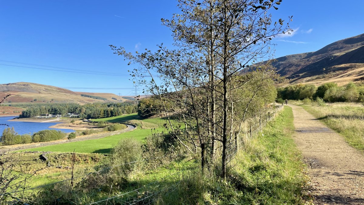
Power along the former Woodhead electric main line railway between Manchester and Sheffield, above five reservoirs in six miles, into one of most dramatic and dramatically altered valleys of Derbyshire’s Dark Peak.
Route details
- Distance
 12.9 miles / 20.8 km
 - Elevation Gain 215 m / 704 ft
- Time allow 1 ½ hours
- Difficulty
 Gentle
 - Terrain 100% Off-Road Path Traffic-free trails, towpaths & cycleways 0% Road Quieter lanes, sometimes brief busier roads 0% Unpaved Bumpier tracks & bridleways
- Suited to All Bikes Gravel Bikes Mountain Bikes
- Notes Surface quite coarse in places and can be wet; may be hard going on narrow tyres. Some tight stone chicanes and narrower gates.
- Suggested Start Hadfield SK13 1DW SK 0251 9615
- Places Crowden, Hadfield, Padfield, Torside, Woodhead
- Attributes Accessible by train, Car parking, Family-friendly, National Cycle Network, Out and back, Pubs and cafés, Railways, Reasonably flat, Reservoirs, Suitable for older kids, Suitable for young kids, Towns and villages, Views of hills and peaks, Woodlands and forests
A complete guide to the Longdendale Trail with a stage-by-stage tour, original photos and helpful tips is coming in the future.
Route map
Original photography, words and design by Anthony Sheridan unless indicated otherwise. Found this guide helpful? Buy me a coffee to help keep the wheels turning!
The all-important disclaimer: While great care and attention has been put into gathering these routes, ensuring details are accurate and determining their suitability, all information should be used as a guide only and is not a replacement for using your own judgement or research when setting out on new adventures. Peaks & Puddles/the author cannot be held responsible for any issues that may arise from the riders own decision to ride a section of indicated route.
Always ensure your equipment is safe and legal for use and that you are well prepared, carrying everything necessary including access to a good map. Follow the Highway Code and the Countryside Code at all times. Respect the landscape, the wildlife and the people you encounter. And after all that, have fun!