
 Allow
Allow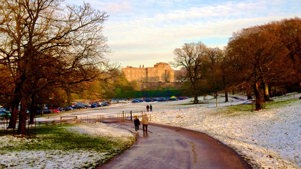
From Middlewood Way to Lyme Park and on to the Peak Forest Canal, this near-perfect little loop always rewards. Traffic-free trails are joined by brief and mostly quiet roads around Marple, Poynton and Disley, with moderate climbs and beautiful views.
Route details
- Distance
 12.6 miles / 20.3 km
 - Elevation Gain
 215 m / 706 ft
 - Time allow 2 hours
- Difficulty
 Moderate
 - Terrain 53% Off-Road Path Traffic-free trails, towpaths & cycleways 42% Road Quieter lanes, sometimes brief busier roads 5% Unpaved Bumpier tracks & bridleways
- Suited to
 All Bikes
  Gravel Bikes
  Mountain Bikes
 - Notes Just about suitable for road bikes with wider tyres but may still find the bumpy track up into Lyme tricky. Gates into the park, narrow towpath in places and cobbled ramp.
- Suggested Start Marple SK6 6HU SJ 9495 8868
- Places Cheshire, Cheshire East, Disley, Greater Manchester, Higher Poynton, Lyme Park, Marple, Marpleridge, Pott Shrigley, Rose Hill, Stockport, Strines, Turf Lea
- Attributes Accessible by train, Bridges, Canals, Car parking, Circular loop, Ideal for electric bikes, Industrial heritage, Mud and puddles, Museums and visitor centres, National Cycle Network, Pubs and cafés, Railways, Rewarding climbs, Rural heritage, Towns and villages, Views of hills and peaks, Views of open countryside, Woodlands and forests
How to unlock
Support the website to access everything…
Become a Peaks & Puddles Plus supporter for a one-off contribution and you’ll get access to all these exclusive extra pages — plus downloadable, phone-friendly Pocket Guides and over 70 GPX navigation files to take along for the ride.
Peaks & Puddles Plus
Access all route guides, GPX files, downloads and supporter-only pages forever, for a one-off contribution.
What you’ll receive
You’ll be provided immediately with the link to a hidden page where all these extra downloads and guides (marked Plus) can be accessed. Return any time to access new and updated content just thanks to that single contribution. As an extra bonus, I’ve made sure Plus guide pages are completely ad-free.
Thanks for your support!
I’m reserving these original routes and extra pages exclusively for supporters. The one-off contribution supports my work and website costs, with miles of cycling inspiration in return. This online guidebook is still growing, I’m nowhere near done yet, so it’s a great investment in my future plans. Thank you!
Anthony
Original photography, words, routes and design by Anthony Sheridan. Found this page helpful? Buy me a coffee to help keep the wheels turning!
The all-important disclaimer: While great care and attention has been put into gathering these routes, ensuring details are accurate and determining their suitability, all information should be used as a guide only and is not a replacement for using your own judgement or research when setting out on new adventures. Peaks & Puddles/the author cannot be held responsible for any issues that may arise from the riders own decision to ride a section of indicated route.
Always ensure your equipment is safe and legal for use and that you are well prepared, carrying everything necessary including access to a good map. Follow the Highway Code and the Countryside Code at all times. Respect the landscape, the wildlife and the people you encounter. And after all that, have fun!